Pirep is a free, collaborative database of all public and private airports. All pilots are welcome to contribute their local knowledge to any airport, no registration required.

No upcoming events. Is anything happening here soon?
Last updated: 2024-02-07 21:38:35 CST
Airport Statistics
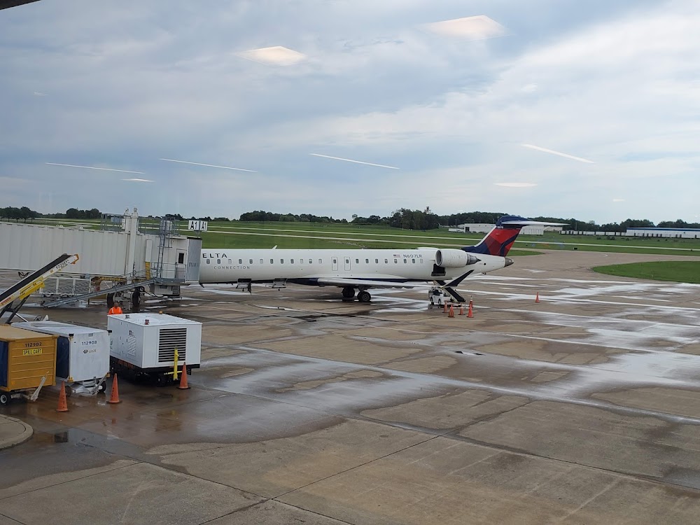
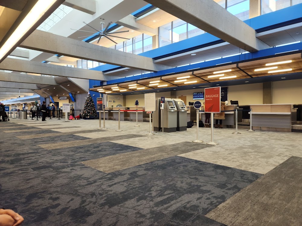
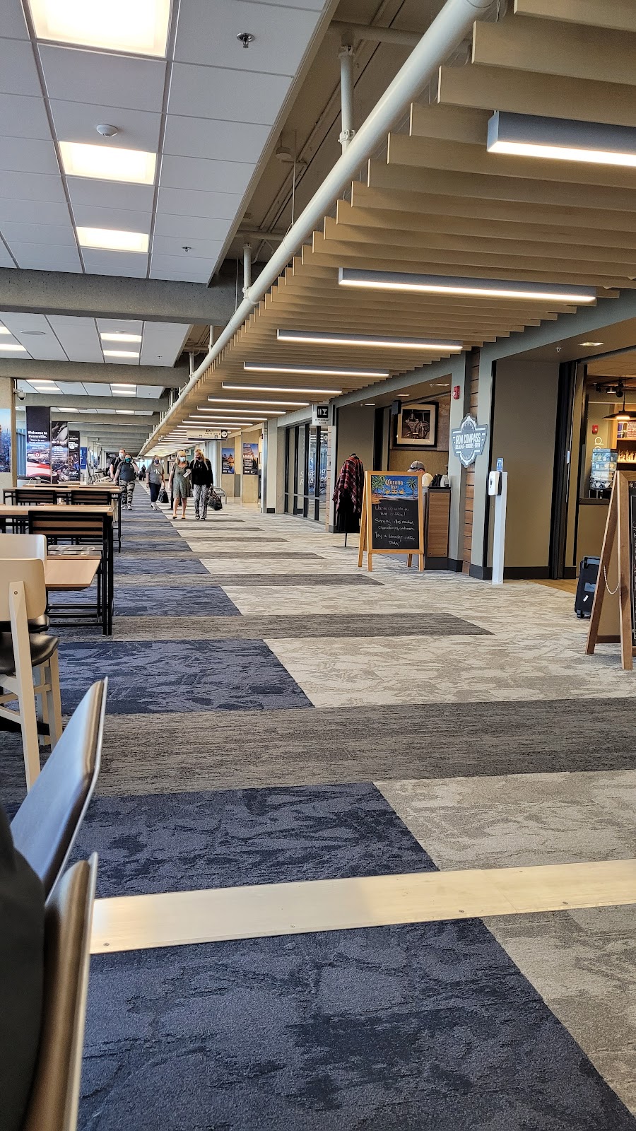
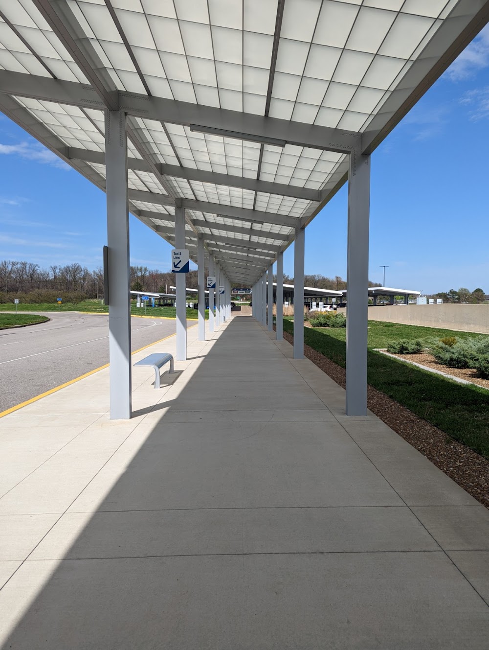
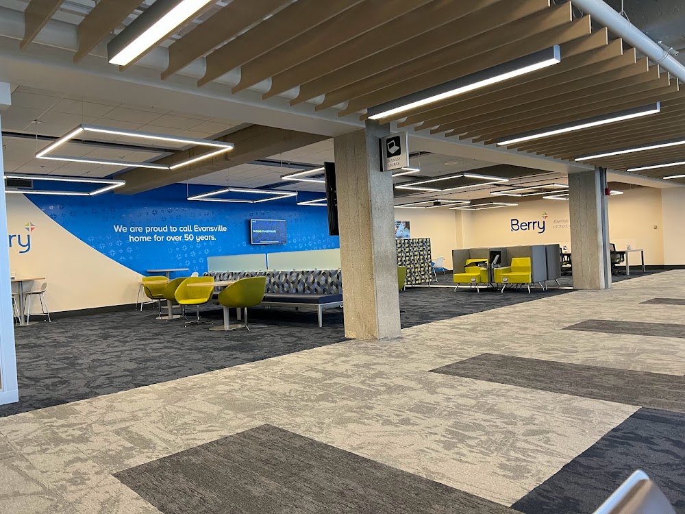
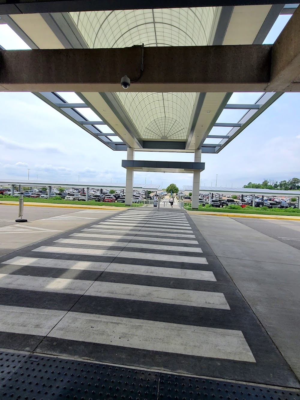
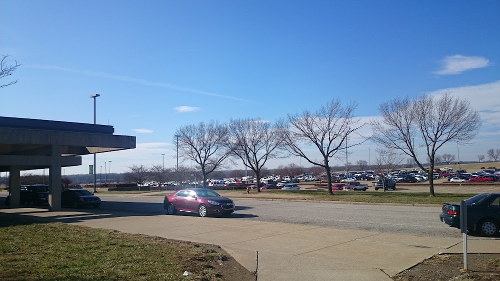
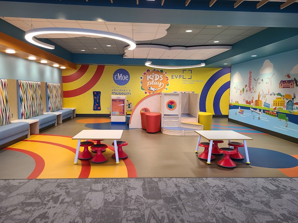
- Airport photos
- Crew car availability
- Transient parking location
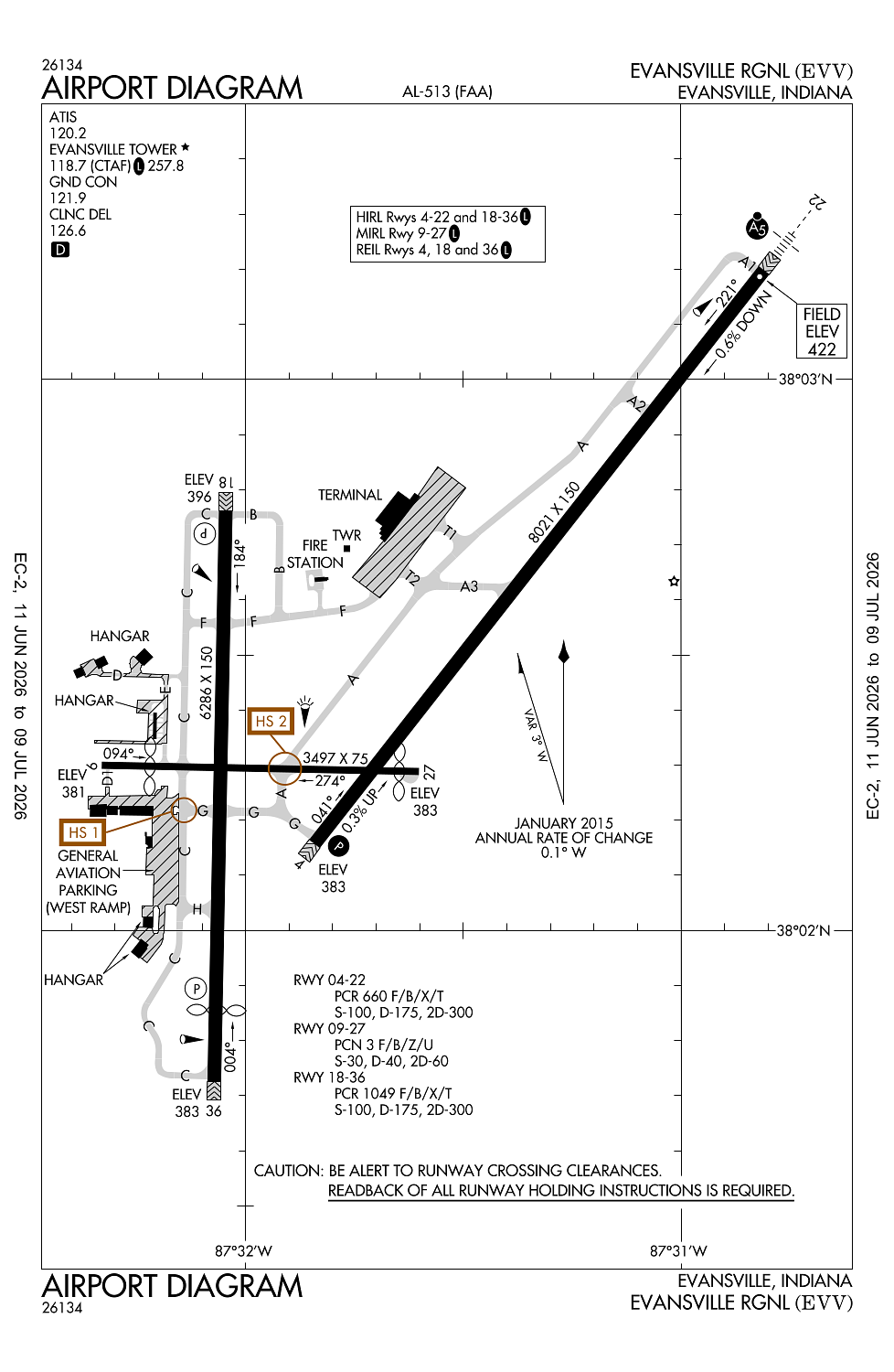
Location:
Evansville, IN
Elevation:
421ft
Sectional:
St Louis
Activation date:
Apr 1940
Fuel:
100LL, A (prices)
Runway 04/22:
8,021ft
Runway 18/36:
6,286ft
Runway 09/27:
3,497ft
Access: Open to the public
Similar Airports


Current Weather — VFR
-
Weather data is strictly informational and not for flight planning purposes.
-
METAR2026-07-25 07:54:00 CDT
Ceiling: 6,000ft Wind: 100° @ 3kt Temperature: 69°F Dewpoint: 64°F Weather: N/A Visbility: 10SM Clouds: Overcast @ 6,000ft Raw:METAR KEVV 251254Z 10003KT 10SM OVC060 21/18 A3008 RMK AO2 SLP183 T02060178 $ -
TAF2026-07-25 07:00:00 CDT – 2026-07-25 10:00:00 CDT
Ceiling: 6,000ft Wind: Variable Weather: Showers in vicinity Visbility: 6SM Clouds: Scattered @ 2,500ft, Overcast @ 6,000ft Raw:TAF KEVV 251120Z 2512/2612 VRB03KT P6SM VCSH SCT025 OVC060 TEMPO 2512/2515 5SM -SHRA BKN025 FM251500 VRB04KT P6SM OVC025 PROB30 2515/2518 5SM -TSRA BR OVC050CB FM251800 VRB05KT P6SM OVC025 FM260000 VRB03KT P6SM BKN030 TEMPO 2608/2612 4SM BR SCT030 -
TAF2026-07-25 07:00:00 CDT – 2026-07-25 10:00:00 CDT
Ceiling: 2,500ft Wind: 000° @ kt Weather: Light rain showers Visbility: 5SM Clouds: Broken @ 2,500ft Raw:TAF KEVV 251120Z 2512/2612 VRB03KT P6SM VCSH SCT025 OVC060 TEMPO 2512/2515 5SM -SHRA BKN025 FM251500 VRB04KT P6SM OVC025 PROB30 2515/2518 5SM -TSRA BR OVC050CB FM251800 VRB05KT P6SM OVC025 FM260000 VRB03KT P6SM BKN030 TEMPO 2608/2612 4SM BR SCT030 -
TAF2026-07-25 10:00:00 CDT – 2026-07-25 13:00:00 CDT
Ceiling: 2,500ft Wind: Variable Weather: N/A Visbility: 6SM Clouds: Overcast @ 2,500ft Raw:TAF KEVV 251120Z 2512/2612 VRB03KT P6SM VCSH SCT025 OVC060 TEMPO 2512/2515 5SM -SHRA BKN025 FM251500 VRB04KT P6SM OVC025 PROB30 2515/2518 5SM -TSRA BR OVC050CB FM251800 VRB05KT P6SM OVC025 FM260000 VRB03KT P6SM BKN030 TEMPO 2608/2612 4SM BR SCT030 -
TAF2026-07-25 10:00:00 CDT – 2026-07-25 13:00:00 CDT
Ceiling: 5,000ft Wind: 000° @ kt Weather: Light thunderstorm rain, mist Visbility: 5SM Clouds: Overcast @ 5,000ft Raw:TAF KEVV 251120Z 2512/2612 VRB03KT P6SM VCSH SCT025 OVC060 TEMPO 2512/2515 5SM -SHRA BKN025 FM251500 VRB04KT P6SM OVC025 PROB30 2515/2518 5SM -TSRA BR OVC050CB FM251800 VRB05KT P6SM OVC025 FM260000 VRB03KT P6SM BKN030 TEMPO 2608/2612 4SM BR SCT030 -
TAF2026-07-25 13:00:00 CDT – 2026-07-25 19:00:00 CDT
Ceiling: 2,500ft Wind: Variable Weather: N/A Visbility: 6SM Clouds: Overcast @ 2,500ft Raw:TAF KEVV 251120Z 2512/2612 VRB03KT P6SM VCSH SCT025 OVC060 TEMPO 2512/2515 5SM -SHRA BKN025 FM251500 VRB04KT P6SM OVC025 PROB30 2515/2518 5SM -TSRA BR OVC050CB FM251800 VRB05KT P6SM OVC025 FM260000 VRB03KT P6SM BKN030 TEMPO 2608/2612 4SM BR SCT030 -
TAF2026-07-25 19:00:00 CDT – 2026-07-26 07:00:00 CDT
Ceiling: 3,000ft Wind: Variable Weather: N/A Visbility: 6SM Clouds: Broken @ 3,000ft Raw:TAF KEVV 251120Z 2512/2612 VRB03KT P6SM VCSH SCT025 OVC060 TEMPO 2512/2515 5SM -SHRA BKN025 FM251500 VRB04KT P6SM OVC025 PROB30 2515/2518 5SM -TSRA BR OVC050CB FM251800 VRB05KT P6SM OVC025 FM260000 VRB03KT P6SM BKN030 TEMPO 2608/2612 4SM BR SCT030 -
TAF2026-07-26 03:00:00 CDT – 2026-07-26 07:00:00 CDT
Ceiling: Sky clear Wind: 000° @ kt Weather: Mist Visbility: 4SM Clouds: Scattered @ 3,000ft Raw:TAF KEVV 251120Z 2512/2612 VRB03KT P6SM VCSH SCT025 OVC060 TEMPO 2512/2515 5SM -SHRA BKN025 FM251500 VRB04KT P6SM OVC025 PROB30 2515/2518 5SM -TSRA BR OVC050CB FM251800 VRB05KT P6SM OVC025 FM260000 VRB03KT P6SM BKN030 TEMPO 2608/2612 4SM BR SCT030
Click/tap to add an annotation marker to the map
No webcams added yet.
Remarks
- Index c arff avbl o/r - 812-421-4408.
- Birds on & invof arpt.
- Twy e lgts ots.
- For cd when atct clsd ctc indianapolis artcc at 317-247-2411.
- Actvt malsr rwy 22; reil rwy 4, 18 & 36; papi rwy 4; mirl rwy 9/27; hirl rwy 18/36 - ctaf. when atct clsd hirl rwy 4/22 preset low ints; incr ints - ctaf.
Comments