Pirep is a free, collaborative database of all public and private airports. All pilots are welcome to contribute their local knowledge to any airport, no registration required.
Public
Undocumented
Edit Tags
No upcoming events. Is anything happening here soon?
Airport Statistics
- General description
- Transient parking location
- Fuel pump location
Location:
Firebaugh, CA
Elevation:
157ft
Sectional:
San Francisco
Activation date:
Nov 1973
Fuel:
None
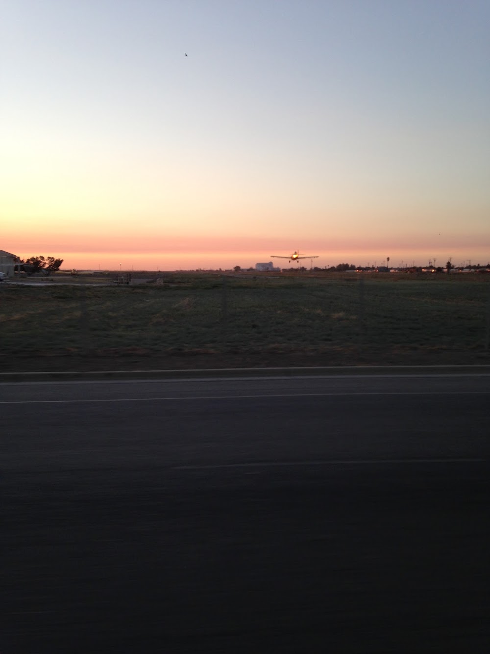
Runway 12/30:
3,102ft
Access: Open to the public
Click/tap to add an annotation marker to the map
No webcams added yet.
Remarks
- For cd ctc norcal apch at 916-361-6874.
- Rwy safety area 140 ft byd rwy 30 end.
- Actvt mirl ry 12/30 and vasi ry 30 - ctaf.
- City mgr. maintenance contact public works, ben gallegos 559-659-2043
- Rwy 12 +2' berm, 6' fence & 5' ditch 80'-140' fm rwy end 125'l to 125'r.
Comments