Pirep is a free, collaborative database of all public and private airports. All pilots are welcome to contribute their local knowledge to any airport, no registration required.
Public
Undocumented
Edit Tags
No upcoming events. Is anything happening here soon?
Airport Statistics
- General description
- Fuel pump location
- Airport map annotations
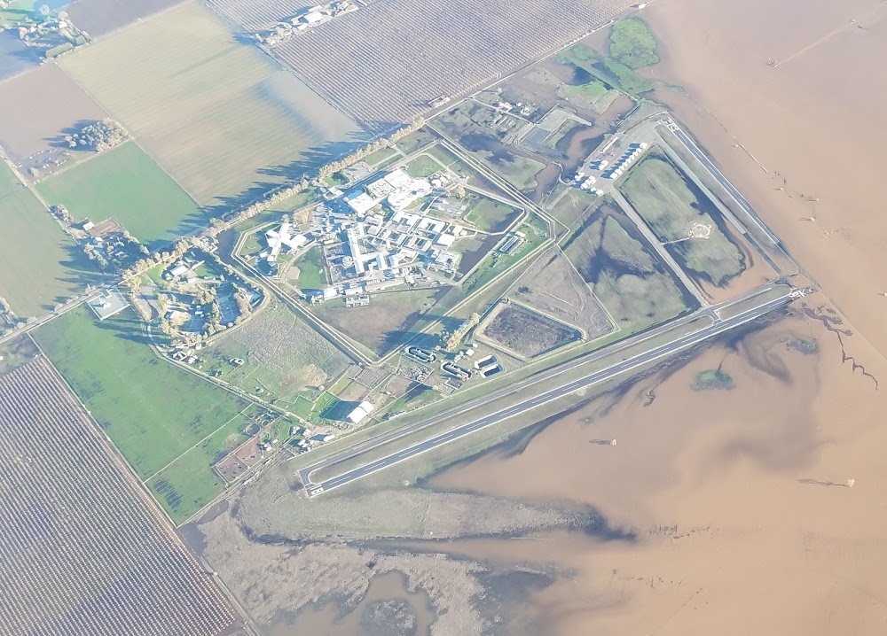
Location:
Franklin, CA
Elevation:
23ft
Sectional:
San Francisco
Activation date:
Jul 1946
Fuel:
None
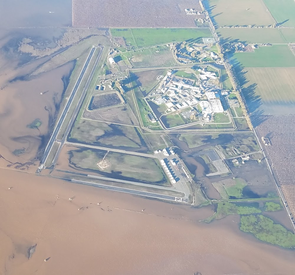
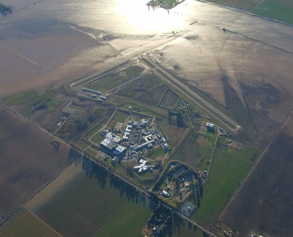
Runway 18/36:
3,123ft
Runway 09/27:
3,031ft
Access: Open to the public
Click/tap to add an annotation marker to the map
No webcams added yet.
Remarks
- Existed prior to 1959.
- All rys ltd to 12,500 lbs gwt.
- Monitor 122.9 within 5 miles. extsv student training in area.
- Calm wind ry 18.
- Avoid overflight of detention facility on east side of arpt excp in emergency.
- Conduct helicopter training n of ry 09 & w of ry 36.
- Ultralights activity invof arpt.
- For cd ctc norcal apch at 916-361-6874.
Comments