Pirep is a free, collaborative database of all public and private airports. All pilots are welcome to contribute their local knowledge to any airport, no registration required.
No upcoming events. Is anything happening here soon?
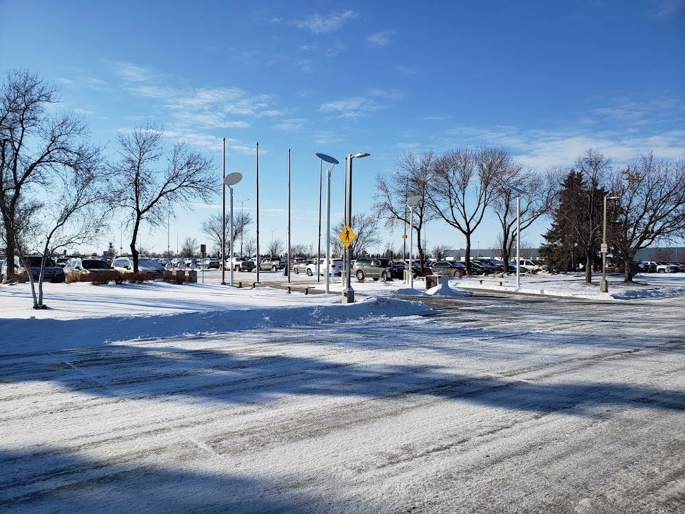
Last updated: 2023-04-14 02:36:22 CDT
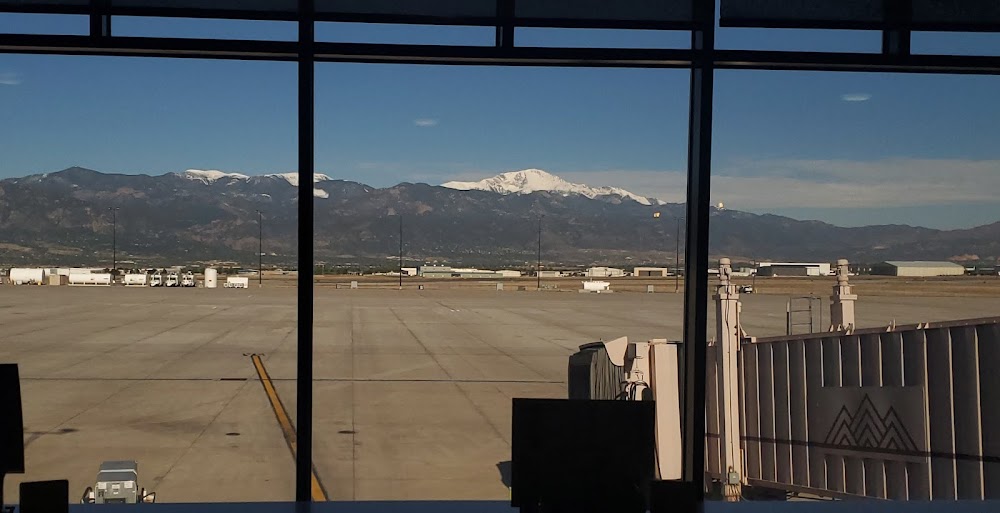
Last updated: 2023-04-14 02:24:22 CDT
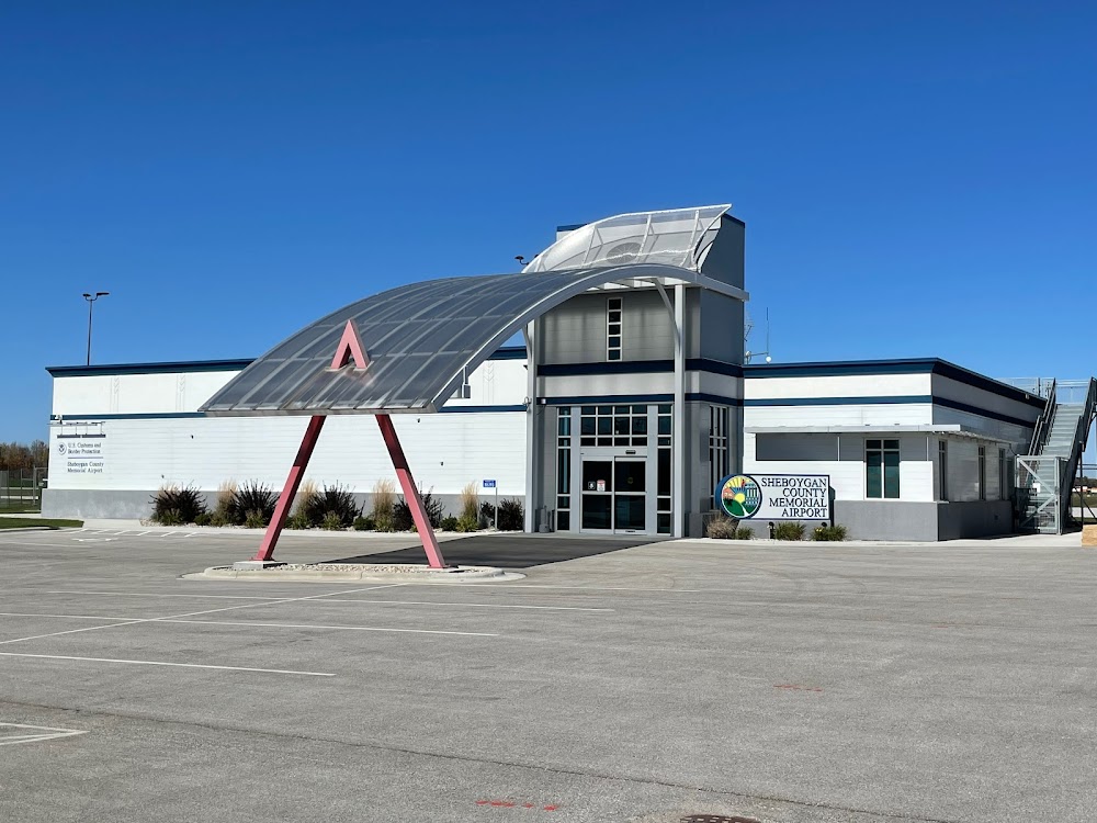
Last updated: 2023-04-14 02:24:22 CDT
Airport Statistics
- Local flying clubs
- Landing & tie-down fees
- Webcam links
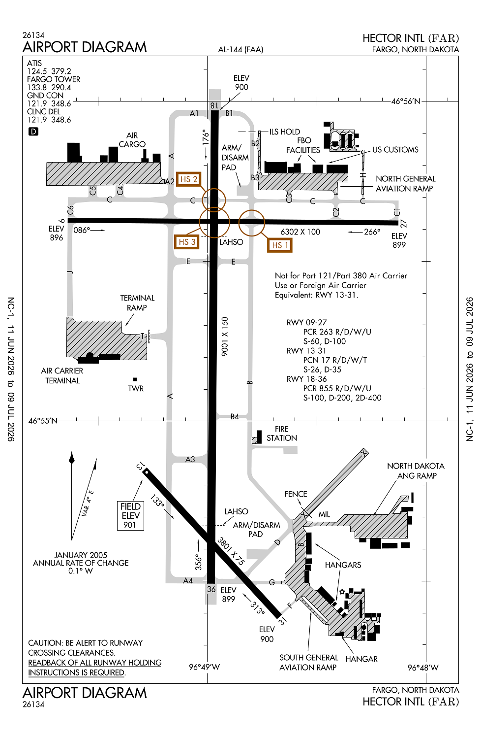
Location:
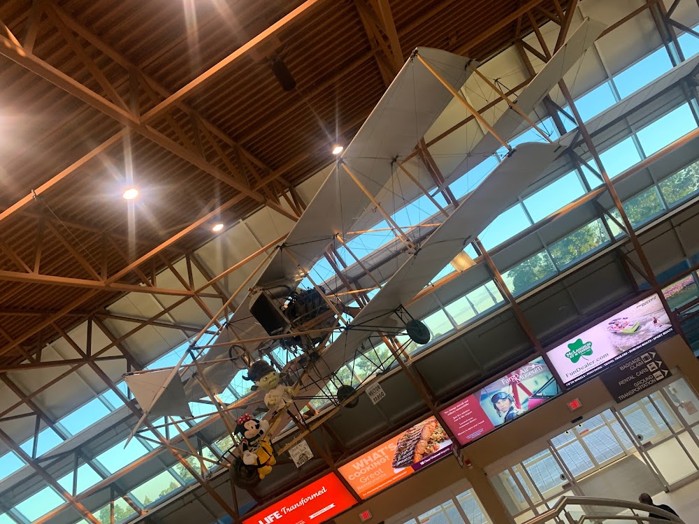
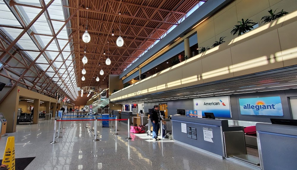
Fargo, ND
Elevation:
901ft
Sectional:
Twin Cities
Activation date:
Aug 1937
Fuel:
100LL, A, A+, A++, J8 (prices)
Runway 18/36:
9,001ft
Runway 09/27:
6,302ft
Runway 13/31:
3,801ft
Access: Open to the public
Similar Airports

Current Weather — IFR
-
Weather data is strictly informational and not for flight planning purposes.
-
METAR2026-07-16 04:53:00 CDT
Ceiling: Sky clear Wind: 130° @ 6kt Temperature: 71°F Dewpoint: 66°F Weather: Haze Visbility: 2SM Raw:METAR KFAR 160953Z 13006KT 2 1/2SM HZ CLR 22/19 A3004 RMK AO2 SLP166 T02170189 -
TAF2026-07-16 05:00:00 CDT – 2026-07-16 10:00:00 CDT
Ceiling: Sky clear Wind: Variable Weather: Smoke Visbility: 3SM Clouds: @ ft Raw:TAF KFAR 161005Z 1610/1706 VRB05KT 3SM FU SKC FM161500 17007KT 6SM FU SKC FM161900 16012G20KT 6SM FU SCT230 -
TAF2026-07-16 10:00:00 CDT – 2026-07-16 14:00:00 CDT
Ceiling: Sky clear Wind: 170° @ 7kt Weather: Smoke Visbility: 6SM Clouds: @ ft Raw:TAF KFAR 161005Z 1610/1706 VRB05KT 3SM FU SKC FM161500 17007KT 6SM FU SKC FM161900 16012G20KT 6SM FU SCT230 -
TAF2026-07-16 14:00:00 CDT – 2026-07-17 01:00:00 CDT
Ceiling: Sky clear Wind: 160° @ 12kt, gusts 20kt Weather: Smoke Visbility: 6SM Clouds: Scattered @ 23,000ft Raw:TAF KFAR 161005Z 1610/1706 VRB05KT 3SM FU SKC FM161500 17007KT 6SM FU SKC FM161900 16012G20KT 6SM FU SCT230
Click/tap to add an annotation marker to the map
No webcams added yet.
Remarks
- Index e arff avbl 2 hours ppr ctc 701-476-6790.
- Twy b n of twy d rstrd to acft less than 130,000 lbs.
- Flight notification service (adcus) available mon-fri 0830-1700.
- Military: ang: offl bus only ctc base ops dsn 362-8508, c701-451-2508 opr 1130-2200z++ clsd fri, sat, sun & hol exc dur sked trng. other tran acft ctc jet cntr c701-235-3600; cstms avbl 24 hr. rcr avbl fr ang ops on 262.0. rgt tfc rwy 18.
- Birds on and invof arpt.
Comments