Pirep is a free, collaborative database of all public and private airports. All pilots are welcome to contribute their local knowledge to any airport, no registration required.


Public
Undocumented
METAR / TAF
Edit Tags
No upcoming events. Is anything happening here soon?
Airport Statistics
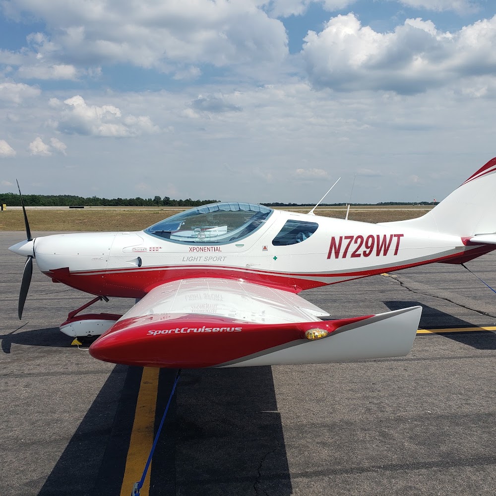
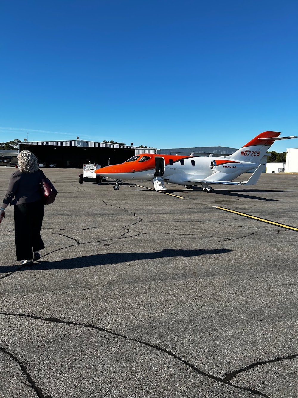
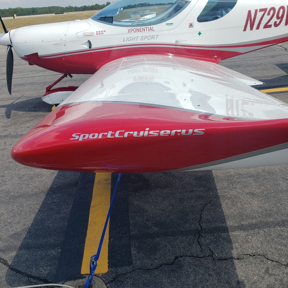
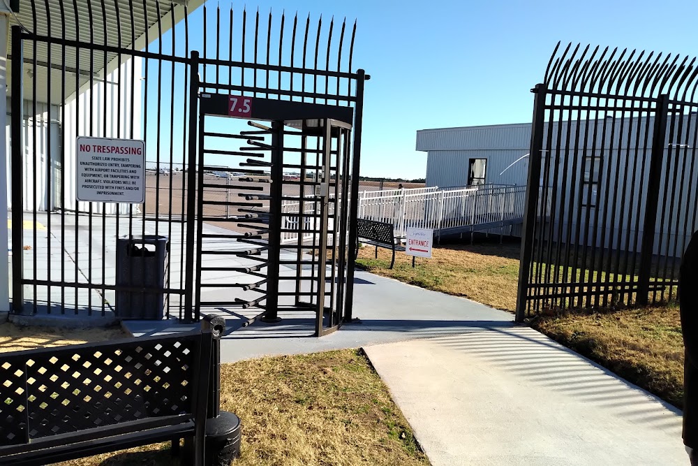
- Airport photos
- WiFi availability
- General description
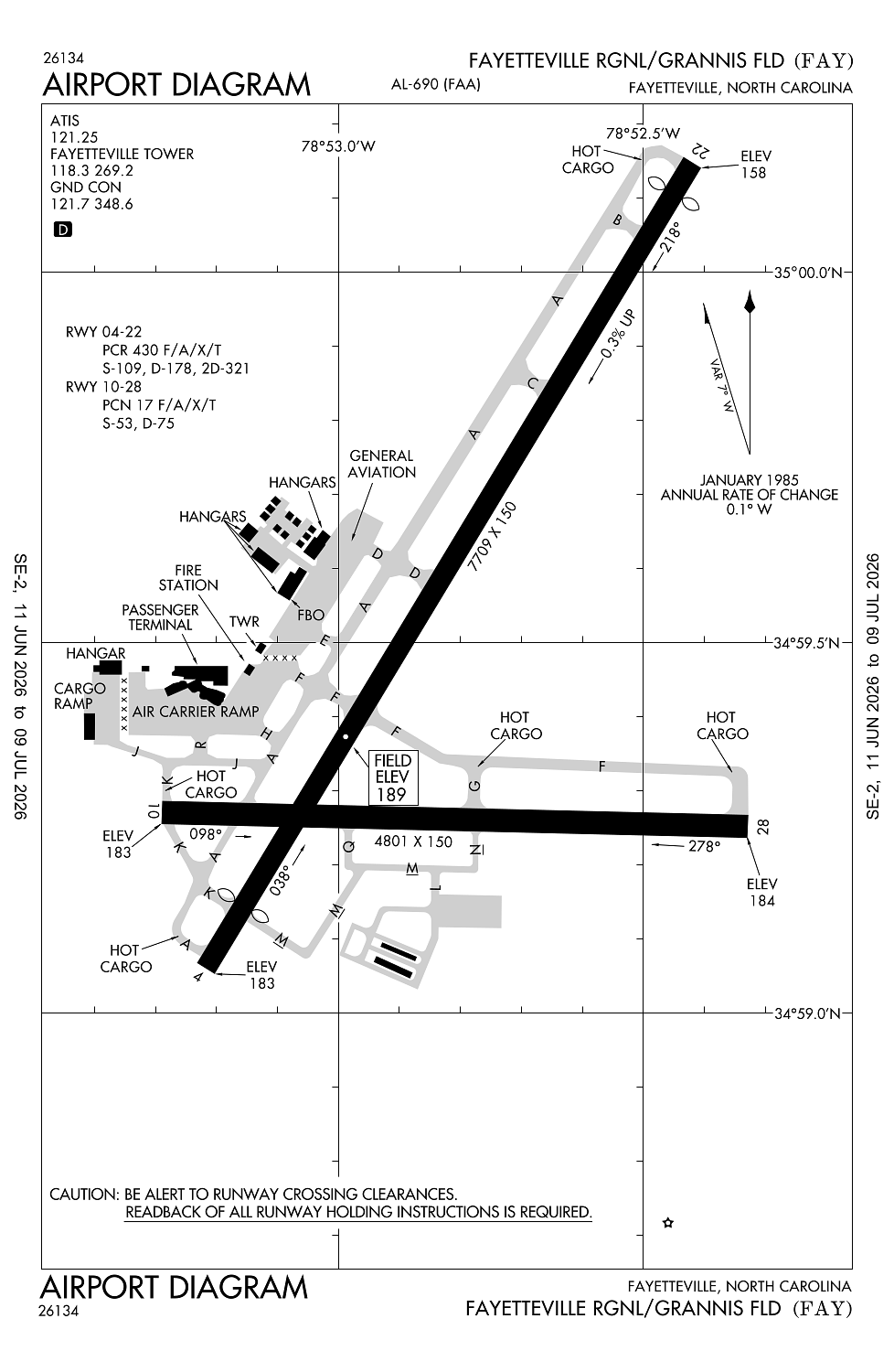
Location:
Fayetteville, NC
Elevation:
189ft
Sectional:
Charlotte
Activation date:
May 1949
Fuel:
100LL, A (prices)
Runway 04/22:
7,709ft
Runway 10/28:
4,801ft
Access: Open to the public
Current Weather — VFR
-
Weather data is strictly informational and not for flight planning purposes.
-
METAR2026-07-16 10:53:00 EDT
Ceiling: Sky clear Wind: Variable Temperature: 91°F Dewpoint: 71°F Weather: N/A Visbility: 10SM Raw:METAR KFAY 161453Z VRB04KT 10SM CLR 33/22 A3000 RMK AO2 SLP152 T03280222 51003 -
TAF2026-07-16 08:00:00 EDT – 2026-07-17 08:00:00 EDT
Ceiling: Sky clear Wind: Variable Weather: N/A Visbility: 6SM Clouds: Scattered @ 25,000ft Raw:TAF KFAY 161120Z 1612/1712 VRB05KT P6SM SCT250
Click/tap to add an annotation marker to the map
No webcams added yet.
Remarks
- Clsd to all mil acft over 17000 lbs for acr ramp opns excp 24 hr ppr. call amgr 910-433-1160 mon-fri.
- Major power plant repairs avbl for piston engines only.
- Pcr value: 430/f/a/x/t
Comments