Pirep is a free, collaborative database of all public and private airports. All pilots are welcome to contribute their local knowledge to any airport, no registration required.
No upcoming events. Is anything happening here soon?
Last updated: 2023-04-15 21:06:33 EDT
Last updated: 2023-04-15 21:06:33 EDT
Last updated: 2023-04-15 21:06:33 EDT
Last updated: 2023-04-16 00:44:52 EDT
Airport Statistics
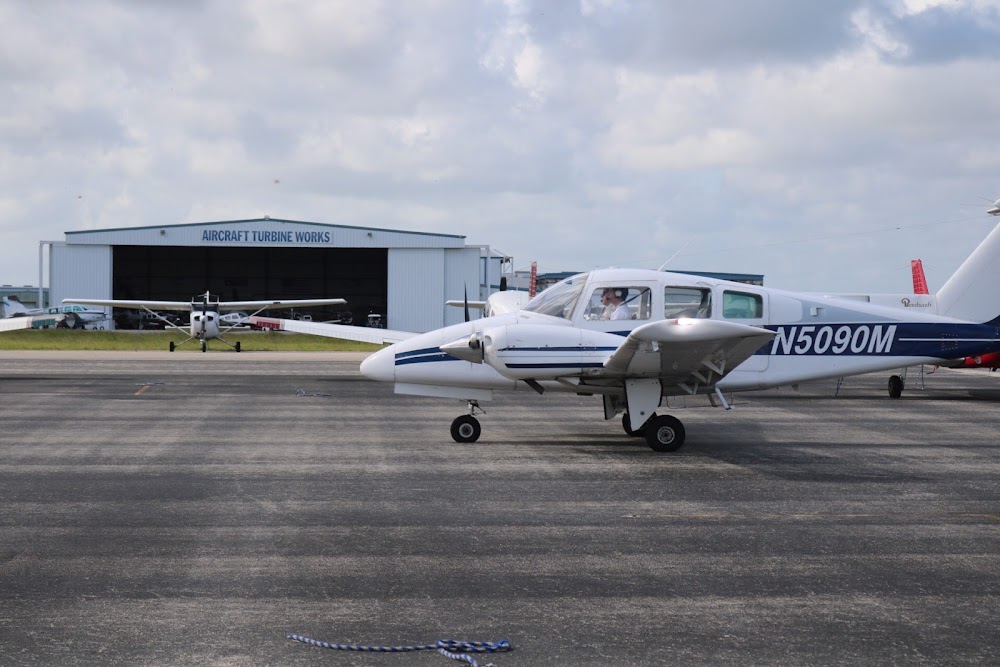
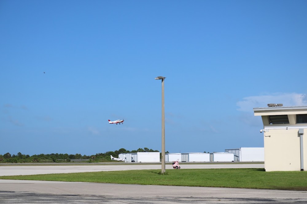
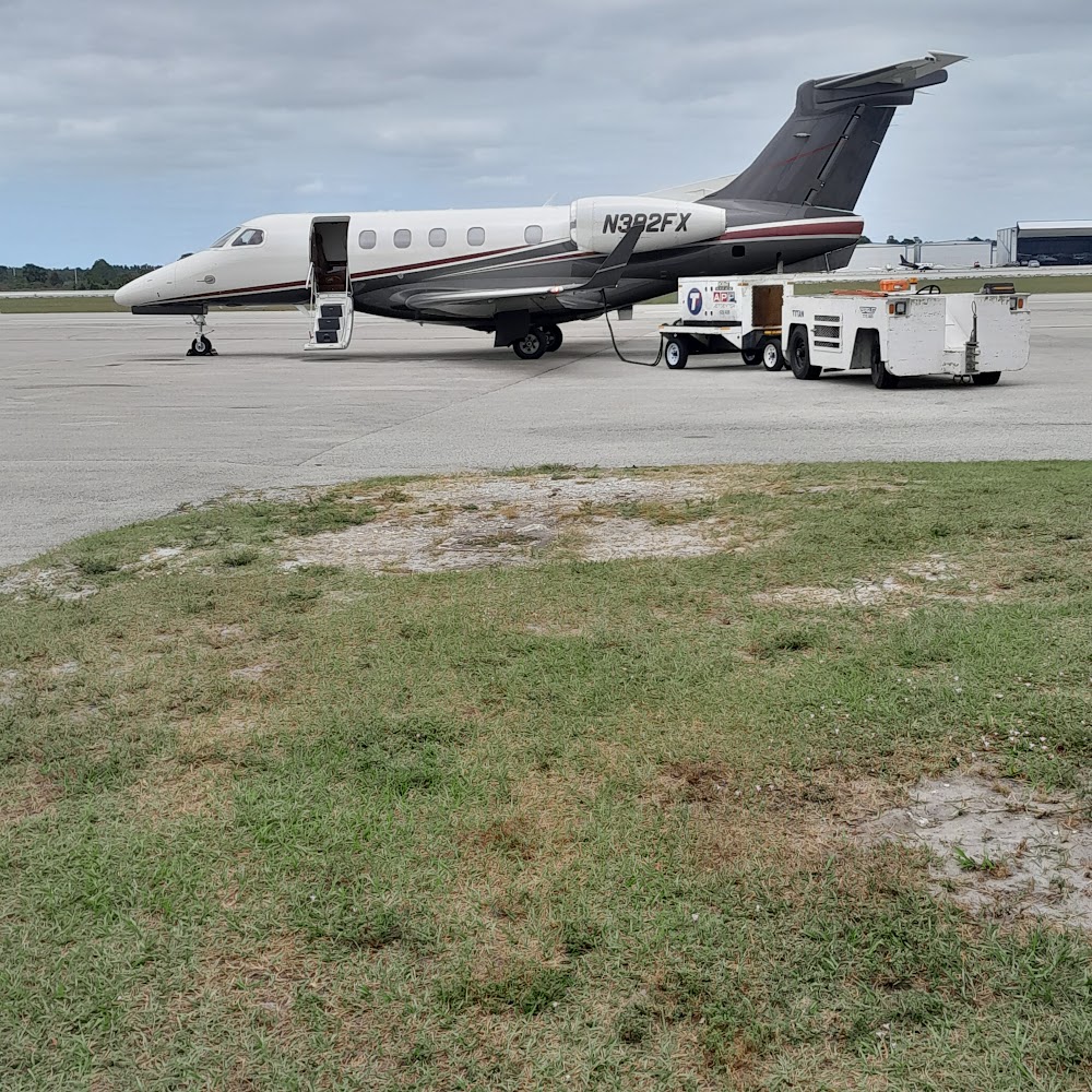
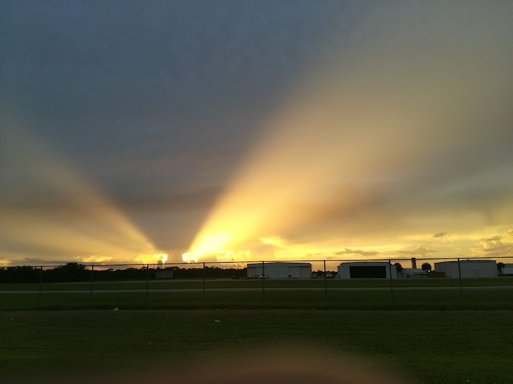
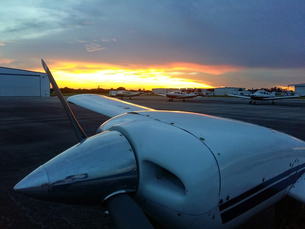
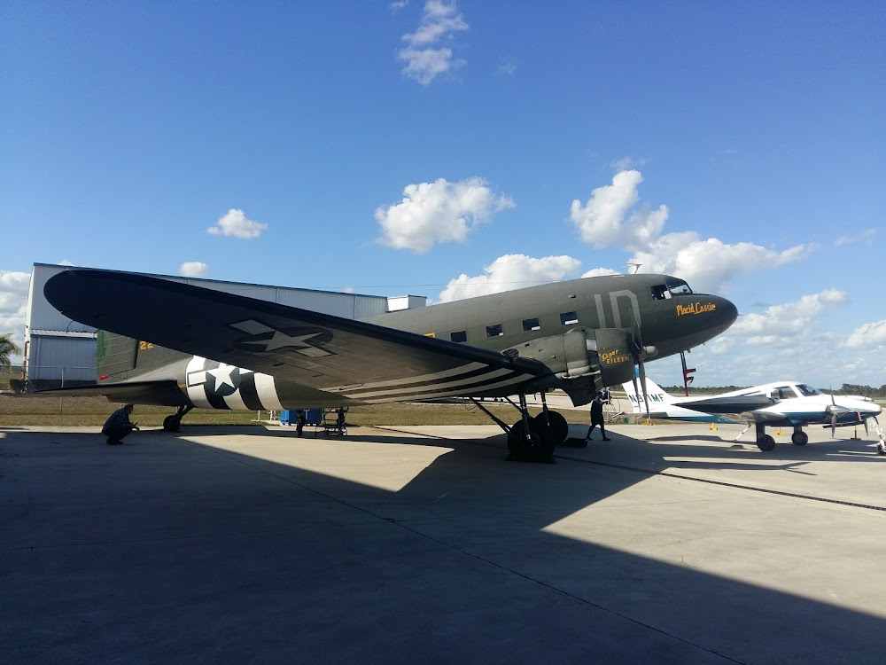
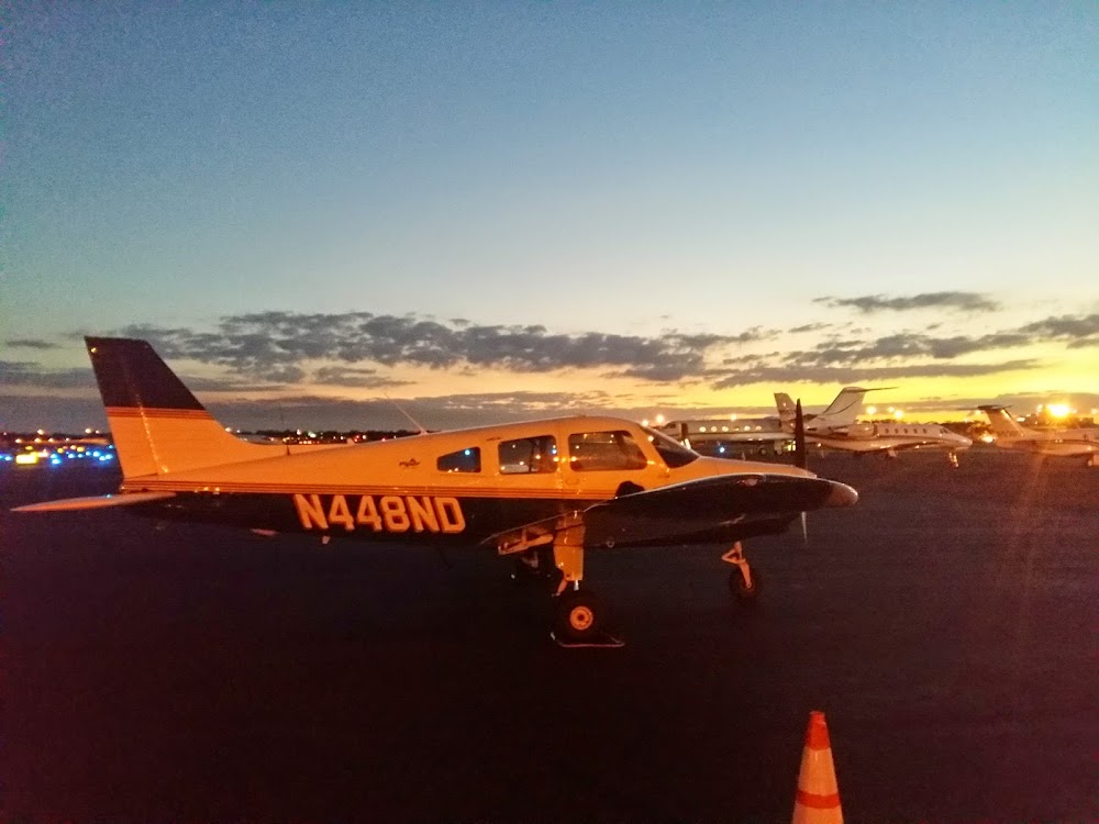
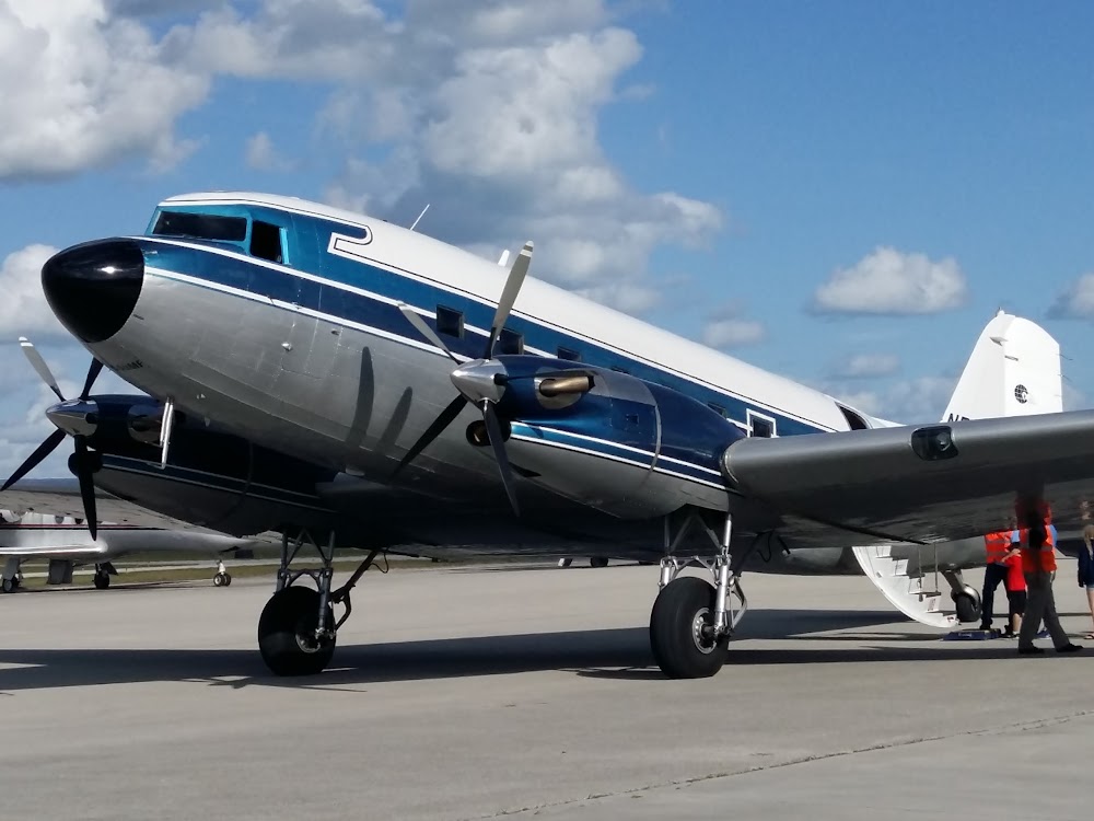
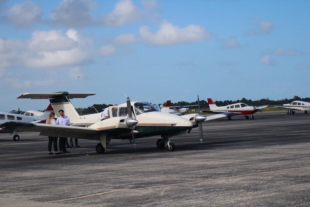
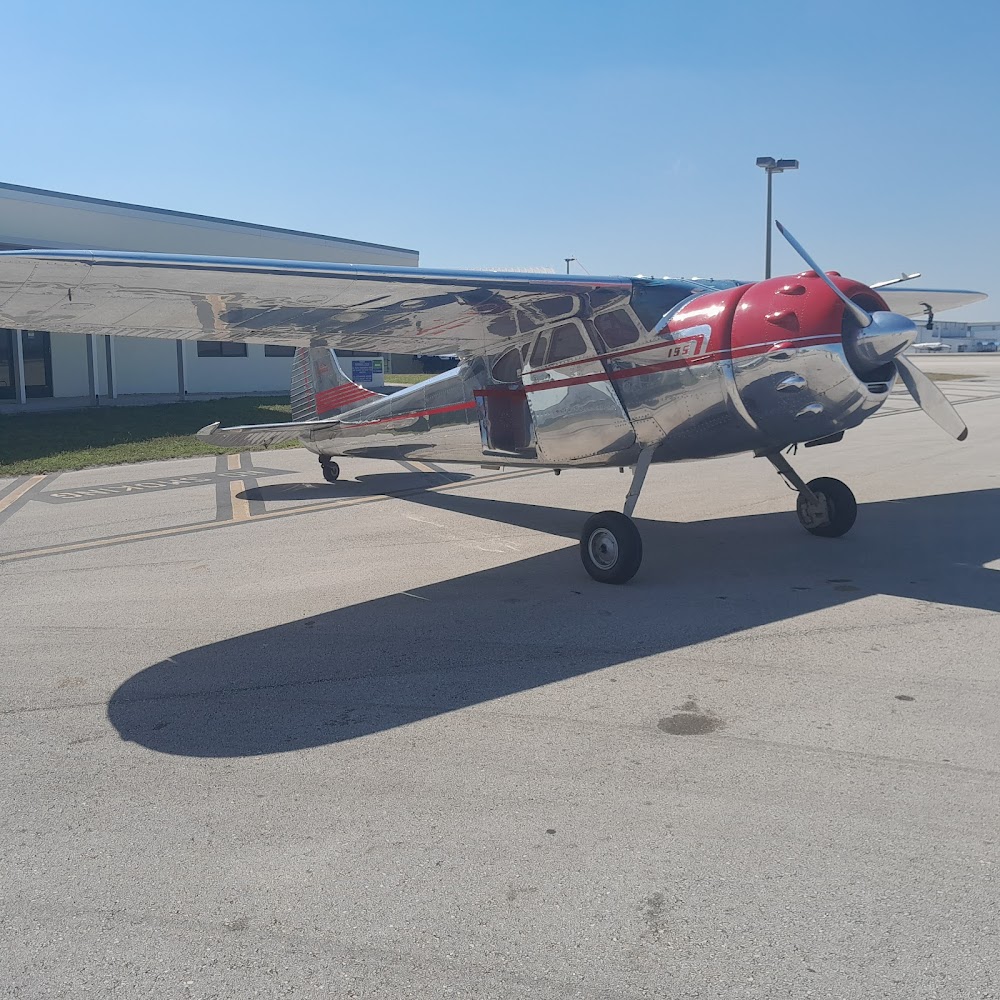
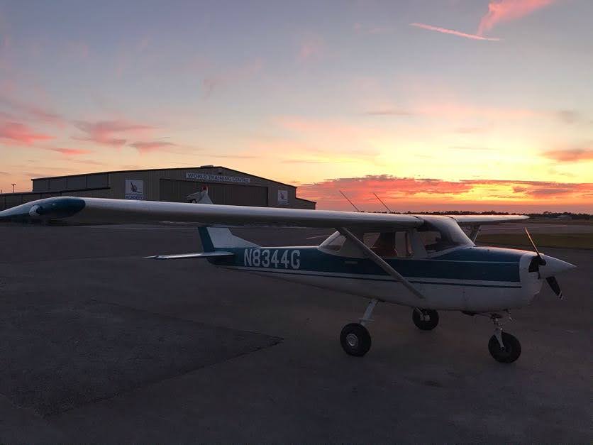
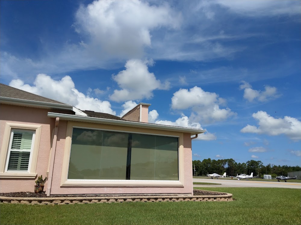
- Airport photos
- Local flying clubs
- WiFi availability
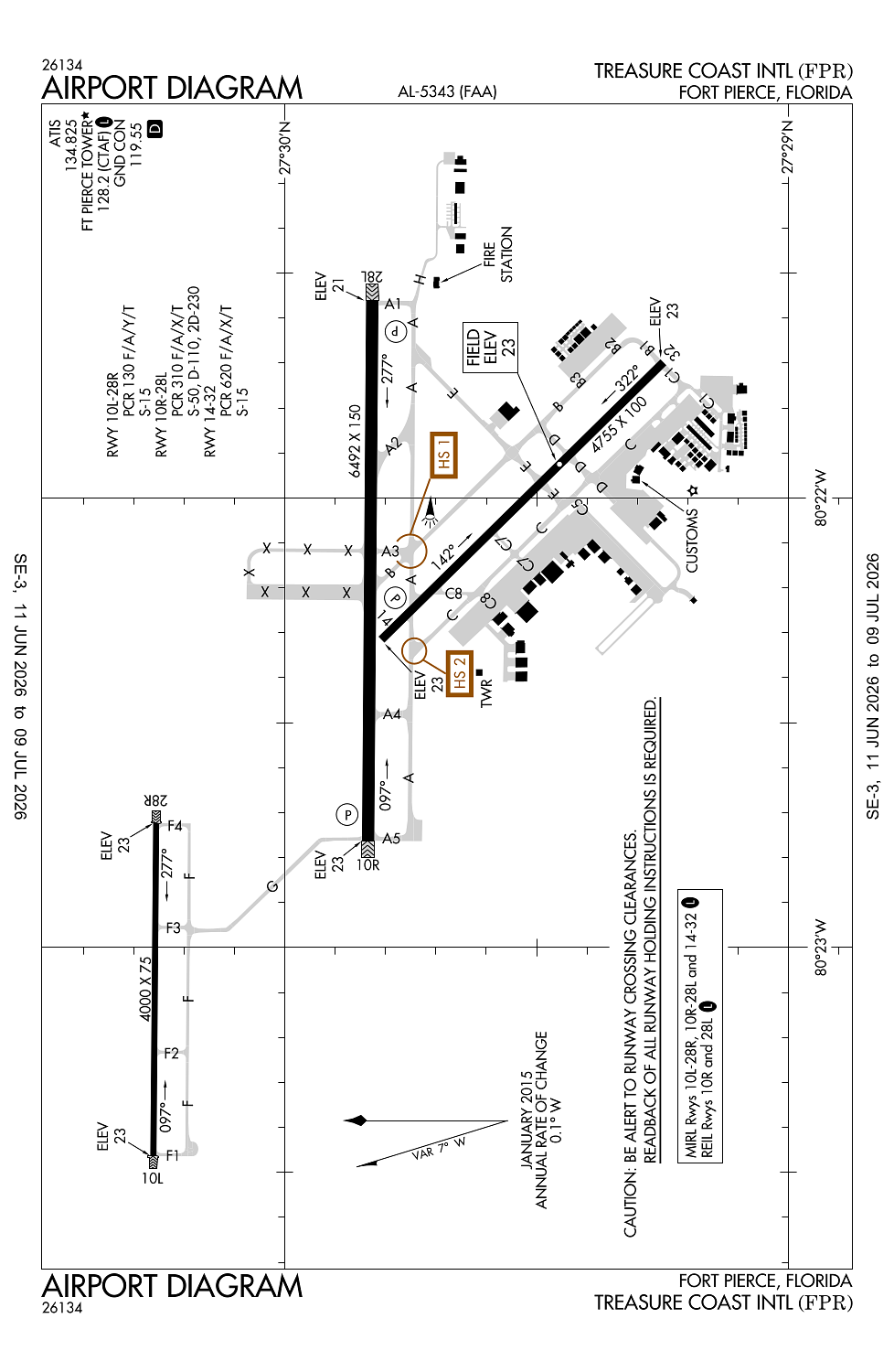
Location:
Fort Pierce, FL
Elevation:
23ft
Sectional:
Miami
Fuel:
100LL, A (prices)
Runway 10R/28L:
6,492ft
Runway 14/32:
4,755ft
Runway 10L/28R:
4,000ft
Access: Open to the public
Similar Airports

Current Weather — VFR
-
Weather data is strictly informational and not for flight planning purposes.
-
METAR2026-07-20 12:53:00 EDT
Ceiling: 6,000ft Wind: 140° @ 11kt, gusts 14kt Temperature: 91°F Dewpoint: 75°F Weather: N/A Visbility: 10SM Clouds: Scattered @ 4,500ft, Broken @ 6,000ft, Broken @ 7,500ft Raw:METAR KFPR 201653Z 14011G14KT 10SM SCT045 BKN060 BKN075 33/24 A2999 RMK AO2 LTG DSNT SE AND S SLP155 T03280239 -
TAF2026-07-20 08:00:00 EDT – 2026-07-20 10:00:00 EDT
Ceiling: Sky clear Wind: 160° @ 5kt Weather: N/A Visbility: 6SM Clouds: Few @ 5,000ft, Scattered @ 7,000ft, Scattered @ 25,000ft Raw:TAF KFPR 201123Z 2012/2112 16005KT P6SM FEW050 SCT070 SCT250 FM201400 17011G18KT P6SM FEW030 SCT250 FM201800 15014G20KT P6SM VCTS SCT035CB SCT060 SCT100 PROB30 2018/2021 3SM TSRA BKN035CB FM210000 16006KT P6SM SCT050 BKN250 -
TAF2026-07-20 10:00:00 EDT – 2026-07-20 14:00:00 EDT
Ceiling: Sky clear Wind: 170° @ 11kt, gusts 18kt Weather: N/A Visbility: 6SM Clouds: Few @ 3,000ft, Scattered @ 25,000ft Raw:TAF KFPR 201123Z 2012/2112 16005KT P6SM FEW050 SCT070 SCT250 FM201400 17011G18KT P6SM FEW030 SCT250 FM201800 15014G20KT P6SM VCTS SCT035CB SCT060 SCT100 PROB30 2018/2021 3SM TSRA BKN035CB FM210000 16006KT P6SM SCT050 BKN250 -
TAF2026-07-20 14:00:00 EDT – 2026-07-20 20:00:00 EDT
Ceiling: Sky clear Wind: 150° @ 14kt, gusts 20kt Weather: Thunderstorm in vicinity Visbility: 6SM Clouds: Scattered @ 3,500ft, Scattered @ 6,000ft, Scattered @ 10,000ft Raw:TAF KFPR 201123Z 2012/2112 16005KT P6SM FEW050 SCT070 SCT250 FM201400 17011G18KT P6SM FEW030 SCT250 FM201800 15014G20KT P6SM VCTS SCT035CB SCT060 SCT100 PROB30 2018/2021 3SM TSRA BKN035CB FM210000 16006KT P6SM SCT050 BKN250 -
TAF2026-07-20 14:00:00 EDT – 2026-07-20 17:00:00 EDT
Ceiling: 3,500ft Wind: 000° @ kt Weather: Thunderstorm rain Visbility: 3SM Clouds: Broken @ 3,500ft Raw:TAF KFPR 201123Z 2012/2112 16005KT P6SM FEW050 SCT070 SCT250 FM201400 17011G18KT P6SM FEW030 SCT250 FM201800 15014G20KT P6SM VCTS SCT035CB SCT060 SCT100 PROB30 2018/2021 3SM TSRA BKN035CB FM210000 16006KT P6SM SCT050 BKN250 -
TAF2026-07-20 20:00:00 EDT – 2026-07-21 08:00:00 EDT
Ceiling: 25,000ft Wind: 160° @ 6kt Weather: N/A Visbility: 6SM Clouds: Scattered @ 5,000ft, Broken @ 25,000ft Raw:TAF KFPR 201123Z 2012/2112 16005KT P6SM FEW050 SCT070 SCT250 FM201400 17011G18KT P6SM FEW030 SCT250 FM201800 15014G20KT P6SM VCTS SCT035CB SCT060 SCT100 PROB30 2018/2021 3SM TSRA BKN035CB FM210000 16006KT P6SM SCT050 BKN250
Click/tap to add an annotation marker to the map
No webcams added yet.
Remarks
- This airport has been surveyed by the national geodetic survey.
- Extensive flight training on and within 20 miles of arpt blo 6000 ft. vfr training acft outside of class d airspace transmit intended activity on 123.3.
- Twy signs & lgts unrelbl.
- Numerous flocks of birds & wildlife on and invof arpt.
- Twy c1 restricted to acft with a wing span of 105 ft or less.
Comments