Pirep is a free, collaborative database of all public and private airports. All pilots are welcome to contribute their local knowledge to any airport, no registration required.

No upcoming events. Is anything happening here soon?
Last updated: 2023-04-14 08:36:42 CDT
Last updated: 2023-04-14 08:36:42 CDT
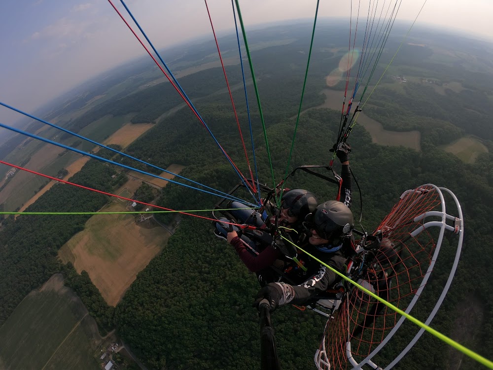
Last updated: 2023-04-14 08:36:42 CDT
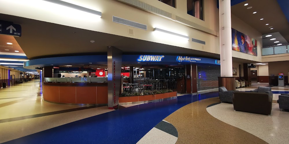
Last updated: 2023-04-14 08:36:42 CDT
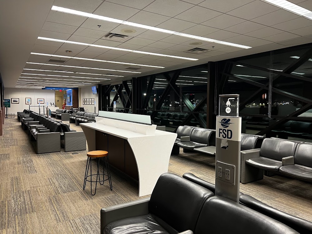
Last updated: 2024-02-11 01:23:29 CST
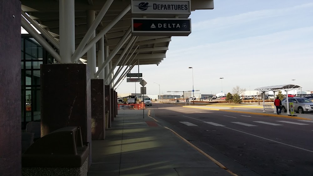
Last updated: 2023-04-14 08:36:42 CDT
Airport Statistics
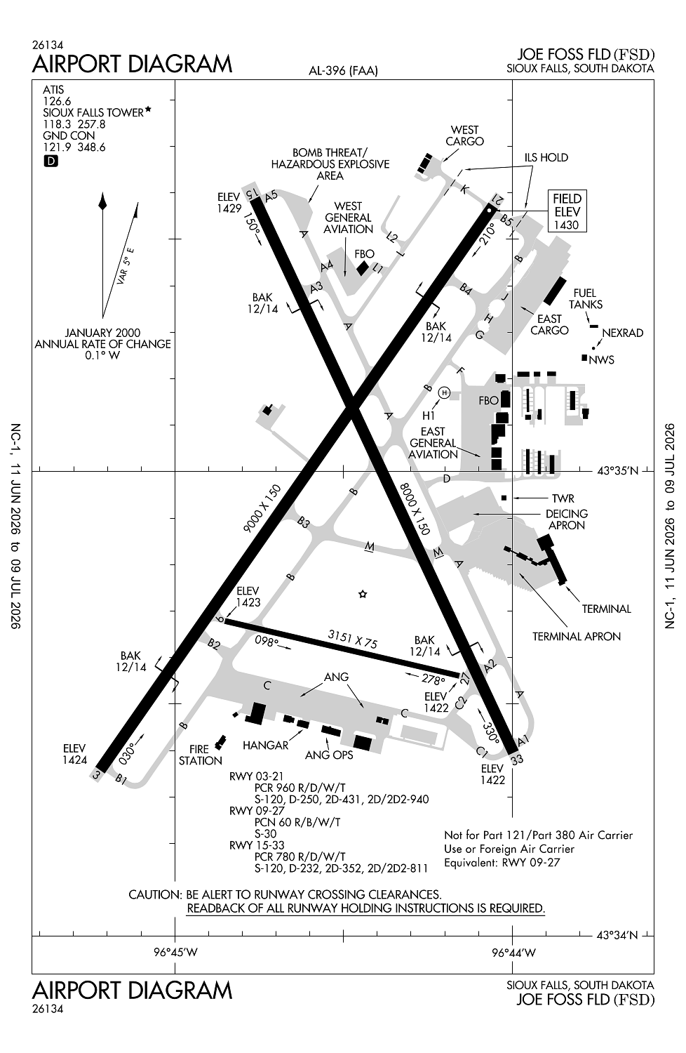
Location:
Sioux Falls, SD
Elevation:
1,430ft
Sectional:
Omaha
Activation date:
Nov 1938
Fuel:
100LL, A (prices)
Runway 03/21:
9,000ft
Runway 15/33:
8,000ft
Runway 09/27:
3,151ft
Runway H1:
50ft
Access: Open to the public
Similar Airports

Current Weather — MVFR
-
Weather data is strictly informational and not for flight planning purposes.
-
METAR2026-07-24 12:08:00 CDT
Ceiling: 1,000ft Wind: 180° @ 10kt Temperature: 69°F Dewpoint: 64°F Weather: N/A Visbility: 10SM Clouds: Overcast @ 1,000ft Raw:SPECI KFSD 241708Z 18010KT 10SM OVC010 21/18 A3001 RMK AO2 T02060178 -
TAF2026-07-24 13:00:00 CDT – 2026-07-24 15:00:00 CDT
Ceiling: 1,200ft Wind: 180° @ 12kt Weather: N/A Visbility: 6SM Clouds: Overcast @ 1,200ft Raw:TAF KFSD 241720Z 2418/2518 18012KT P6SM OVC012 FM242000 19010G17KT P6SM BKN023 FM242100 19010G16KT P6SM SCT035 FM250300 16008KT P6SM FEW250 FM251300 20005KT P6SM SCT250 -
TAF2026-07-24 15:00:00 CDT – 2026-07-24 16:00:00 CDT
Ceiling: 2,300ft Wind: 190° @ 10kt, gusts 17kt Weather: N/A Visbility: 6SM Clouds: Broken @ 2,300ft Raw:TAF KFSD 241720Z 2418/2518 18012KT P6SM OVC012 FM242000 19010G17KT P6SM BKN023 FM242100 19010G16KT P6SM SCT035 FM250300 16008KT P6SM FEW250 FM251300 20005KT P6SM SCT250 -
TAF2026-07-24 16:00:00 CDT – 2026-07-24 22:00:00 CDT
Ceiling: Sky clear Wind: 190° @ 10kt, gusts 16kt Weather: N/A Visbility: 6SM Clouds: Scattered @ 3,500ft Raw:TAF KFSD 241720Z 2418/2518 18012KT P6SM OVC012 FM242000 19010G17KT P6SM BKN023 FM242100 19010G16KT P6SM SCT035 FM250300 16008KT P6SM FEW250 FM251300 20005KT P6SM SCT250 -
TAF2026-07-24 22:00:00 CDT – 2026-07-25 08:00:00 CDT
Ceiling: Sky clear Wind: 160° @ 8kt Weather: N/A Visbility: 6SM Clouds: Few @ 25,000ft Raw:TAF KFSD 241720Z 2418/2518 18012KT P6SM OVC012 FM242000 19010G17KT P6SM BKN023 FM242100 19010G16KT P6SM SCT035 FM250300 16008KT P6SM FEW250 FM251300 20005KT P6SM SCT250 -
TAF2026-07-25 08:00:00 CDT – 2026-07-25 13:00:00 CDT
Ceiling: Sky clear Wind: 200° @ 5kt Weather: N/A Visbility: 6SM Clouds: Scattered @ 25,000ft Raw:TAF KFSD 241720Z 2418/2518 18012KT P6SM OVC012 FM242000 19010G17KT P6SM BKN023 FM242100 19010G16KT P6SM SCT035 FM250300 16008KT P6SM FEW250 FM251300 20005KT P6SM SCT250
Click/tap to add an annotation marker to the map
No webcams added yet.
Remarks
- Migratory birds within 25 nm primarily between mar-nov.
- Waterfowl, birds & deer on & invof arpt.
- Flt notification svc (adcus) avbl mon-fri 0800-1600 call (605) 338-4384; aft hrs call (605) 373-3523 prior to dep.
- East ga ramp restricted to 60,000 lbs.
- Atct has limited vis on twys hotel, golf and juliet btn the east cargo ramp and twy bravo.
Comments