Pirep is a free, collaborative database of all public and private airports. All pilots are welcome to contribute their local knowledge to any airport, no registration required.


Public
Undocumented
METAR / TAF
Edit Tags
No upcoming events. Is anything happening here soon?
Airport Statistics
- Fuel pump location
- General description
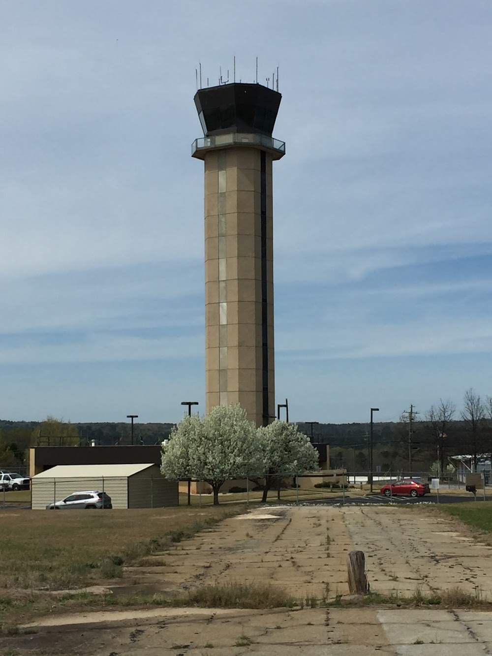
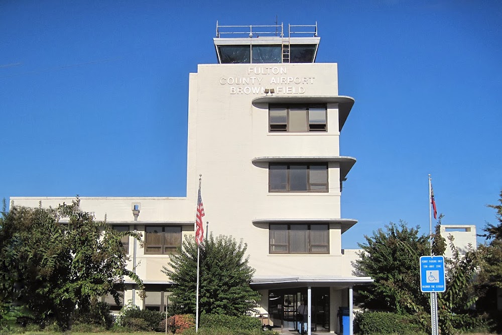
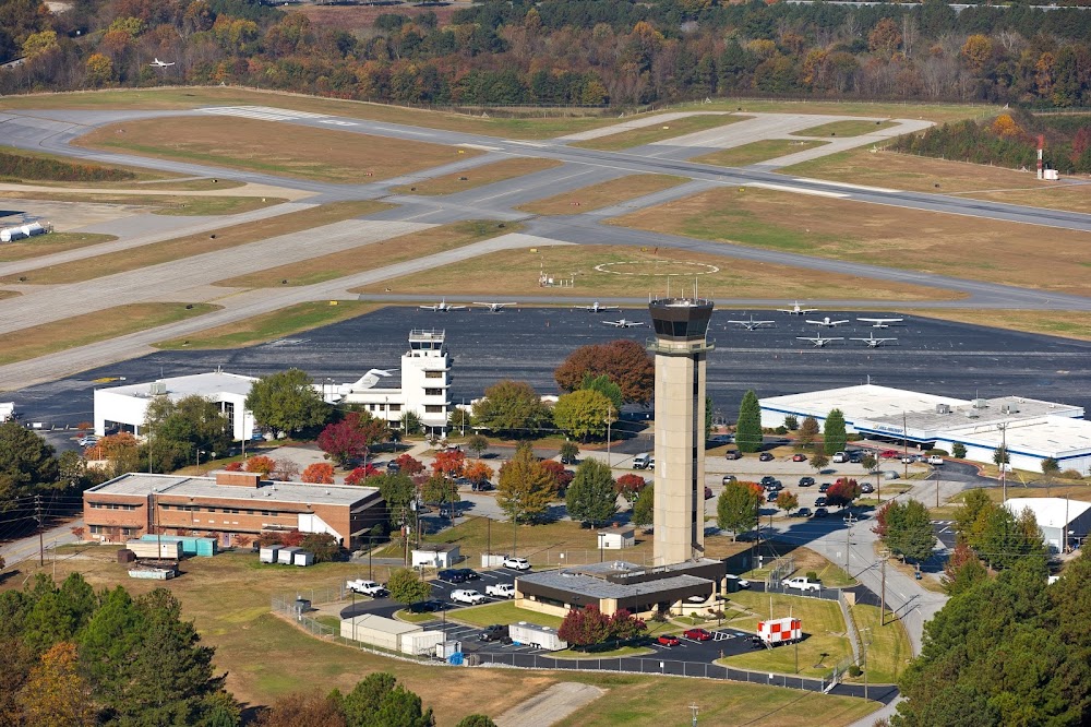
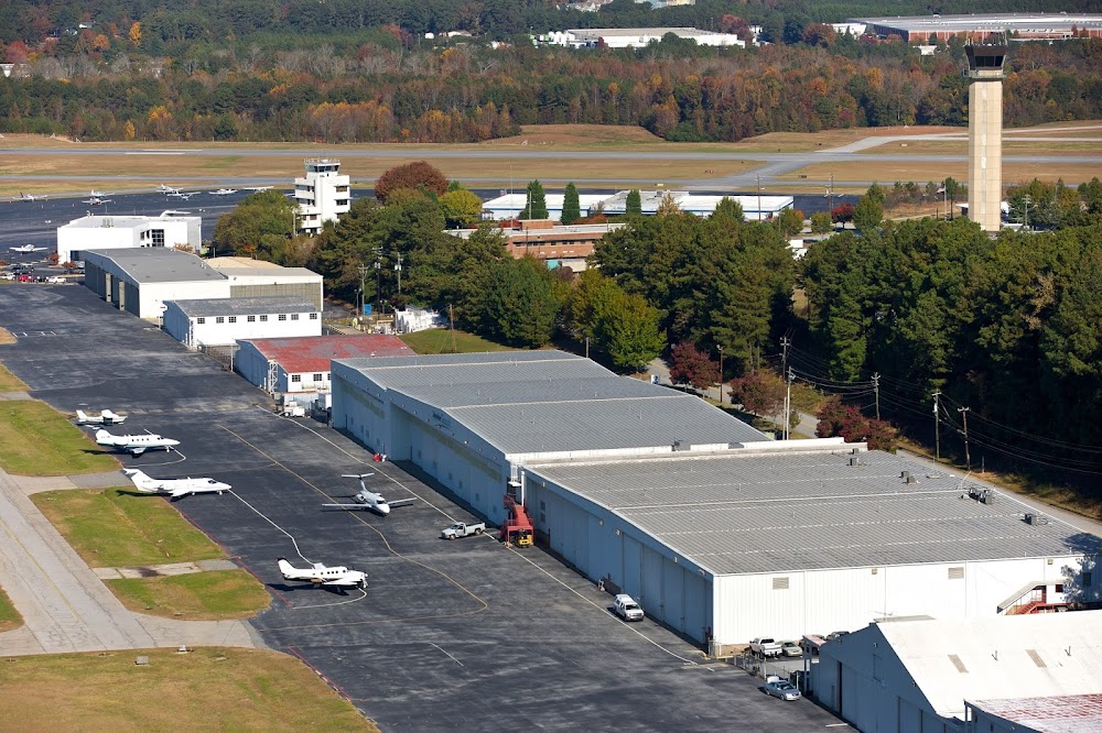
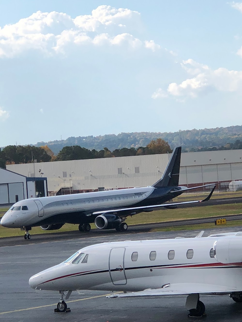
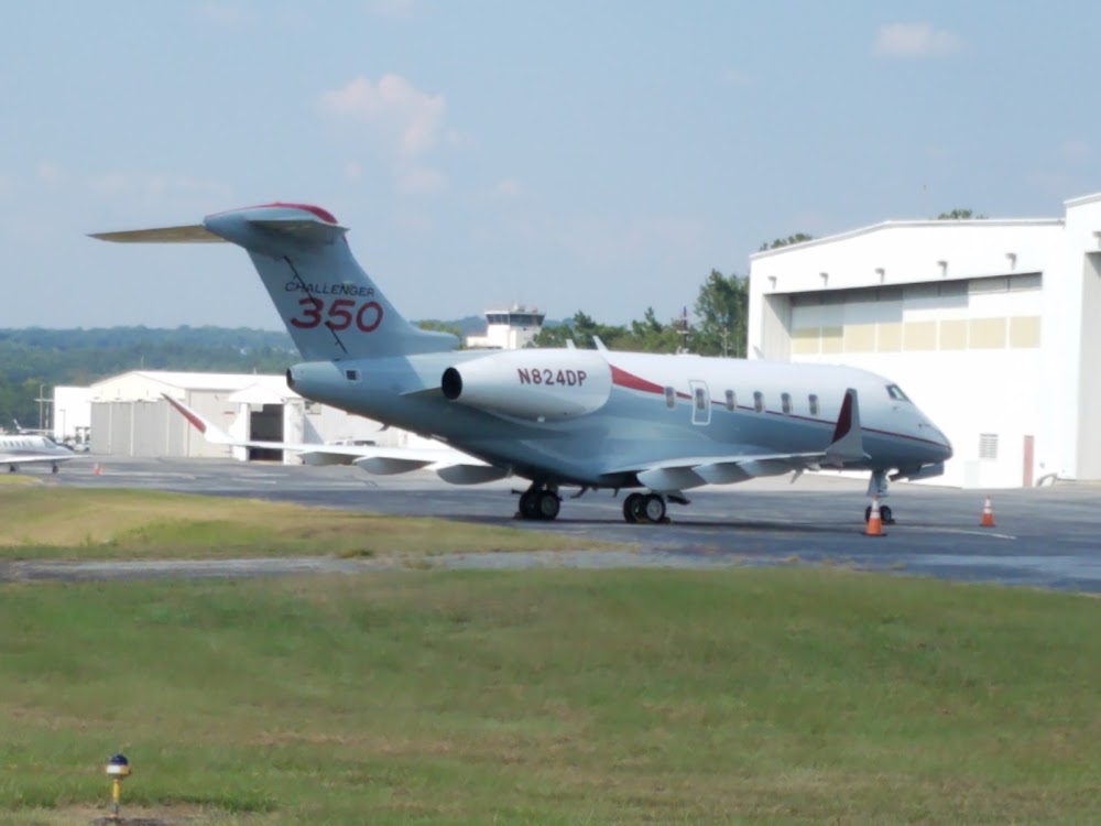
- Airport photos
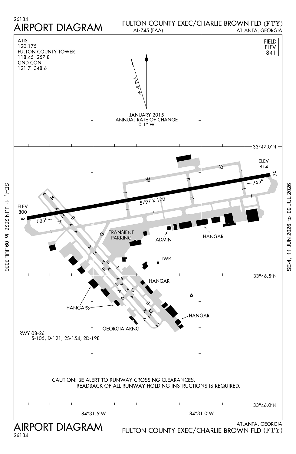
Location:
Atlanta, GA
Elevation:
841ft
Sectional:
Atlanta
Activation date:
Sep 1949
Fuel:
100LL, A+ (prices)
Runway 08/26:
5,797ft
Runway 14/32:
4,158ft
Access: Open to the public
Current Weather — VFR
-
Weather data is strictly informational and not for flight planning purposes.
-
METAR2026-07-20 04:53:00 EDT
Ceiling: Sky clear Wind: Calm Temperature: 73°F Dewpoint: 71°F Weather: N/A Visbility: 10SM Raw:METAR KFTY 200853Z 00000KT 10SM CLR 23/22 A2996 RMK AO2 SLP134 T02330217 56005 -
TAF2026-07-20 02:00:00 EDT – 2026-07-20 10:00:00 EDT
Ceiling: Sky clear Wind: Calm Weather: N/A Visbility: 6SM Clouds: Scattered @ 25,000ft Raw:TAF KFTY 200520Z 2006/2106 00000KT P6SM SCT250 FM201400 21005KT P6SM SCT025 SCT100 FM201600 20005KT P6SM SCT040 PROB30 2020/2024 4SM -TSRA BKN035CB FM210000 VRB03KT P6SM FEW100 SCT250 -
TAF2026-07-20 10:00:00 EDT – 2026-07-20 12:00:00 EDT
Ceiling: Sky clear Wind: 210° @ 5kt Weather: N/A Visbility: 6SM Clouds: Scattered @ 2,500ft, Scattered @ 10,000ft Raw:TAF KFTY 200520Z 2006/2106 00000KT P6SM SCT250 FM201400 21005KT P6SM SCT025 SCT100 FM201600 20005KT P6SM SCT040 PROB30 2020/2024 4SM -TSRA BKN035CB FM210000 VRB03KT P6SM FEW100 SCT250 -
TAF2026-07-20 12:00:00 EDT – 2026-07-20 20:00:00 EDT
Ceiling: Sky clear Wind: 200° @ 5kt Weather: N/A Visbility: 6SM Clouds: Scattered @ 4,000ft Raw:TAF KFTY 200520Z 2006/2106 00000KT P6SM SCT250 FM201400 21005KT P6SM SCT025 SCT100 FM201600 20005KT P6SM SCT040 PROB30 2020/2024 4SM -TSRA BKN035CB FM210000 VRB03KT P6SM FEW100 SCT250 -
TAF2026-07-20 16:00:00 EDT – 2026-07-20 20:00:00 EDT
Ceiling: 3,500ft Wind: 000° @ kt Weather: Light thunderstorm rain Visbility: 4SM Clouds: Broken @ 3,500ft Raw:TAF KFTY 200520Z 2006/2106 00000KT P6SM SCT250 FM201400 21005KT P6SM SCT025 SCT100 FM201600 20005KT P6SM SCT040 PROB30 2020/2024 4SM -TSRA BKN035CB FM210000 VRB03KT P6SM FEW100 SCT250 -
TAF2026-07-20 20:00:00 EDT – 2026-07-21 02:00:00 EDT
Ceiling: Sky clear Wind: Variable Weather: N/A Visbility: 6SM Clouds: Few @ 10,000ft, Scattered @ 25,000ft Raw:TAF KFTY 200520Z 2006/2106 00000KT P6SM SCT250 FM201400 21005KT P6SM SCT025 SCT100 FM201600 20005KT P6SM SCT040 PROB30 2020/2024 4SM -TSRA BKN035CB FM210000 VRB03KT P6SM FEW100 SCT250
Click/tap to add an annotation marker to the map
No webcams added yet.
Remarks
- Existed prior to 1959.
- Flocks of birds on and invof arpt during dalgt hrs.
- Noise sensitive area all quads; no run ups auth on any ramps.
- Deer and other wildlife on & invof arpt.
- Fuel svc hill avn, c404-691-3330.
Comments