Pirep is a free, collaborative database of all public and private airports. All pilots are welcome to contribute their local knowledge to any airport, no registration required.


Public
Undocumented
METAR / TAF
Edit Tags
No upcoming events. Is anything happening here soon?
Airport Statistics
- Tags
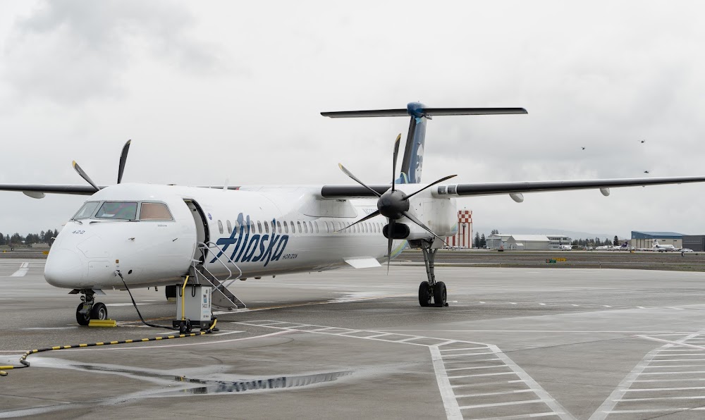
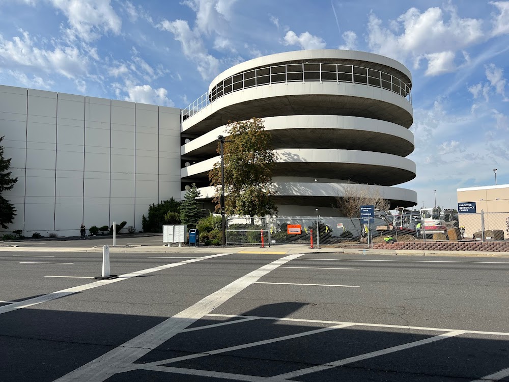
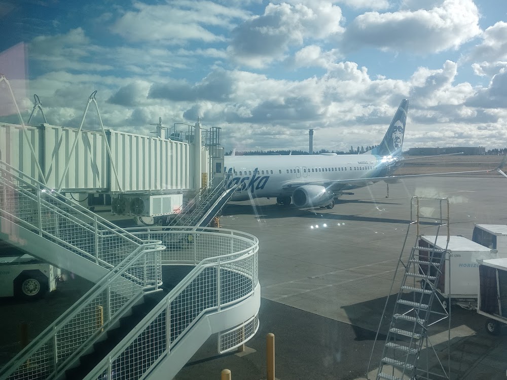
- Airport photos
- Crew car availability
Location:
Spokane, WA
Elevation:
2,385ft
Sectional:
Seattle
Activation date:
Aug 1943
Fuel:
100, 100LL, A (prices)
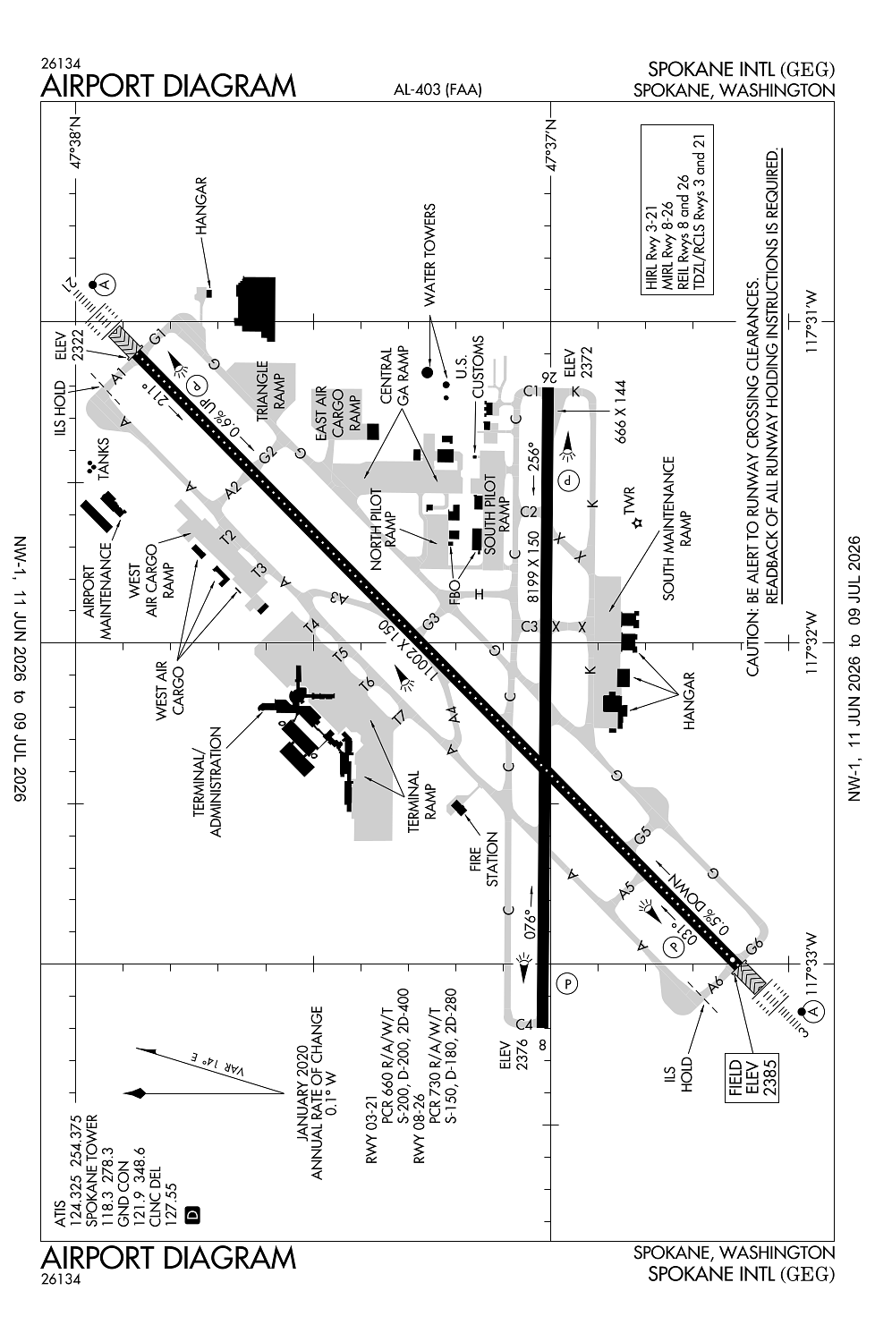
Runway 03/21:
11,002ft
Runway 08/26:
8,199ft
Access: Open to the public
Current Weather — VFR
-
Weather data is strictly informational and not for flight planning purposes.
-
METAR2026-07-20 14:53:00 PDT
Ceiling: 19,000ft Wind: 040° @ 6kt Temperature: 82°F Dewpoint: 46°F Weather: Smoke, haze Visbility: 6SM Clouds: Scattered @ 17,000ft, Overcast @ 19,000ft Raw:METAR KGEG 202153Z 04006KT 6SM FU HZ SCT170 OVC190 28/08 A3007 RMK AO2 SLP166 T02830078 -
TAF2026-07-20 11:00:00 PDT – 2026-07-20 23:00:00 PDT
Ceiling: 20,000ft Wind: 060° @ 5kt Weather: Haze, smoke Visbility: 6SM Clouds: Broken @ 20,000ft Raw:TAF KGEG 201737Z 2018/2118 06005KT 6SM HZ FU BKN200 FM210600 VRB03KT 6SM HZ OVC160 FM211100 00000KT 6SM HZ FU BKN150 -
TAF2026-07-20 23:00:00 PDT – 2026-07-21 04:00:00 PDT
Ceiling: 16,000ft Wind: Variable Weather: Haze Visbility: 6SM Clouds: Overcast @ 16,000ft Raw:TAF KGEG 201737Z 2018/2118 06005KT 6SM HZ FU BKN200 FM210600 VRB03KT 6SM HZ OVC160 FM211100 00000KT 6SM HZ FU BKN150 -
TAF2026-07-21 04:00:00 PDT – 2026-07-21 11:00:00 PDT
Ceiling: 15,000ft Wind: Calm Weather: Haze, smoke Visbility: 6SM Clouds: Broken @ 15,000ft Raw:TAF KGEG 201737Z 2018/2118 06005KT 6SM HZ FU BKN200 FM210600 VRB03KT 6SM HZ OVC160 FM211100 00000KT 6SM HZ FU BKN150
Click/tap to add an annotation marker to the map
No webcams added yet.
Remarks
- Estabd prior 1959
- Be alert to turbulence over smoke stacks 1 mile east of arpt.
- Waterfowl & birds on & invof arpt.
- Twy k unlgtd on ramp side along maintenance ramp and is unavbl below 1200 rvr unless under escort by "follow me".
- Portions of twy k not visible fm atct.
Comments