Pirep is a free, collaborative database of all public and private airports. All pilots are welcome to contribute their local knowledge to any airport, no registration required.
No upcoming events. Is anything happening here soon?
Last updated: 2023-10-01 00:50:15 EDT
Airport Statistics
- Fuel pump location
- WiFi availability
- Local flying clubs
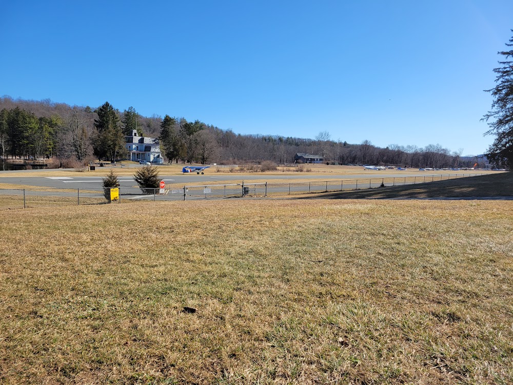
Location:
Jefferson, NC
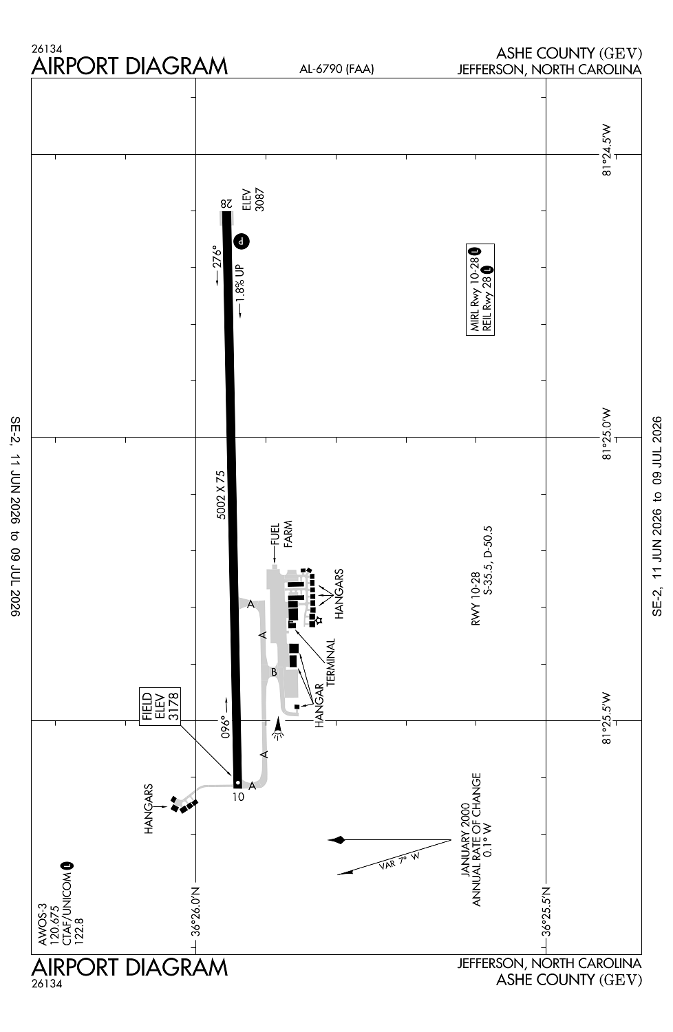
Elevation:
3,177ft
Sectional:
Cincinnati
Activation date:
Aug 1977
Fuel:
100LL, A1+ (prices)
Runway 10/28:
5,002ft
Access: Open to the public
Similar Airports

Current Weather — VFR
-
Weather data is strictly informational and not for flight planning purposes.
-
METAR2026-07-20 14:15:00 EDT
Ceiling: 4,000ft Wind: 150° @ 5kt Temperature: 80°F Dewpoint: 70°F Weather: N/A Visbility: 10SM Clouds: Scattered @ 2,300ft, Scattered @ 3,200ft, Broken @ 4,000ft Raw:METAR KGEV 201815Z AUTO 15005KT 10SM SCT023 SCT032 BKN040 27/21 A3008 RMK AO2 LTG DSNT SE T02670214
Click/tap to add an annotation marker to the map
No webcams added yet.
Remarks
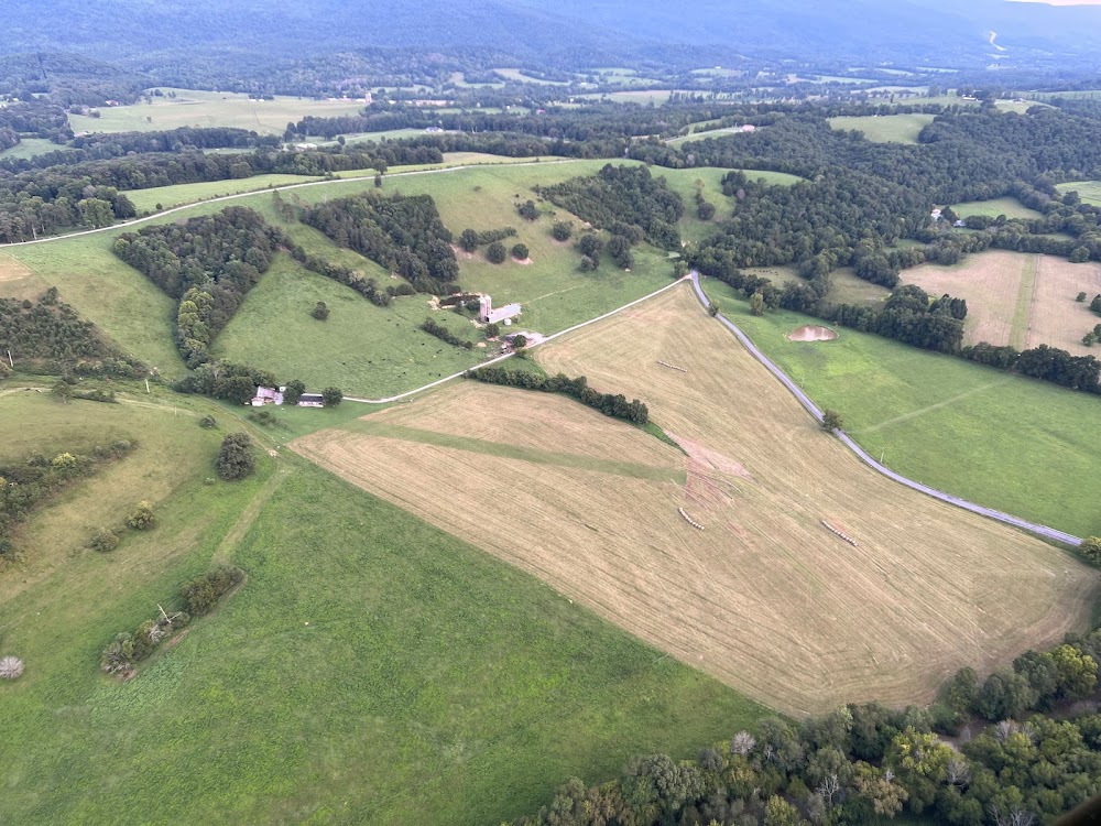
- Rising trrn all quads.
- Deer invof arpt.
- Rwys 10 & 28 safety areas have 100 ft drop-offs 270 ft fm thr.
- Rwy 28 has an uphill grade.
- Ocnl crops and farming eqpt adj to rwy.
Comments