Pirep is a free, collaborative database of all public and private airports. All pilots are welcome to contribute their local knowledge to any airport, no registration required.


Public
METAR / TAF
Edit Tags
No upcoming events. Is anything happening here soon?
Last updated: 2023-04-14 17:42:15 CDT
Airport Statistics
- Airport map annotations
- WiFi availability
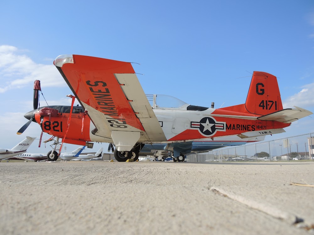
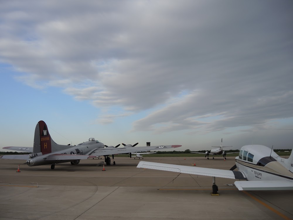
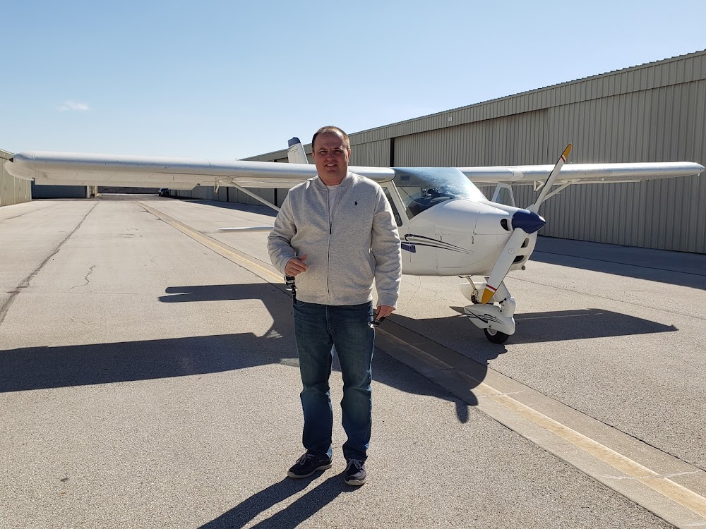
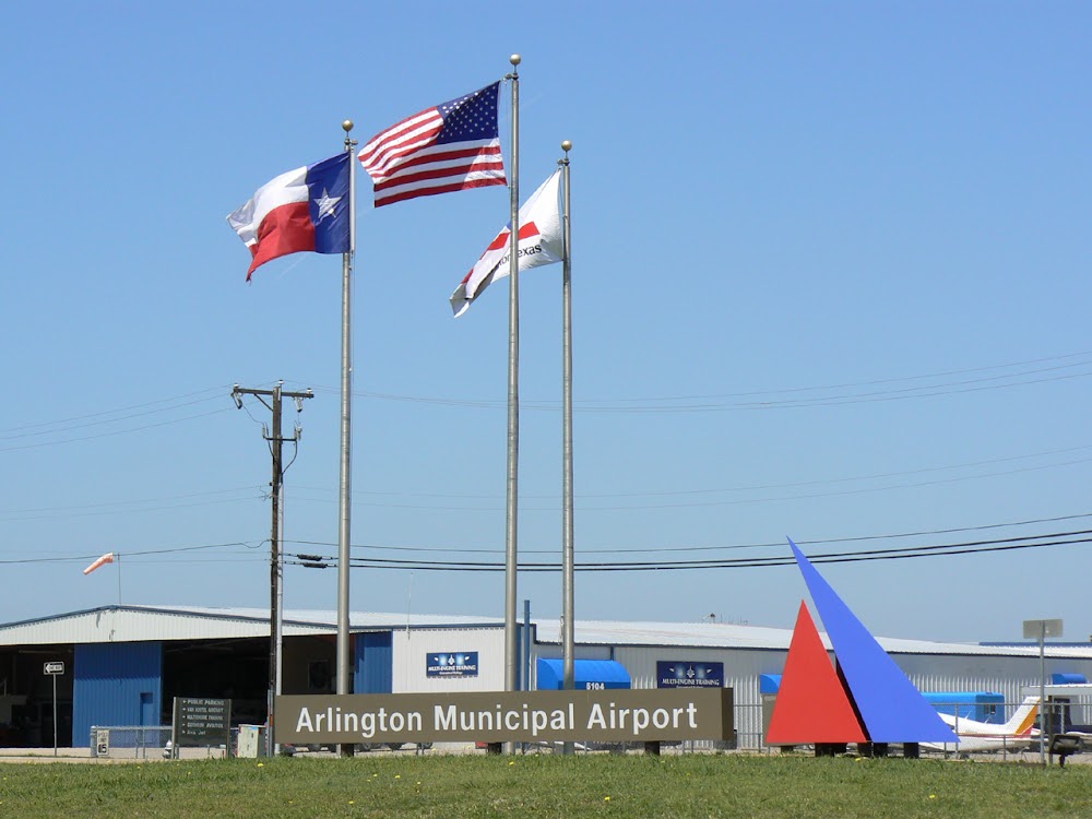
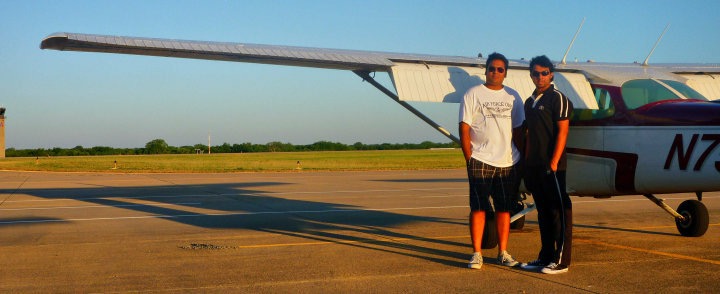
- Airport photos
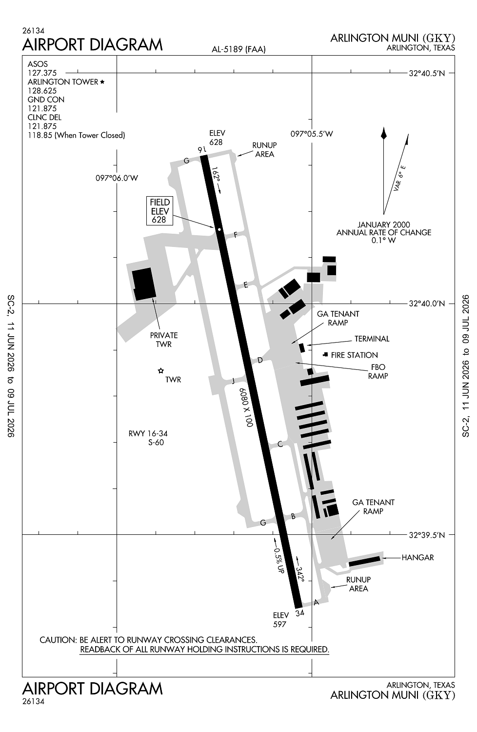
Location:
Arlington, TX
Elevation:
628ft
Sectional:
Dallas Ft Worth
Activation date:
May 1971
Fuel:
100LL, A, A+ (prices)
Runway 16/34:
6,080ft
Access: Open to the public
Current Weather — MVFR
-
Weather data is strictly informational and not for flight planning purposes.
-
METAR2026-07-16 06:53:00 CDT
Ceiling: 1,600ft Wind: 090° @ 4kt Temperature: 75°F Dewpoint: 71°F Weather: N/A Visbility: 10SM Clouds: Overcast @ 1,600ft Raw:METAR KGKY 161153Z 09004KT 10SM OVC016 24/22 A3010 RMK AO2 SLP182 70046 T02440222 10244 20239 53008 -
TAF2026-07-16 07:00:00 CDT – 2026-07-16 10:00:00 CDT
Ceiling: 10,000ft Wind: 150° @ 7kt Weather: N/A Visbility: 6SM Clouds: Few @ 2,500ft, Broken @ 10,000ft Raw:TAF KGKY 161120Z 1612/1712 15007KT P6SM FEW025 BKN100 TEMPO 1612/1615 BKN022 FM161500 17011KT P6SM -SHRA VCTS SCT030CB BKN110 FM161800 18011KT P6SM VCSH SCT035 BKN120 FM162200 18010KT P6SM -SHRA VCTS SCT040CB BKN250 FM170100 16010KT P6SM FEW100 BKN250 -
TAF2026-07-16 07:00:00 CDT – 2026-07-16 10:00:00 CDT
Ceiling: 2,200ft Wind: 000° @ kt Weather: N/A Visbility: SM Clouds: Broken @ 2,200ft Raw:TAF KGKY 161120Z 1612/1712 15007KT P6SM FEW025 BKN100 TEMPO 1612/1615 BKN022 FM161500 17011KT P6SM -SHRA VCTS SCT030CB BKN110 FM161800 18011KT P6SM VCSH SCT035 BKN120 FM162200 18010KT P6SM -SHRA VCTS SCT040CB BKN250 FM170100 16010KT P6SM FEW100 BKN250 -
TAF2026-07-16 10:00:00 CDT – 2026-07-16 13:00:00 CDT
Ceiling: 11,000ft Wind: 170° @ 11kt Weather: Light rain showers, thunderstorm in vicinity Visbility: 6SM Clouds: Scattered @ 3,000ft, Broken @ 11,000ft Raw:TAF KGKY 161120Z 1612/1712 15007KT P6SM FEW025 BKN100 TEMPO 1612/1615 BKN022 FM161500 17011KT P6SM -SHRA VCTS SCT030CB BKN110 FM161800 18011KT P6SM VCSH SCT035 BKN120 FM162200 18010KT P6SM -SHRA VCTS SCT040CB BKN250 FM170100 16010KT P6SM FEW100 BKN250 -
TAF2026-07-16 13:00:00 CDT – 2026-07-16 17:00:00 CDT
Ceiling: 12,000ft Wind: 180° @ 11kt Weather: Showers in vicinity Visbility: 6SM Clouds: Scattered @ 3,500ft, Broken @ 12,000ft Raw:TAF KGKY 161120Z 1612/1712 15007KT P6SM FEW025 BKN100 TEMPO 1612/1615 BKN022 FM161500 17011KT P6SM -SHRA VCTS SCT030CB BKN110 FM161800 18011KT P6SM VCSH SCT035 BKN120 FM162200 18010KT P6SM -SHRA VCTS SCT040CB BKN250 FM170100 16010KT P6SM FEW100 BKN250 -
TAF2026-07-16 17:00:00 CDT – 2026-07-16 20:00:00 CDT
Ceiling: 25,000ft Wind: 180° @ 10kt Weather: Light rain showers, thunderstorm in vicinity Visbility: 6SM Clouds: Scattered @ 4,000ft, Broken @ 25,000ft Raw:TAF KGKY 161120Z 1612/1712 15007KT P6SM FEW025 BKN100 TEMPO 1612/1615 BKN022 FM161500 17011KT P6SM -SHRA VCTS SCT030CB BKN110 FM161800 18011KT P6SM VCSH SCT035 BKN120 FM162200 18010KT P6SM -SHRA VCTS SCT040CB BKN250 FM170100 16010KT P6SM FEW100 BKN250 -
TAF2026-07-16 20:00:00 CDT – 2026-07-17 07:00:00 CDT
Ceiling: 25,000ft Wind: 160° @ 10kt Weather: N/A Visbility: 6SM Clouds: Few @ 10,000ft, Broken @ 25,000ft Raw:TAF KGKY 161120Z 1612/1712 15007KT P6SM FEW025 BKN100 TEMPO 1612/1615 BKN022 FM161500 17011KT P6SM -SHRA VCTS SCT030CB BKN110 FM161800 18011KT P6SM VCSH SCT035 BKN120 FM162200 18010KT P6SM -SHRA VCTS SCT040CB BKN250 FM170100 16010KT P6SM FEW100 BKN250
Click/tap to add an annotation marker to the map
No webcams added yet.
Remarks
- This airport has been surveyed by the national geodetic survey.
- Extsv hel tfc west of rwy.
- Hel test fac at arpt, 1975 opns 15200, mostly fm pvt helipad adjoining lndg area.
- Mirl rwy 16/34 preset med intst; higher intst by atct req. when atct clsd actvt malsr rwy 34 - ctaf.
- Suite 100
Comments