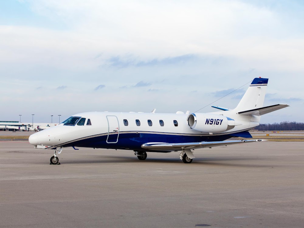
Pirep is a free, collaborative database of all public and private airports. All pilots are welcome to contribute their local knowledge to any airport, no registration required.

Public
Undocumented
METAR / TAF
Edit Tags
No upcoming events. Is anything happening here soon?
Airport Statistics
- Crew car availability
- WiFi availability
- Tags
Location:
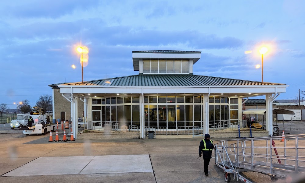
Greenville, MS
Elevation:
130ft
Sectional:
Memphis
Activation date:
Jun 1942
Fuel:
100LL, A (prices)
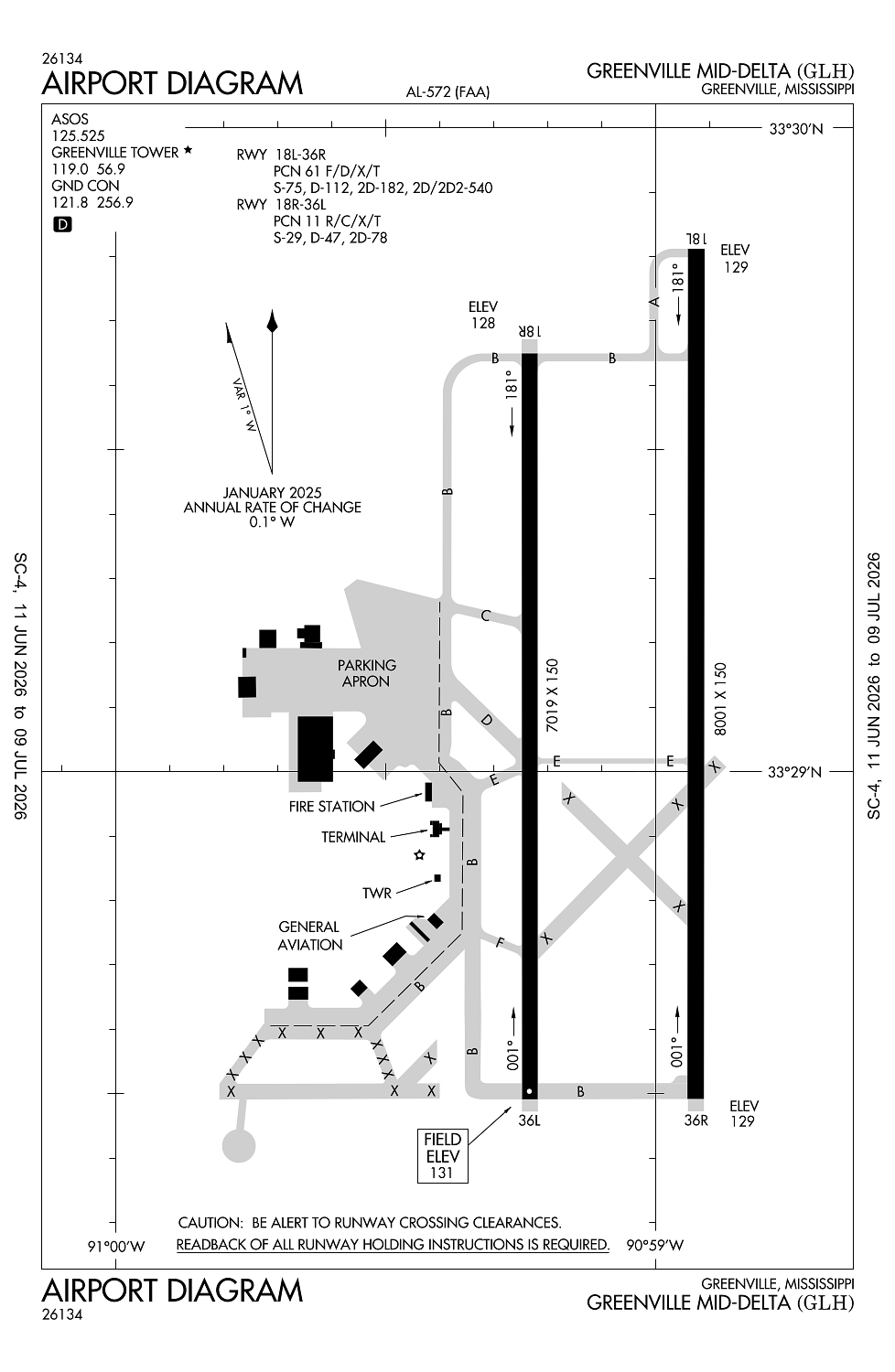
Runway 18L/36R:
8,001ft
Runway 18R/36L:
7,019ft
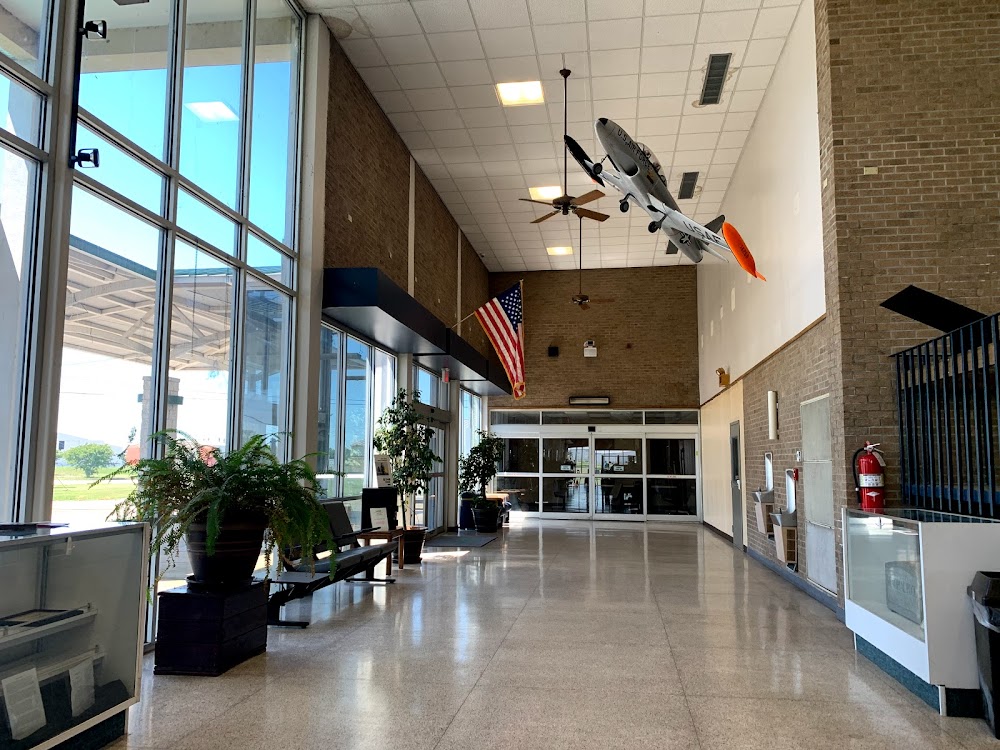
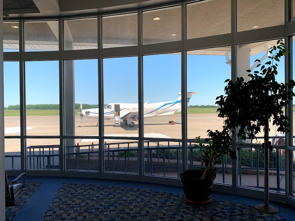
Access: Open to the public
Current Weather — VFR
-
Weather data is strictly informational and not for flight planning purposes.
-
METAR2026-07-15 20:53:00 CDT
Ceiling: 12,000ft Wind: 240° @ 5kt Temperature: 78°F Dewpoint: 69°F Weather: N/A Visbility: 10SM Clouds: Scattered @ 6,500ft, Broken @ 12,000ft Raw:METAR KGLH 160153Z AUTO 24005KT 10SM SCT065 BKN120 26/21 A3006 RMK AO2 SLP182 T02610206 -
TAF2026-07-15 19:00:00 CDT – 2026-07-16 19:00:00 CDT
Ceiling: Sky clear Wind: 250° @ 8kt Weather: N/A Visbility: 6SM Clouds: Scattered @ 4,000ft, Scattered @ 10,000ft Raw:TAF KGLH 152343Z 1600/1624 25008KT P6SM SCT040 SCT100 TEMPO 1601/1602 2SM -TSRA BKN040CB -
TAF2026-07-15 20:00:00 CDT – 2026-07-15 21:00:00 CDT
Ceiling: 4,000ft Wind: 000° @ kt Weather: Light thunderstorm rain Visbility: 2SM Clouds: Broken @ 4,000ft Raw:TAF KGLH 152343Z 1600/1624 25008KT P6SM SCT040 SCT100 TEMPO 1601/1602 2SM -TSRA BKN040CB
Click/tap to add an annotation marker to the map
No webcams added yet.
Remarks
- This airport has been surveyed by the national geodetic survey.
- Twys c & d are clsd, twy f not avbl for acr use.
- For cd when atct clsd, ctc memphis artcc at 901-368-8453/8449.
- Clsd to sked acr ops with more than 9 pax seats & unsked acr ops with more than 30 pax seats.
- Sgfnt bird act invof rwys.
Comments