Pirep is a free, collaborative database of all public and private airports. All pilots are welcome to contribute their local knowledge to any airport, no registration required.

No upcoming events. Is anything happening here soon?
Airport Statistics
- Landing & tie-down fees
- Local flying clubs
- Fuel pump location
Location:
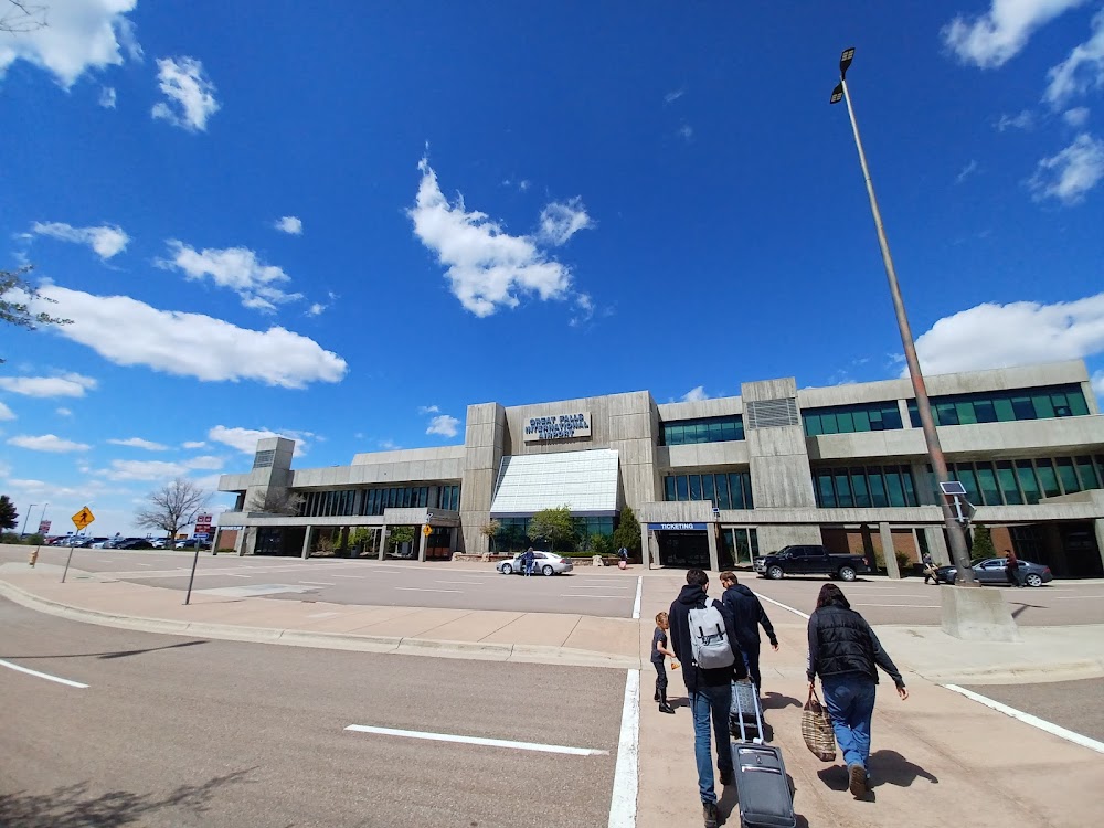
Great Falls, MT
Elevation:
3,680ft
Sectional:
Great Falls
Activation date:
Apr 1940
Fuel:
100LL, A (prices)
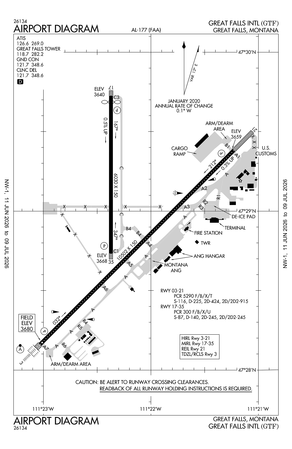
Runway 03/21:
10,502ft
Runway 17/35:
6,030ft
Access: Open to the public
Similar Airports

Current Weather — VFR
-
Weather data is strictly informational and not for flight planning purposes.
-
METAR2026-07-18 15:53:00 MDT
Ceiling: Sky clear Wind: 190° @ 8kt Temperature: 91°F Dewpoint: 53°F Weather: N/A Visbility: 10SM Raw:METAR KGTF 182153Z 19008KT 10SM CLR 33/12 A2999 RMK AO2 SLP115 T03330122 $ -
TAF2026-07-18 12:00:00 MDT – 2026-07-18 22:00:00 MDT
Ceiling: Sky clear Wind: Variable Weather: N/A Visbility: 6SM Clouds: Few @ 10,000ft Raw:TAF KGTF 181720Z 1818/1918 VRB06KT P6SM FEW100 PROB30 1900/1904 VRB20G35KT 6SM -TSRA OVC080CB FM190400 21011KT P6SM FEW200 -
TAF2026-07-18 18:00:00 MDT – 2026-07-18 22:00:00 MDT
Ceiling: 8,000ft Wind: Variable, gusts 35kt Weather: Light thunderstorm rain Visbility: 6SM Clouds: Overcast @ 8,000ft Raw:TAF KGTF 181720Z 1818/1918 VRB06KT P6SM FEW100 PROB30 1900/1904 VRB20G35KT 6SM -TSRA OVC080CB FM190400 21011KT P6SM FEW200 -
TAF2026-07-18 22:00:00 MDT – 2026-07-19 12:00:00 MDT
Ceiling: Sky clear Wind: 210° @ 11kt Weather: N/A Visbility: 6SM Clouds: Few @ 20,000ft Raw:TAF KGTF 181720Z 1818/1918 VRB06KT P6SM FEW100 PROB30 1900/1904 VRB20G35KT 6SM -TSRA OVC080CB FM190400 21011KT P6SM FEW200
Click/tap to add an annotation marker to the map
Remarks
- Index level c arff capability is avbl at all times.
- Military: ang: opr 1400-2330z++ mon-thu, ltd fri, closed sat-sun and hol. base ops dsn 791-0192, c406-791-0192. no tran svc sat, sun, hol or after 2300z++ mon-fri. acft rqr assistance ctc 288.9. rcr info avbl fr base ops.
- Military: ang: ltd tran svc only avbl for acft participating in ang ops with prior coordination (ppr).
- Birds on and invof arpt.
- Military: ang: usaf bash - exp increased migratory waterfowl act (phase ii) mar-may and sep-dec, sr-.5 to ss+.5.
Comments