Pirep is a free, collaborative database of all public and private airports. All pilots are welcome to contribute their local knowledge to any airport, no registration required.
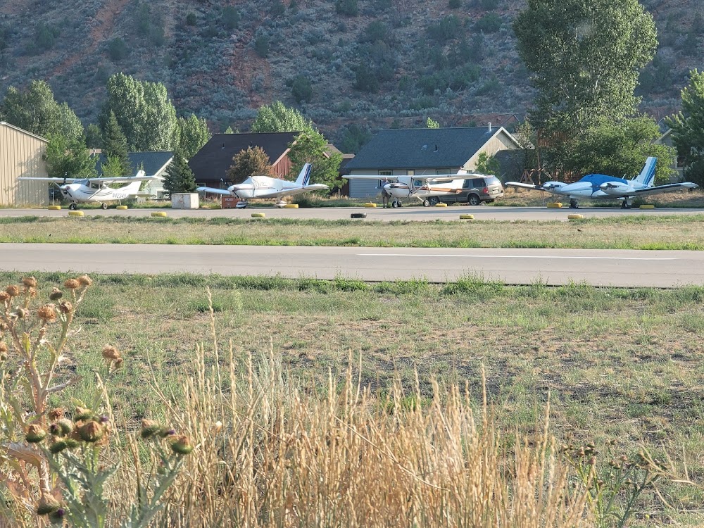
Attribution:
Le Leedler
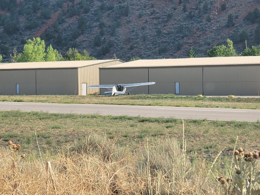
Attribution:
Le Leedler
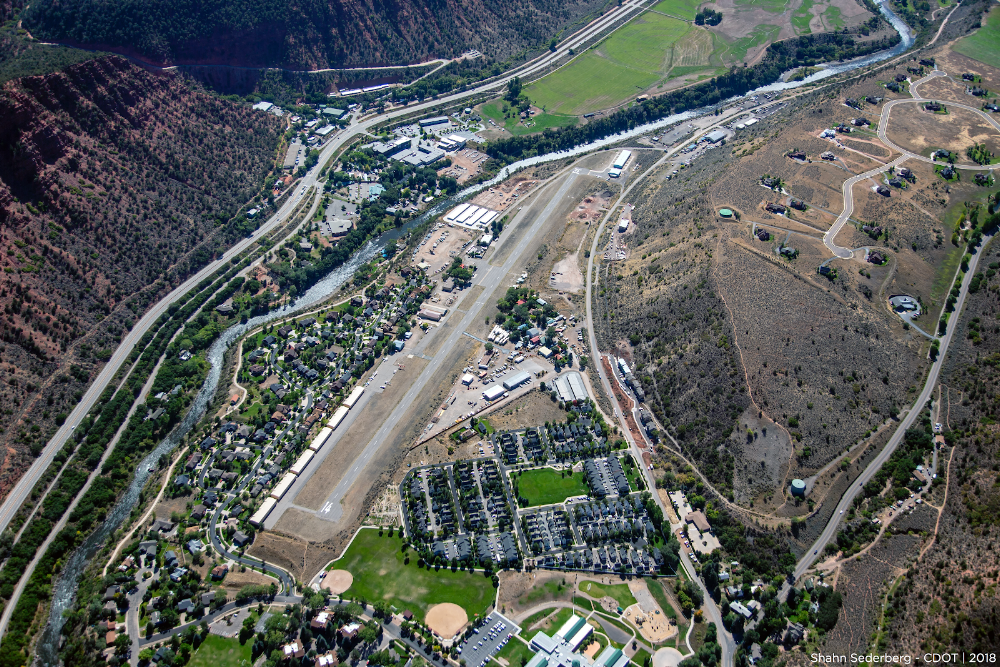
Attribution:
Shahn Sederberg - CDOT
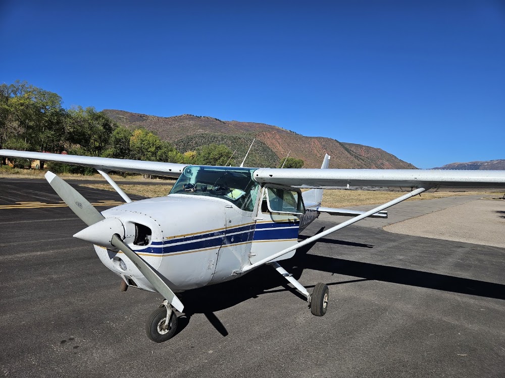
Attribution:
Asa Graf
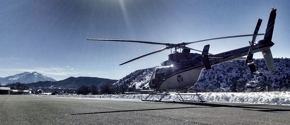
Attribution:
Flight Medic76
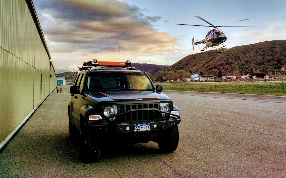
Attribution:
Flight Medic76
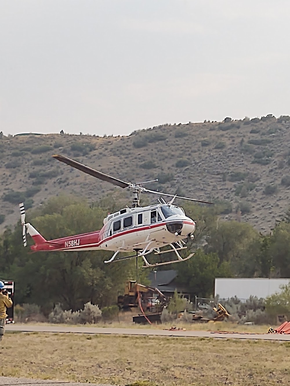
Attribution:
Shawn Hoem
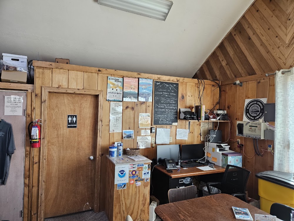
Attribution:
Asa Graf
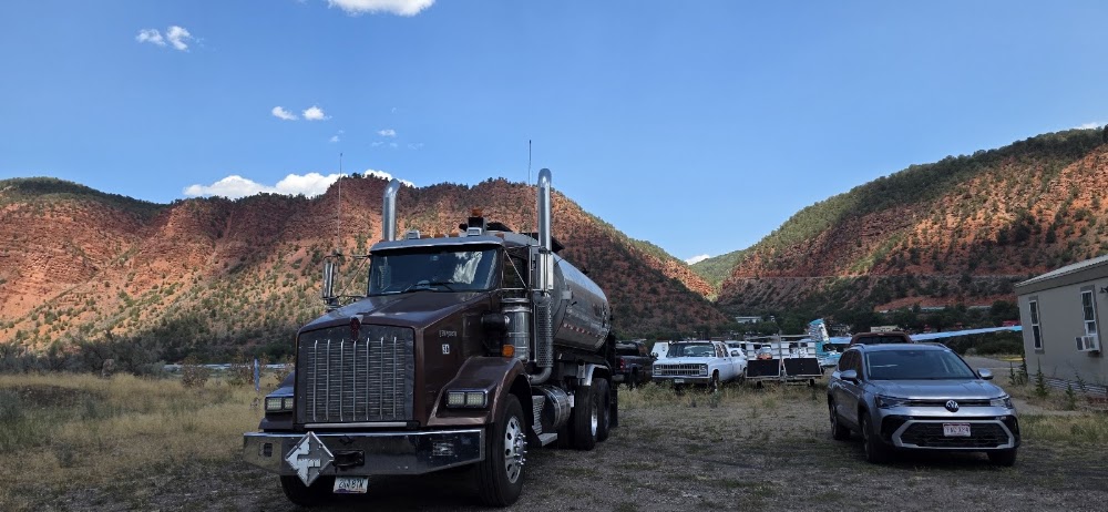
Attribution:
Darin Lesmeister
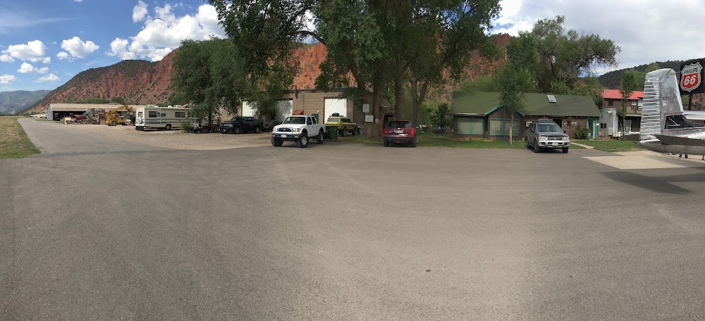
Attribution:
Colby Reese
Public
Undocumented
Edit Tags
No upcoming events. Is anything happening here soon?
Airport Statistics
- Airport map annotations
- Local flying clubs
- Tags
Location:
Glenwood Springs, CO
Elevation:
5,921ft
Sectional:
Denver
Activation date:
Oct 1944
Fuel:
100LL, A
Runway 15/33:
3,309ft
Runway 14/32:
3,305ft
Access: Open to the public
Click/tap to add an annotation marker to the map
No webcams added yet.
Remarks
- Estab prior to 1959.
- 2000 ft mtns surround arpt.
- Gusty winds frequently invof arpt.
- Noise abatement: when wind & wx permit use rwy 33 for arr and rwy 15 for dep.
- Ry 32 has 20 ft hgrs & 30 ft antenna 200 ft left of cntrln at thld.
- No touch and go landings.
- Wildlife on & invof arpt.
- Numerous 25 ft bldgs; trees; equipment; tiedowns aprxly 150 ft fm cntrln - both sides of ry full length.
Comments