Pirep is a free, collaborative database of all public and private airports. All pilots are welcome to contribute their local knowledge to any airport, no registration required.

Undocumented
METAR / TAF
Edit Tags
No upcoming events. Is anything happening here soon?
Airport Statistics
- Local flying clubs
- Fuel pump location
- Tags
Location:
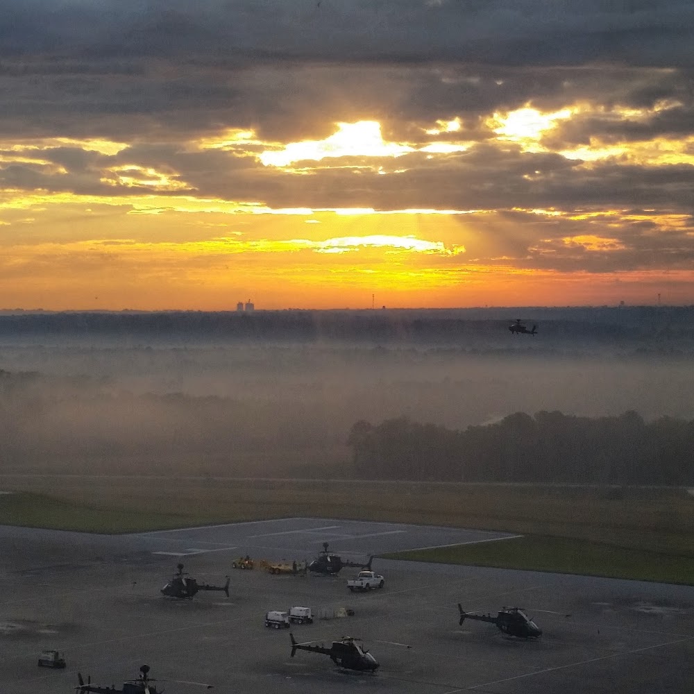
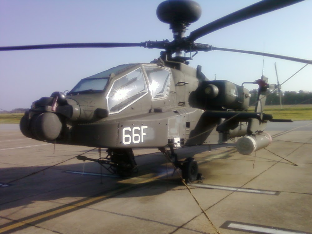
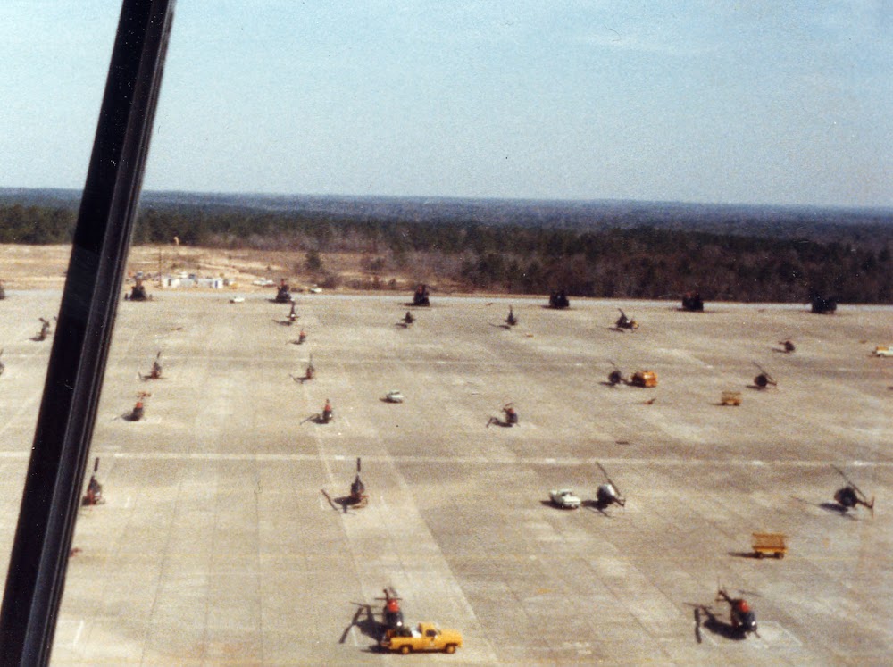
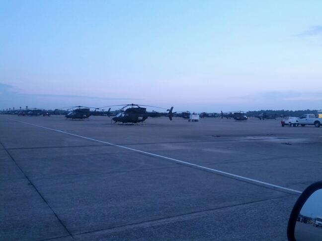
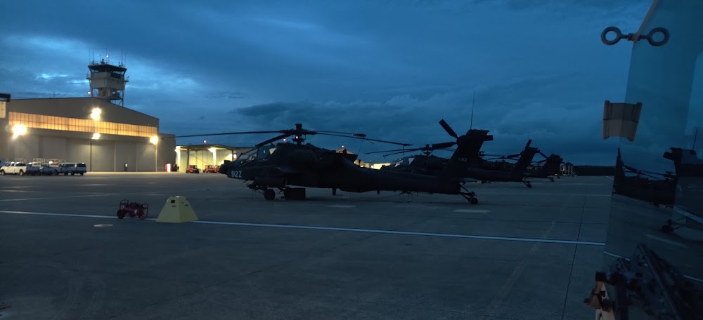
Fort Rucker, AL
Elevation:
317ft
Sectional:
New Orleans
Fuel:
None
Runway 17/35:
476ft
Access: Private to everyone
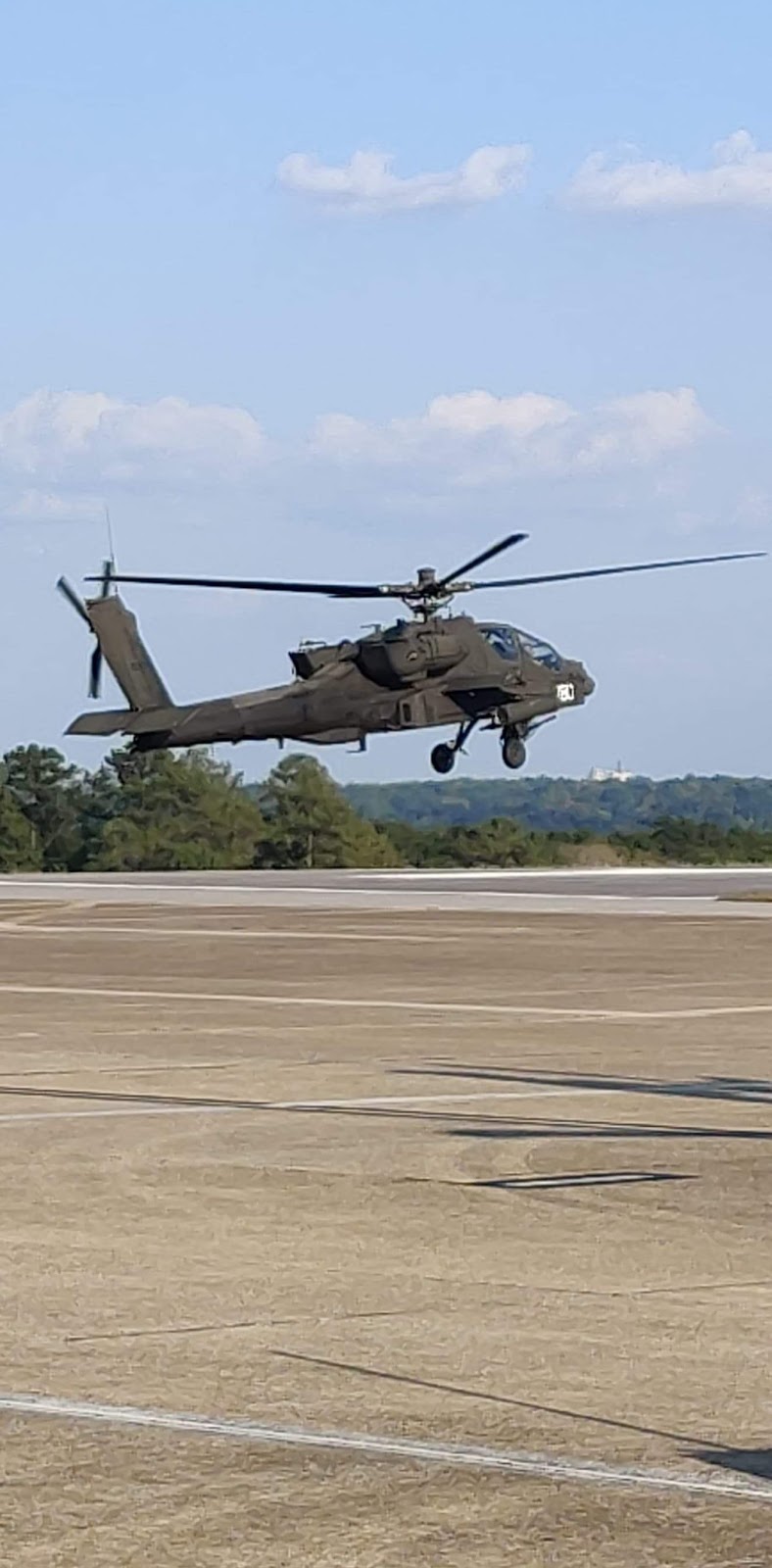
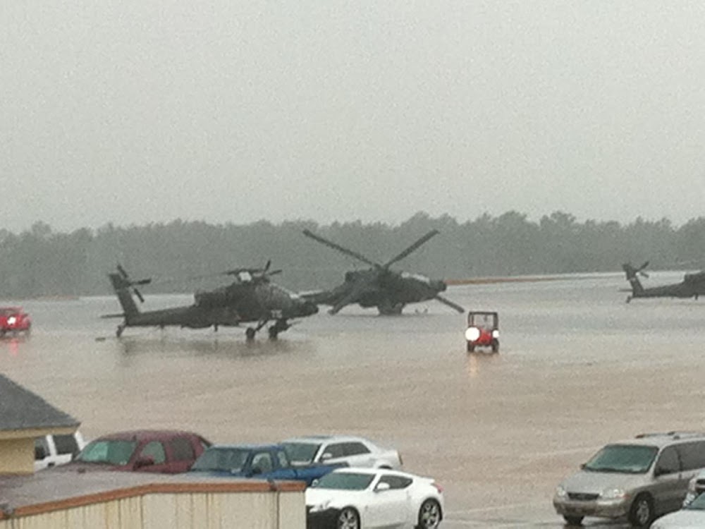
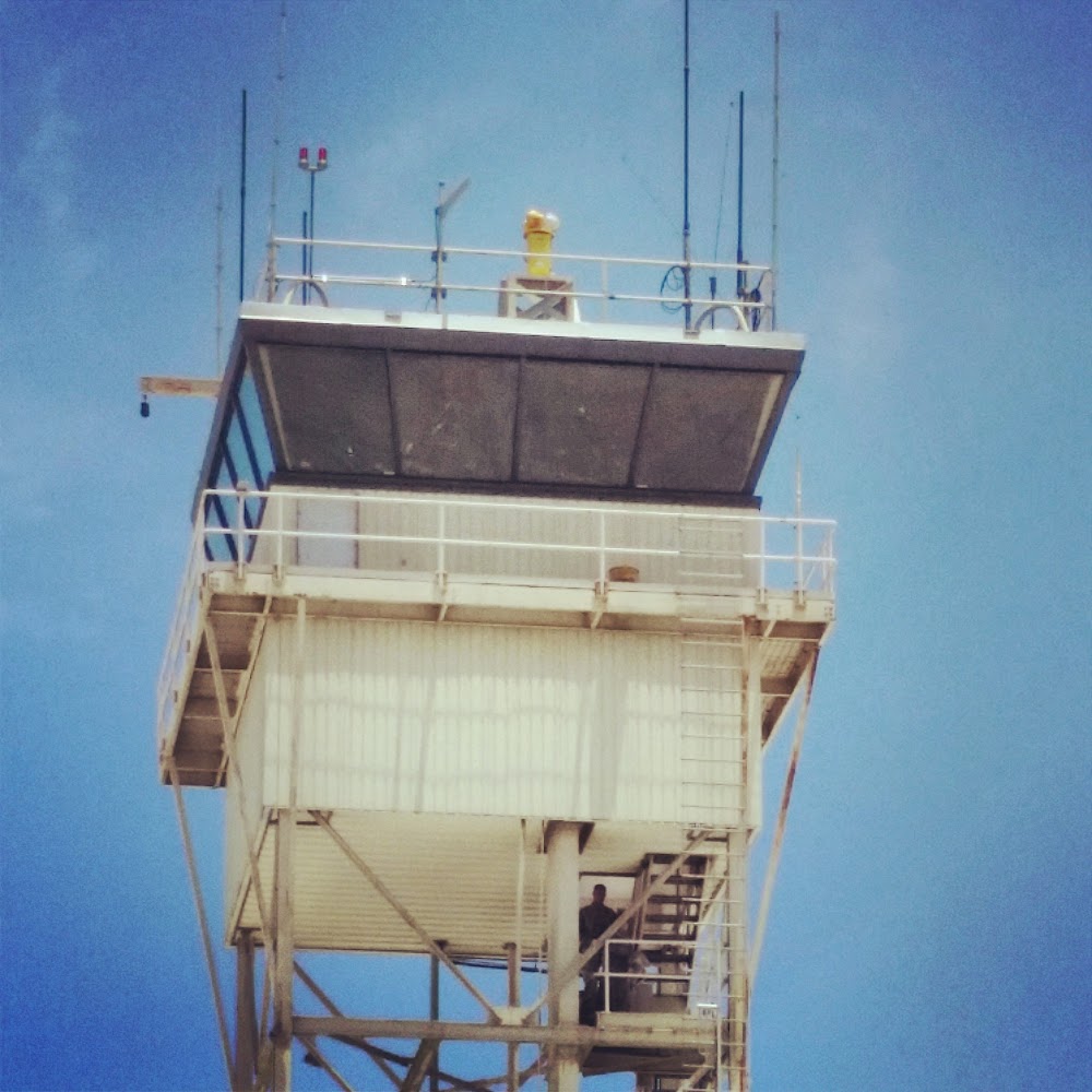
This is a military facility.
Current Weather — VFR
-
Weather data is strictly informational and not for flight planning purposes.
-
METAR2026-07-20 15:55:00 CDT
Ceiling: 8,000ft Wind: 090° @ 8kt Temperature: 78°F Dewpoint: 75°F Weather: N/A Visbility: 9SM Clouds: Broken @ 8,000ft, Broken @ 9,000ft Raw:METAR KHEY 202055Z AUTO 09008KT 9SM BKN080 BKN090 26/24 A2988 RMK AO2 RAE22RAB24E30RAB32E42 TSB1955E22 SLP117 P0005 60031 T02570241 55001 $
Click/tap to add an annotation marker to the map
No webcams added yet.
Remarks
- Alternate name: fort rucker
- Fuel: 100, j8
- Lgt: hi ints rot bcn, 60/80 white flashes per min.
- Opr 1130-0545z++or until mission complete, mon-fri exc hol, ot ctc cairns twr. see flip ap/1, flt haz, fort rucker.
- Rstd: no tran acft.
- Caution: ints stu trng.
- Tfc pat alt 900' msl.
- Helicopter rwy
Comments