Pirep is a free, collaborative database of all public and private airports. All pilots are welcome to contribute their local knowledge to any airport, no registration required.


Public
Undocumented
METAR / TAF
Edit Tags
No upcoming events. Is anything happening here soon?
Airport Statistics
- Fuel pump location
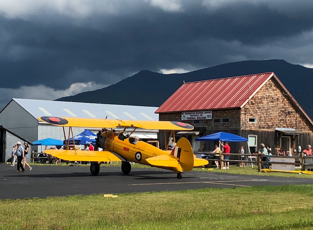
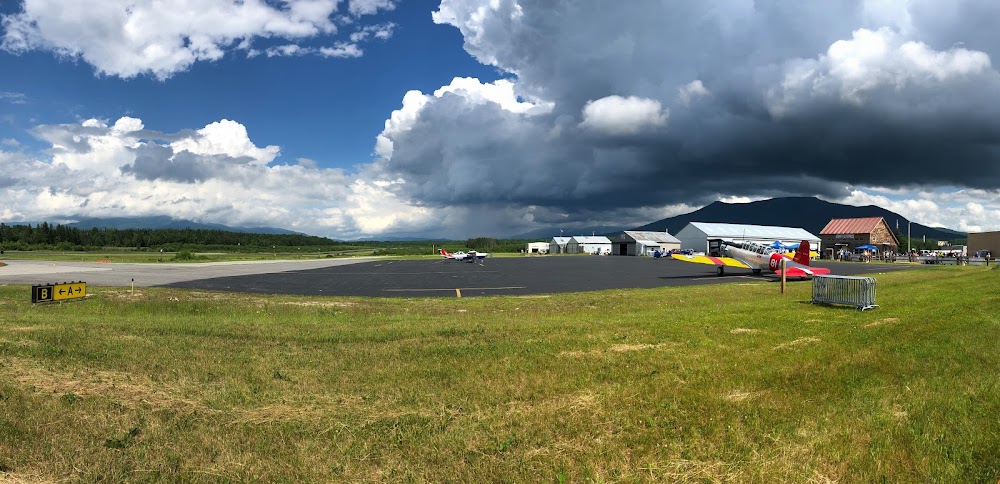
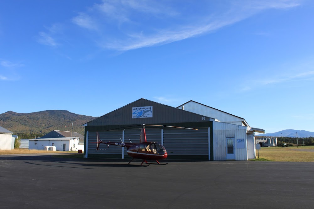
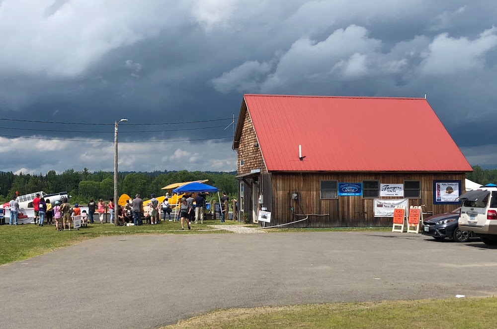
- Airport photos
- Airport map annotations
Location:
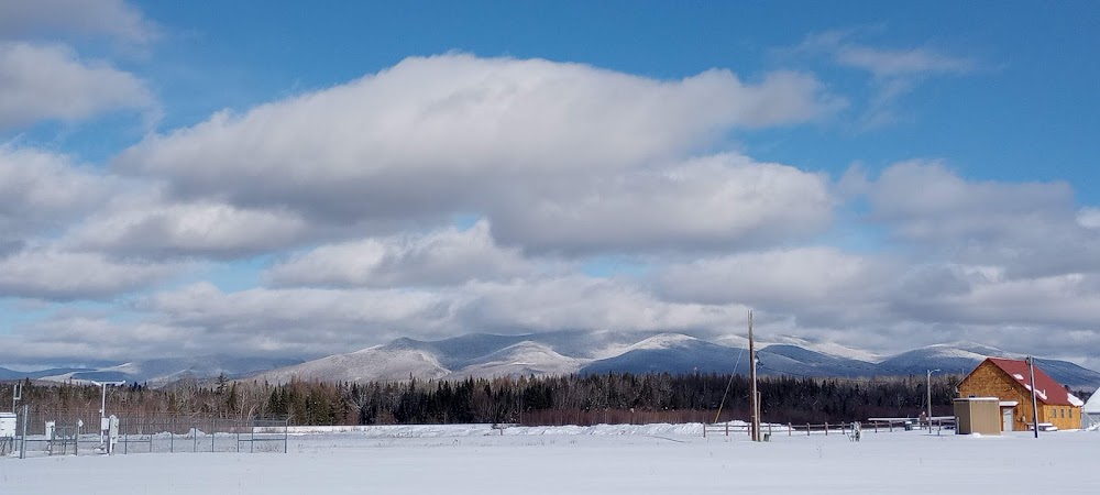
Whitefield, NH
Elevation:
1,072ft
Sectional:
Montreal
Activation date:
Aug 1946
Fuel:
100LL (prices)
Runway 10/28:
4,001ft
Access: Open to the public
Click/tap to add an annotation marker to the map
No webcams added yet.
Remarks
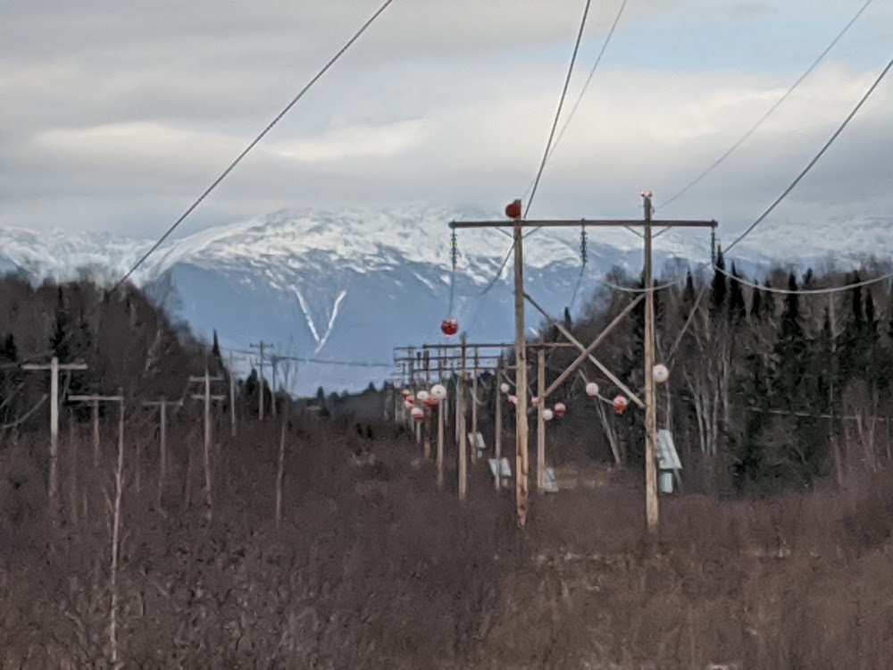
- Rwy 28 trans line acrs apch 20:1+, mkd with day-glow balls.
- Wildlife on & invof arpt.
- Cold temperature airport. altitude correction required at or below -28c.
- Rental car avbl by req, www.mountwashingtonairport.com.
- For cd if una to ctc on fss freq, ctc boston artcc at 603-879-6859.
- Arpt conds not rglrly mnt.
- Rising trrn lctd 3 nm se of arpt.
- Actvt reil rwys 10 & 28; papi rwy 10; mirl rwy 10/28 - ctaf.
Comments