Pirep is a free, collaborative database of all public and private airports. All pilots are welcome to contribute their local knowledge to any airport, no registration required.
Public
METAR / TAF
Edit Tags
No upcoming events. Is anything happening here soon?
Last updated: 2023-03-07 10:34:57 PST
Last updated: 2023-03-07 10:33:35 PST
Last updated: 2023-03-07 10:33:49 PST
Airport Statistics
- Crew car availability
- Webcam links
- WiFi availability
Location:
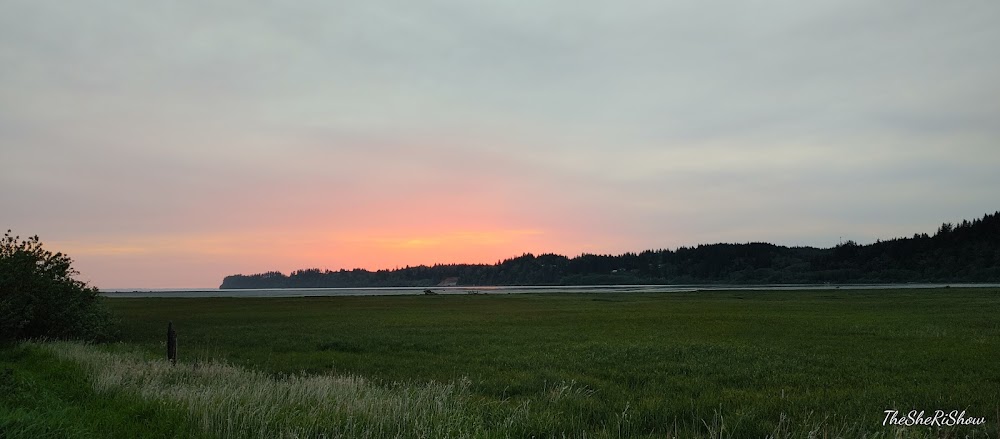
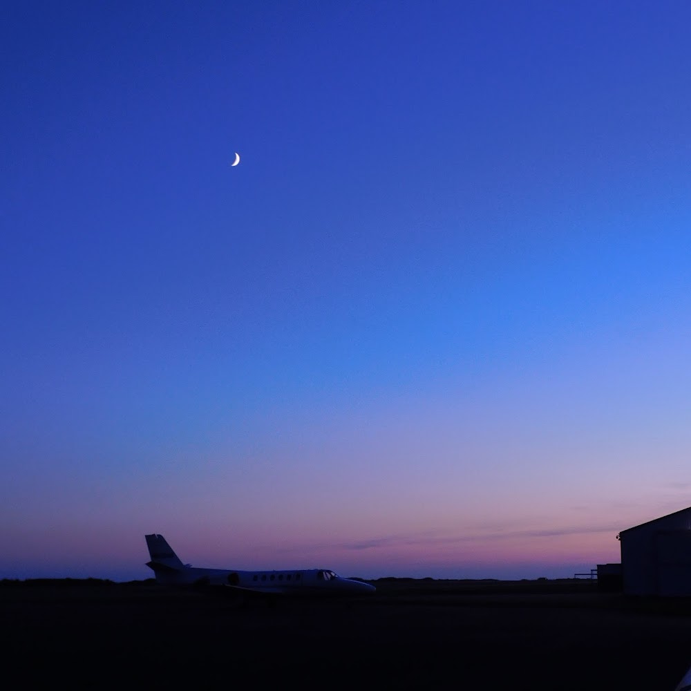
Hoquiam, WA
Elevation:
17ft
Sectional:
Seattle
Activation date:
Apr 1944
Fuel:
100LL, A (prices)
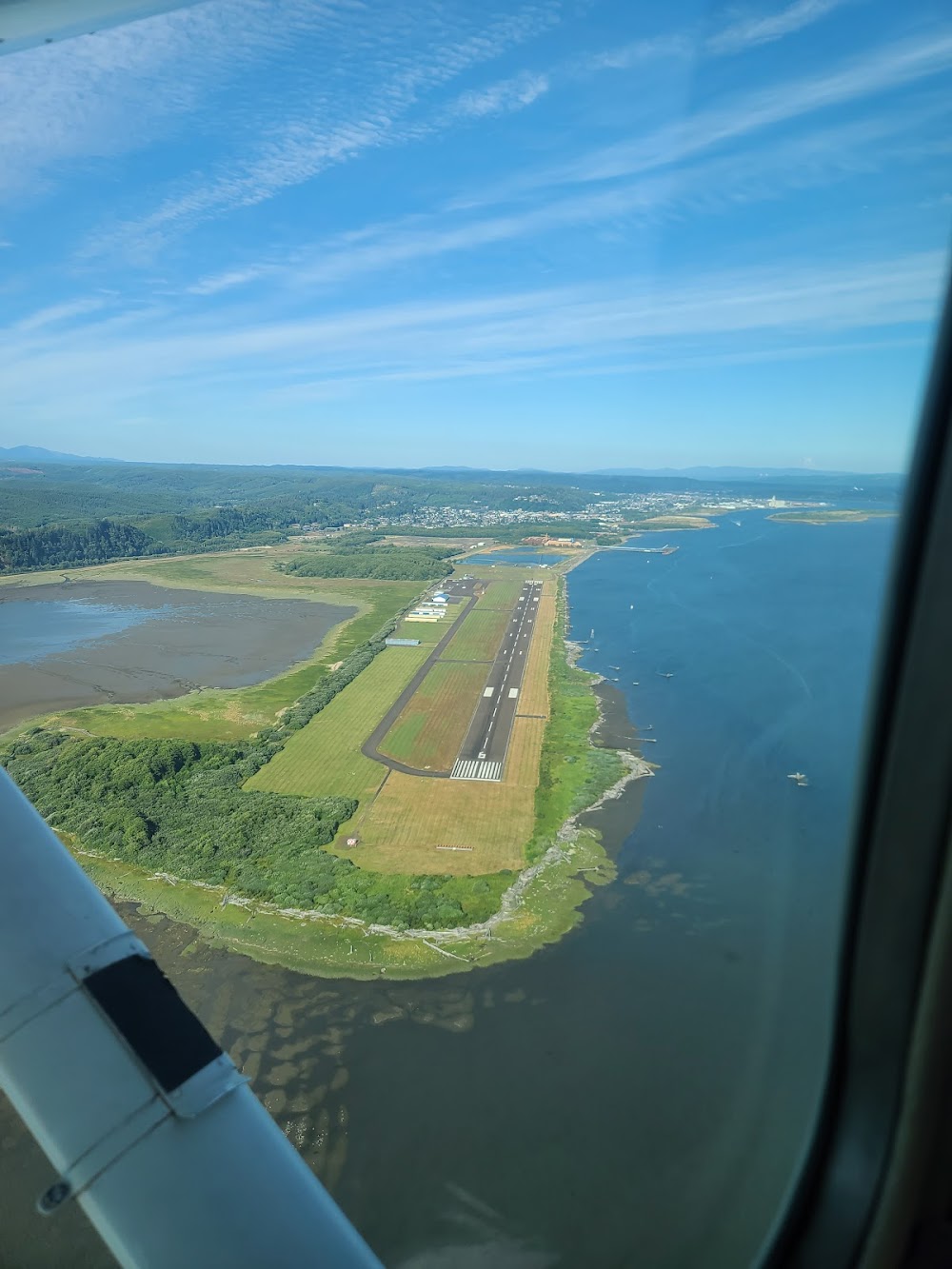
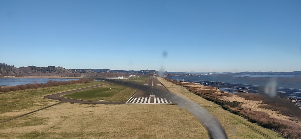
Runway 06/24:
5,000ft
Access: Open to the public
Current Weather — MVFR
-
Weather data is strictly informational and not for flight planning purposes.
-
METAR2026-07-16 08:53:00 PDT
Ceiling: 1,500ft Wind: 250° @ 8kt Temperature: 57°F Dewpoint: 51°F Weather: N/A Visbility: 10SM Clouds: Overcast @ 1,500ft Raw:METAR KHQM 161553Z AUTO 25008KT 10SM OVC015 14/11 A3003 RMK AO2 LTG DSNT SW SLP171 T01390111 -
TAF2026-07-16 08:00:00 PDT – 2026-07-16 09:00:00 PDT
Ceiling: 1,500ft Wind: 260° @ 5kt Weather: N/A Visbility: 6SM Clouds: Overcast @ 1,500ft Raw:TAF KHQM 161453Z 1615/1712 26005KT P6SM OVC015 FM161600 26007KT 3SM TSRA BR OVC012CB FM161800 24010KT 5SM -SHRA BR OVC012 FM162200 23010KT P6SM BKN012 FM170500 20005KT P6SM BKN015 -
TAF2026-07-16 09:00:00 PDT – 2026-07-16 11:00:00 PDT
Ceiling: 1,200ft Wind: 260° @ 7kt Weather: Thunderstorm rain, mist Visbility: 3SM Clouds: Overcast @ 1,200ft Raw:TAF KHQM 161453Z 1615/1712 26005KT P6SM OVC015 FM161600 26007KT 3SM TSRA BR OVC012CB FM161800 24010KT 5SM -SHRA BR OVC012 FM162200 23010KT P6SM BKN012 FM170500 20005KT P6SM BKN015 -
TAF2026-07-16 11:00:00 PDT – 2026-07-16 15:00:00 PDT
Ceiling: 1,200ft Wind: 240° @ 10kt Weather: Light rain showers, mist Visbility: 5SM Clouds: Overcast @ 1,200ft Raw:TAF KHQM 161453Z 1615/1712 26005KT P6SM OVC015 FM161600 26007KT 3SM TSRA BR OVC012CB FM161800 24010KT 5SM -SHRA BR OVC012 FM162200 23010KT P6SM BKN012 FM170500 20005KT P6SM BKN015 -
TAF2026-07-16 15:00:00 PDT – 2026-07-16 22:00:00 PDT
Ceiling: 1,200ft Wind: 230° @ 10kt Weather: N/A Visbility: 6SM Clouds: Broken @ 1,200ft Raw:TAF KHQM 161453Z 1615/1712 26005KT P6SM OVC015 FM161600 26007KT 3SM TSRA BR OVC012CB FM161800 24010KT 5SM -SHRA BR OVC012 FM162200 23010KT P6SM BKN012 FM170500 20005KT P6SM BKN015 -
TAF2026-07-16 22:00:00 PDT – 2026-07-17 05:00:00 PDT
Ceiling: 1,500ft Wind: 200° @ 5kt Weather: N/A Visbility: 6SM Clouds: Broken @ 1,500ft Raw:TAF KHQM 161453Z 1615/1712 26005KT P6SM OVC015 FM161600 26007KT 3SM TSRA BR OVC012CB FM161800 24010KT 5SM -SHRA BR OVC012 FM162200 23010KT P6SM BKN012 FM170500 20005KT P6SM BKN015
Click/tap to add an annotation marker to the map
No webcams added yet.
Remarks
- This airport has been surveyed by the national geodetic survey.
- Estabd prior to 1959.
- <flocks of waterfowl on and in vcnty arpt. caution adzd.
- Service road south of ry in primary surface.
- Ultralights prohibited without written permisson from arpt mgr.
- 103 ft crane 0.2 nm sw of aer ry 24.
- For cd if una to ctc on fss freq, ctc seattle artcc at 253-351-3694.
- Actvt hirl ry 06/24, papi rwy 06/24, malsr ry 24 & reil ry 06 - ctaf.
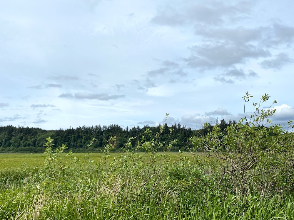
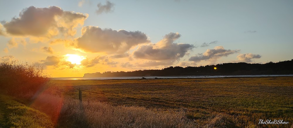
One of my favorite airports - on days when the Seattle area airspace is bonkers you can come out here and feel like you have the place to yourself with a beautiful runway and nice coastal breeze. Even when there are a few airplanes in the area it’s easy to space out and deconflict, and the scenery on the way in and out is pretty good as well. Quite often this airport will be clear when Ocean Shores and Westport are fogged in with a sea fog.