Pirep is a free, collaborative database of all public and private airports. All pilots are welcome to contribute their local knowledge to any airport, no registration required.


Public
METAR / TAF
Edit Tags
No upcoming events. Is anything happening here soon?
Last updated: 2025-04-21 13:18:23 CDT
Airport Statistics
- Local flying clubs
- General description
- Webcam links
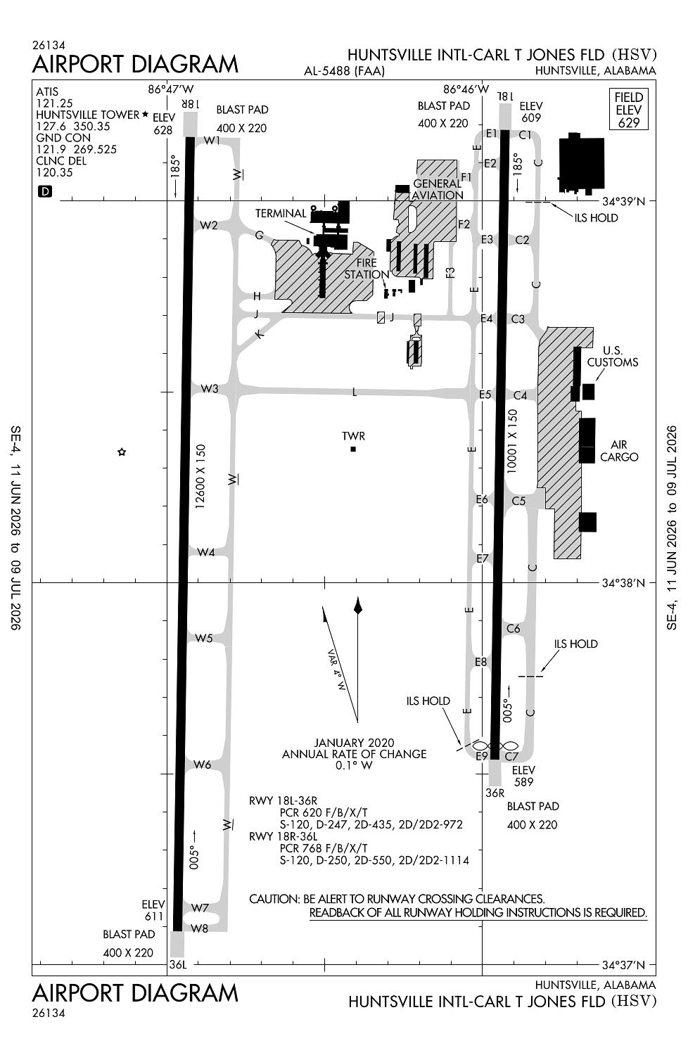
Location:
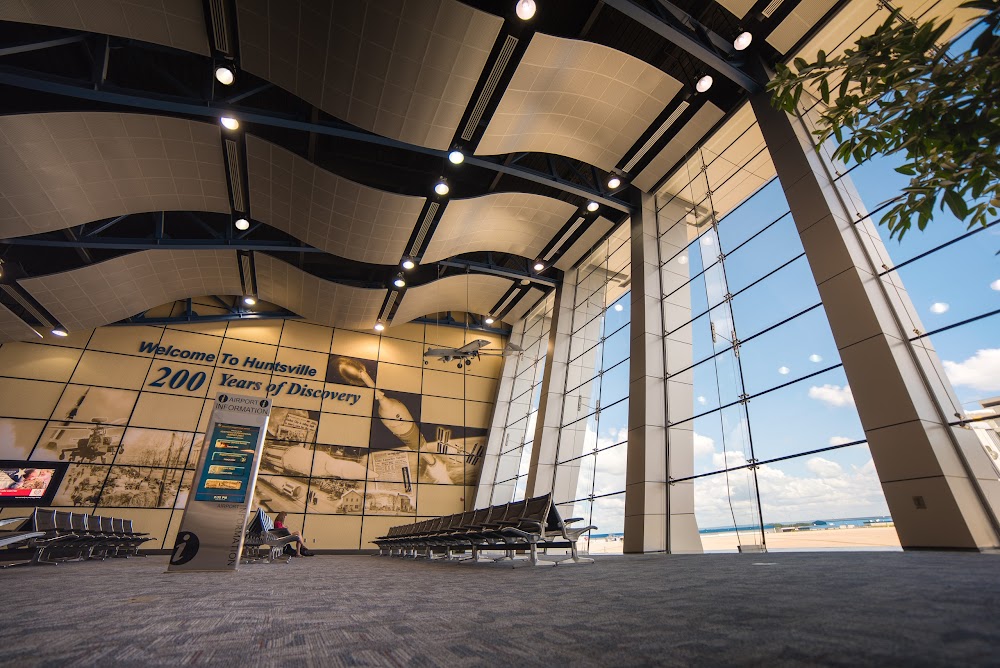
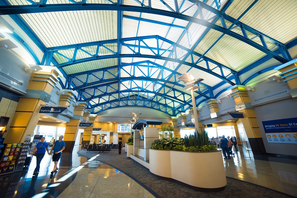
Huntsville, AL
Elevation:
628ft
Sectional:
Atlanta
Activation date:
May 1964
Fuel:
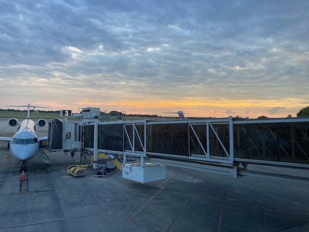
100LL, A (prices)
Runway 18R/36L:
12,600ft
Runway 18L/36R:
10,001ft
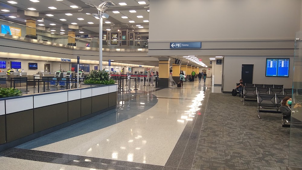
Access: Open to the public
Current Weather — VFR
-
Weather data is strictly informational and not for flight planning purposes.
-
METAR2026-07-16 10:53:00 CDT
Ceiling: Sky clear Wind: 290° @ 10kt Temperature: 84°F Dewpoint: 73°F Weather: N/A Visbility: 10SM Clouds: Scattered @ 2,600ft Raw:METAR KHSV 161553Z 29010KT 10SM SCT026 29/23 A3014 RMK AO2 SLP196 T02940228 $ -
TAF2026-07-16 08:00:00 CDT – 2026-07-16 09:00:00 CDT
Ceiling: 1,000ft Wind: 260° @ 4kt Weather: N/A Visbility: 6SM Clouds: Scattered @ 800ft, Broken @ 1,000ft Raw:TAF KHSV 161303Z 1613/1712 26004KT P6SM SCT008 BKN010 FM161400 26005KT P6SM SCT020 FM161700 27006KT P6SM SCT035 PROB30 1618/1622 4SM -TSRA BKN035CB FM170400 VRB03KT P6SM FEW250 -
TAF2026-07-16 09:00:00 CDT – 2026-07-16 12:00:00 CDT
Ceiling: Sky clear Wind: 260° @ 5kt Weather: N/A Visbility: 6SM Clouds: Scattered @ 2,000ft Raw:TAF KHSV 161303Z 1613/1712 26004KT P6SM SCT008 BKN010 FM161400 26005KT P6SM SCT020 FM161700 27006KT P6SM SCT035 PROB30 1618/1622 4SM -TSRA BKN035CB FM170400 VRB03KT P6SM FEW250 -
TAF2026-07-16 12:00:00 CDT – 2026-07-16 23:00:00 CDT
Ceiling: Sky clear Wind: 270° @ 6kt Weather: N/A Visbility: 6SM Clouds: Scattered @ 3,500ft Raw:TAF KHSV 161303Z 1613/1712 26004KT P6SM SCT008 BKN010 FM161400 26005KT P6SM SCT020 FM161700 27006KT P6SM SCT035 PROB30 1618/1622 4SM -TSRA BKN035CB FM170400 VRB03KT P6SM FEW250 -
TAF2026-07-16 13:00:00 CDT – 2026-07-16 17:00:00 CDT
Ceiling: 3,500ft Wind: 000° @ kt Weather: Light thunderstorm rain Visbility: 4SM Clouds: Broken @ 3,500ft Raw:TAF KHSV 161303Z 1613/1712 26004KT P6SM SCT008 BKN010 FM161400 26005KT P6SM SCT020 FM161700 27006KT P6SM SCT035 PROB30 1618/1622 4SM -TSRA BKN035CB FM170400 VRB03KT P6SM FEW250 -
TAF2026-07-16 23:00:00 CDT – 2026-07-17 07:00:00 CDT
Ceiling: Sky clear Wind: Variable Weather: N/A Visbility: 6SM Clouds: Few @ 25,000ft Raw:TAF KHSV 161303Z 1613/1712 26004KT P6SM SCT008 BKN010 FM161400 26005KT P6SM SCT020 FM161700 27006KT P6SM SCT035 PROB30 1618/1622 4SM -TSRA BKN035CB FM170400 VRB03KT P6SM FEW250
Click/tap to add an annotation marker to the map
No webcams added yet.
Remarks
- Ctc hsv arff on ctaf or phone 256-461-1115 for emerg when atct clsd.
- Intxn of twy j and service rd is uncontrolled.
- Line up and wait na.
- For cd when twr clsd, if una to ctc on fss freq, ctc memphis artcc at 901-368-8453/8449.
- Flt notification svc (adcus) avbl.
Comments