Pirep is a free, collaborative database of all public and private airports. All pilots are welcome to contribute their local knowledge to any airport, no registration required.


No upcoming events. Is anything happening here soon?
Last updated: 2023-11-05 01:17:23 EST
Airport Statistics
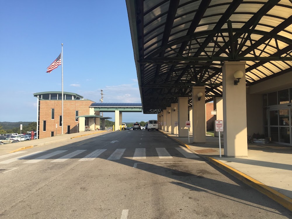
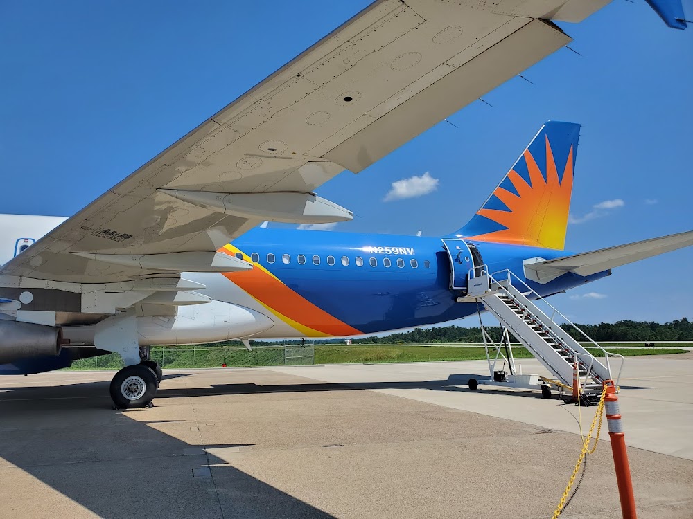
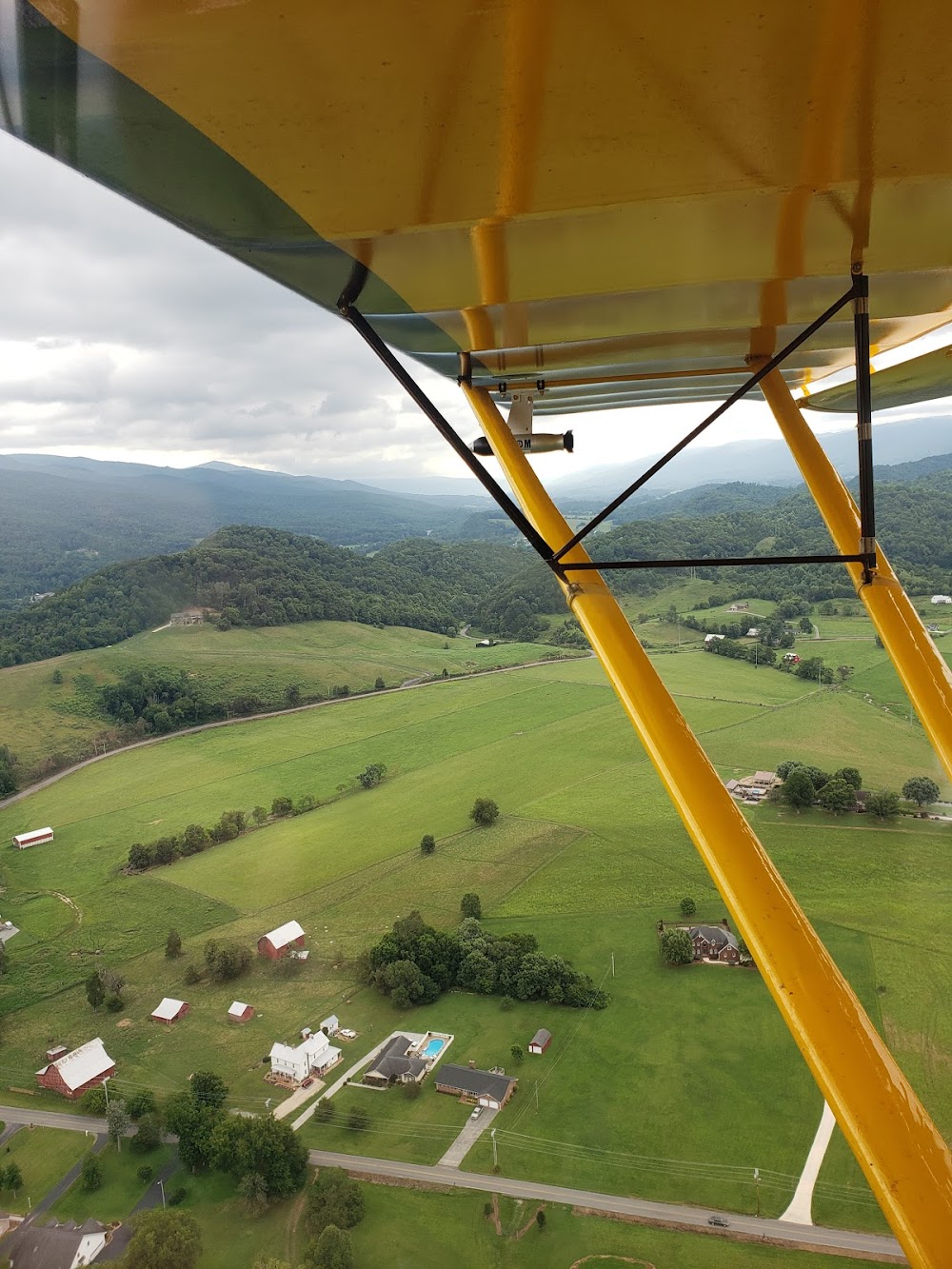
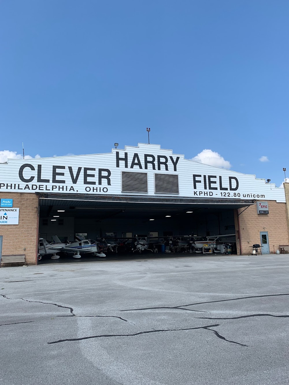
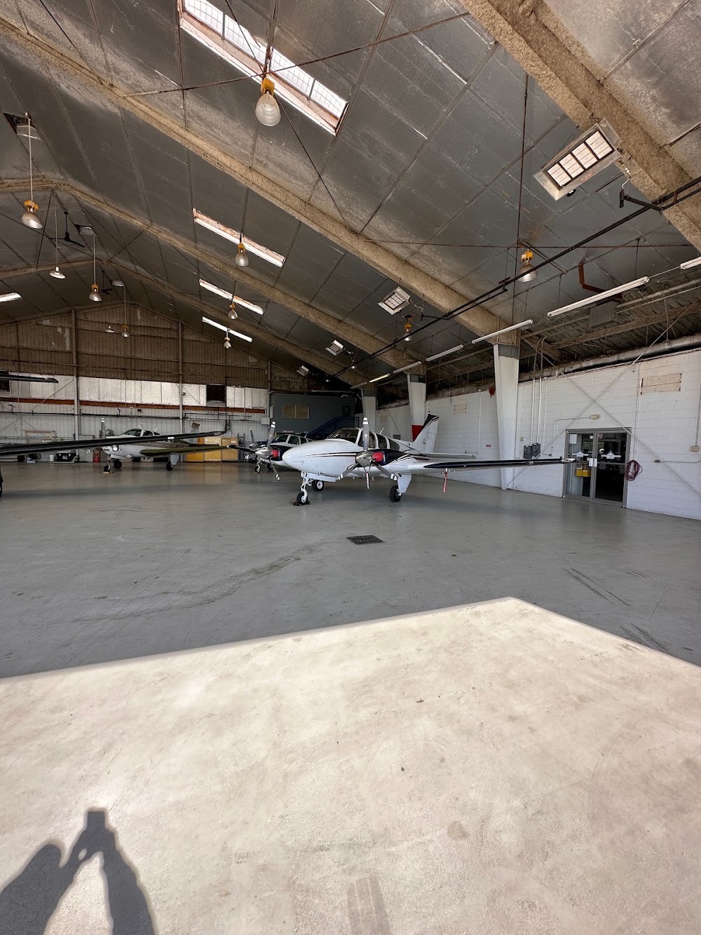
- Airport photos
- Local flying clubs
- WiFi availability
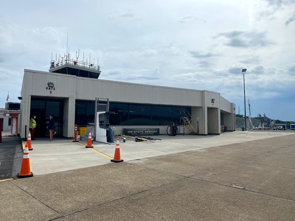
Location:
Huntington, WV
Elevation:
828ft
Sectional:
Cincinnati
Activation date:
Dec 1952
Fuel:
100LL, A (prices)
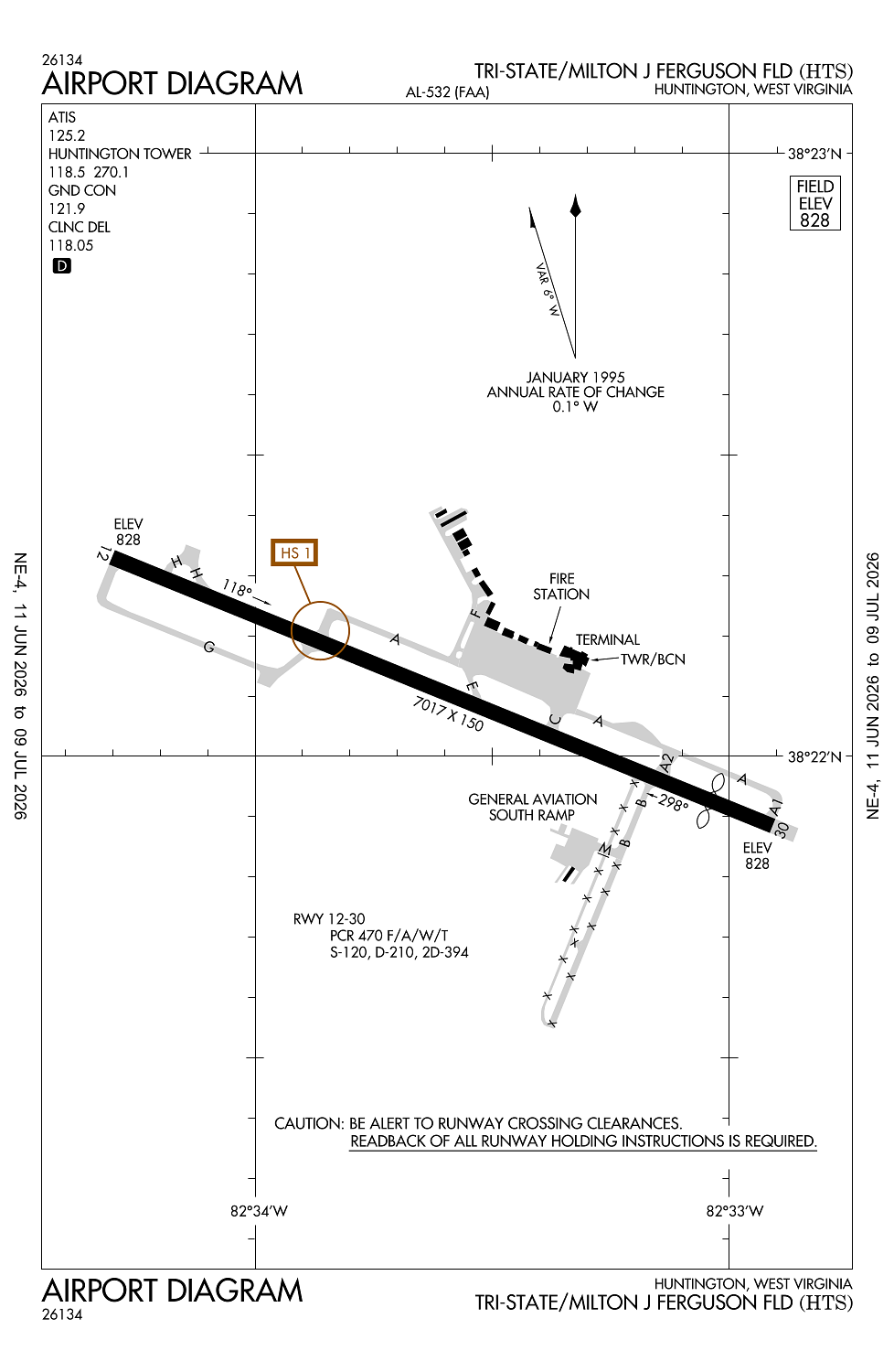
Runway 12/30:
7,017ft
Access: Open to the public
Similar Airports
Current Weather — VFR
-
Weather data is strictly informational and not for flight planning purposes.
-
METAR2026-07-24 11:51:00 EDT
Ceiling: Sky clear Wind: Variable Temperature: 77°F Dewpoint: 66°F Weather: N/A Visbility: 10SM Raw:METAR KHTS 241551Z VRB03KT 10SM CLR 25/19 A3011 RMK AO2 SLP188 T02500189 -
TAF2026-07-24 08:00:00 EDT – 2026-07-24 15:00:00 EDT
Ceiling: 6,000ft Wind: 040° @ 3kt Weather: N/A Visbility: 6SM Clouds: Broken @ 6,000ft Raw:TAF KHTS 241125Z 2412/2512 04003KT P6SM BKN060 FM241900 27004KT P6SM SCT120 -
TAF2026-07-24 15:00:00 EDT – 2026-07-25 08:00:00 EDT
Ceiling: Sky clear Wind: 270° @ 4kt Weather: N/A Visbility: 6SM Clouds: Scattered @ 12,000ft Raw:TAF KHTS 241125Z 2412/2512 04003KT P6SM BKN060 FM241900 27004KT P6SM SCT120
Click/tap to add an annotation marker to the map
No webcams added yet.
Remarks
- Existed prior to 1959.
- Pilots report possibility of mistaking fuel burning stack lctd aprxly 2 mi w ry 12 for apch lgtg sfl.
- Ry 12 obstn twr lctd 5100 ft w 600 ft n end ry.
- Birds & deer on & invof arpt.
- Fee for acft unless fuel purchased.
Comments