Pirep is a free, collaborative database of all public and private airports. All pilots are welcome to contribute their local knowledge to any airport, no registration required.


Public
Undocumented
METAR / TAF
Webcam
Edit Tags
No upcoming events. Is anything happening here soon?
Airport Statistics
- Airport map annotations
- Transient parking location
- Fuel pump location
Location:
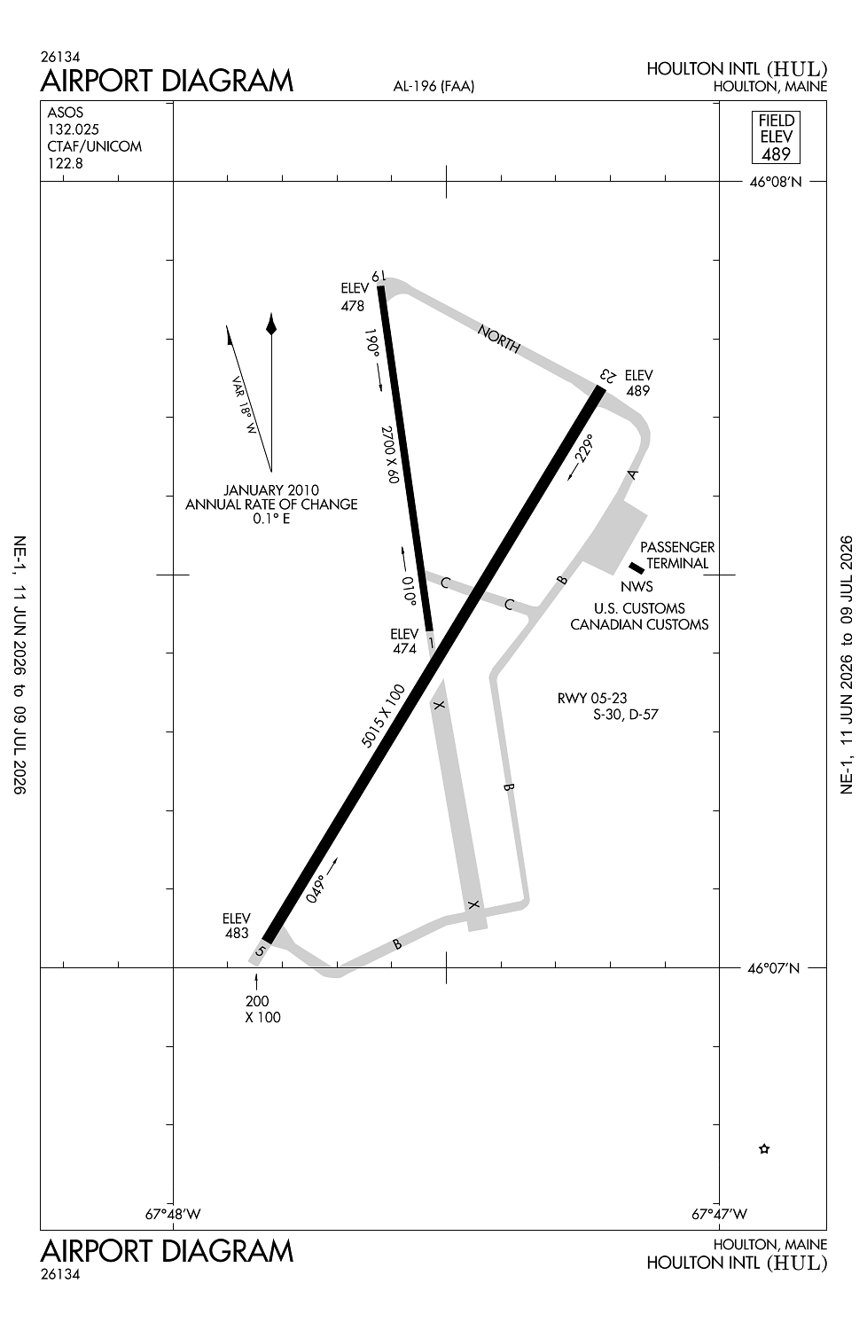
Houlton, ME
Elevation:
489ft
Sectional:
Halifax
Activation date:
Apr 1940
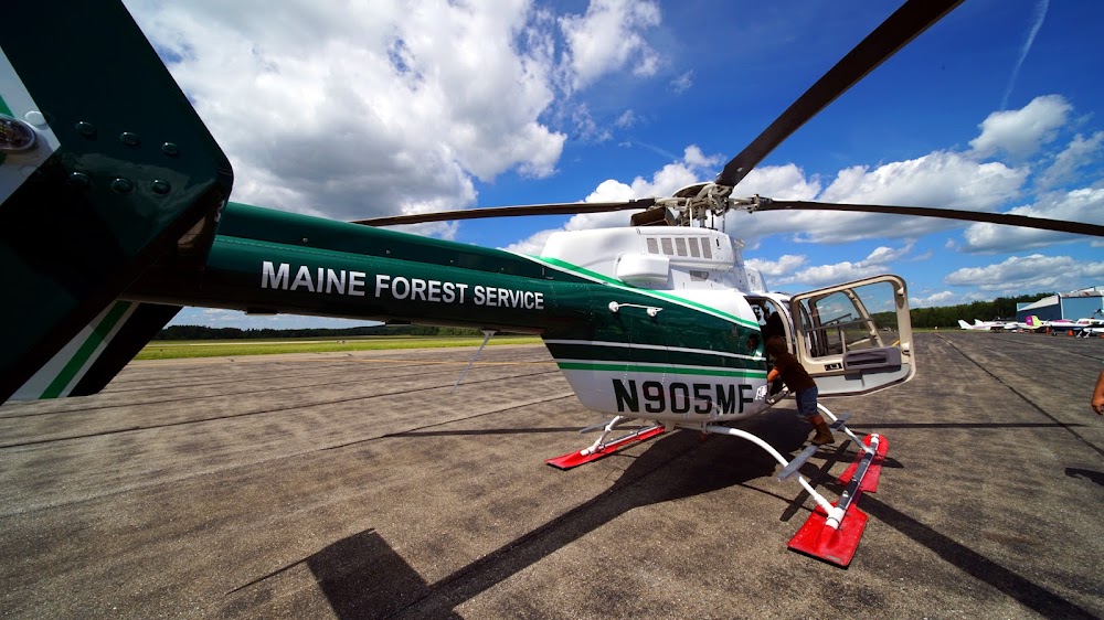
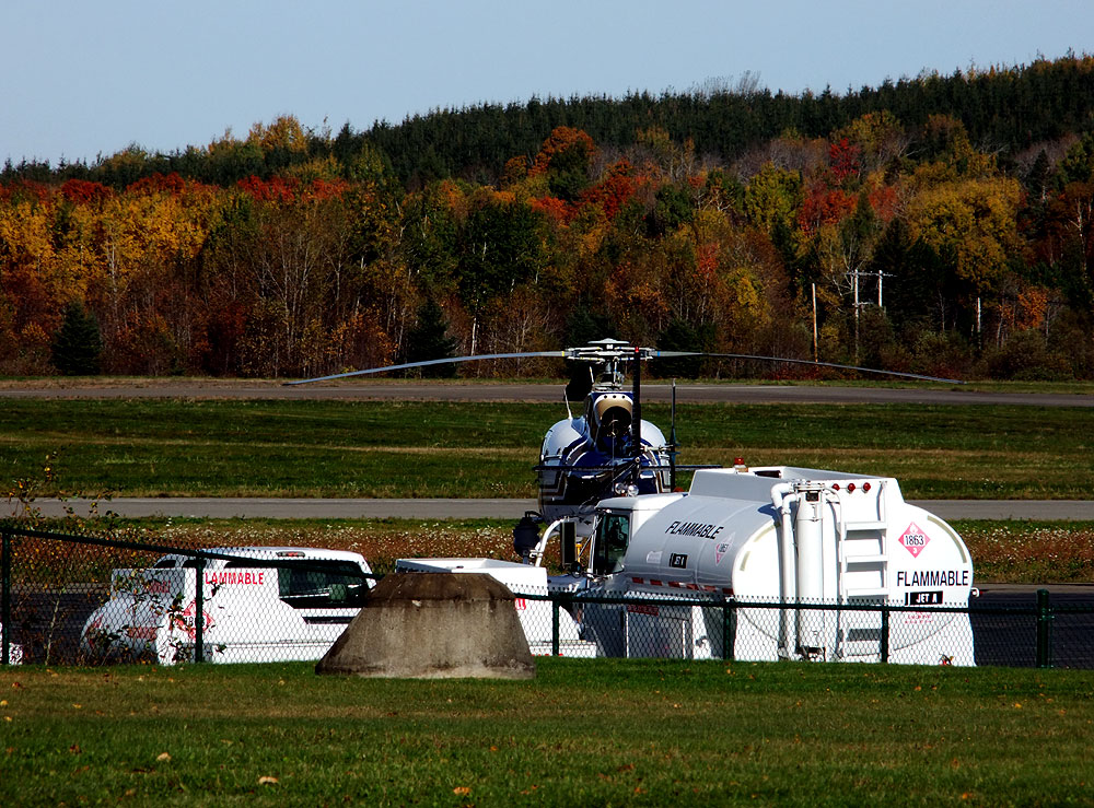
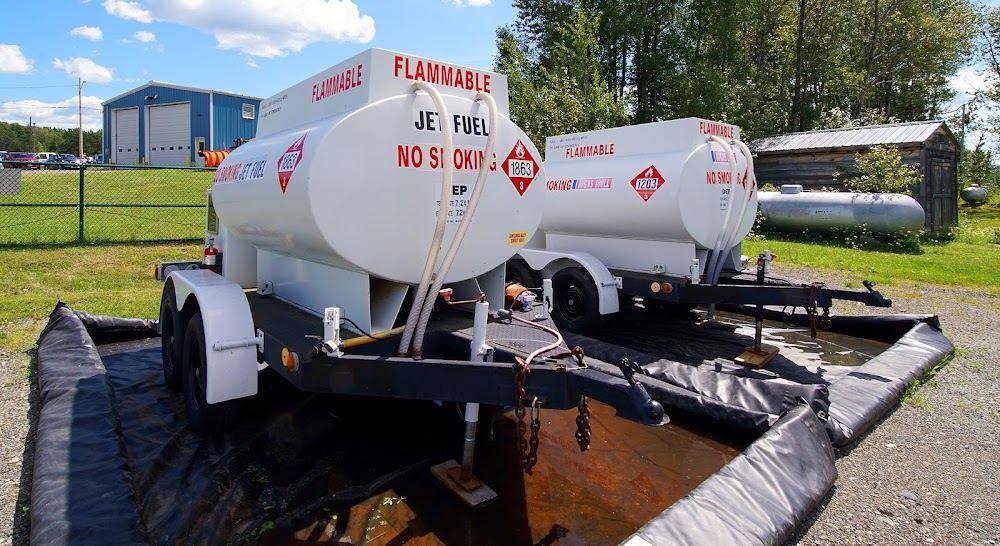
Fuel:
100LL, A+, A1+ (prices)
Runway 05/23:
5,015ft
Runway 01/19:
2,700ft
Access: Open to the public
Current Weather — VFR
-
Weather data is strictly informational and not for flight planning purposes.
-
METAR2026-07-20 22:53:00 EDT
Ceiling: Sky clear Wind: 200° @ 3kt Temperature: 55°F Dewpoint: 51°F Weather: N/A Visbility: 10SM Raw:METAR KHUL 210253Z AUTO 20003KT 10SM CLR 13/11 A2989 RMK AO2 SLP123 T01280111 50016 -
TAF2026-07-20 20:00:00 EDT – 2026-07-21 02:00:00 EDT
Ceiling: Sky clear Wind: 260° @ 6kt Weather: N/A Visbility: 6SM Clouds: Few @ 25,000ft Raw:TAF KHUL 202320Z 2100/2124 26006KT P6SM FEW250 FM210600 19005KT P6SM BKN150 FM211400 17014G25KT P6SM BKN150 -
TAF2026-07-21 02:00:00 EDT – 2026-07-21 10:00:00 EDT
Ceiling: 15,000ft Wind: 190° @ 5kt Weather: N/A Visbility: 6SM Clouds: Broken @ 15,000ft Raw:TAF KHUL 202320Z 2100/2124 26006KT P6SM FEW250 FM210600 19005KT P6SM BKN150 FM211400 17014G25KT P6SM BKN150 -
TAF2026-07-21 10:00:00 EDT – 2026-07-21 20:00:00 EDT
Ceiling: 15,000ft Wind: 170° @ 14kt, gusts 25kt Weather: N/A Visbility: 6SM Clouds: Broken @ 15,000ft Raw:TAF KHUL 202320Z 2100/2124 26006KT P6SM FEW250 FM210600 19005KT P6SM BKN150 FM211400 17014G25KT P6SM BKN150
Click/tap to add an annotation marker to the map
Remarks
- Existed prior to 1959.
- Usda recatering fac avbl.
- Deer on & invof arpt.
- For aft hrs aces to trml bldg use freq 122.8.
- For cd if una to ctc on fss freq, ctc boston artcc at 603-879-6859 .
Comments