Pirep is a free, collaborative database of all public and private airports. All pilots are welcome to contribute their local knowledge to any airport, no registration required.
Public
Undocumented
METAR / TAF
Webcam
Edit Tags
No upcoming events. Is anything happening here soon?
Airport Statistics
- Fuel pump location
- Transient parking location
- General description
Location:
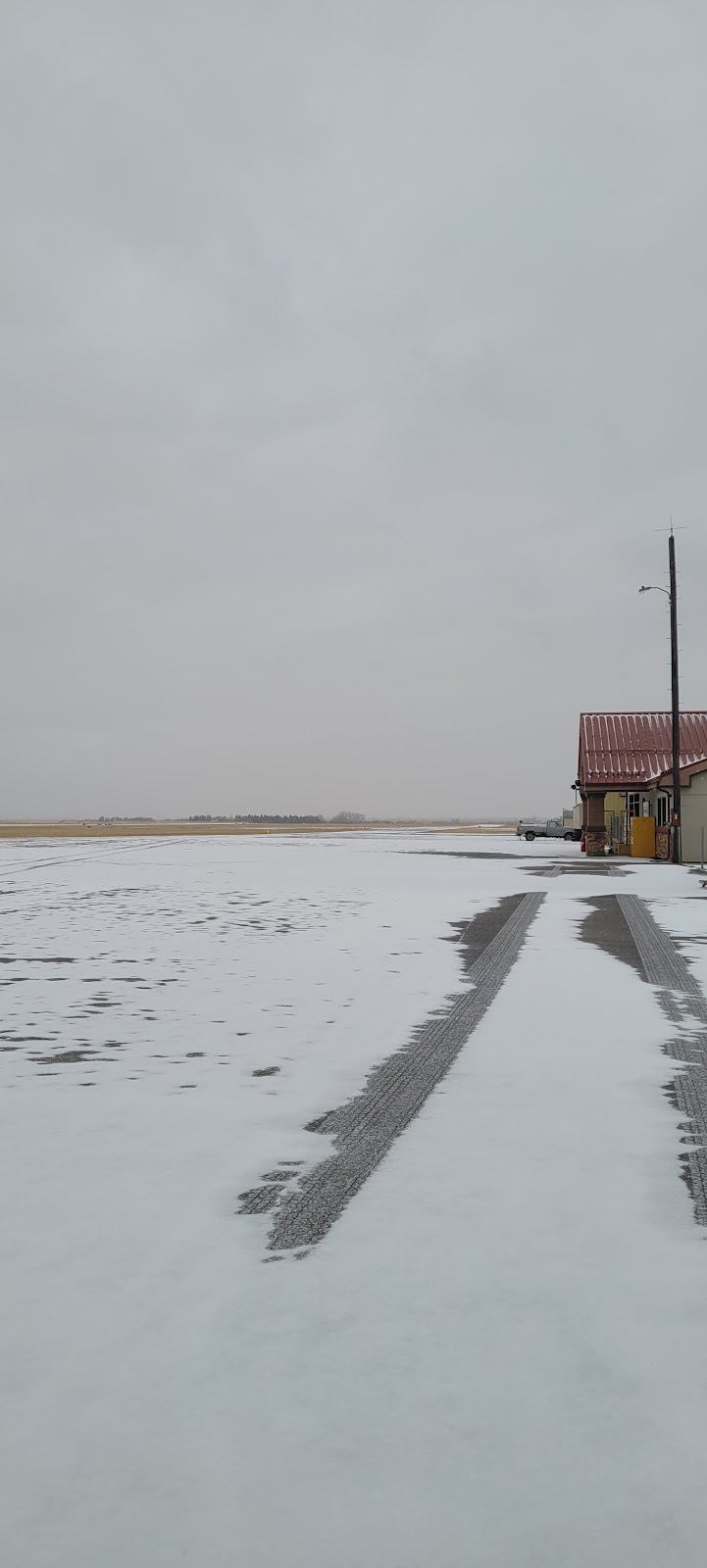
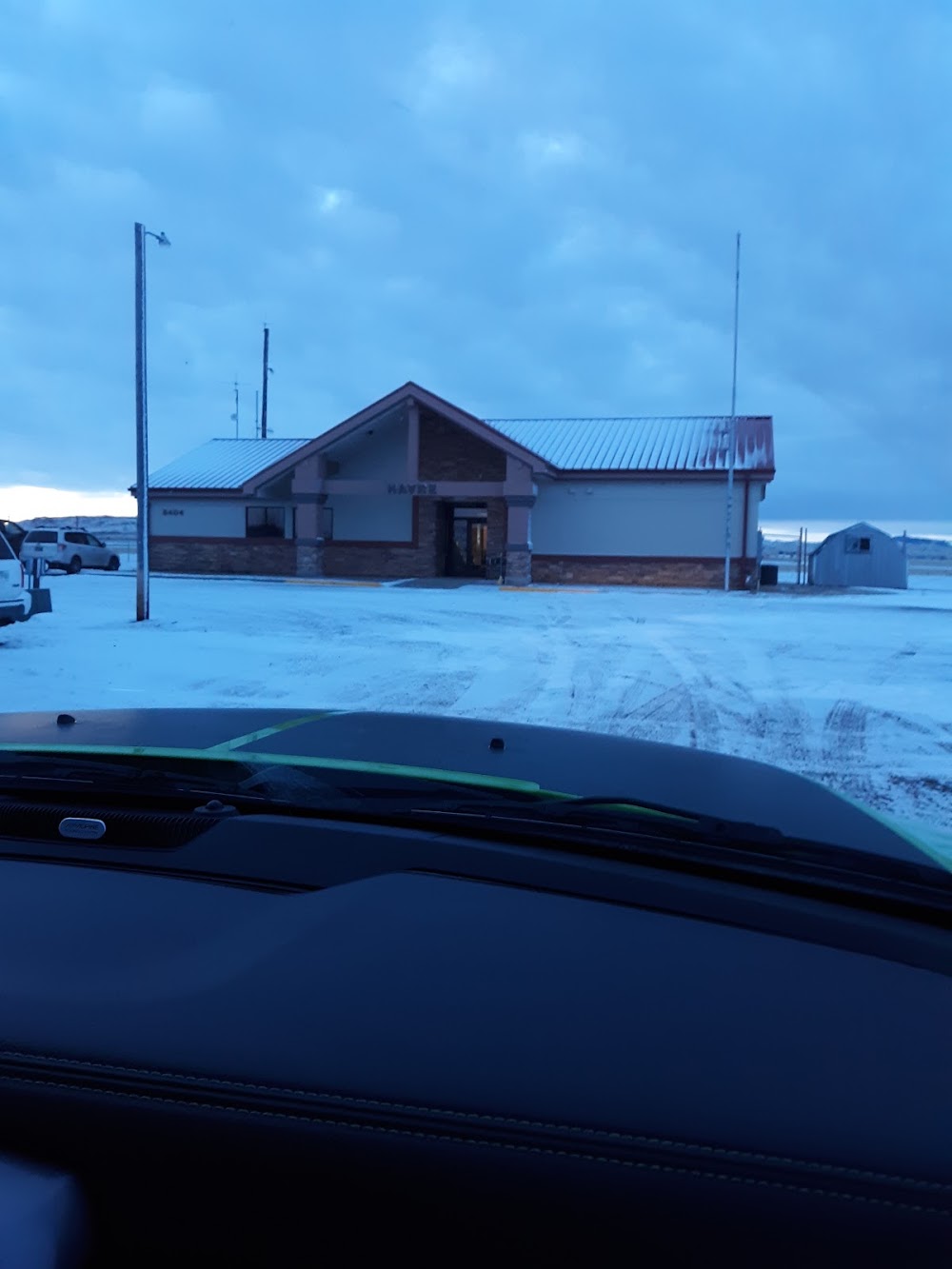
Havre, MT
Elevation:
2,591ft
Sectional:
Great Falls
Activation date:
Apr 1940
Fuel:
100LL, A+ (prices)
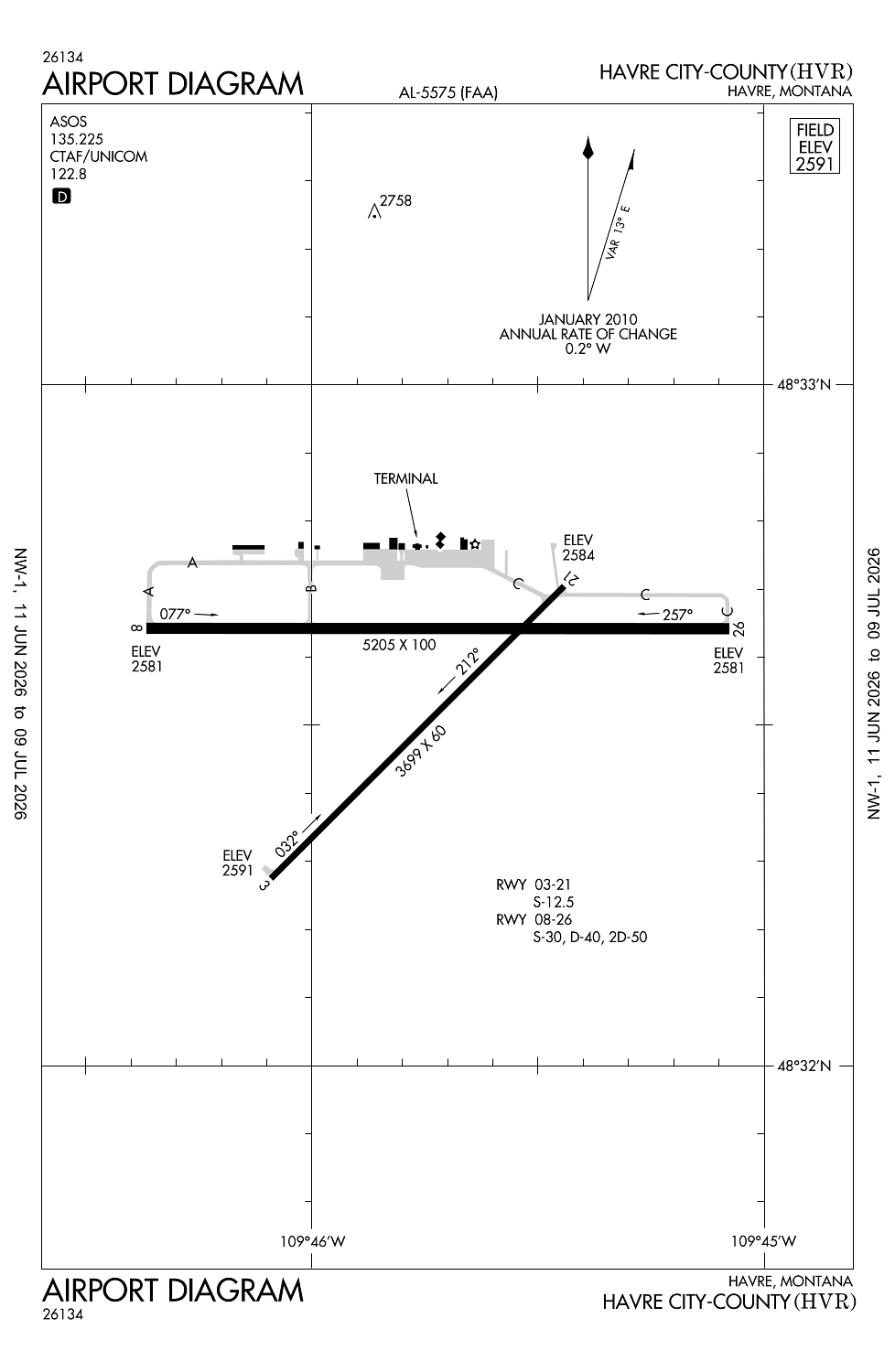
Runway 08/26:
5,205ft
Runway 03/21:
3,699ft
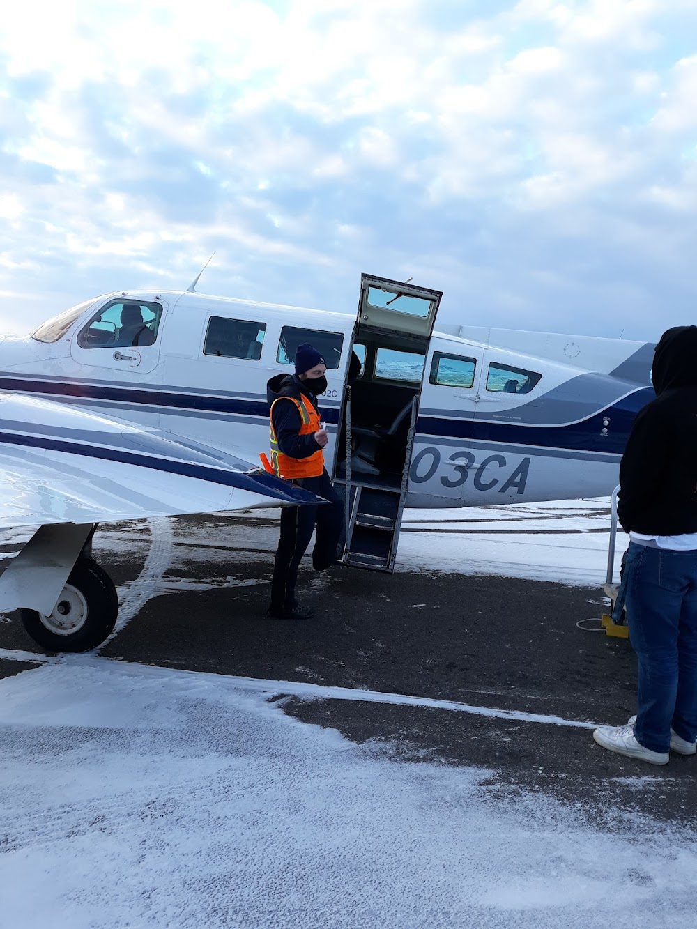
Access: Open to the public
Current Weather — VFR
-
Weather data is strictly informational and not for flight planning purposes.
-
METAR2026-07-16 00:53:00 MDT
Ceiling: Sky clear Wind: 250° @ 5kt Temperature: 66°F Dewpoint: 62°F Weather: N/A Visbility: 10SM Raw:METAR KHVR 160653Z AUTO 25005KT 10SM CLR 19/17 A3002 RMK AO2 SLP149 T01890172 403060178 -
TAF2026-07-16 00:00:00 MDT – 2026-07-16 18:00:00 MDT
Ceiling: Sky clear Wind: Variable Weather: N/A Visbility: 6SM Clouds: @ ft Raw:TAF KHVR 160520Z 1606/1706 VRB03KT P6SM SKC FM170000 07007KT P6SM FEW250 -
TAF2026-07-16 18:00:00 MDT – 2026-07-17 00:00:00 MDT
Ceiling: Sky clear Wind: 070° @ 7kt Weather: N/A Visbility: 6SM Clouds: Few @ 25,000ft Raw:TAF KHVR 160520Z 1606/1706 VRB03KT P6SM SKC FM170000 07007KT P6SM FEW250
Click/tap to add an annotation marker to the map
Remarks
- This airport has been surveyed by the national geodetic survey.
- Potential large flocks of waterfowl near approach end ry 26.
- For cd if una to ctc on fss freq, ctc salt lake artcc at 801-320-2568.
- Actvt reil rwy 08 & 26; papi rwy 21; vasi rwy 08 & 26; mirl rwy 03/21 - ctaf
- Afld sfc cond call 24/7 406-390-5689
Comments