Pirep is a free, collaborative database of all public and private airports. All pilots are welcome to contribute their local knowledge to any airport, no registration required.
Public
Undocumented
METAR / TAF
Edit Tags
No upcoming events. Is anything happening here soon?
Airport Statistics
- Fuel pump location
- Tags
- Airport map annotations
Location:
Hayward, WI
Elevation:
1,215ft
Sectional:
Green Bay
Fuel:
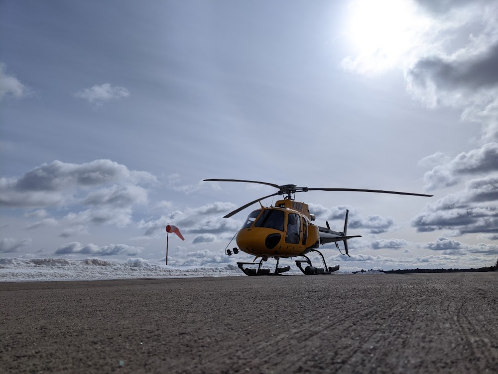
100LL, A+ (prices)
Runway 03/21:
5,003ft
Runway 16/34:
1,088ft
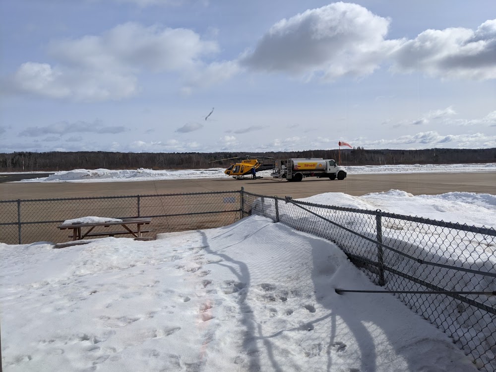
Access: Open to the public
Current Weather — VFR
-
Weather data is strictly informational and not for flight planning purposes.
-
METAR2026-07-20 02:53:00 CDT
Ceiling: 9,000ft Wind: 200° @ 12kt Temperature: 71°F Dewpoint: 64°F Weather: N/A Visbility: 7SM Clouds: Broken @ 9,000ft, Overcast @ 11,000ft Raw:METAR KHYR 200753Z AUTO 20012KT 7SM BKN090 OVC110 22/18 A2983 RMK AO2 SLP095 T02220178 -
TAF2026-07-20 01:00:00 CDT – 2026-07-20 04:00:00 CDT
Ceiling: Sky clear Wind: 200° @ 7kt Weather: N/A Visbility: 6SM Clouds: Scattered @ 10,000ft Raw:TAF KHYR 200533Z 2006/2106 20007KT P6SM SCT100 FM200900 20008KT P6SM BKN100 PROB30 2010/2013 4SM -TSRA BKN080CB FM201500 22010G20KT P6SM SCT100 FM202100 25012G24KT P6SM VCTS SCT100CB FM210000 27010G18KT P6SM FEW100 -
TAF2026-07-20 04:00:00 CDT – 2026-07-20 10:00:00 CDT
Ceiling: 10,000ft Wind: 200° @ 8kt Weather: N/A Visbility: 6SM Clouds: Broken @ 10,000ft Raw:TAF KHYR 200533Z 2006/2106 20007KT P6SM SCT100 FM200900 20008KT P6SM BKN100 PROB30 2010/2013 4SM -TSRA BKN080CB FM201500 22010G20KT P6SM SCT100 FM202100 25012G24KT P6SM VCTS SCT100CB FM210000 27010G18KT P6SM FEW100 -
TAF2026-07-20 05:00:00 CDT – 2026-07-20 08:00:00 CDT
Ceiling: 8,000ft Wind: 000° @ kt Weather: Light thunderstorm rain Visbility: 4SM Clouds: Broken @ 8,000ft Raw:TAF KHYR 200533Z 2006/2106 20007KT P6SM SCT100 FM200900 20008KT P6SM BKN100 PROB30 2010/2013 4SM -TSRA BKN080CB FM201500 22010G20KT P6SM SCT100 FM202100 25012G24KT P6SM VCTS SCT100CB FM210000 27010G18KT P6SM FEW100 -
TAF2026-07-20 10:00:00 CDT – 2026-07-20 16:00:00 CDT
Ceiling: Sky clear Wind: 220° @ 10kt, gusts 20kt Weather: N/A Visbility: 6SM Clouds: Scattered @ 10,000ft Raw:TAF KHYR 200533Z 2006/2106 20007KT P6SM SCT100 FM200900 20008KT P6SM BKN100 PROB30 2010/2013 4SM -TSRA BKN080CB FM201500 22010G20KT P6SM SCT100 FM202100 25012G24KT P6SM VCTS SCT100CB FM210000 27010G18KT P6SM FEW100 -
TAF2026-07-20 16:00:00 CDT – 2026-07-20 19:00:00 CDT
Ceiling: Sky clear Wind: 250° @ 12kt, gusts 24kt Weather: Thunderstorm in vicinity Visbility: 6SM Clouds: Scattered @ 10,000ft Raw:TAF KHYR 200533Z 2006/2106 20007KT P6SM SCT100 FM200900 20008KT P6SM BKN100 PROB30 2010/2013 4SM -TSRA BKN080CB FM201500 22010G20KT P6SM SCT100 FM202100 25012G24KT P6SM VCTS SCT100CB FM210000 27010G18KT P6SM FEW100 -
TAF2026-07-20 19:00:00 CDT – 2026-07-21 01:00:00 CDT
Ceiling: Sky clear Wind: 270° @ 10kt, gusts 18kt Weather: N/A Visbility: 6SM Clouds: Few @ 10,000ft Raw:TAF KHYR 200533Z 2006/2106 20007KT P6SM SCT100 FM200900 20008KT P6SM BKN100 PROB30 2010/2013 4SM -TSRA BKN080CB FM201500 22010G20KT P6SM SCT100 FM202100 25012G24KT P6SM VCTS SCT100CB FM210000 27010G18KT P6SM FEW100
Click/tap to add an annotation marker to the map
No webcams added yet.
Remarks
- Ry 16/34 clsd dec 1 thru apr 15.
- Birds on & invof arpt.
- Arpt cond unmon 1700-0800.
- For cd if una via freq ctc minneapolis artcc at 651-463-5588.
- Actvt malsr rwy 21; reil rwy 03; papi rwy 03 & 21; hirl rwy 03/21 - ctaf. ss-sr hirl rwy 03/21 preset to low; to incr intst - ctaf.
- Yellow cones.
- Yellow cones.
- Pcr value: 290/f/c/x/t
Comments