Pirep is a free, collaborative database of all public and private airports. All pilots are welcome to contribute their local knowledge to any airport, no registration required.
No upcoming events. Is anything happening here soon?
Last updated: 2023-06-29 22:49:54 EDT
Airport Statistics
- Crew car availability
- Transient parking location
- Webcam links
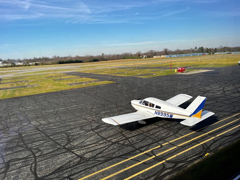
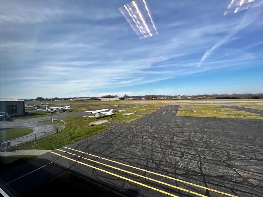
Location:
Batavia, OH
Elevation:
843ft
Sectional:
Cincinnati
Activation date:
Apr 1969
Fuel:
100LL, A (prices)
Runway 04/22:
3,567ft
Access: Open to the public
Similar Airports

Click/tap to add an annotation marker to the map
No webcams added yet.
Remarks
- Taxi on hard sfc only.
- Deer, birds, & otr wildlife on & invof arpt.
- For cd ctc cincinnati apch at 859-372-6440.
- Actvt reil rwy 04 & 22; papi rwy 04 & 22; mirl rwy 04/22 - ctaf.
- Extn 227.
- Icing inhibitor avbl by injection.
- 0:1 apch slp to dthr ovr 12 ft road, 225 ft r.
- Close-in obstns incl conc pipe & fence.
Comments