Pirep is a free, collaborative database of all public and private airports. All pilots are welcome to contribute their local knowledge to any airport, no registration required.
Public
Edit Tags
No upcoming events. Is anything happening here soon?
Last updated: 2025-12-12 17:10:39 CST
Last updated: 2025-12-12 17:10:39 CST
Last updated: 2025-12-12 17:10:39 CST
Last updated: 2025-12-12 17:10:39 CST
Last updated: 2025-10-22 22:21:10 CDT
Airport Statistics
- Tags
- Transient parking location
- Airport photos
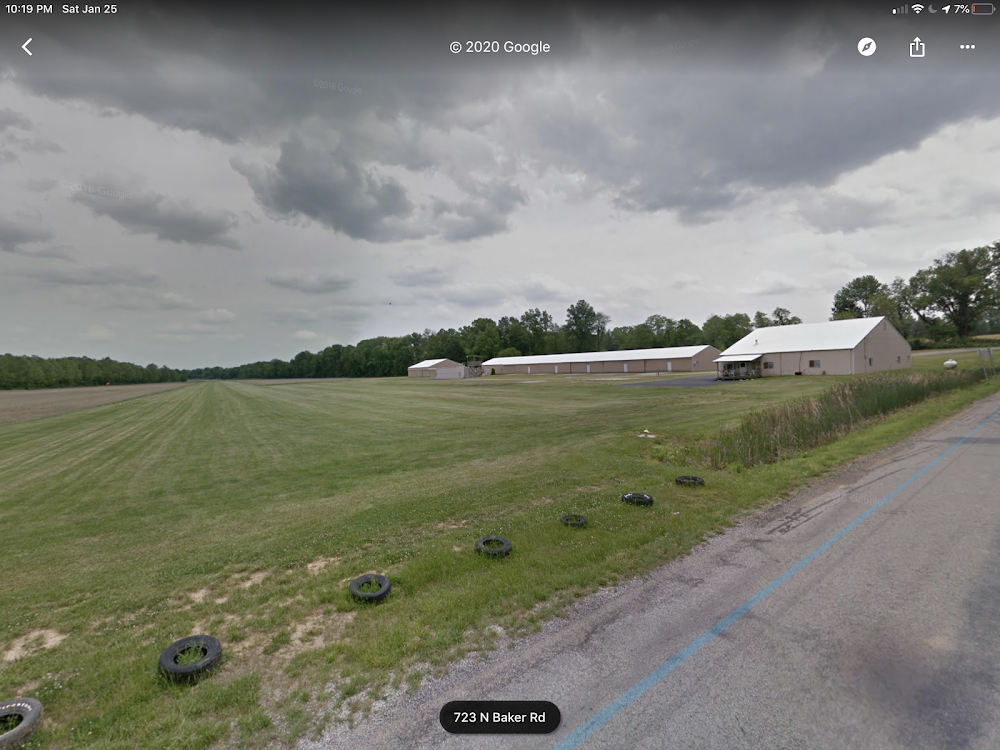
Location:
Boonville, IN
Elevation:
395ft
Sectional:
St Louis
Activation date:
May 1979
Fuel:
None
Runway 09/27:
2,300ft
Access: Open to the public
Click/tap to add an annotation marker to the map
No webcams added yet.
Remarks
- Drainage areas along rwy bndrys hold water after rain.
- Uneven terrain fm turf ry to grvl apron.
- For cd ctc evansville apch at 812-436-4690, when apch clsd ctc indianapolis artcc at 317-247-2411.
Comments