Pirep is a free, collaborative database of all public and private airports. All pilots are welcome to contribute their local knowledge to any airport, no registration required.


Private
Undocumented
Edit Tags
No upcoming events. Is anything happening here soon?
Airport Statistics
- WiFi availability
- Tags
- Local flying clubs
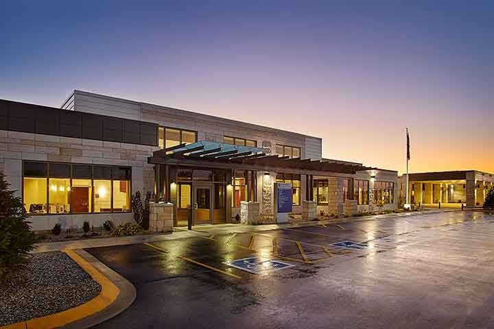
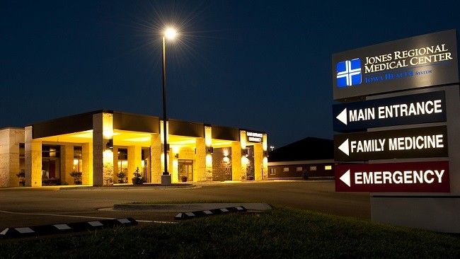
Location:
Anamosa, IA
Elevation:
838ft
Sectional:
Chicago
Activation date:
Mar 2017
Fuel:
None
Runway H1:
40ft
Access: Private to everyone
Is this airport privately owned but open to the public with or without restrictions? Or perhaps the owner is simply happy for pilots to stop by with prior permission?
Click/tap to add an annotation marker to the map
No webcams added yet.
Remarks
- 1. the final approach and takeoff area (fato) and corresponding safety area must be cleared of objects that exceed 2 inches in height above the heliport surface. specifically, the 2 flood lights located approx 44 feet north-northwest (334 degrees) and 46 feet south-southeast (164 degrees) of the center of the touchdown and liftoff area (tlof) must be relocated or removed. inaddition, the vegetation along the northwest bank of the lagoon that lies southeast of the heliport must be cut back so that it no longer penetrates the safety area of the 8:1 approach/departure surface. adequate security measures mut be developed to assure that the safety area is not penetrated by vehicles, persons or other mobile objects while flight operations are taking place. 2. approach/departure (a/d) operations must be conducted between 112 degrees clockwise through 126 degrees from the heliport (relative to true north), and between 292 degrees clockwise through 306 degrees (relative to true north), using the center of the touchdown and liftoff area (tlof) as the reference point. use of these a/d routes requires the lowering or removal of a light pole located approx 280 feet east-sourtheast (bearing 112 degrees) from the tlof center; upon removal of vegetation that underlies the a/d route from/to sourtheast; and upon the installation of obstruction lighting on the corners of the roof line and other appurtenances mounted on the roof of the hospital building that underlie the a/d route...
- For cd ctc chicago artcc at 630-906-8921.
- Additional contact: stephanie voss stephanie.voss@unitypoint.org
Comments