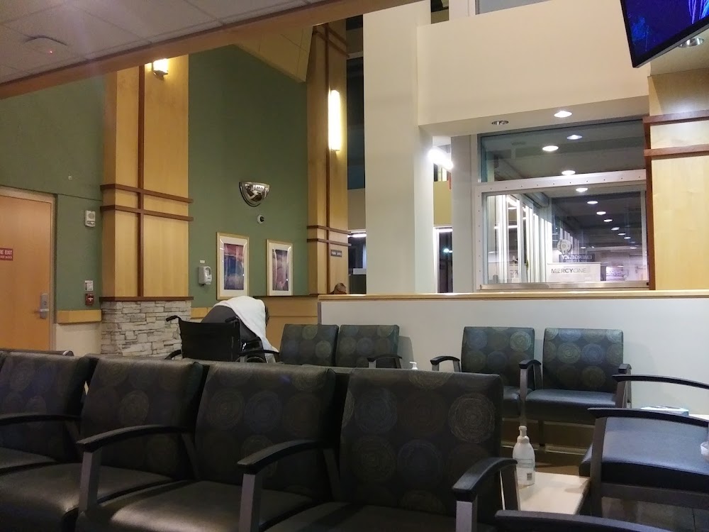
Pirep is a free, collaborative database of all public and private airports. All pilots are welcome to contribute their local knowledge to any airport, no registration required.
Private
Undocumented
Edit Tags
No upcoming events. Is anything happening here soon?
Airport Statistics
- Fuel pump location
- Webcam links
- Airport map annotations
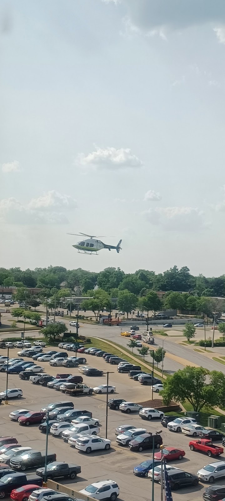
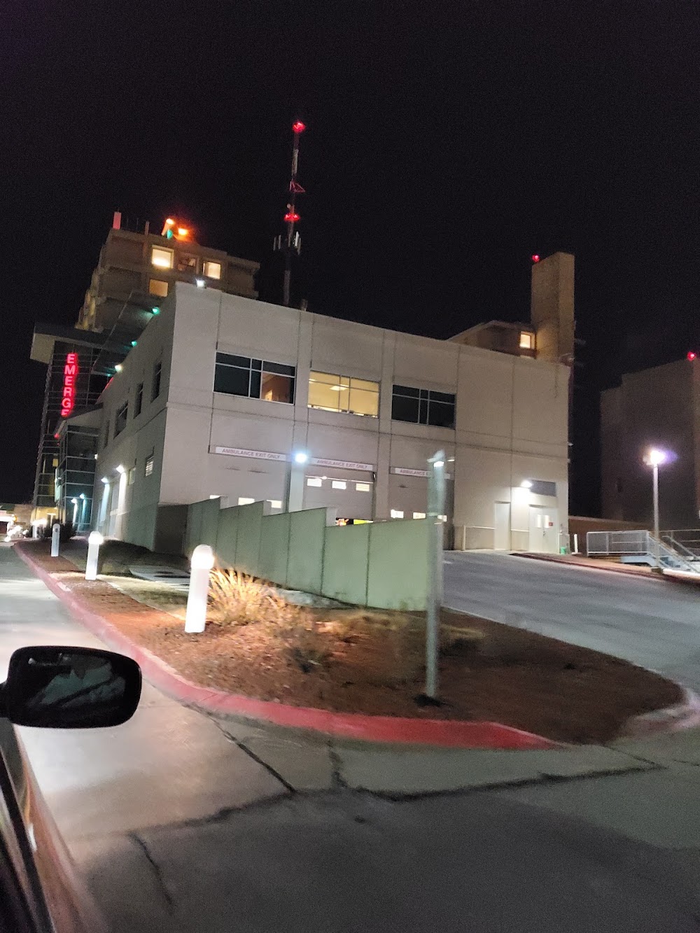
Location:
Des Moines, IA
Elevation:
933ft
Sectional:
Omaha
Activation date:
Dec 1979
Fuel:
None
Runway H2:
60ft
Runway H1:
40ft
Access: Private to everyone
Is this airport privately owned but open to the public with or without restrictions? Or perhaps the owner is simply happy for pilots to stop by with prior permission?
Click/tap to add an annotation marker to the map
No webcams added yet.
Remarks
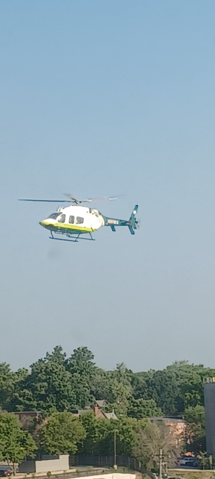
- E111:prvdd apch/dep paths to lndg area are mntnd for a mnm 8:1 glide slope... e111 con'd: and that the transitional sfc be mntnd for a mnm 2:1 slope; lgt poles lctd north; west & south sides of heliport are removed.
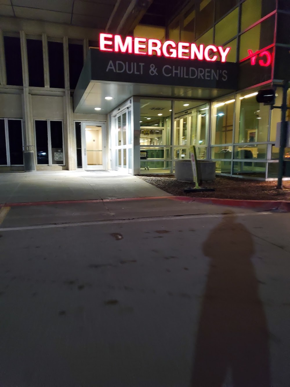
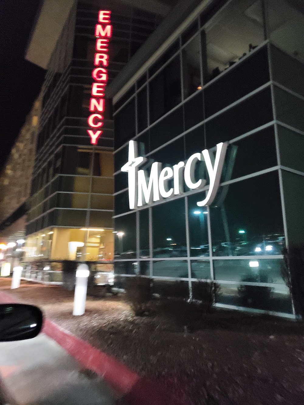
- Medical.
- Owner requests not to be charted.
- For cd ctc minneapolis artcc at 651-463-5588.
- Dennis cochran, program manager
- Omnidirectional yellow lgts.
Comments