Pirep is a free, collaborative database of all public and private airports. All pilots are welcome to contribute their local knowledge to any airport, no registration required.


Public
Undocumented
METAR / TAF
Edit Tags
No upcoming events. Is anything happening here soon?
Airport Statistics
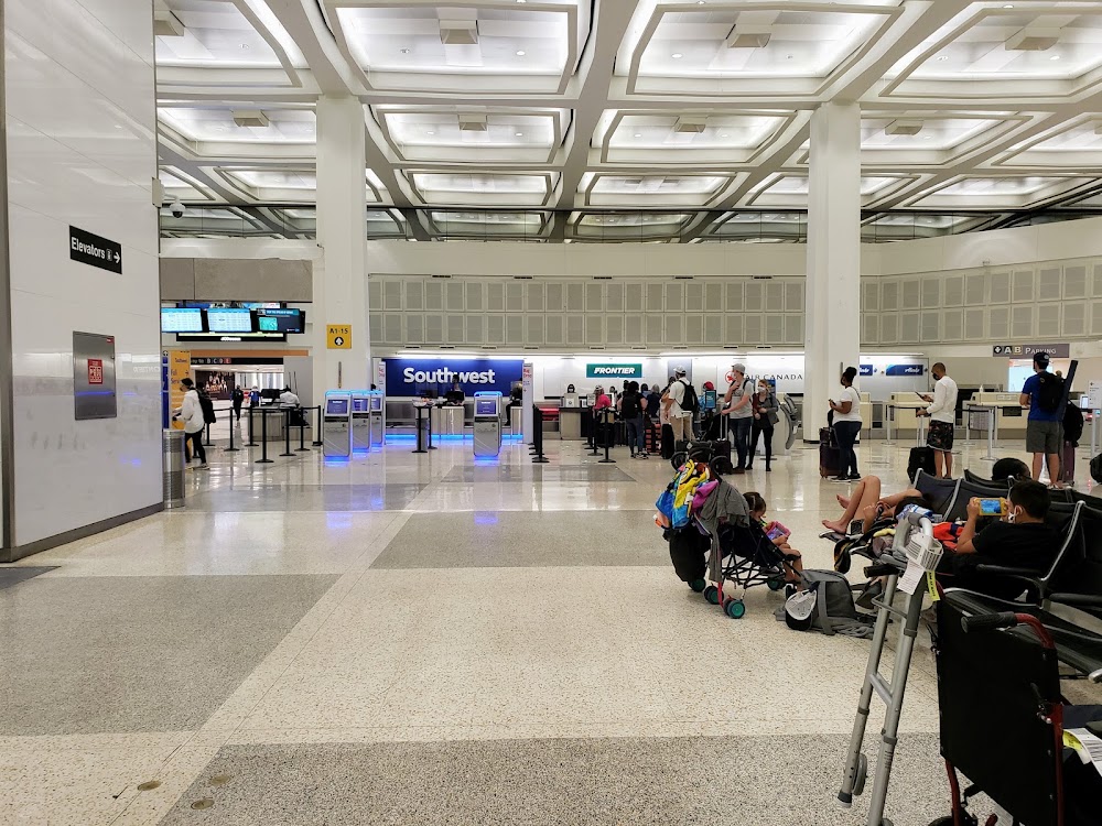
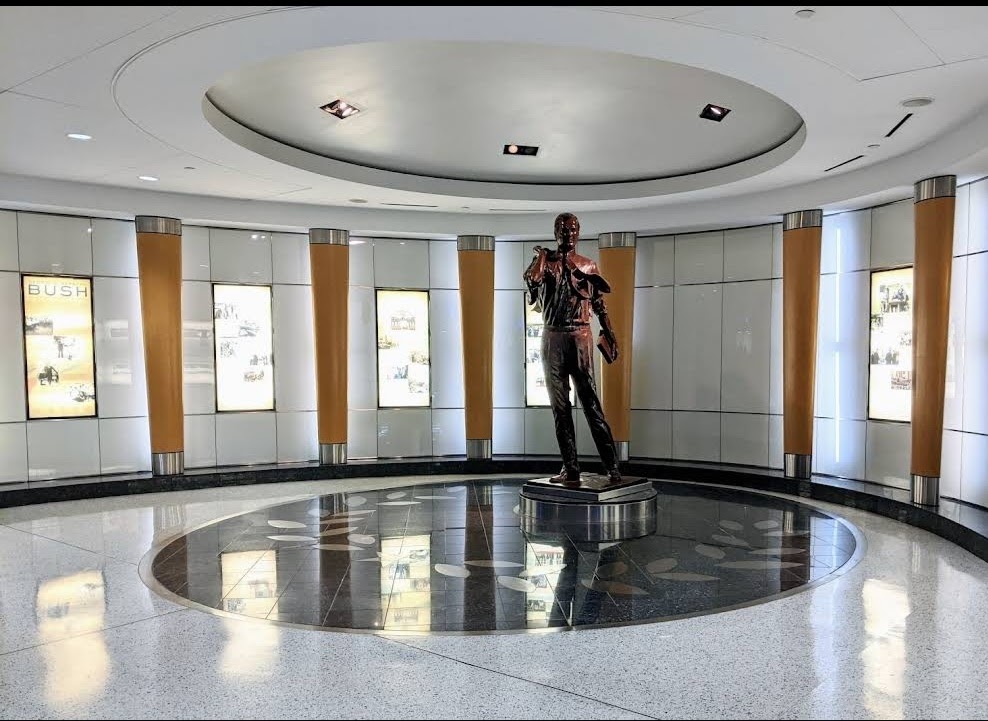
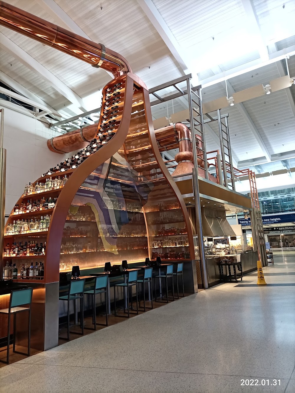
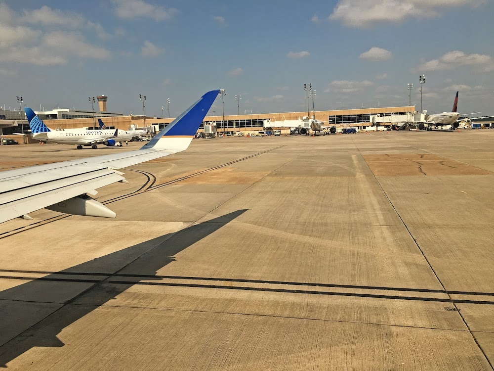
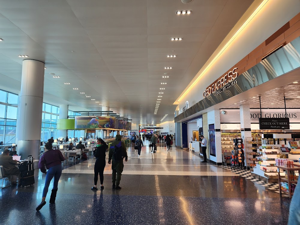
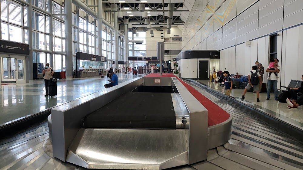
- Airport photos
- Crew car availability
- Tags
Location:
Houston, TX
Elevation:
95ft
Sectional:
Houston
Activation date:
Jan 1963
Fuel:
100LL, A (prices)
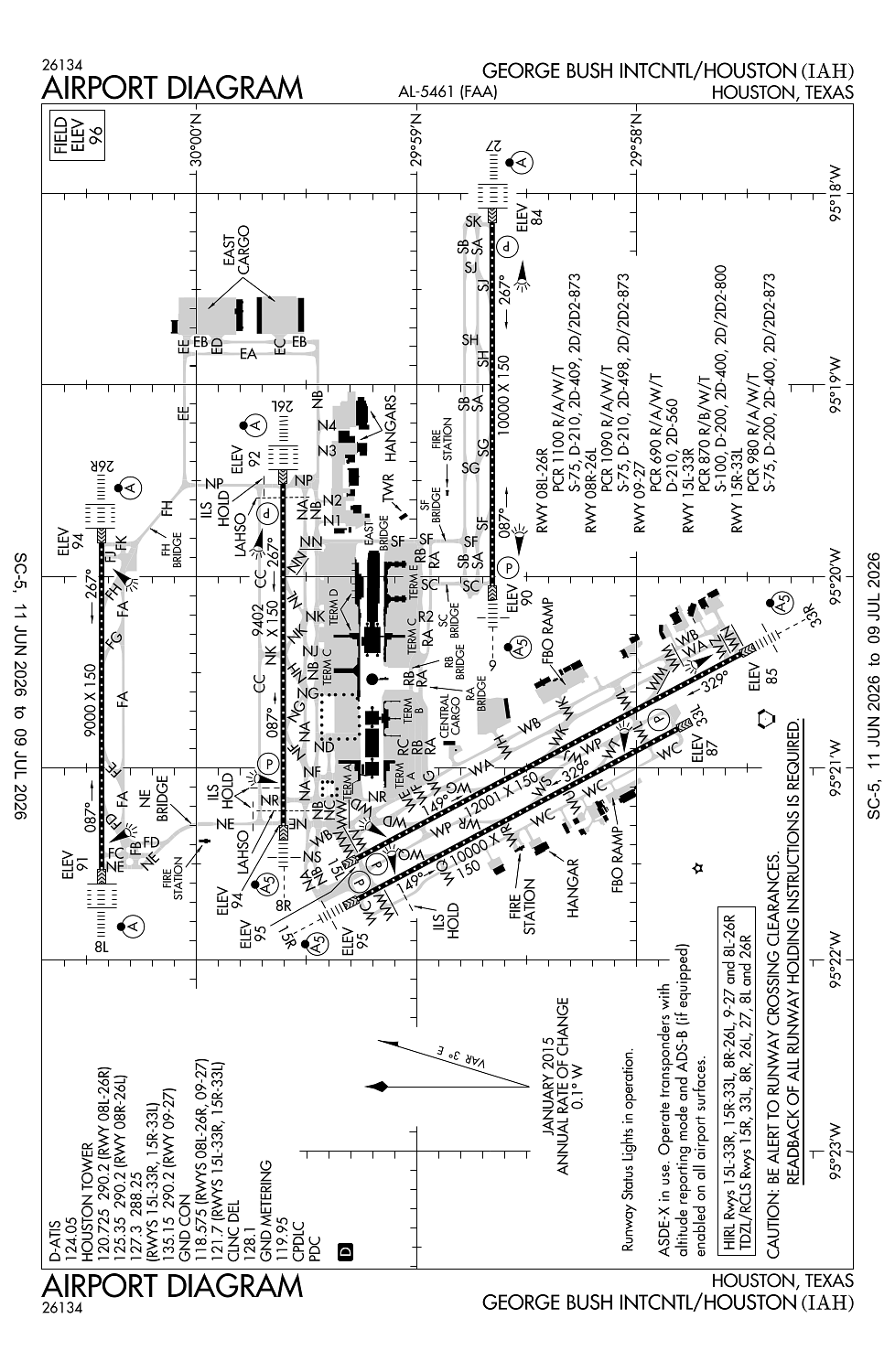
Runway 15L/33R:
12,001ft
Runway 09/27:
10,000ft
Runway 15R/33L:
10,000ft
Runway 08R/26L:
9,402ft
Runway 08L/26R:
9,000ft
Access: Open to the public
Current Weather — VFR
-
Weather data is strictly informational and not for flight planning purposes.
-
METAR2026-07-21 00:53:00 CDT
Ceiling: Sky clear Wind: 210° @ 4kt Temperature: 82°F Dewpoint: 75°F Weather: N/A Visbility: 10SM Clouds: Few @ 25,000ft Raw:METAR KIAH 210553Z 21004KT 10SM FEW250 28/24 A2989 RMK AO2 SLP120 T02830244 10356 20272 403670250 58003 -
TAF2026-07-21 01:00:00 CDT – 2026-07-21 05:00:00 CDT
Ceiling: Sky clear Wind: Variable Weather: N/A Visbility: 6SM Clouds: Few @ 25,000ft Raw:TAF KIAH 210520Z 2106/2212 VRB04KT P6SM FEW250 FM211000 25005KT P6SM FEW015 FEW250 FM211500 27005KT P6SM SKC FM212100 28003KT P6SM FEW060 FM220000 VRB03KT P6SM SCT060 -
TAF2026-07-21 05:00:00 CDT – 2026-07-21 10:00:00 CDT
Ceiling: Sky clear Wind: 250° @ 5kt Weather: N/A Visbility: 6SM Clouds: Few @ 1,500ft, Few @ 25,000ft Raw:TAF KIAH 210520Z 2106/2212 VRB04KT P6SM FEW250 FM211000 25005KT P6SM FEW015 FEW250 FM211500 27005KT P6SM SKC FM212100 28003KT P6SM FEW060 FM220000 VRB03KT P6SM SCT060 -
TAF2026-07-21 10:00:00 CDT – 2026-07-21 16:00:00 CDT
Ceiling: Sky clear Wind: 270° @ 5kt Weather: N/A Visbility: 6SM Clouds: @ ft Raw:TAF KIAH 210520Z 2106/2212 VRB04KT P6SM FEW250 FM211000 25005KT P6SM FEW015 FEW250 FM211500 27005KT P6SM SKC FM212100 28003KT P6SM FEW060 FM220000 VRB03KT P6SM SCT060 -
TAF2026-07-21 16:00:00 CDT – 2026-07-21 19:00:00 CDT
Ceiling: Sky clear Wind: 280° @ 3kt Weather: N/A Visbility: 6SM Clouds: Few @ 6,000ft Raw:TAF KIAH 210520Z 2106/2212 VRB04KT P6SM FEW250 FM211000 25005KT P6SM FEW015 FEW250 FM211500 27005KT P6SM SKC FM212100 28003KT P6SM FEW060 FM220000 VRB03KT P6SM SCT060 -
TAF2026-07-21 19:00:00 CDT – 2026-07-22 07:00:00 CDT
Ceiling: Sky clear Wind: Variable Weather: N/A Visbility: 6SM Clouds: Scattered @ 6,000ft Raw:TAF KIAH 210520Z 2106/2212 VRB04KT P6SM FEW250 FM211000 25005KT P6SM FEW015 FEW250 FM211500 27005KT P6SM SKC FM212100 28003KT P6SM FEW060 FM220000 VRB03KT P6SM SCT060
Click/tap to add an annotation marker to the map
No webcams added yet.
Remarks
- Birds on & invof arpt.
- Txln 'ra', 'rb', 'rc', 'r2', and twy 'sc' north of twy 'sb' are dsgnd non-movement areas operd by ual ramp ctl.
- 9 ft agl unmkd security fence adj to fbo & corporate base opr ramps and nonmov area txls.
- Twy 'nr' clsd to acft with wing spans greater than 125 ft btn twy 'wd' & twy 'wb'.
- Twy 'sf' btn twy 'nb' and txl 'ra' is dsgnd non-mov area.
Comments