Pirep is a free, collaborative database of all public and private airports. All pilots are welcome to contribute their local knowledge to any airport, no registration required.

METAR / TAF
Public
Undocumented
Edit Tags
No upcoming events. Is anything happening here soon?
Airport Statistics
- WiFi availability
- Landing & tie-down fees
- Tags
Location:
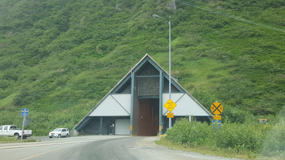
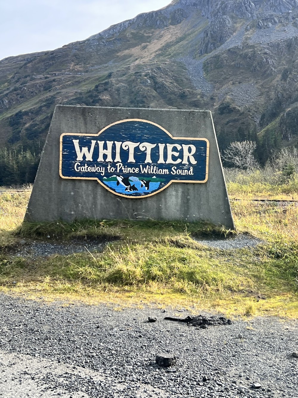
Whittier, AK
Elevation:
39ft
Sectional:
Anchorage
Activation date:
Oct 1974
Fuel:
None
Runway 04/22:
1,480ft
Access: Open to the public
Click/tap to add an annotation marker to the map
No webcams added yet.
Remarks
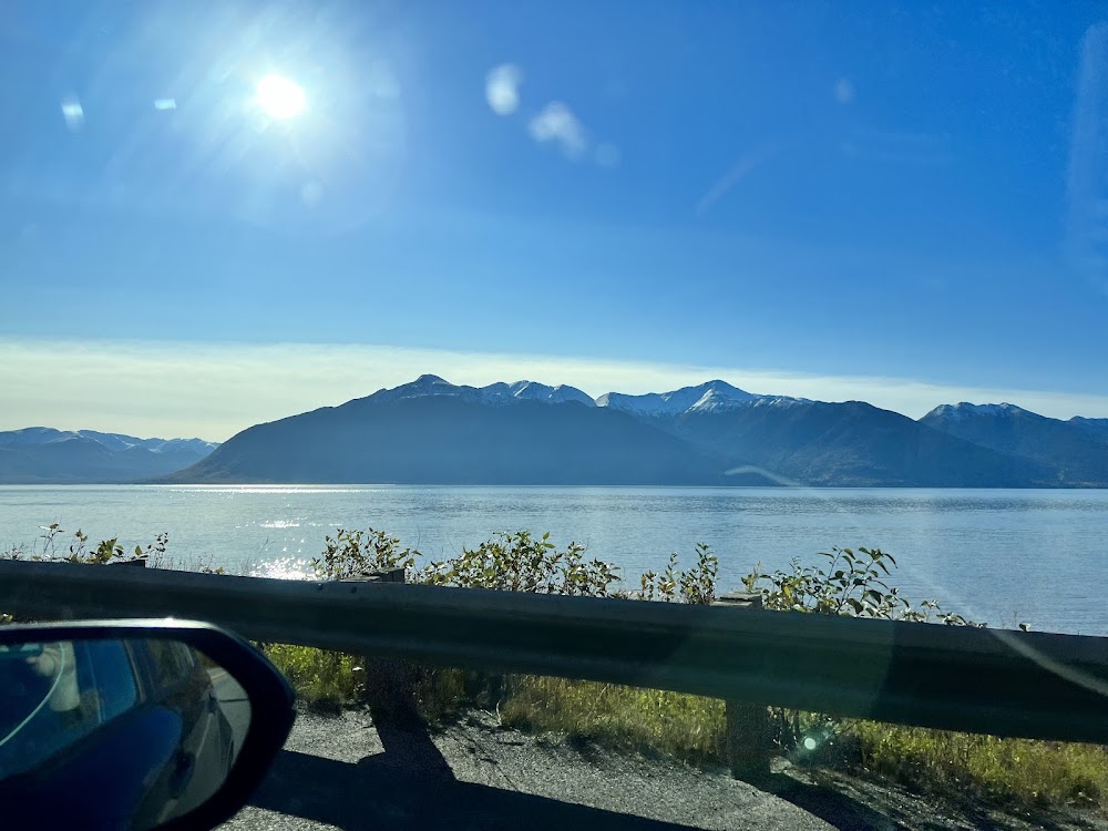
- Apch to ry 22 over water. distance from water to thld panels 205 ft.
- No scheduled maint. no winter maint. clsd from first snowfall til after breakup.
- When available hourly weather reports from portage visitor ctr. 135.45. located west side of portage pass.
- Ry condition not monitored. recommend visual inspection prior to ldg.
- Birds on and invof arpt.
- Ry 22 slopes up 2% from water.
- For tkof use ry 04 only; first 130 ft of ry 04 unusbl. pile of large rocks lctd apch end ry 04. for ldgs use ry 22 only; go around unlikely.
- Whittier and portage glacier wx camera avbl on internet at https://weathercams.faa.gov
Comments