Pirep is a free, collaborative database of all public and private airports. All pilots are welcome to contribute their local knowledge to any airport, no registration required.


Public
Undocumented
Edit Tags
No upcoming events. Is anything happening here soon?
Airport Statistics
- Airport map annotations
- Fuel pump location
- Tags
Location:
Hagerstown, IN
Elevation:
1,140ft
Sectional:
St Louis
Activation date:
May 2010
Fuel:
None
Runway H1:
50ft
Access: Open to the public
This airport is privately owned but open to the public.
Click/tap to add an annotation marker to the map
No webcams added yet.
Remarks
- Conduct all apchs on heading 360 deg and all deps on heading 180 deg.
- Ry h1 marked with stone markers.
- Slight terrain elevation rise south of helipad.
- Row of 37 ft tree 133 ft to the right and 51 ft trees 94 ft left of helipad running n & s along county road, marked withorangemarkers.
- Call ahead 765-624-8346/765-332-2495 due to limited parking.
- For cd ctc indianapolis apch at 317-227-5743.
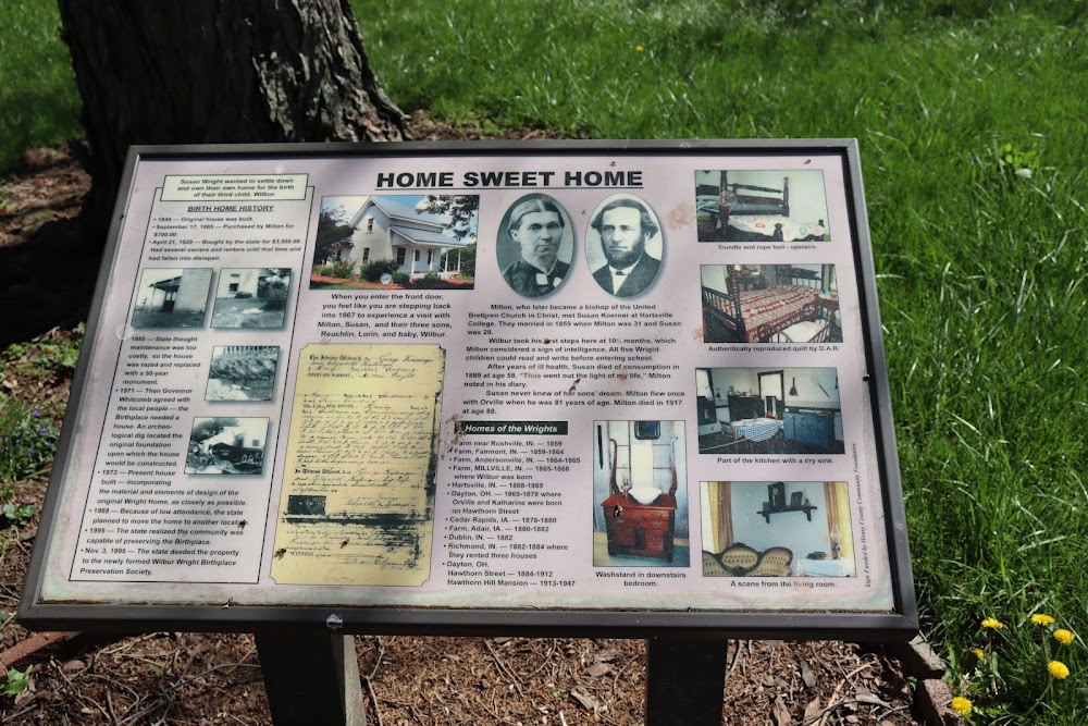
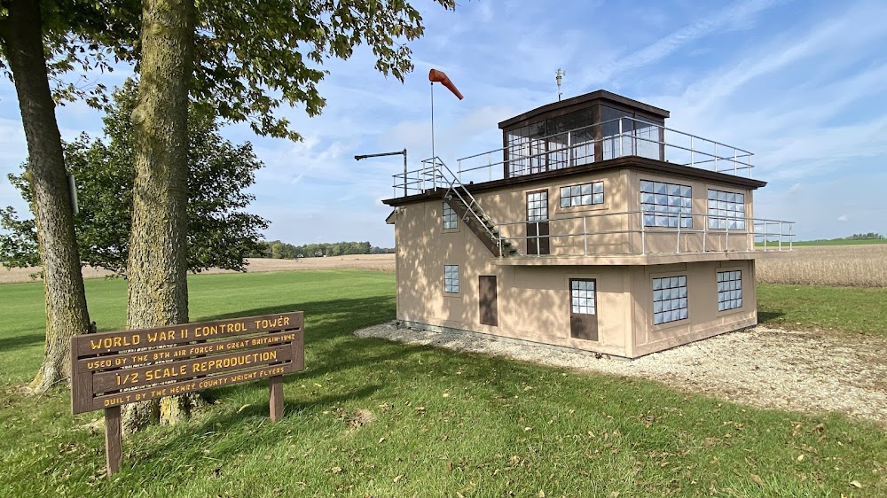
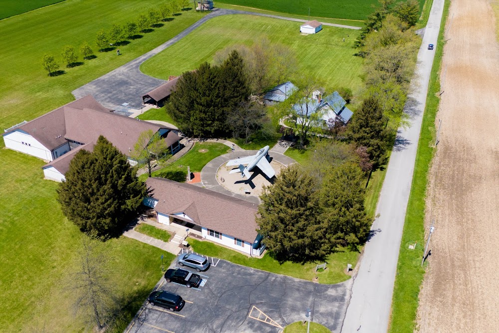
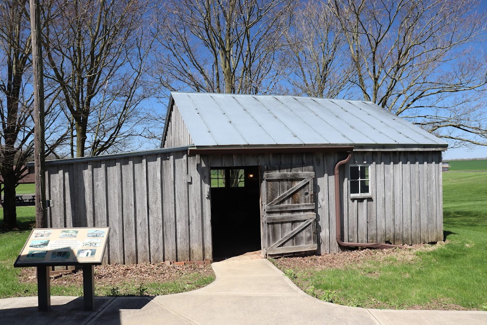
- Preservation center
Comments