Pirep is a free, collaborative database of all public and private airports. All pilots are welcome to contribute their local knowledge to any airport, no registration required.

Undocumented
METAR / TAF
Edit Tags
No upcoming events. Is anything happening here soon?
Airport Statistics
- Fuel pump location
- Tags
- Webcam links
Location:
Indian Springs, NV
Elevation:
3,134ft
Sectional:
Las Vegas
Fuel:
A1+ (prices)
Runway 08/26:
9,002ft
Runway 13/31:
5,476ft
Access: Private to everyone
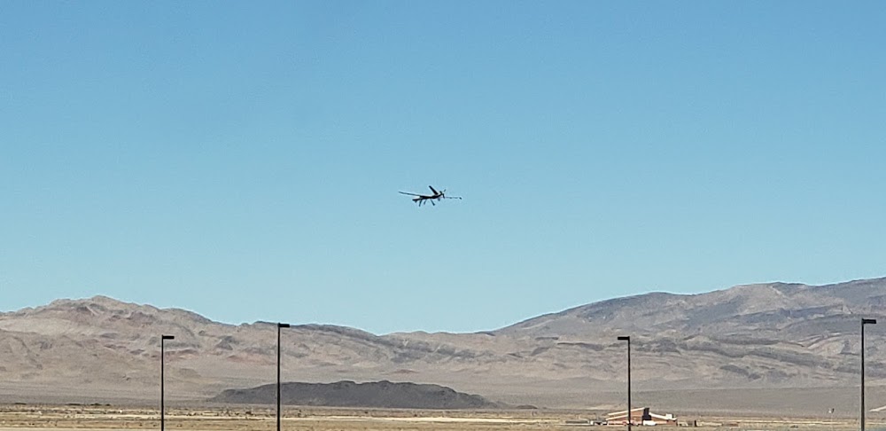
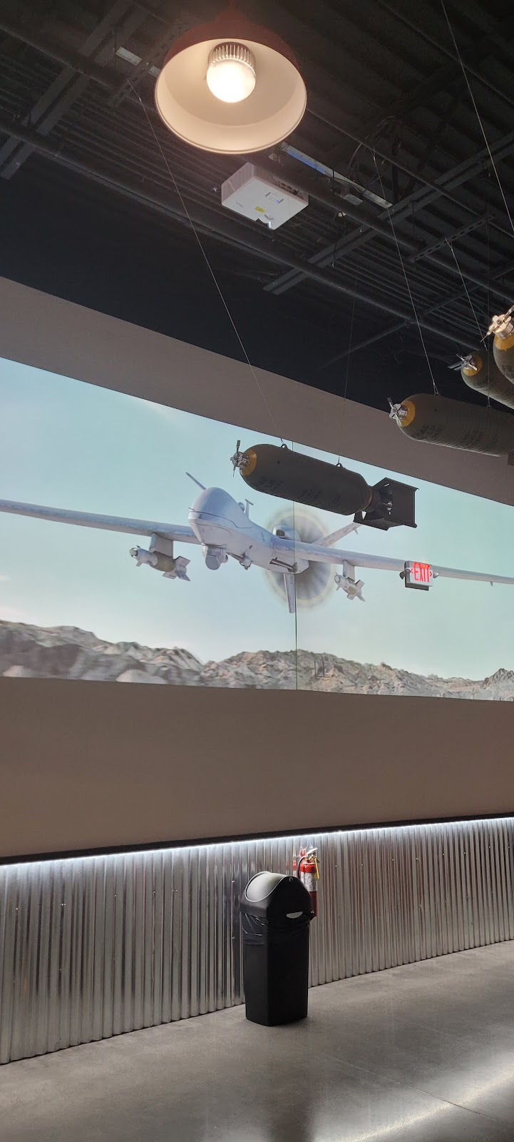
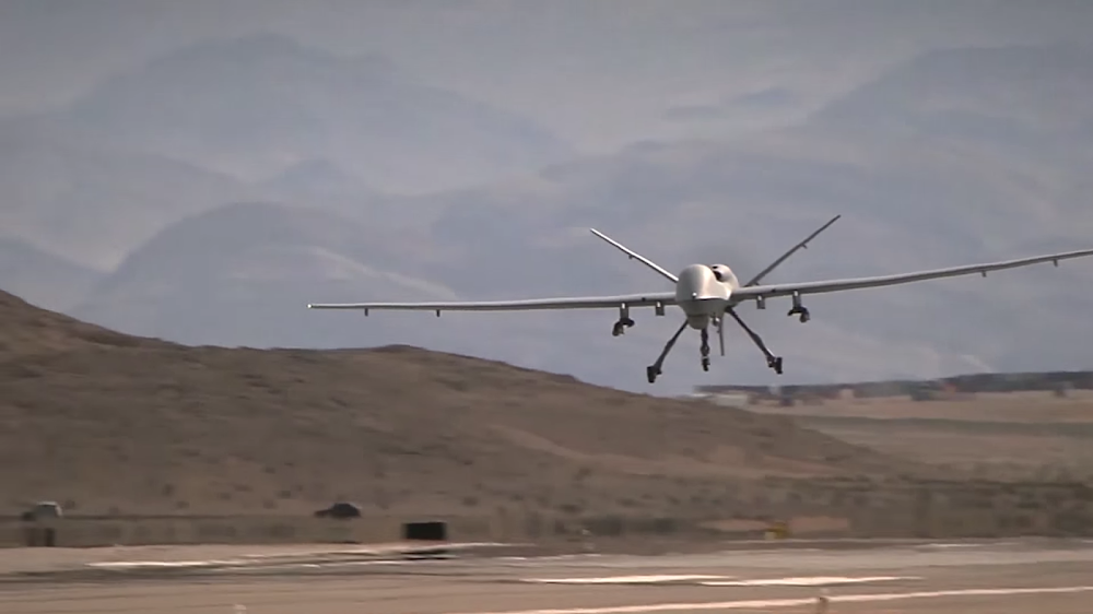
This is a military facility.
Current Weather — VFR
-
Weather data is strictly informational and not for flight planning purposes.
-
METAR2026-07-20 11:55:00 PDT
Ceiling: 10,000ft Wind: 360° @ 4kt Temperature: 97°F Dewpoint: 48°F Weather: N/A Visbility: 10SM Clouds: Broken @ 10,000ft, Overcast @ 13,000ft Raw:METAR KINS 201855Z 36004KT 10SM BKN100 OVC130 36/09 A2996 RMK AO2A LTG DSNT NE SLP083 T03630090 $ -
TAF2026-07-02 14:00:00 PDT – 2026-07-20 17:00:00 PDT
Ceiling: 9,000ft Wind: Variable, gusts 28kt Weather: Light thunderstorm rain Visbility: 4SM Clouds: Overcast @ 9,000ft Raw:TAF AMD KINS 201855Z 2019/2119 VRB12G21KT 9999 VCTS OVC100CB QNH2988INS TEMPO 0221/2024 VRB17G28KT 8000 -TSRA OVC090CB BECMG 2100/2101 25012KT 9999 NSW BKN120 QNH2987INS BECMG 2108/2109 VRB06KT 9999 SCT100 QNH2995INS BECMG 2116/2117 11012KT 9999 BKN120 QNH2994INS TX38/2023Z TN26/2113Z -
TAF2026-07-20 12:00:00 PDT – 2026-07-20 17:00:00 PDT
Ceiling: 10,000ft Wind: Variable, gusts 21kt Weather: Thunderstorm in vicinity Visbility: 6SM Clouds: Overcast @ 10,000ft Raw:TAF AMD KINS 201855Z 2019/2119 VRB12G21KT 9999 VCTS OVC100CB QNH2988INS TEMPO 0221/2024 VRB17G28KT 8000 -TSRA OVC090CB BECMG 2100/2101 25012KT 9999 NSW BKN120 QNH2987INS BECMG 2108/2109 VRB06KT 9999 SCT100 QNH2995INS BECMG 2116/2117 11012KT 9999 BKN120 QNH2994INS TX38/2023Z TN26/2113Z -
TAF2026-07-20 17:00:00 PDT – 2026-07-21 01:00:00 PDT
Ceiling: 12,000ft Wind: 250° @ 12kt Weather: N/A Visbility: 6SM Clouds: Broken @ 12,000ft Raw:TAF AMD KINS 201855Z 2019/2119 VRB12G21KT 9999 VCTS OVC100CB QNH2988INS TEMPO 0221/2024 VRB17G28KT 8000 -TSRA OVC090CB BECMG 2100/2101 25012KT 9999 NSW BKN120 QNH2987INS BECMG 2108/2109 VRB06KT 9999 SCT100 QNH2995INS BECMG 2116/2117 11012KT 9999 BKN120 QNH2994INS TX38/2023Z TN26/2113Z -
TAF2026-07-21 01:00:00 PDT – 2026-07-21 09:00:00 PDT
Ceiling: Sky clear Wind: Variable Weather: N/A Visbility: 6SM Clouds: Scattered @ 10,000ft Raw:TAF AMD KINS 201855Z 2019/2119 VRB12G21KT 9999 VCTS OVC100CB QNH2988INS TEMPO 0221/2024 VRB17G28KT 8000 -TSRA OVC090CB BECMG 2100/2101 25012KT 9999 NSW BKN120 QNH2987INS BECMG 2108/2109 VRB06KT 9999 SCT100 QNH2995INS BECMG 2116/2117 11012KT 9999 BKN120 QNH2994INS TX38/2023Z TN26/2113Z -
TAF2026-07-21 09:00:00 PDT – 2026-07-21 12:00:00 PDT
Ceiling: 12,000ft Wind: 110° @ 12kt Weather: N/A Visbility: 6SM Clouds: Broken @ 12,000ft Raw:TAF AMD KINS 201855Z 2019/2119 VRB12G21KT 9999 VCTS OVC100CB QNH2988INS TEMPO 0221/2024 VRB17G28KT 8000 -TSRA OVC090CB BECMG 2100/2101 25012KT 9999 NSW BKN120 QNH2987INS BECMG 2108/2109 VRB06KT 9999 SCT100 QNH2995INS BECMG 2116/2117 11012KT 9999 BKN120 QNH2994INS TX38/2023Z TN26/2113Z
Click/tap to add an annotation marker to the map
No webcams added yet.
Remarks
- Base ops opr h24 fr 0630z++ mon thru 0615z++ sat; clsd wkend and hol.
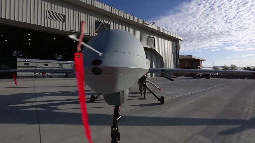
- Unmanned aerial vehicle 767 ft agl.
- (e117) usaf tactical fighter weapons training.
- (e137-04) numerous unlgtd hills wi 2 miles of arpt to 4000' msl.
- (e137-1) rwy cond: fair-good, smooth packed chad surface, no rocks.
- (e137-2) mountainous terrain all sides. no obstn lgts.
- (e137-3) jet lo alt hi speed weapons trng in progress immed n of ins at all hr.
- (e99) 1 helicopter hgr 60' x 60'.
Comments