Pirep is a free, collaborative database of all public and private airports. All pilots are welcome to contribute their local knowledge to any airport, no registration required.


Public
Undocumented
METAR / TAF
Edit Tags
No upcoming events. Is anything happening here soon?
Airport Statistics
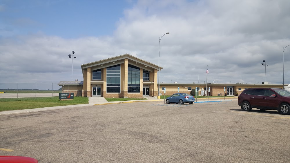
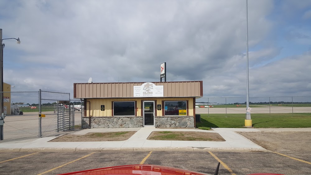
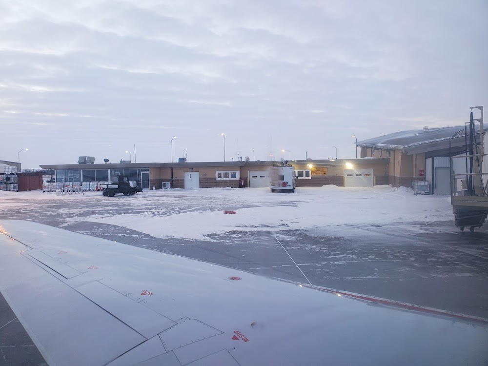
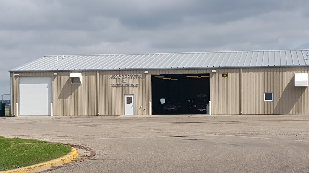
- Airport photos
- Fuel pump location
- WiFi availability
Location:
Jamestown, ND
Elevation:
1,499ft
Sectional:
Twin Cities
Activation date:
Mar 1938
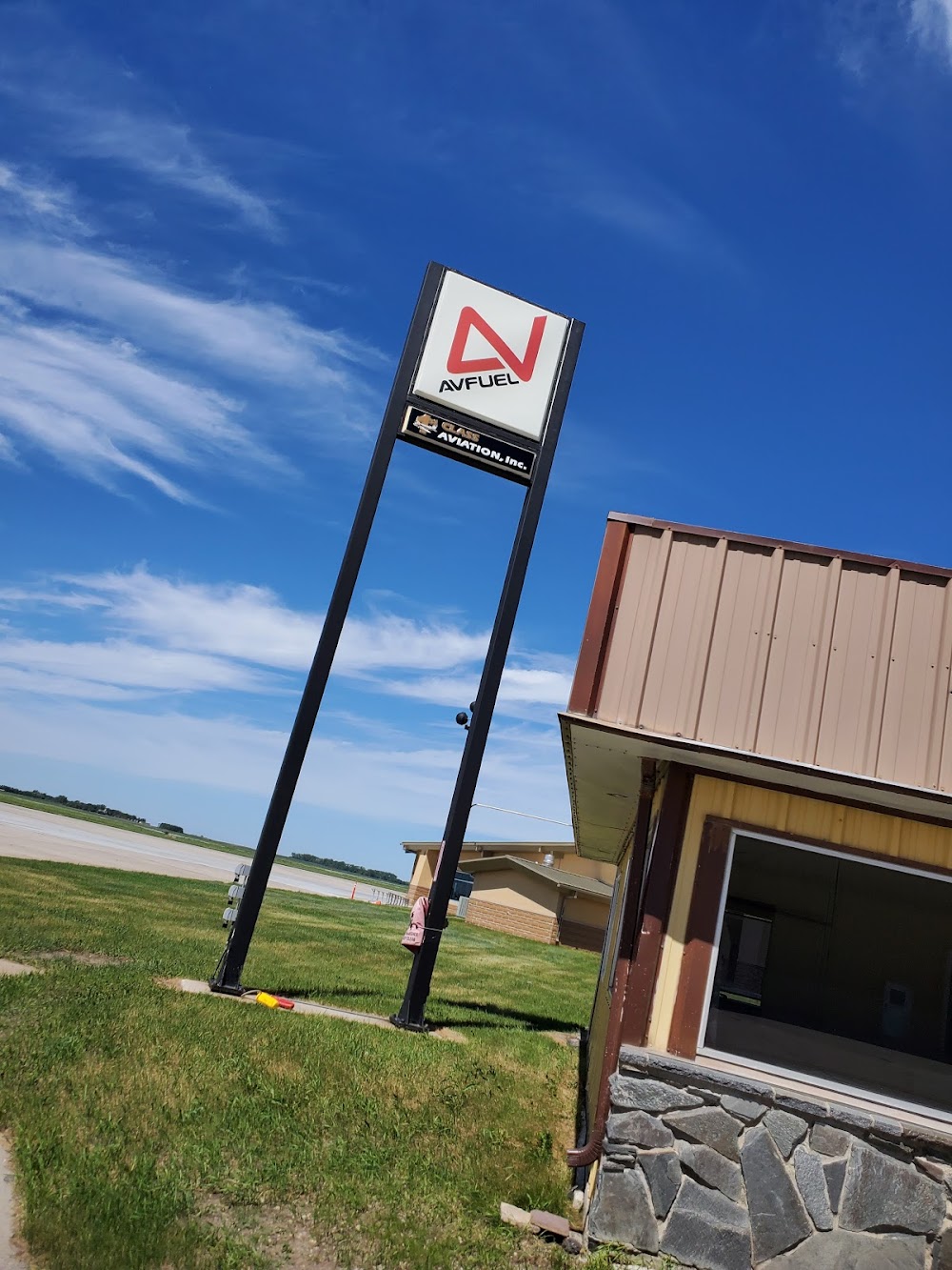
Fuel:
100LL, A (prices)
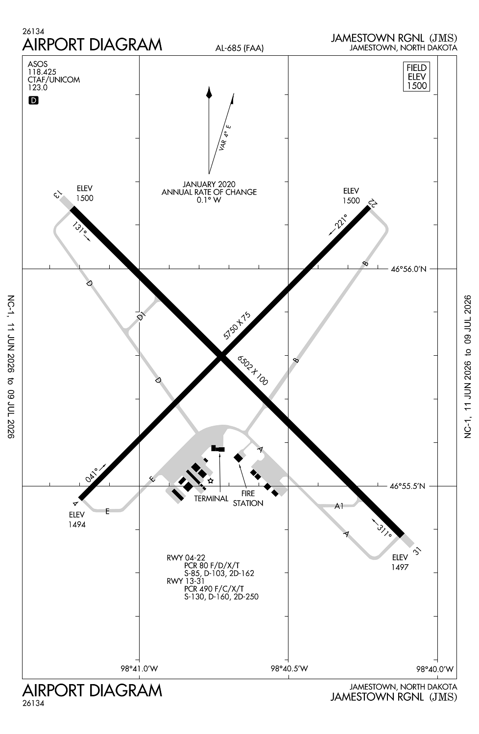
Runway 13/31:
6,502ft
Runway 04/22:
5,750ft
Access: Open to the public
Current Weather — VFR
-
Weather data is strictly informational and not for flight planning purposes.
-
METAR2026-07-16 10:56:00 CDT
Ceiling: Sky clear Wind: 150° @ 12kt Temperature: 82°F Dewpoint: 69°F Weather: N/A Visbility: 10SM Raw:METAR KJMS 161556Z AUTO 15012KT 10SM CLR 28/21 A2999 RMK AO2 SLP146 T02830206 -
TAF2026-07-16 07:00:00 CDT – 2026-07-16 11:00:00 CDT
Ceiling: Sky clear Wind: 120° @ 8kt Weather: N/A Visbility: 6SM Clouds: @ ft Raw:TAF KJMS 161129Z 1612/1712 12008KT P6SM SKC FM161600 15012KT P6SM FEW070 FEW250 FM170800 21008KT P6SM FEW090 SCT200 -
TAF2026-07-16 11:00:00 CDT – 2026-07-17 03:00:00 CDT
Ceiling: Sky clear Wind: 150° @ 12kt Weather: N/A Visbility: 6SM Clouds: Few @ 7,000ft, Few @ 25,000ft Raw:TAF KJMS 161129Z 1612/1712 12008KT P6SM SKC FM161600 15012KT P6SM FEW070 FEW250 FM170800 21008KT P6SM FEW090 SCT200 -
TAF2026-07-17 03:00:00 CDT – 2026-07-17 07:00:00 CDT
Ceiling: Sky clear Wind: 210° @ 8kt Weather: N/A Visbility: 6SM Clouds: Few @ 9,000ft, Scattered @ 20,000ft Raw:TAF KJMS 161129Z 1612/1712 12008KT P6SM SKC FM161600 15012KT P6SM FEW070 FEW250 FM170800 21008KT P6SM FEW090 SCT200
Click/tap to add an annotation marker to the map
No webcams added yet.
Remarks
- This airport has been surveyed by the national geodetic survey.
- 48 hrs ppr for unsked acr opns with more than 30 psgr seats call amgr 701-252-6466. acr ops involving acft with more than 9 psgrs not auzd in excess of 15 mins before or after sked arr/dep times without prior coordination with amgr and confirmation that arff is avbl prior to landing or takeoff.
- Index b arff available, 48 hrs ppr contact airport manager 701-252-6466.
- Birds on and invof arpt.
- Fbo fueling after hours phone 701-952-1515.
Comments