Pirep is a free, collaborative database of all public and private airports. All pilots are welcome to contribute their local knowledge to any airport, no registration required.
Public
Undocumented
METAR / TAF
Edit Tags
No upcoming events. Is anything happening here soon?
Airport Statistics
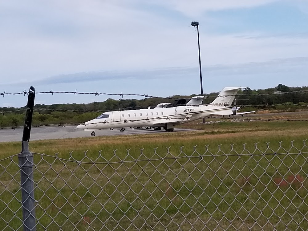
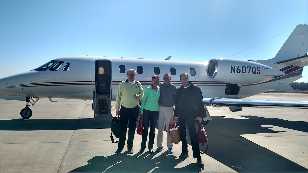
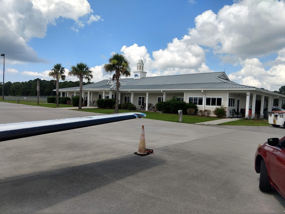
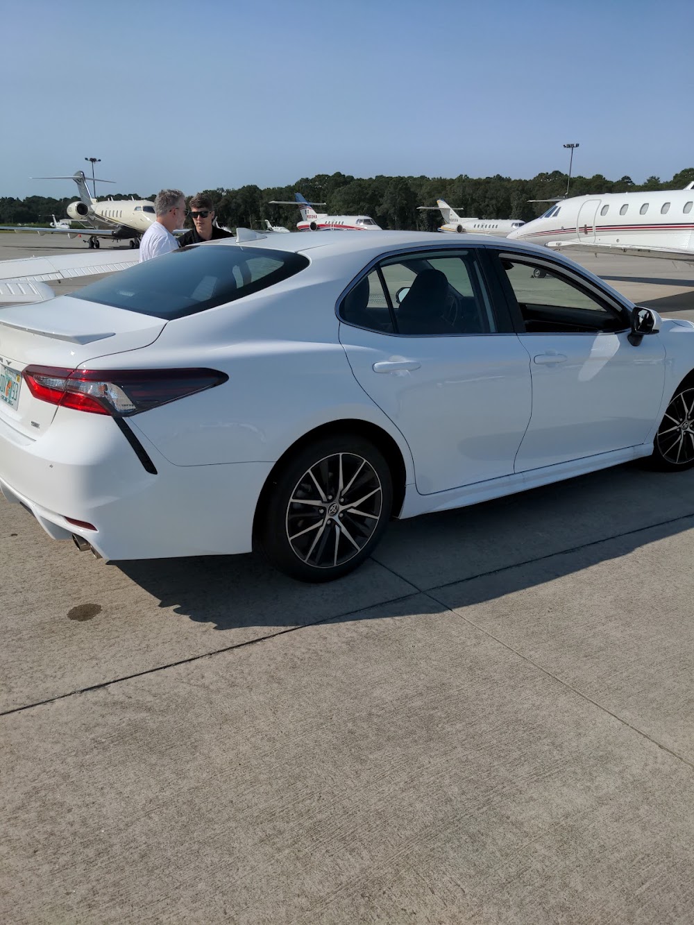
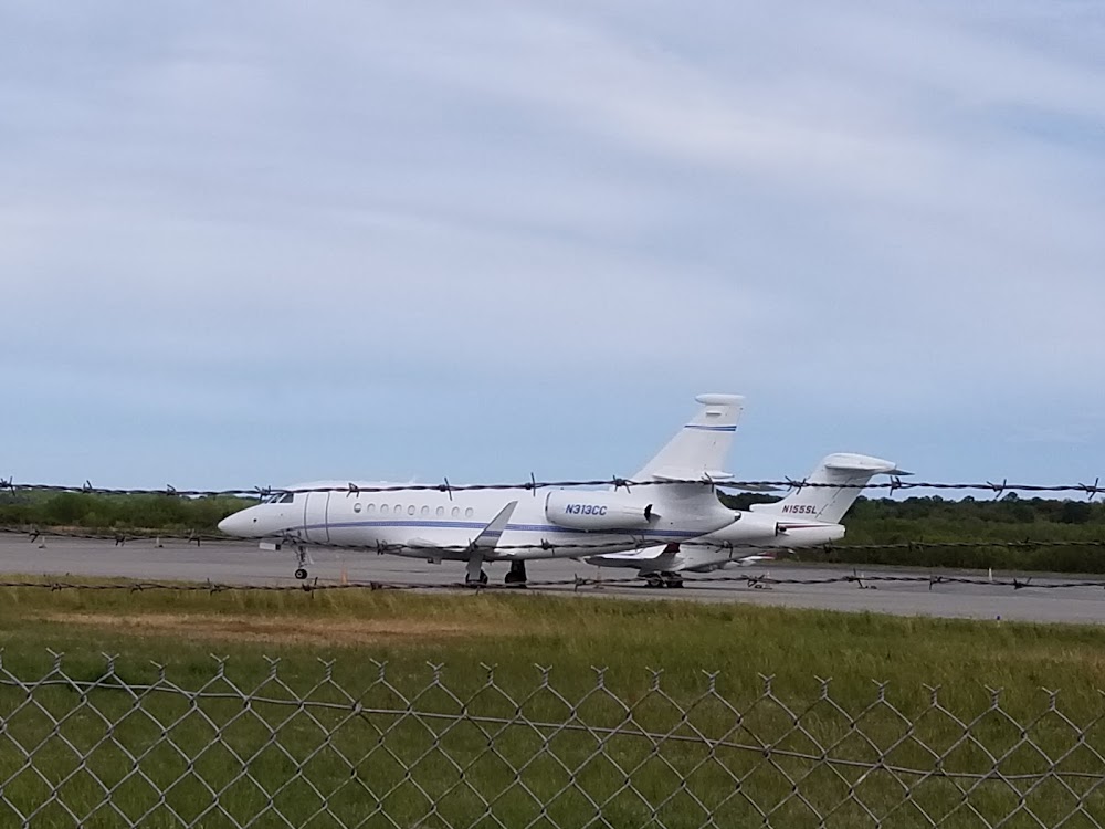
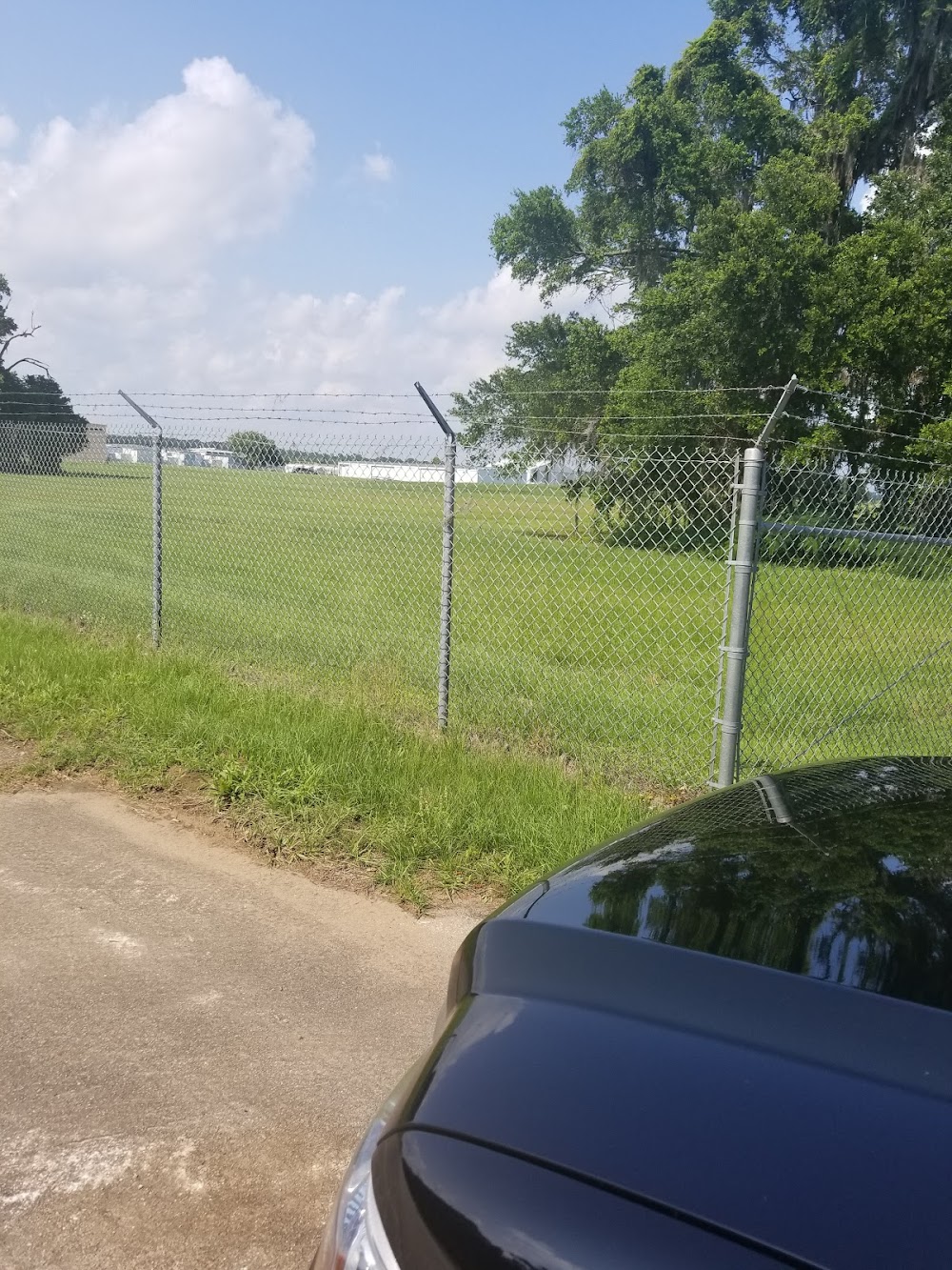
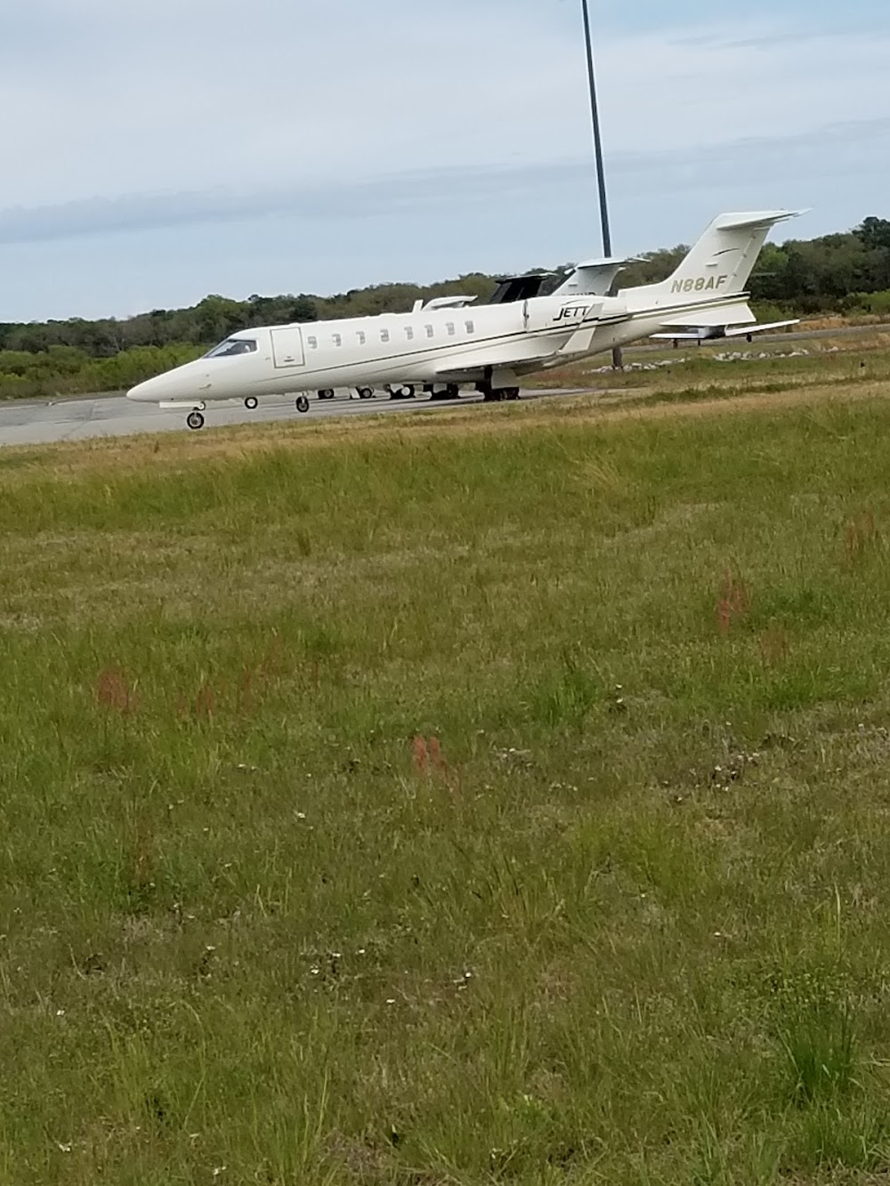
- Airport photos
- Crew car availability
- Fuel pump location
Location:
Charleston, SC
Elevation:
18ft
Sectional:
Charlotte
Activation date:
Apr 1943
Fuel:
100LL, A (prices)
Runway 09/27:
5,350ft
Runway 04/22:
4,313ft
Access: Open to the public
Current Weather — MVFR
-
Weather data is strictly informational and not for flight planning purposes.
-
METAR2026-07-16 05:15:00 EDT
Ceiling: Sky clear Wind: Calm Temperature: 77°F Dewpoint: 77°F Weather: Mist Visbility: 5SM Raw:METAR KJZI 160915Z AUTO 00000KT 5SM BR CLR 25/25 A3002 RMK AO2 -
TAF2026-07-16 02:00:00 EDT – 2026-07-16 14:00:00 EDT
Ceiling: Sky clear Wind: Variable Weather: N/A Visbility: 6SM Clouds: Scattered @ 2,500ft Raw:TAF KJZI 160537Z 1606/1706 VRB03KT P6SM SCT025 FM161800 19008KT P6SM SCT035 FM170200 21003KT P6SM FEW035 SCT250 -
TAF2026-07-16 14:00:00 EDT – 2026-07-16 22:00:00 EDT
Ceiling: Sky clear Wind: 190° @ 8kt Weather: N/A Visbility: 6SM Clouds: Scattered @ 3,500ft Raw:TAF KJZI 160537Z 1606/1706 VRB03KT P6SM SCT025 FM161800 19008KT P6SM SCT035 FM170200 21003KT P6SM FEW035 SCT250 -
TAF2026-07-16 22:00:00 EDT – 2026-07-17 02:00:00 EDT
Ceiling: Sky clear Wind: 210° @ 3kt Weather: N/A Visbility: 6SM Clouds: Few @ 3,500ft, Scattered @ 25,000ft Raw:TAF KJZI 160537Z 1606/1706 VRB03KT P6SM SCT025 FM161800 19008KT P6SM SCT035 FM170200 21003KT P6SM FEW035 SCT250
Click/tap to add an annotation marker to the map
No webcams added yet.
Remarks
- Arpt existed prior to 1958
- Deer & birds on & invof arpt.
- For cd ctc charleston apch at 843-414-2832.
- Sr-ss, to actvt and incr intst reil rwy 09 & 27; hirl rwy 09/27; mirl rwy 04/22 - ctaf. sr-ss, papi rwy 09 & 27 opr consly. ss-sr, reil rwy 09 & 27; papi rwy 09 & 27; hirl rwy 09/27 opr consly, to incr intst - ctaf. ss-sr, to actvt mirl rwy 04/22 - ctaf.
- Supplementary lgtd windcones rwys 04, 22, 09 & 27.
- Approach slope to displaced thr. is 50:1.
- Tree line 231 feet east of rwy 4 thld 21 feet high
Comments