Pirep is a free, collaborative database of all public and private airports. All pilots are welcome to contribute their local knowledge to any airport, no registration required.


Public
Undocumented
METAR / TAF
Webcam
Edit Tags
No upcoming events. Is anything happening here soon?
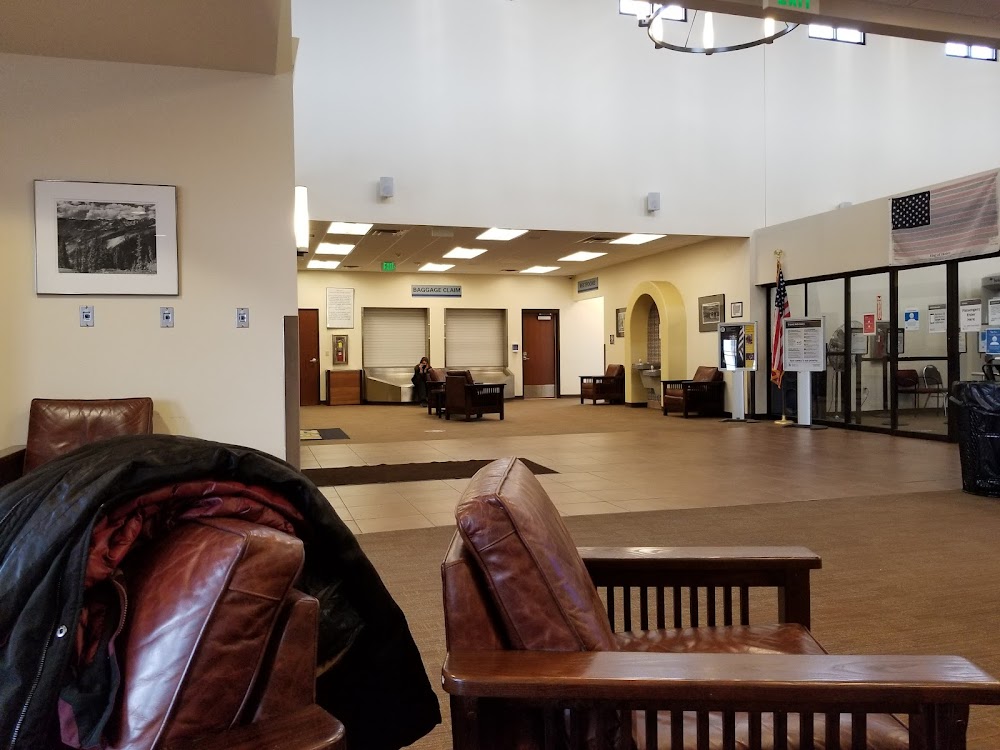
Airport Statistics
- General description
- Transient parking location
- WiFi availability
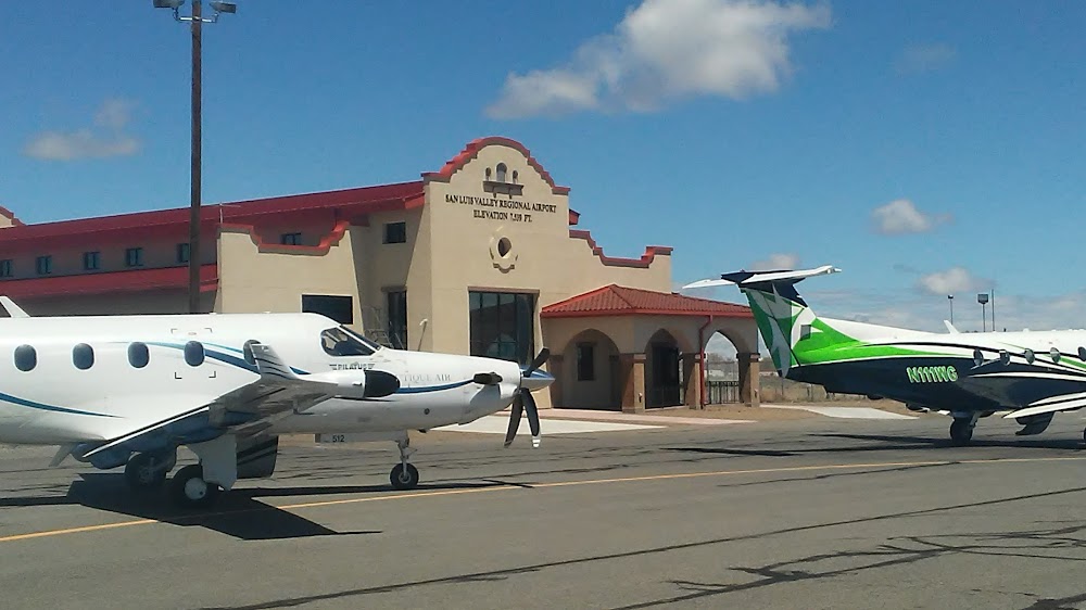
Location:
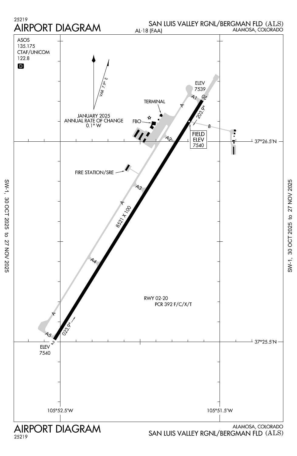
Alamosa, CO
Elevation:
7,539ft
Sectional:
Denver
Activation date:
Mar 1941
Fuel:
100LL, A (prices)
Runway 02/20:
8,521ft
Access: Open to the public
Click/tap to add an annotation marker to the map
Remarks
- Conds unmon at ngt aft last acr arr til 0600; see notams for conds.
- For cd ctc denver artcc on freq. if una, ctc fss on freq via rco. if una, ctc denver artcc at 303-651-4257.
- Ppr for unsked air carrier opns call arpt ops 719-588-4881 or 719-588-4871.
- Arff coverage provdd durg acr ops; otr times 24 hr ppr - arpt ops 719-588-4881/4871.
- Hop on & invof arpt.
Comments