Pirep is a free, collaborative database of all public and private airports. All pilots are welcome to contribute their local knowledge to any airport, no registration required.
Public
Undocumented
METAR / TAF
Edit Tags
No upcoming events. Is anything happening here soon?
Airport Statistics
- Tags
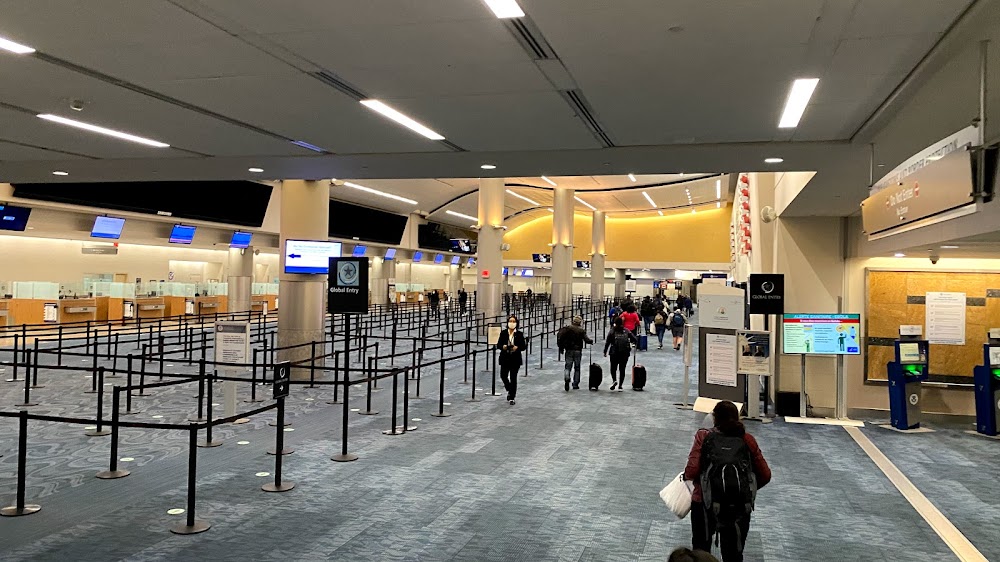
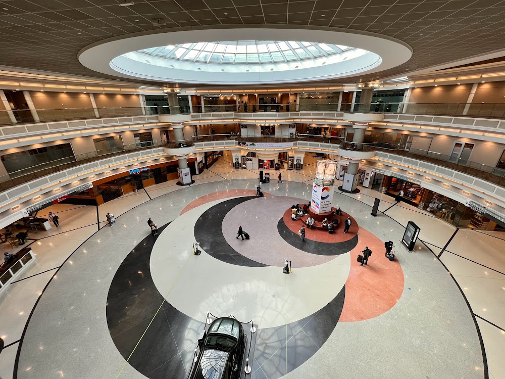
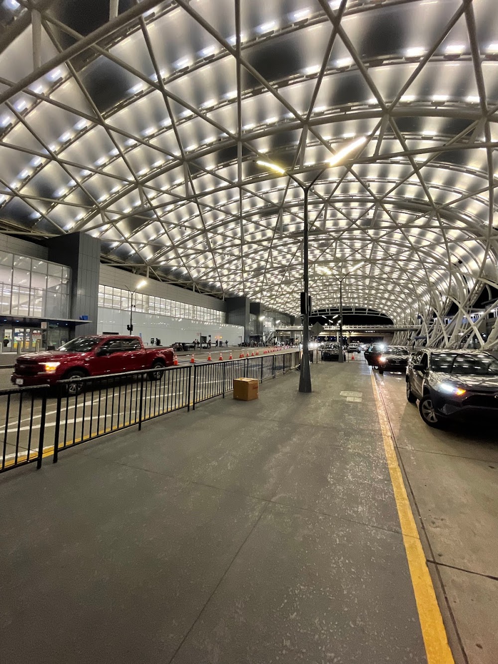
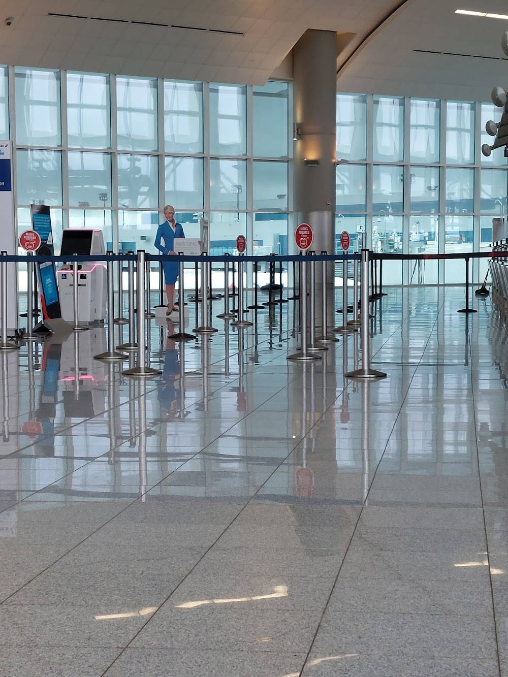
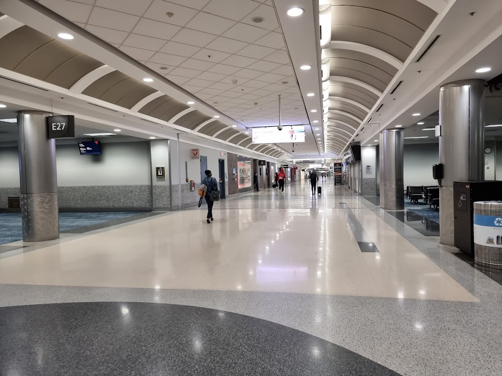
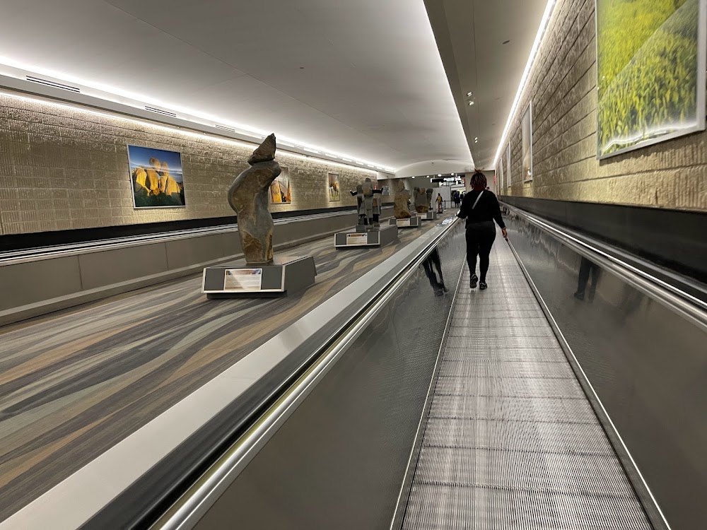
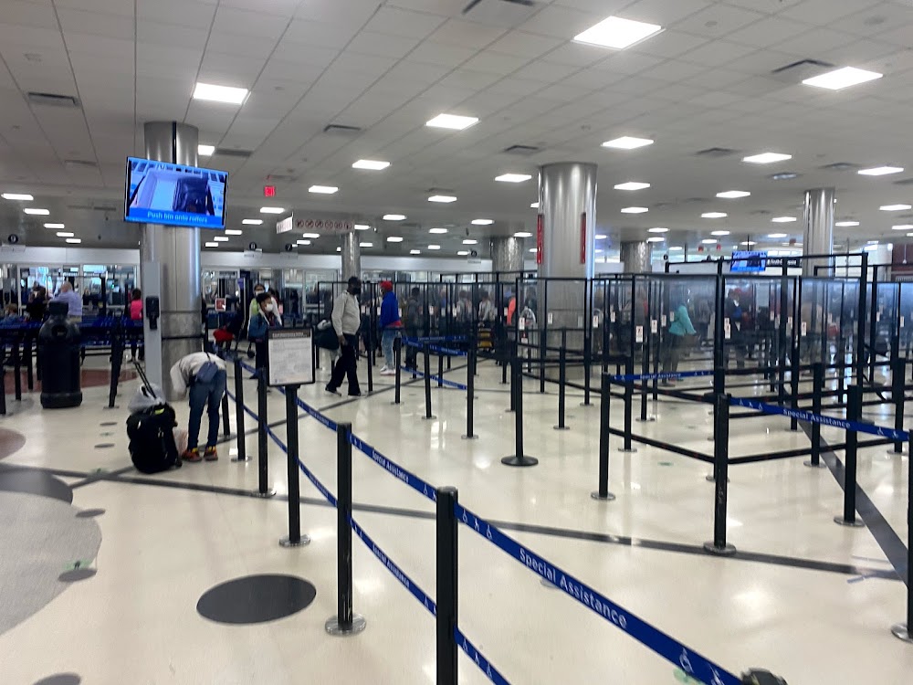
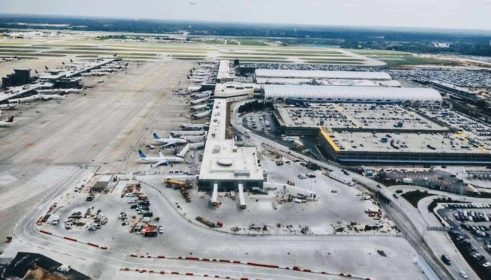
- Airport photos
- Landing & tie-down fees
Location:
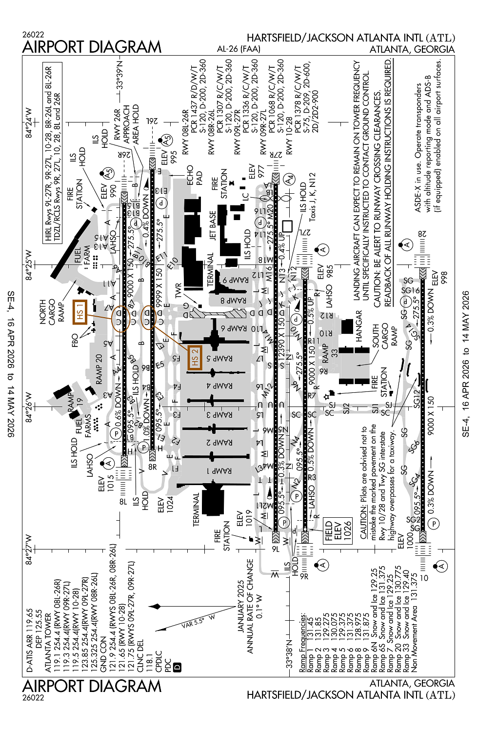
Atlanta, GA
Elevation:
1,026ft
Sectional:
Atlanta
Activation date:
Sep 1942
Fuel:
100, 100LL, A (prices)
Runway 09L/27R:
12,390ft
Runway 08R/26L:
9,999ft
Runway 08L/26R:
9,000ft
Runway 09R/27L:
9,000ft
Runway 10/28:
9,000ft
Access: Open to the public
Current Weather — VFR
-
Weather data is strictly informational and not for flight planning purposes.
-
METAR2026-04-25 10:52:00 EDT
Ceiling: 15,000ft Wind: 270° @ 11kt Temperature: 71°F Dewpoint: 59°F Weather: N/A Visbility: 10SM Clouds: Few @ 2,200ft, Scattered @ 8,000ft, Scattered @ 10,000ft, Overcast @ 15,000ft Raw:METAR KATL 251452Z 27011KT 10SM FEW022 SCT080 SCT100 OVC150 22/15 A2985 RMK AO2 SLP100 VIRGA OHD-S-W-NW T02170150 50001 $ -
TAF2026-04-25 10:00:00 EDT – 2026-04-25 13:00:00 EDT
Ceiling: 7,000ft Wind: 240° @ 5kt Weather: Showers in vicinity Visbility: 6SM Clouds: Scattered @ 1,200ft, Scattered @ 4,000ft, Broken @ 7,000ft Raw:TAF KATL 251354Z 2514/2618 24005KT P6SM VCSH SCT012 SCT040 BKN070 FM251700 23007KT P6SM -SHRA BKN035 PROB30 2519/2601 4SM -TSRA OVC025CB FM260200 25004KT P6SM SCT040 BKN120 FM260900 32004KT P6SM SCT015 SCT100 TEMPO 2610/2614 4SM BR BKN007 FM261500 34006KT P6SM SCT030 -
TAF2026-04-25 13:00:00 EDT – 2026-04-25 22:00:00 EDT
Ceiling: 3,500ft Wind: 230° @ 7kt Weather: Light rain showers Visbility: 6SM Clouds: Broken @ 3,500ft Raw:TAF KATL 251354Z 2514/2618 24005KT P6SM VCSH SCT012 SCT040 BKN070 FM251700 23007KT P6SM -SHRA BKN035 PROB30 2519/2601 4SM -TSRA OVC025CB FM260200 25004KT P6SM SCT040 BKN120 FM260900 32004KT P6SM SCT015 SCT100 TEMPO 2610/2614 4SM BR BKN007 FM261500 34006KT P6SM SCT030 -
TAF2026-04-25 15:00:00 EDT – 2026-04-25 21:00:00 EDT
Ceiling: 2,500ft Wind: 000° @ kt Weather: Light thunderstorm rain Visbility: 4SM Clouds: Overcast @ 2,500ft Raw:TAF KATL 251354Z 2514/2618 24005KT P6SM VCSH SCT012 SCT040 BKN070 FM251700 23007KT P6SM -SHRA BKN035 PROB30 2519/2601 4SM -TSRA OVC025CB FM260200 25004KT P6SM SCT040 BKN120 FM260900 32004KT P6SM SCT015 SCT100 TEMPO 2610/2614 4SM BR BKN007 FM261500 34006KT P6SM SCT030 -
TAF2026-04-25 22:00:00 EDT – 2026-04-26 05:00:00 EDT
Ceiling: 12,000ft Wind: 250° @ 4kt Weather: N/A Visbility: 6SM Clouds: Scattered @ 4,000ft, Broken @ 12,000ft Raw:TAF KATL 251354Z 2514/2618 24005KT P6SM VCSH SCT012 SCT040 BKN070 FM251700 23007KT P6SM -SHRA BKN035 PROB30 2519/2601 4SM -TSRA OVC025CB FM260200 25004KT P6SM SCT040 BKN120 FM260900 32004KT P6SM SCT015 SCT100 TEMPO 2610/2614 4SM BR BKN007 FM261500 34006KT P6SM SCT030 -
TAF2026-04-26 05:00:00 EDT – 2026-04-26 11:00:00 EDT
Ceiling: Sky clear Wind: 320° @ 4kt Weather: N/A Visbility: 6SM Clouds: Scattered @ 1,500ft, Scattered @ 10,000ft Raw:TAF KATL 251354Z 2514/2618 24005KT P6SM VCSH SCT012 SCT040 BKN070 FM251700 23007KT P6SM -SHRA BKN035 PROB30 2519/2601 4SM -TSRA OVC025CB FM260200 25004KT P6SM SCT040 BKN120 FM260900 32004KT P6SM SCT015 SCT100 TEMPO 2610/2614 4SM BR BKN007 FM261500 34006KT P6SM SCT030 -
TAF2026-04-26 06:00:00 EDT – 2026-04-26 10:00:00 EDT
Ceiling: 700ft Wind: 000° @ kt Weather: Mist Visbility: 4SM Clouds: Broken @ 700ft Raw:TAF KATL 251354Z 2514/2618 24005KT P6SM VCSH SCT012 SCT040 BKN070 FM251700 23007KT P6SM -SHRA BKN035 PROB30 2519/2601 4SM -TSRA OVC025CB FM260200 25004KT P6SM SCT040 BKN120 FM260900 32004KT P6SM SCT015 SCT100 TEMPO 2610/2614 4SM BR BKN007 FM261500 34006KT P6SM SCT030 -
TAF2026-04-26 11:00:00 EDT – 2026-04-26 14:00:00 EDT
Ceiling: Sky clear Wind: 340° @ 6kt Weather: N/A Visbility: 6SM Clouds: Scattered @ 3,000ft Raw:TAF KATL 251354Z 2514/2618 24005KT P6SM VCSH SCT012 SCT040 BKN070 FM251700 23007KT P6SM -SHRA BKN035 PROB30 2519/2601 4SM -TSRA OVC025CB FM260200 25004KT P6SM SCT040 BKN120 FM260900 32004KT P6SM SCT015 SCT100 TEMPO 2610/2614 4SM BR BKN007 FM261500 34006KT P6SM SCT030
Click/tap to add an annotation marker to the map
No webcams added yet.
Remarks
- Rotg bcn lctd s of twy r7, n of twy sj2 nr fire station.
- Be alert to rwy crossing clearances. readback of all rwy holding instructions is required.
- Preferential rwy use in effect, expect to use rwys 08r/26l, 09l/27r for deps; rwys 08l/26r, 09r/27l are used primarily for arrivals.
- Runups are permitted at various sites; coord use of city facs, movement areas, allowable non-movement areas with dept of avn opns, 404-787-6095; and coord the use of the airlines facs with them.
- Noise & opns monitoring system (noms) program in effect; call the atlanta dept of aviation 770-43-noise or 770-436-6473 for more info.
Comments