Pirep is a free, collaborative database of all public and private airports. All pilots are welcome to contribute their local knowledge to any airport, no registration required.
No upcoming events. Is anything happening here soon?
Last updated: 2024-03-12 20:11:29 PDT
Airport Statistics
- General description
- Landing & tie-down fees
- WiFi availability
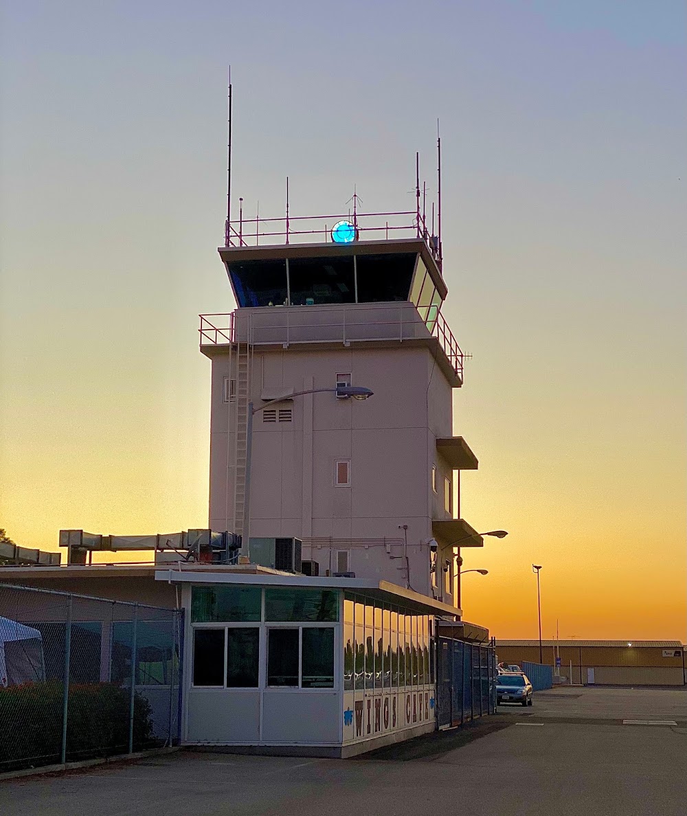
Location:
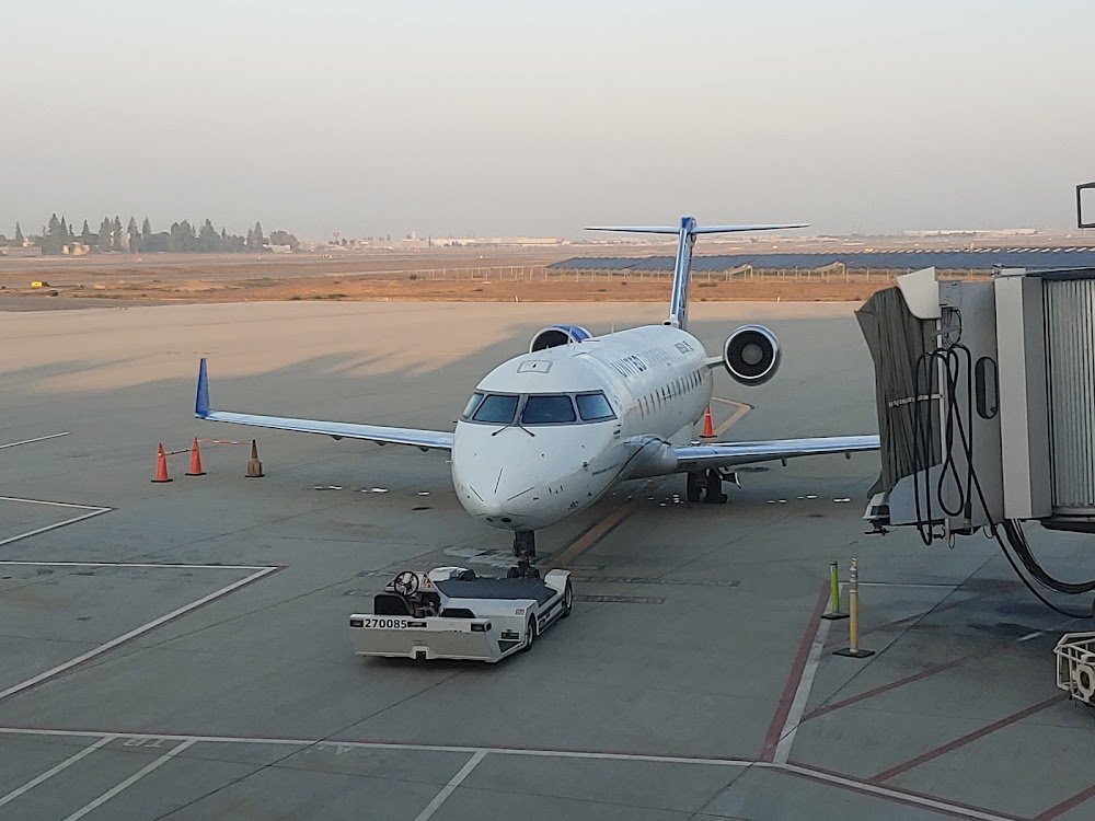
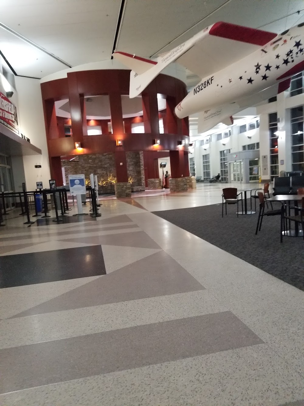
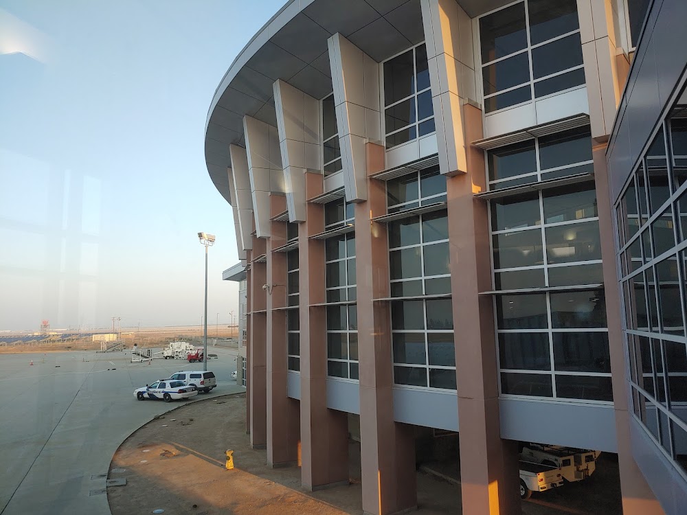
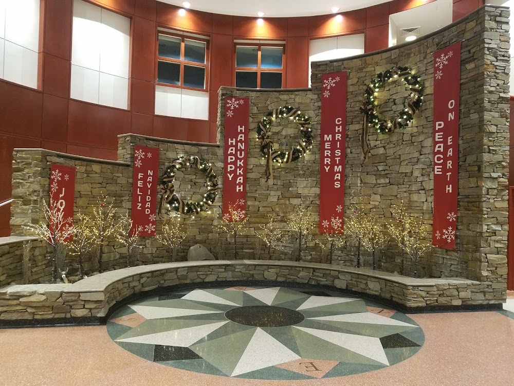
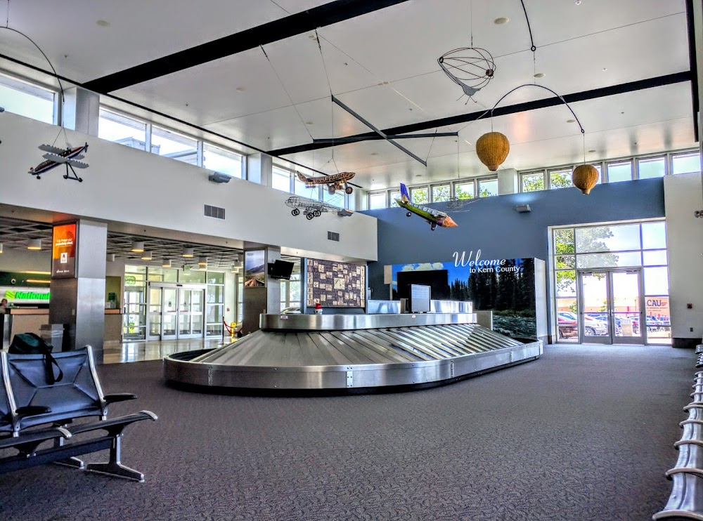
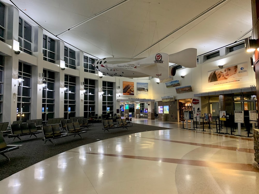
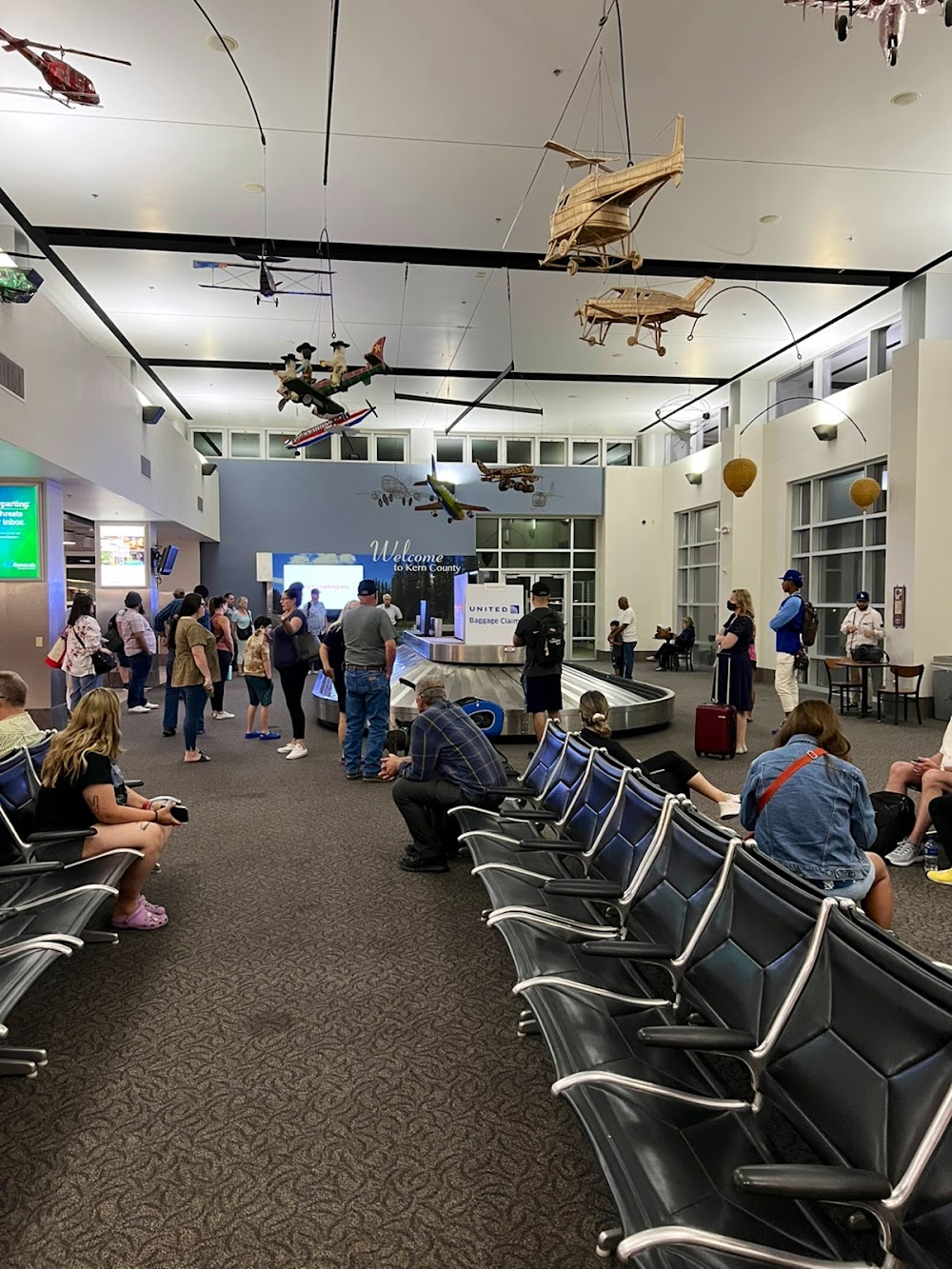
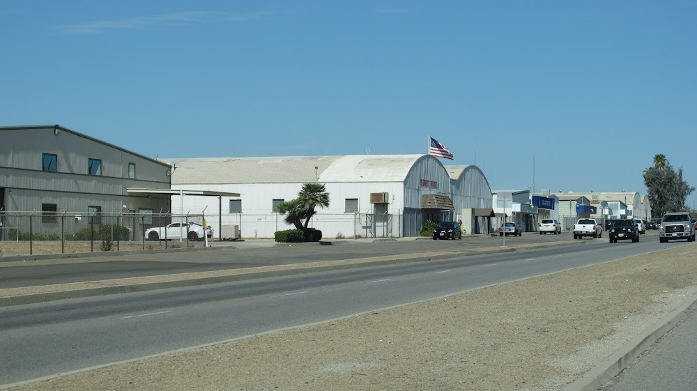
Bakersfield, CA
Elevation:
509ft
Sectional:
Los Angeles
Activation date:
Apr 1940
Fuel:
100, 100LL, A (prices)
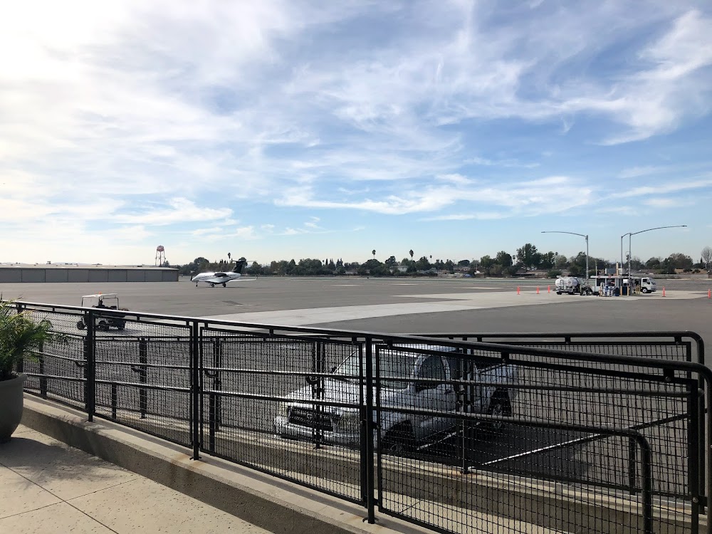
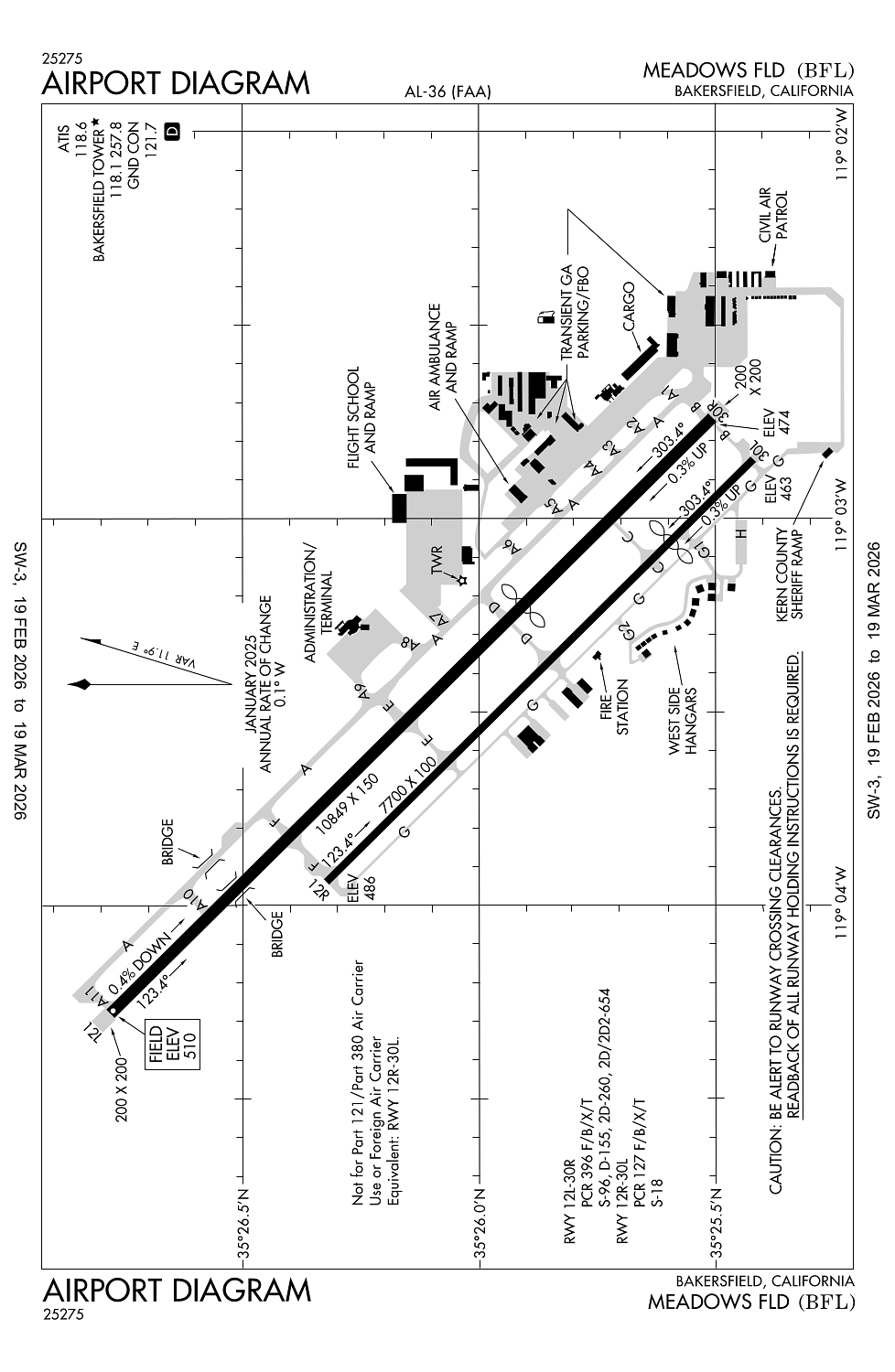
Runway 12L/30R:
10,849ft
Runway 12R/30L:
7,700ft
Access: Open to the public
Similar Airports
Current Weather — VFR
-
Weather data is strictly informational and not for flight planning purposes.
-
METAR2026-03-13 10:54:00 PDT
Ceiling: Sky clear Wind: Variable Temperature: 69°F Dewpoint: 46°F Weather: N/A Visbility: 9SM Raw:METAR KBFL 131754Z VRB03KT 9SM CLR 21/08 A3012 RMK AO2 SLP195 T02110083 10211 20100 58000 -
TAF2026-03-13 11:00:00 PDT – 2026-03-14 11:00:00 PDT
Ceiling: Sky clear Wind: Variable Weather: N/A Visbility: 6SM Clouds: @ ft Raw:TAF KBFL 131720Z 1318/1418 VRB04KT P6SM SKC
Click/tap to add an annotation marker to the map
No webcams added yet.
Remarks
- Index c arff available
- Mil helicopters make all apchs to ry or paved areas. minimize hovering & power to avoid causing blowing dust; wheeled helicopters gnd taxi only. formation join-up aft dep only.
- Cap squadron on arpt.
- Right base opns for ry 30r establish wings level on final apch no lower than 300 ft agl.
- Noise sensitive areas s & e of arpt recommended turbojet trng hrs wkday 0800-2200 wkends 1200-2200; no more than ten practice apchs per hr.
Comments