Pirep is a free, collaborative database of all public and private airports. All pilots are welcome to contribute their local knowledge to any airport, no registration required.
No upcoming events. Is anything happening here soon?
Last updated: 2024-01-29 22:50:24 EST
Airport Statistics
- General description
- Airport map annotations
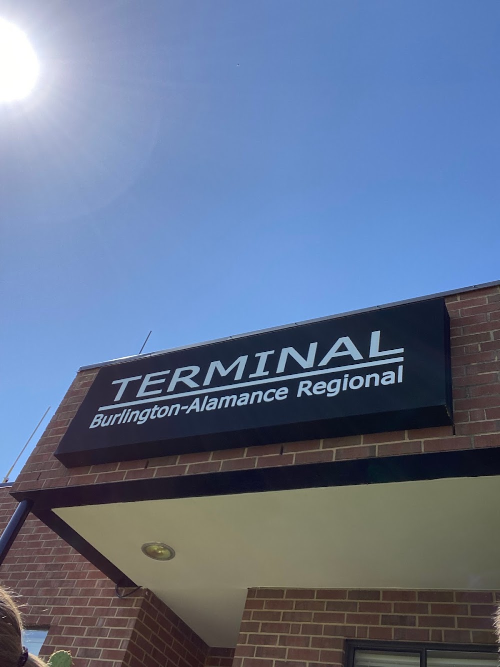
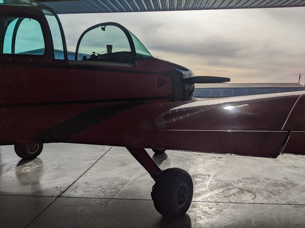
- Airport photos
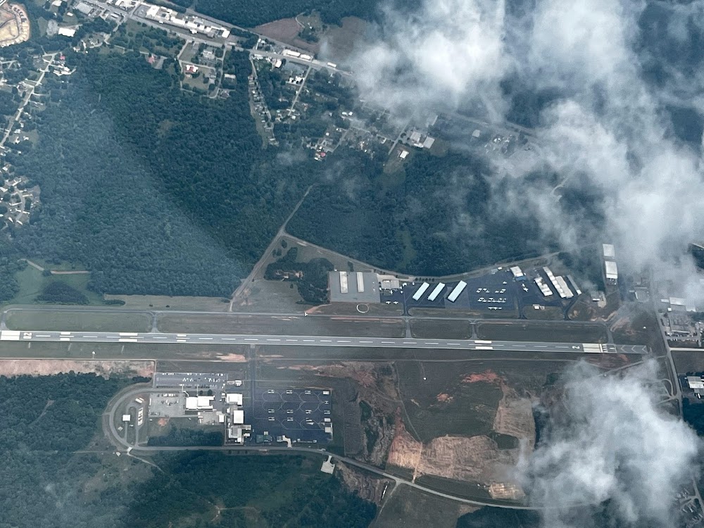
Location:
Bluefield, WV
Elevation:
2,856ft
Sectional:
Cincinnati
Activation date:
May 1954
Fuel:
100LL, A, A+ (prices)
Runway 05/23:
4,743ft
Access: Open to the public
Similar Airports
Current Weather — VFR
-
Weather data is strictly informational and not for flight planning purposes.
-
METAR2025-12-13 17:52:00 EST
Ceiling: Sky clear Wind: 300° @ 6kt Temperature: 35°F Dewpoint: 30°F Weather: N/A Visbility: 10SM Raw:METAR KBLF 132252Z AUTO 30006KT 10SM CLR 02/M01 A2999 RMK AO2 SLP169 T00171006 -
TAF2025-12-13 19:00:00 EST – 2025-12-13 21:00:00 EST
Ceiling: 10,000ft Wind: 290° @ 8kt Weather: N/A Visbility: 6SM Clouds: Scattered @ 800ft, Broken @ 10,000ft Raw:TAF KBLF 132320Z 1400/1424 29008KT P6SM SCT008 BKN100 FM140200 27005KT P6SM OVC008 FM140400 28006KT 2SM -SN BR OVC005 FM140900 31011G20KT 2SM -SN BR OVC006 FM141500 32012G24KT 5SM -SHSN OVC011 FM142000 32015G30KT P6SM BKN020 -
TAF2025-12-13 21:00:00 EST – 2025-12-13 23:00:00 EST
Ceiling: 800ft Wind: 270° @ 5kt Weather: N/A Visbility: 6SM Clouds: Overcast @ 800ft Raw:TAF KBLF 132320Z 1400/1424 29008KT P6SM SCT008 BKN100 FM140200 27005KT P6SM OVC008 FM140400 28006KT 2SM -SN BR OVC005 FM140900 31011G20KT 2SM -SN BR OVC006 FM141500 32012G24KT 5SM -SHSN OVC011 FM142000 32015G30KT P6SM BKN020 -
TAF2025-12-13 23:00:00 EST – 2025-12-14 04:00:00 EST
Ceiling: 500ft Wind: 280° @ 6kt Weather: Light snow, mist Visbility: 2SM Clouds: Overcast @ 500ft Raw:TAF KBLF 132320Z 1400/1424 29008KT P6SM SCT008 BKN100 FM140200 27005KT P6SM OVC008 FM140400 28006KT 2SM -SN BR OVC005 FM140900 31011G20KT 2SM -SN BR OVC006 FM141500 32012G24KT 5SM -SHSN OVC011 FM142000 32015G30KT P6SM BKN020 -
TAF2025-12-14 04:00:00 EST – 2025-12-14 10:00:00 EST
Ceiling: 600ft Wind: 310° @ 11kt, gusts 20kt Weather: Light snow, mist Visbility: 2SM Clouds: Overcast @ 600ft Raw:TAF KBLF 132320Z 1400/1424 29008KT P6SM SCT008 BKN100 FM140200 27005KT P6SM OVC008 FM140400 28006KT 2SM -SN BR OVC005 FM140900 31011G20KT 2SM -SN BR OVC006 FM141500 32012G24KT 5SM -SHSN OVC011 FM142000 32015G30KT P6SM BKN020 -
TAF2025-12-14 10:00:00 EST – 2025-12-14 15:00:00 EST
Ceiling: 1,100ft Wind: 320° @ 12kt, gusts 24kt Weather: Light snow showers Visbility: 5SM Clouds: Overcast @ 1,100ft Raw:TAF KBLF 132320Z 1400/1424 29008KT P6SM SCT008 BKN100 FM140200 27005KT P6SM OVC008 FM140400 28006KT 2SM -SN BR OVC005 FM140900 31011G20KT 2SM -SN BR OVC006 FM141500 32012G24KT 5SM -SHSN OVC011 FM142000 32015G30KT P6SM BKN020 -
TAF2025-12-14 15:00:00 EST – 2025-12-14 19:00:00 EST
Ceiling: 2,000ft Wind: 320° @ 15kt, gusts 30kt Weather: N/A Visbility: 6SM Clouds: Broken @ 2,000ft Raw:TAF KBLF 132320Z 1400/1424 29008KT P6SM SCT008 BKN100 FM140200 27005KT P6SM OVC008 FM140400 28006KT 2SM -SN BR OVC005 FM140900 31011G20KT 2SM -SN BR OVC006 FM141500 32012G24KT 5SM -SHSN OVC011 FM142000 32015G30KT P6SM BKN020
Click/tap to add an annotation marker to the map
No webcams added yet.
Remarks
- Rotary wing repairs only. fixed wing rprs avbl on call, ctc amgr.
- Mowing in progress apr-nov all sfcs.
- Deer & birds on & invof arpt.
- Rwy 23 has steep drop-off 320 ft fm thr 0b, 280 ft l and r.
- Rwy 05 has steep drop-off 175 ft fm thr l side.
- For cd if una to ctc on fss freq, ctc indianapolis artcc at 317-247-2411.
- Actvt reil rwy 05 & 23; papi rwy 05 & 23; hirl rwy 05/23; twy lights - ctaf.
- Rotary wing repairs only. fixed wing rprs avbl on call, ctc amgr.
Comments