Pirep is a free, collaborative database of all public and private airports. All pilots are welcome to contribute their local knowledge to any airport, no registration required.


Public
Undocumented
METAR / TAF
Edit Tags
No upcoming events. Is anything happening here soon?
Airport Statistics
- Transient parking location
- Tags
- Crew car availability
Location:
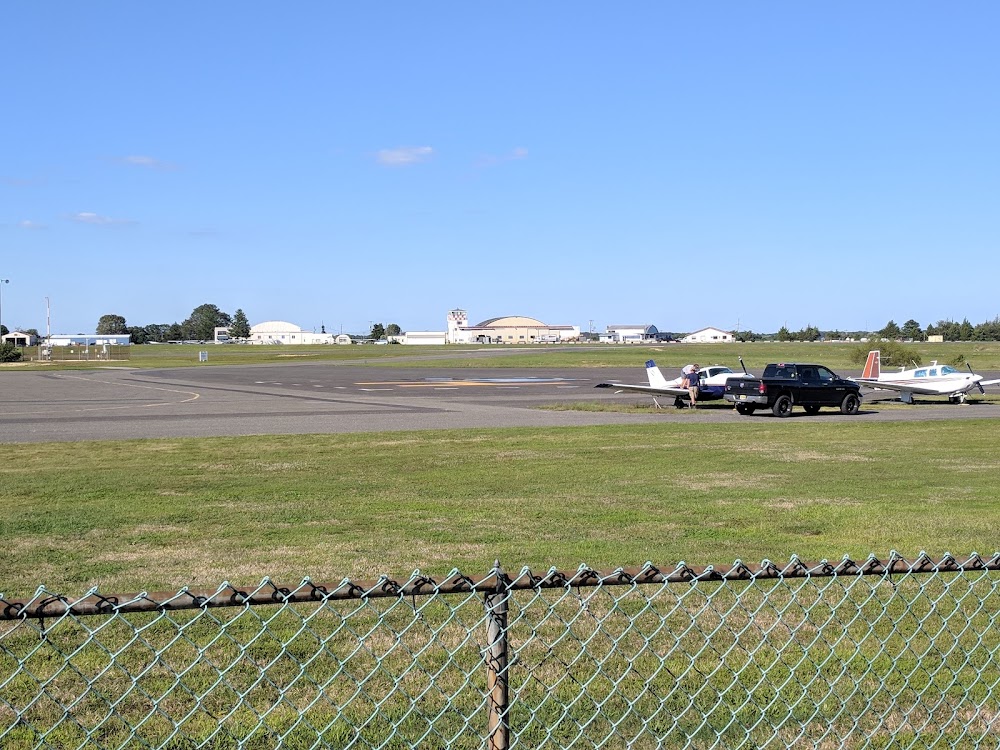
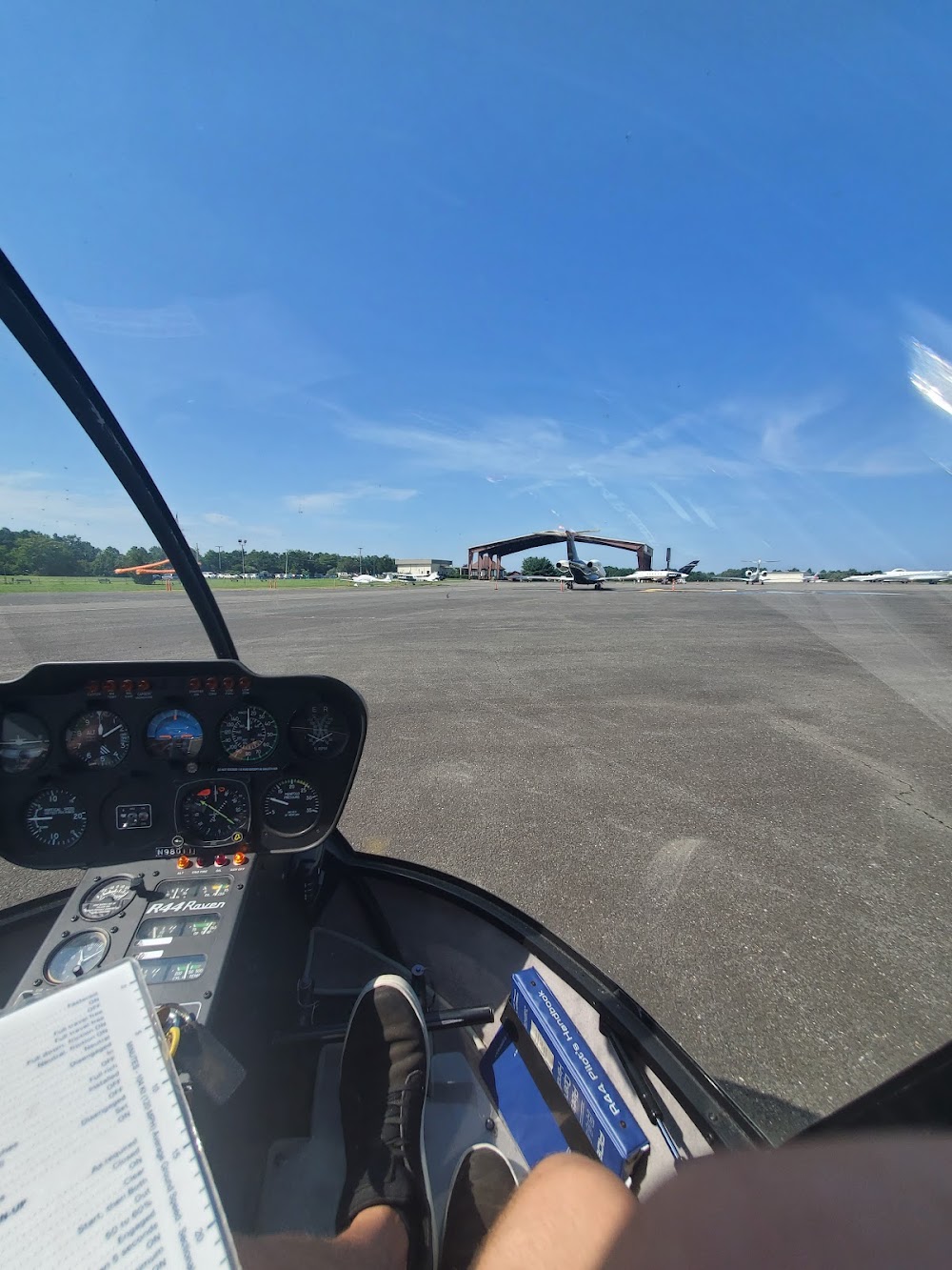
Belmar/Farmingdale, NJ
Elevation:
153ft
Sectional:
New York
Activation date:
Mar 1946
Fuel:
100LL, A (prices)
Runway 14/32:
7,345ft
Runway 03/21:
3,508ft
Access: Open to the public
This airport is privately owned but open to the public.
Current Weather — VFR
-
Weather data is strictly informational and not for flight planning purposes.
-
METAR2026-04-05 13:56:00 EDT
Ceiling: 6,000ft Wind: 220° @ 4kt Temperature: 59°F Dewpoint: °F Weather: Rain Visbility: 7SM Clouds: Few @ 5,000ft, Overcast @ 6,000ft Raw:METAR KBLM 051756Z AUTO 22004KT 7SM RA FEW050 OVC060 15/ A2985 RMK AO2 SLP110 6//// T0150 10233 20089 53010 PNO $
Click/tap to add an annotation marker to the map
No webcams added yet.
Remarks
- Arpt estab 1938.
- No touch & go landings fri; sat; sun.
- Deer & birds on & invof arpt.
- Ry 14/32 non-std twy separation 185 ft.
- Berm 36 ft high; north ry 14/32 65 ft from cntrln.
- Twys nstd markings. ry hold markings on twys nstd placement. twy lines do not ensure wing tip/rotor clearance at nw end of parallel twy.
- No helicopter activity ne of ry 14. helicopter instruction by pre-arrangement only 732-938-4800.
- For cd ctc mc guire apch via freq, if una call 609-754-2767.
Comments