Pirep is a free, collaborative database of all public and private airports. All pilots are welcome to contribute their local knowledge to any airport, no registration required.
Public
Undocumented
METAR / TAF
Edit Tags
No upcoming events. Is anything happening here soon?
Airport Statistics
- WiFi availability
- General description
- Fuel pump location
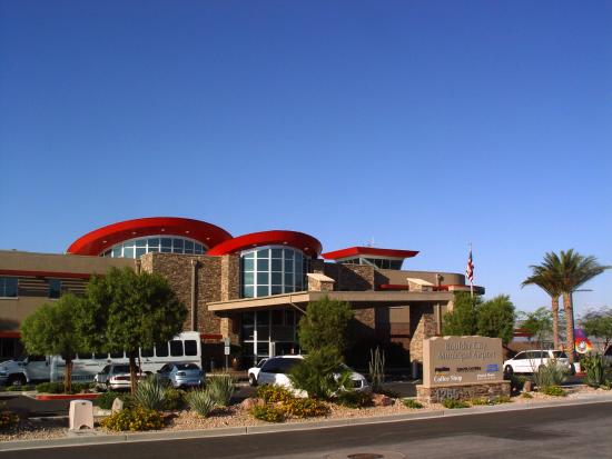
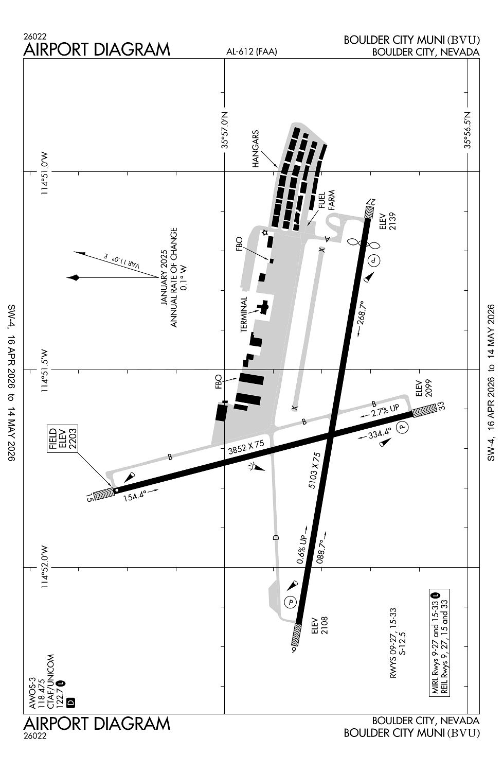
Location:
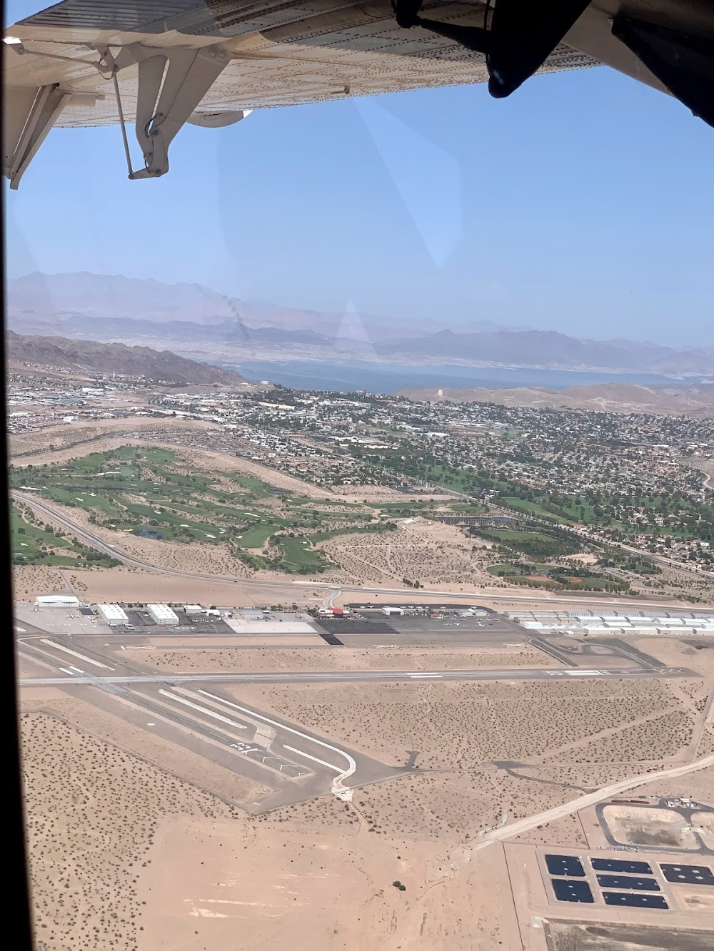
Boulder City, NV
Elevation:
2,203ft
Sectional:
Las Vegas
Activation date:
Aug 1990
Fuel:
100LL, A (prices)
Runway 09/27:
5,103ft
Runway 15/33:
3,852ft
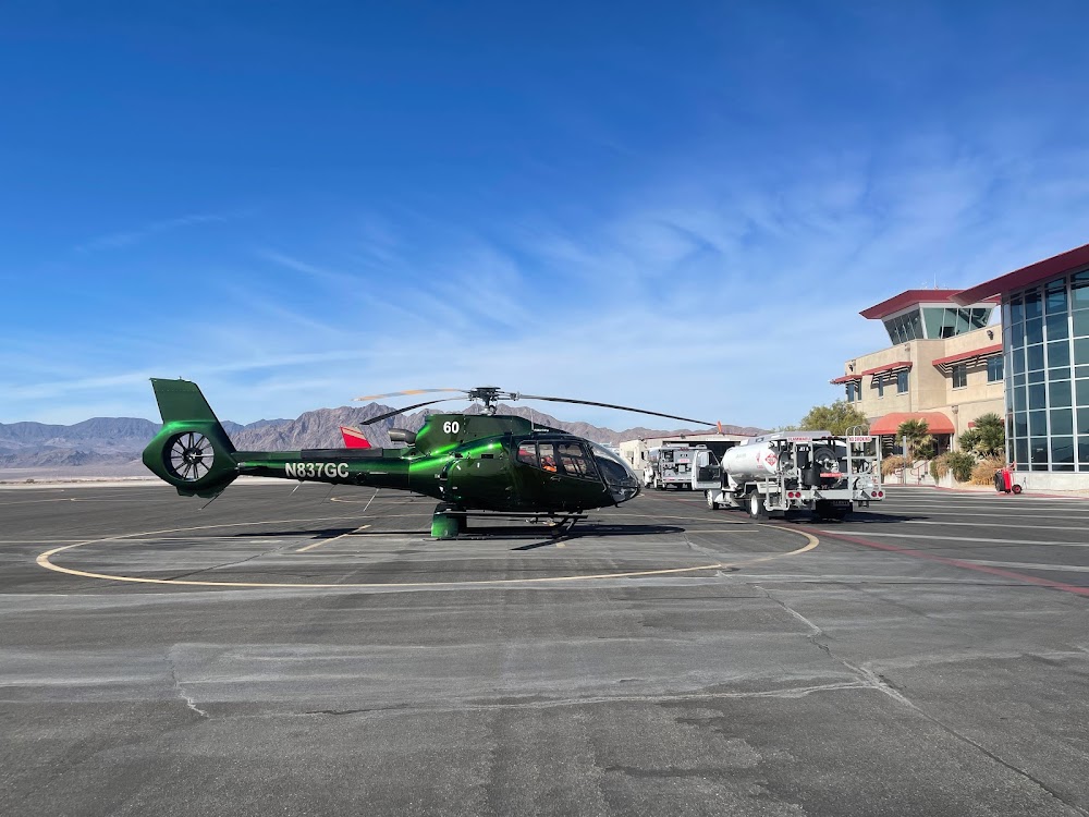
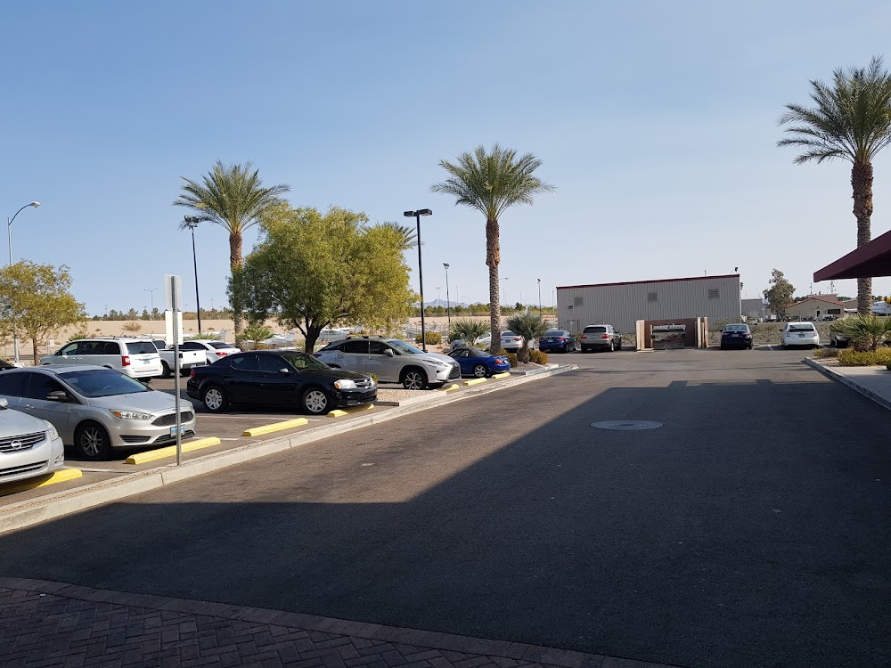
Access: Open to the public
Current Weather — VFR
-
Weather data is strictly informational and not for flight planning purposes.
-
METAR2026-05-13 11:15:00 PDT
Ceiling: Sky clear Wind: 140° @ 20kt, gusts 26kt Temperature: 89°F Dewpoint: 26°F Weather: N/A Visbility: 10SM Raw:METAR KBVU 131815Z AUTO 14020G26KT 10SM CLR 32/M03 A2993 RMK AO2
Click/tap to add an annotation marker to the map
No webcams added yet.
Remarks
- Rwy 33 steep rwy gradient; rising terrain; obstacles off dep end of rwy.
- Avoid overflight of boulder city residential areas.
- Unlighted power lines all quadrants.
- Uphill departures on rwy 33 not recommended.
- Steep rising terrain north of arpt.
Comments