Pirep is a free, collaborative database of all public and private airports located within the United States. All pilots are welcome to contribute, edit, and improve any airport they have local knowledge about, no registration required.


Public
Edit Tags
Upcoming Events
No upcoming events. Is anything happening here soon?
Last updated: 2023-03-31 11:17:40 EDT
Last updated: 2023-03-31 11:17:40 EDT
Last updated: 2023-03-31 11:17:40 EDT
Last updated: 2023-03-31 11:17:40 EDT
Last updated: 2023-03-31 11:17:40 EDT
Airport Statistics
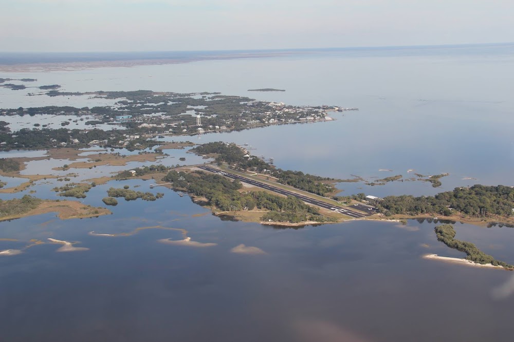
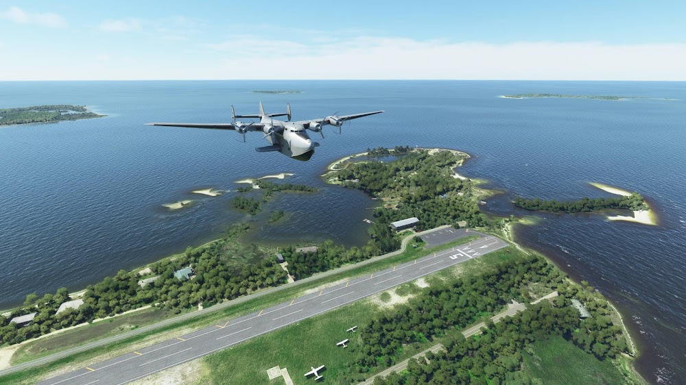
Location:
Cedar Key, FL
Elevation:
11ft
Sectional:
Jacksonville
Activation date:
Apr 1940
Fuel:
None
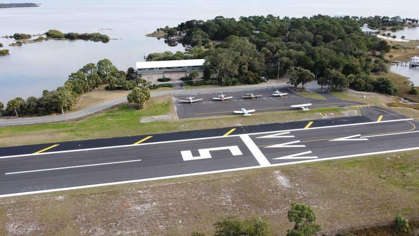
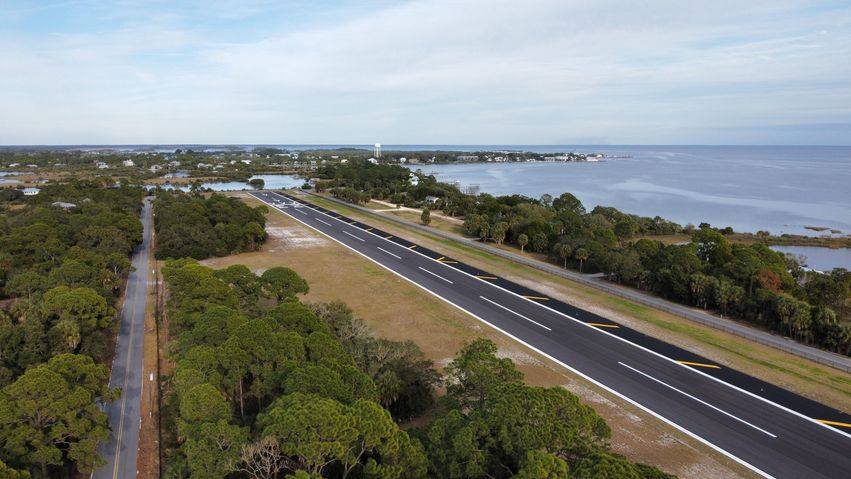
Runway 05/23:
2,302ft
Access: Open to the public
Click/tap to add an annotation marker to the map
No webcams added yet.
Remarks
- Existed prior to 1959.
- Sea gulls on ry.
- Twy clsd to acft, used as public road.
- 4 ft fence 125 ft fm ry centerline located 400 ft 'ne' of ry 23 thrld & parrallel to public road.
- For cd ctc jacksonville artcc at 904-845-1592.
- Rwy 23 has 15 ft road 40 ft bfr aer.
- Actvt reil rwy 05 & 23; mirl rwy 5/23 - ctaf.
- Windsock on non-frangible pole.
Comments