Pirep is a free, collaborative database of all public and private airports located within the United States. All pilots are welcome to contribute, edit, and improve any airport they have local knowledge about, no registration required.
Are you familiar with this airport? Help out other pilots by adding your local knowledge.


Public
Undocumented
METAR / TAF
Edit Tags
Upcoming Events
No upcoming events. Is anything happening here soon?
Airport Statistics
Location:
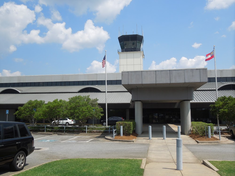
Columbus, GA
Elevation:
397ft
Sectional:
Atlanta
Activation date:
Nov 1942
Fuel:
100LL, A (prices)
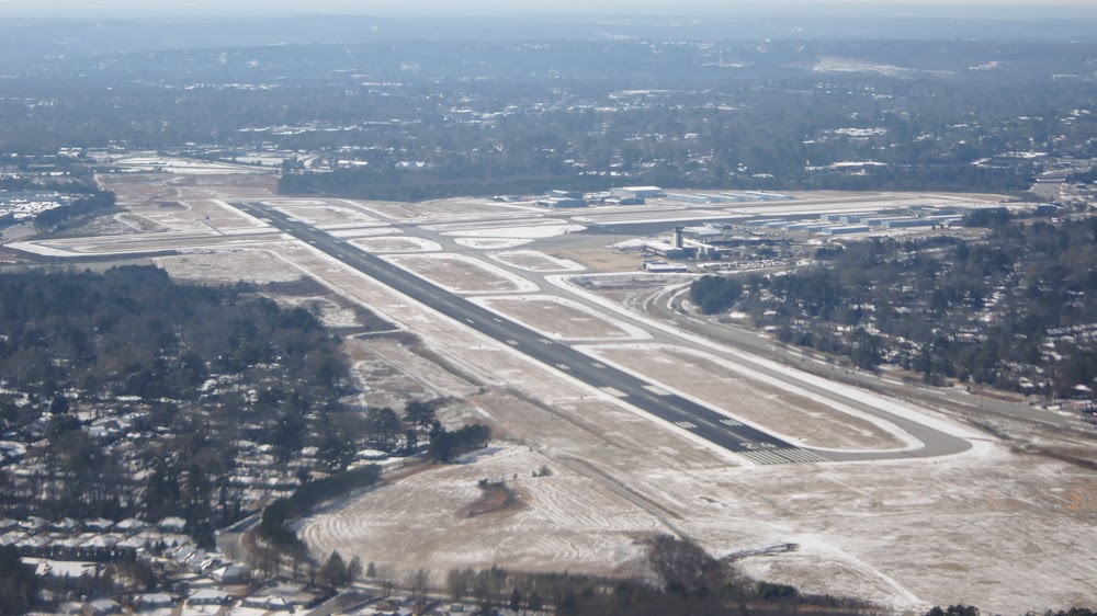
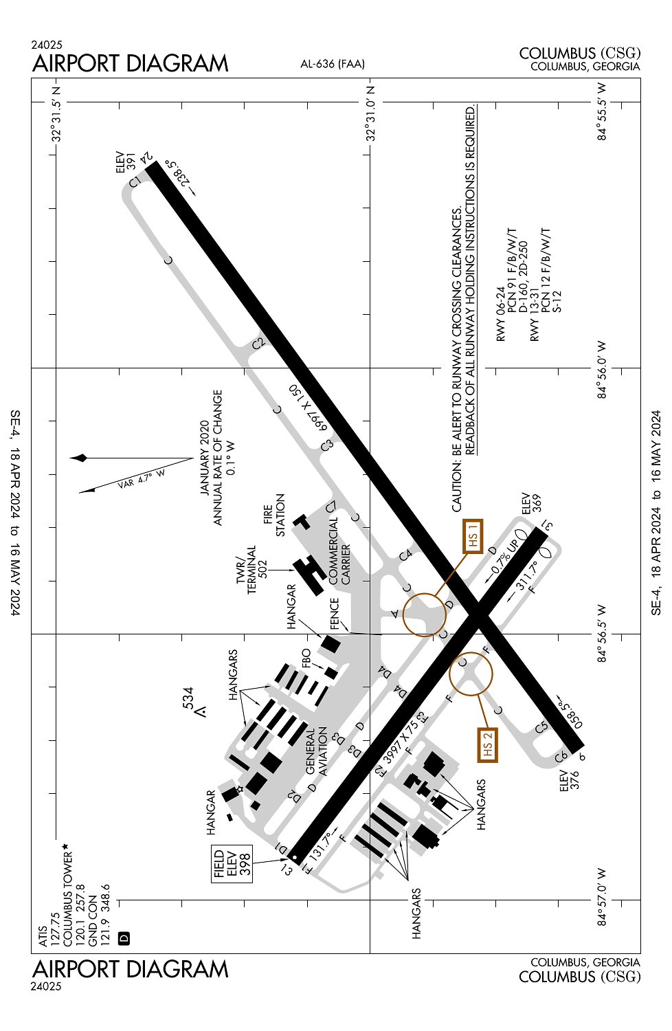
Runway 06/24:
6,997ft
Runway 13/31:
3,997ft
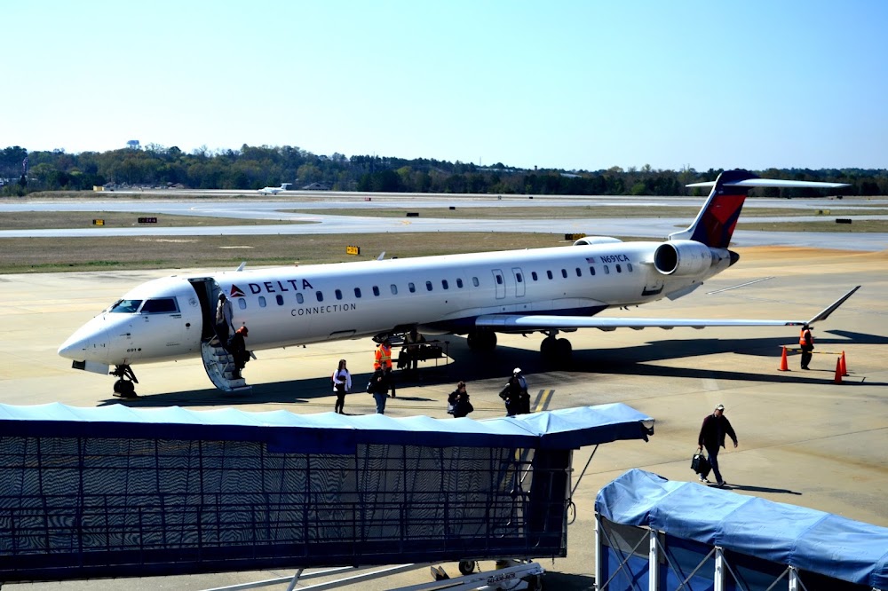
Access: Open to the public
Current Weather — VFR
-
Weather data is strictly informational and not for flight planning purposes.
-
METAR2024-05-06 06:51:00 EDT
Ceiling Wind Temperature Dewpoint Weather Visbility Sky clear Calm 68°F 66°F N/A 10SM Clouds: Scattered @ 5,500ft Raw:KCSG 061051Z AUTO 00000KT 10SM SCT055 20/19 A3002 RMK AO2 SLP159 T02000189 -
TAF2024-05-06 08:00:00 EDT – 2024-05-06 12:00:00 EDT
Ceiling Wind Weather Visbility 5,000ft Calm N/A 6SM Clouds: Broken @ 5,000ft Raw:KCSG 061121Z 0612/0712 00000KT P6SM BKN050 FM061600 21007KT P6SM SCT035 SCT120 FM062000 21007KT P6SM VCSH SCT040 SCT100 FM070200 21005KT P6SM FEW050 SCT120 -
TAF2024-05-06 12:00:00 EDT – 2024-05-06 16:00:00 EDT
Ceiling Wind Weather Visbility Sky clear 210° @ 7kt N/A 6SM Clouds: Scattered @ 3,500ft, Scattered @ 12,000ft Raw:KCSG 061121Z 0612/0712 00000KT P6SM BKN050 FM061600 21007KT P6SM SCT035 SCT120 FM062000 21007KT P6SM VCSH SCT040 SCT100 FM070200 21005KT P6SM FEW050 SCT120 -
TAF2024-05-06 16:00:00 EDT – 2024-05-06 22:00:00 EDT
Ceiling Wind Weather Visbility Sky clear 210° @ 7kt Showers in vicinity 6SM Clouds: Scattered @ 4,000ft, Scattered @ 10,000ft Raw:KCSG 061121Z 0612/0712 00000KT P6SM BKN050 FM061600 21007KT P6SM SCT035 SCT120 FM062000 21007KT P6SM VCSH SCT040 SCT100 FM070200 21005KT P6SM FEW050 SCT120 -
TAF2024-05-06 22:00:00 EDT – 2024-05-07 08:00:00 EDT
Ceiling Wind Weather Visbility Sky clear 210° @ 5kt N/A 6SM Clouds: Few @ 5,000ft, Scattered @ 12,000ft Raw:KCSG 061121Z 0612/0712 00000KT P6SM BKN050 FM061600 21007KT P6SM SCT035 SCT120 FM062000 21007KT P6SM VCSH SCT040 SCT100 FM070200 21005KT P6SM FEW050 SCT120
Click/tap to add an annotation marker to the map
No webcams added yet.
Remarks
- Index b arff equip avbl.
- Birds on & invof arpt.
- For cd if una to ctc on fss freq, ctc atlanta apch at 678-364-6132, when atct clsd ctc atlanta artcc at 770-210-7692.
- Be alert for rwy 6 at twy d int dep instructions with rwy rmng 5085 ft tora/toda/asda.
- Be alert for rwy 6 at twy f int dep instructions with rwy rmng 5623 ft tora/toda/asda.
Comments