Pirep is a free, collaborative database of all public and private airports. All pilots are welcome to contribute their local knowledge to any airport, no registration required.
No upcoming events. Is anything happening here soon?
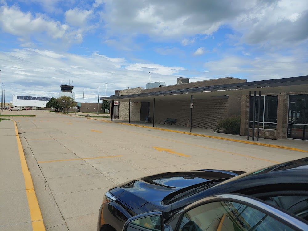
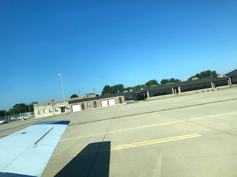
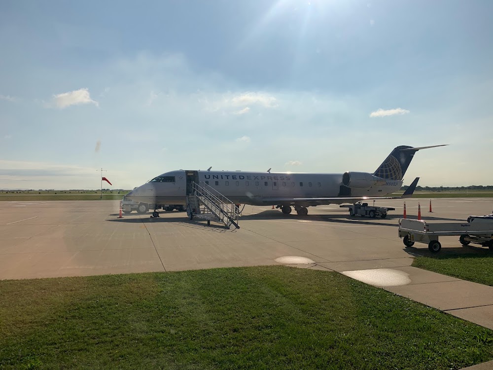
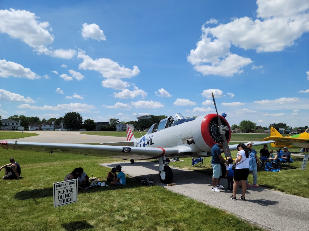
Last updated: 2024-06-18 17:34:31 CDT
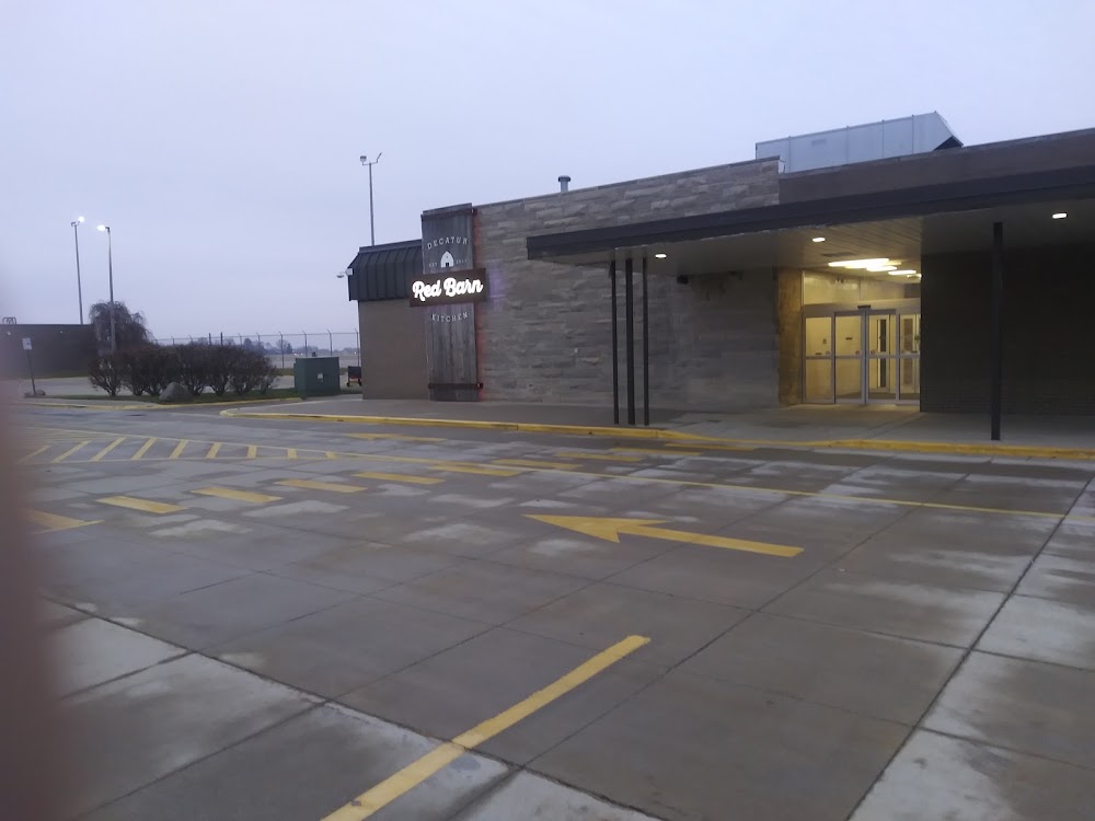
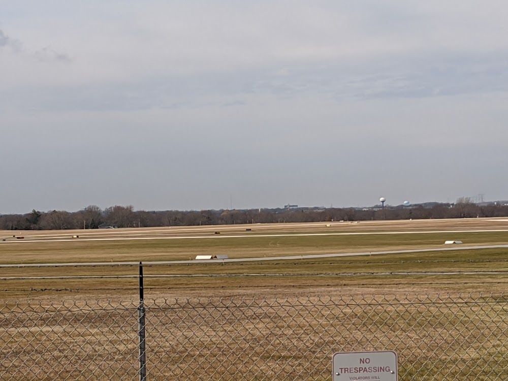
Last updated: 2024-02-05 22:18:24 CST
Airport Statistics
- Crew car availability
- Transient parking location
- Webcam links
Location:
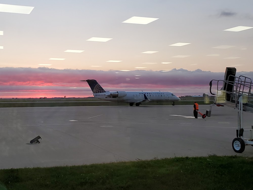
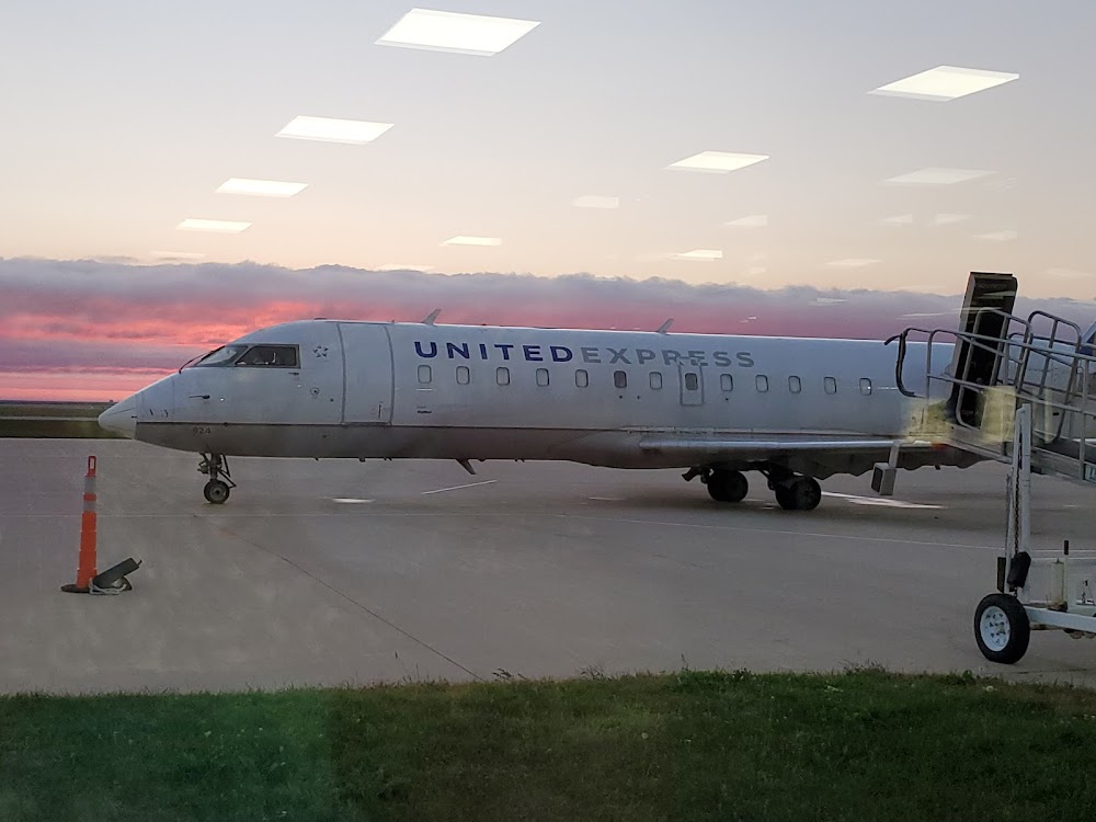
Decatur, IL
Elevation:
681ft
Sectional:
St Louis
Activation date:
Mar 1945
Fuel:
100LL, A (prices)
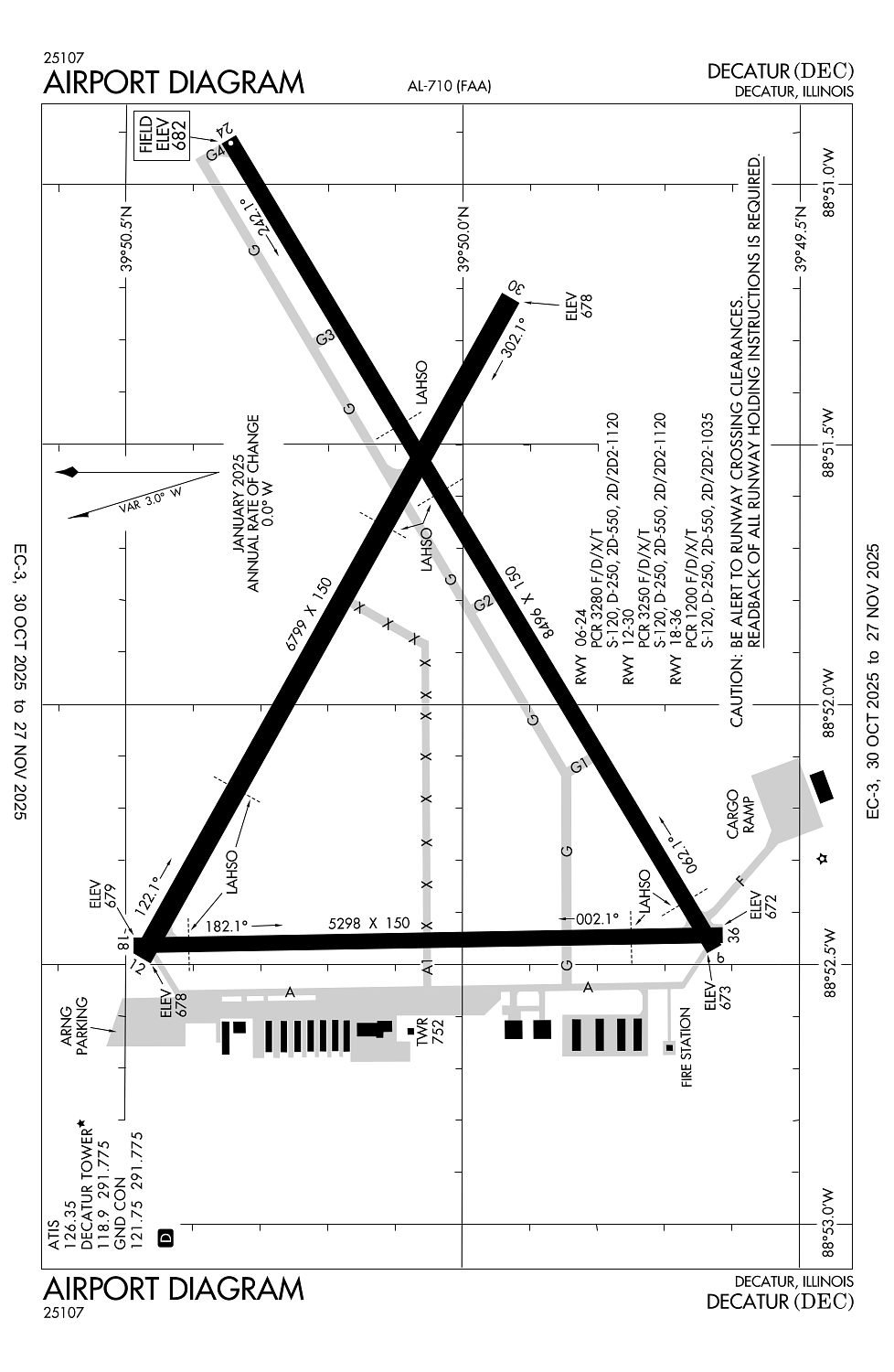
Runway 06/24:
8,496ft
Runway 12/30:
6,799ft
Runway 18/36:
5,298ft
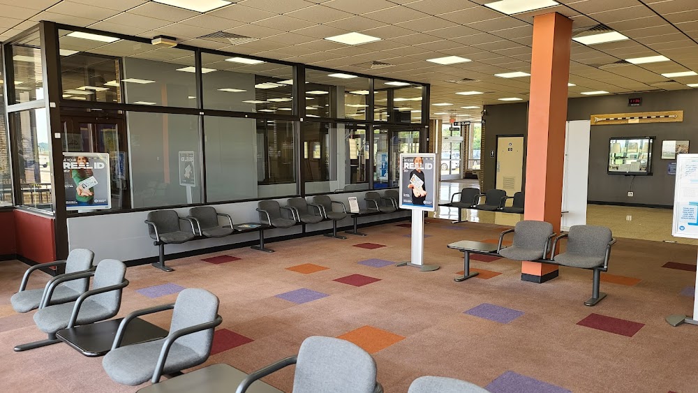
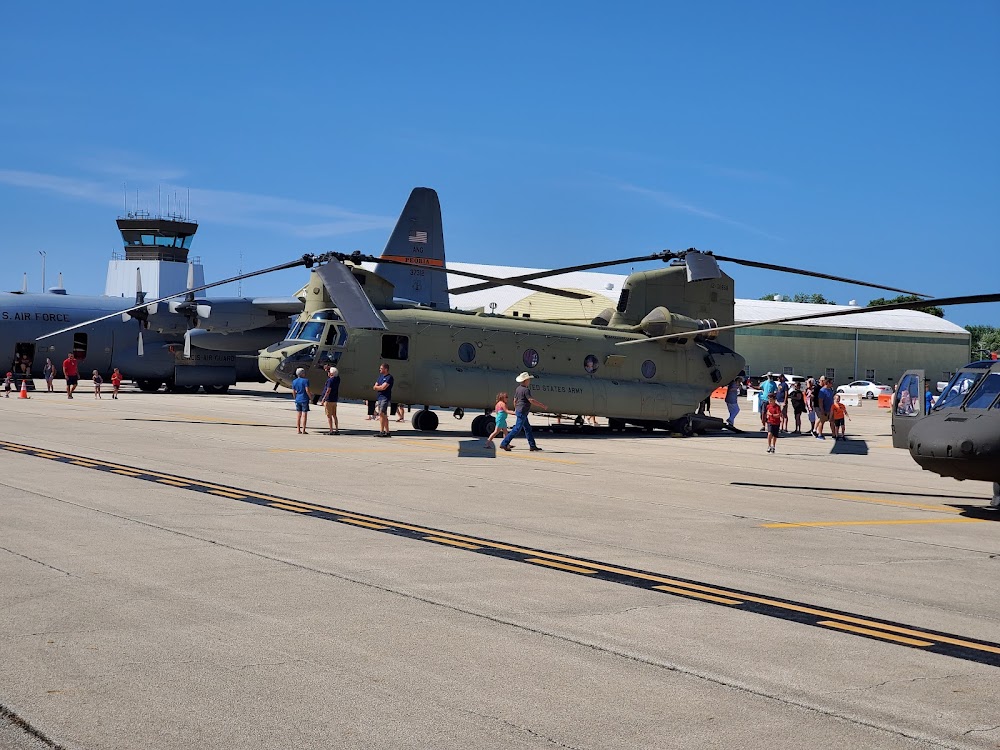
Access: Open to the public
Similar Airports

Current Weather — VFR
-
Weather data is strictly informational and not for flight planning purposes.
-
METAR2025-12-14 06:54:00 CST
Ceiling: Sky clear Wind: 310° @ 7kt Temperature: -4°F Dewpoint: -9°F Weather: N/A Visbility: 10SM Raw:METAR KDEC 141254Z 31007KT 10SM CLR M20/M23 A3061 RMK AO2 SLP385 T12001233 $ -
TAF2025-12-14 06:00:00 CST – 2025-12-14 15:00:00 CST
Ceiling: Sky clear Wind: 310° @ 11kt Weather: N/A Visbility: 6SM Clouds: @ ft Raw:TAF KDEC 141120Z 1412/1512 31011KT P6SM SKC FM142100 VRB04KT P6SM FEW250 FM150600 19009KT P6SM FEW250 -
TAF2025-12-14 15:00:00 CST – 2025-12-15 00:00:00 CST
Ceiling: Sky clear Wind: Variable Weather: N/A Visbility: 6SM Clouds: Few @ 25,000ft Raw:TAF KDEC 141120Z 1412/1512 31011KT P6SM SKC FM142100 VRB04KT P6SM FEW250 FM150600 19009KT P6SM FEW250 -
TAF2025-12-15 00:00:00 CST – 2025-12-15 06:00:00 CST
Ceiling: Sky clear Wind: 190° @ 9kt Weather: N/A Visbility: 6SM Clouds: Few @ 25,000ft Raw:TAF KDEC 141120Z 1412/1512 31011KT P6SM SKC FM142100 VRB04KT P6SM FEW250 FM150600 19009KT P6SM FEW250
Click/tap to add an annotation marker to the map
No webcams added yet.
Remarks
- Index b arff capability rqr 24 hr ppr - ctc amgr.
- N ramp from hngr b to hngr g clsd to acft ovr 12500 lbs.
- When atct clsd be alert for vehicular tfc in arpt ops areas.
- Birds & wildlife on & invof arpt.
- Glider ops rwy 06 & 30 only, rqr written apvl - ctc amgr. sod ops na.
Comments