Pirep is a free, collaborative database of all public and private airports. All pilots are welcome to contribute their local knowledge to any airport, no registration required.
Public
Undocumented
Edit Tags
No upcoming events. Is anything happening here soon?
Airport Statistics
- Local flying clubs
- Crew car availability
- Landing & tie-down fees
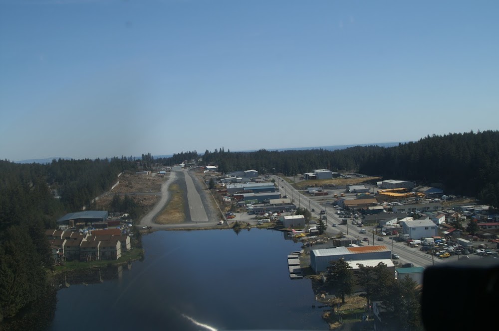
Location:
Kodiak, AK
Elevation:
139ft
Sectional:
Kodiak
Activation date:
May 1962
Fuel:
None
Runway 02/20:
2,475ft
Access: Open to the public
Click/tap to add an annotation marker to the map
No webcams added yet.
Remarks
- Not rqrd under far 157.
- Conflicting tfc with lilly lake, trident basin, & kodiak arpt.
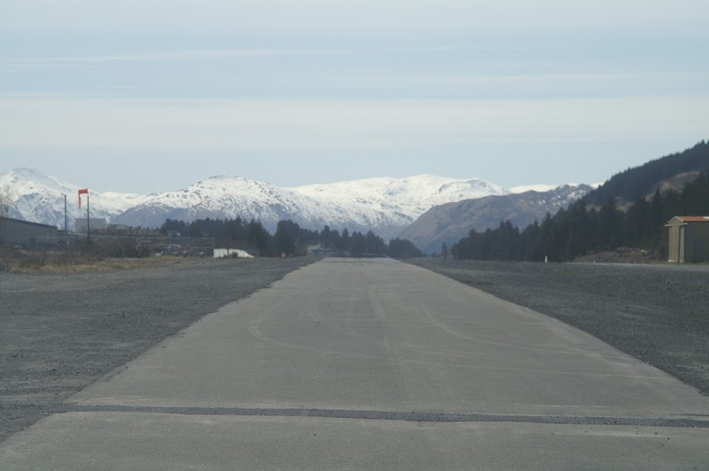
- Ry 20 road crosses apch 15 ft below thr elevation 200 ft fm ry thr.
- Ry slopes uphill 67 ft fm ry 02 dsplcd thld to ry 20; no line of sight btn ry ends. first 350 ft of ry 02 slopes 5% uphill.
- Ry 02/20 surrounded by numerous businesses in close proximity.
- Arpt clsd hi/low wing excp 49 ft/under.
- Unlgtd obstns invof.
- Kodiak wx camera avbl on internet at https://weathercams.faa.gov
Comments