Pirep is a free, collaborative database of all public and private airports. All pilots are welcome to contribute their local knowledge to any airport, no registration required.
Public
Undocumented
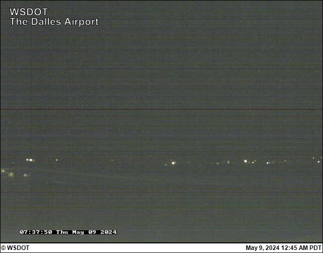
Webcam
METAR / TAF
Edit Tags
No upcoming events. Is anything happening here soon?
Airport Statistics
- Airport map annotations
- Crew car availability
- Local flying clubs
Location:
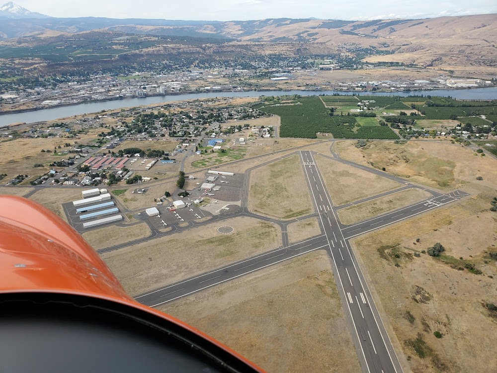
The Dalles, WA
Elevation:
246ft
Sectional:
Seattle
Activation date:
Jun 1943
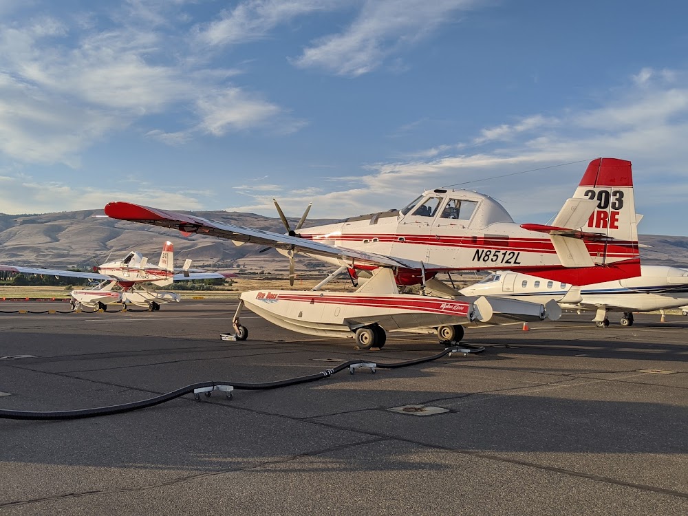
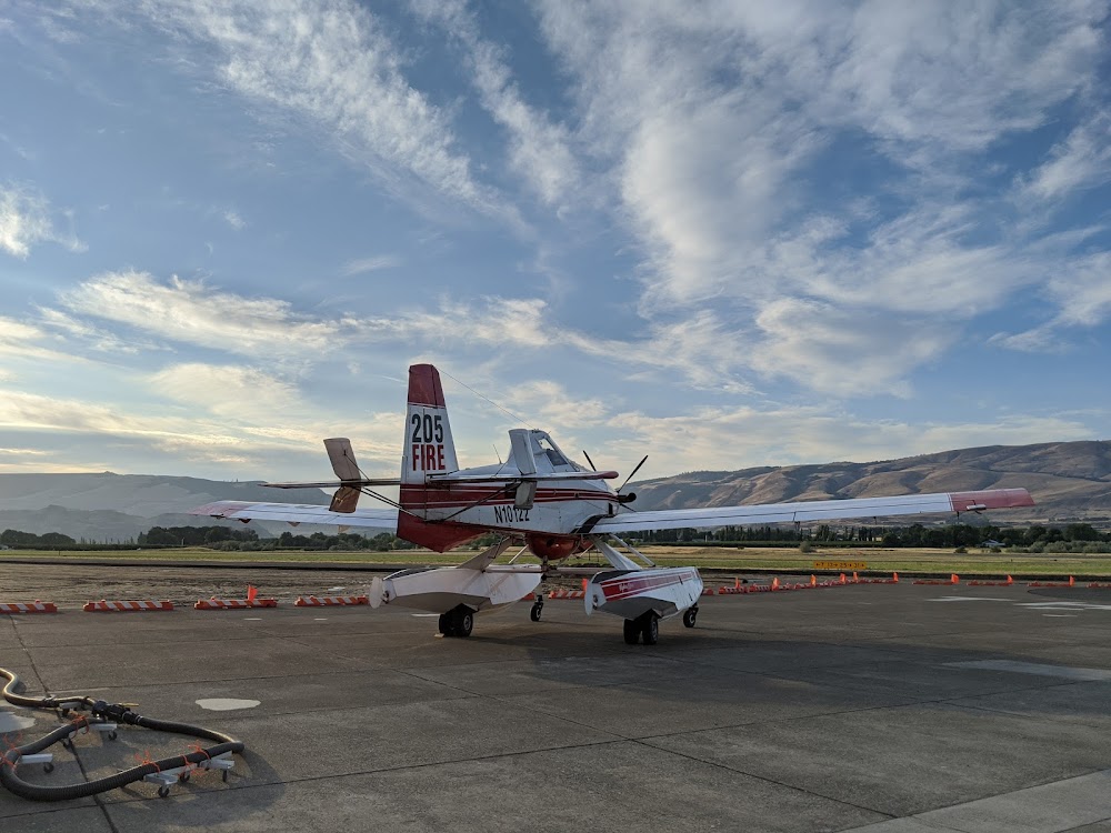
Fuel:
100LL, A1 (prices)
Runway 13/31:
5,097ft
Runway 07/25:
4,647ft
Access: Open to the public
Current Weather — LIFR
-
Weather data is strictly informational and not for flight planning purposes.
-
METAR2025-12-13 09:25:00 PST
Ceiling: 400ft Wind: 210° @ 3kt Temperature: 44°F Dewpoint: 42°F Weather: N/A Visbility: 10SM Clouds: Overcast @ 400ft Raw:SPECI KDLS 131725Z AUTO 21003KT 10SM OVC004 07/06 A3010 RMK AO2 T00670056 -
TAF2025-12-13 10:00:00 PST – 2025-12-13 11:00:00 PST
Ceiling: 700ft Wind: Variable Weather: N/A Visbility: 6SM Clouds: Broken @ 700ft Raw:TAF KDLS 131720Z 1318/1418 VRB05KT P6SM BKN007 FM131900 VRB05KT P6SM OVC015 FM132000 00000KT P6SM BKN250 FM141500 00000KT P6SM OVC100 -
TAF2025-12-13 11:00:00 PST – 2025-12-13 12:00:00 PST
Ceiling: 1,500ft Wind: Variable Weather: N/A Visbility: 6SM Clouds: Overcast @ 1,500ft Raw:TAF KDLS 131720Z 1318/1418 VRB05KT P6SM BKN007 FM131900 VRB05KT P6SM OVC015 FM132000 00000KT P6SM BKN250 FM141500 00000KT P6SM OVC100 -
TAF2025-12-13 12:00:00 PST – 2025-12-14 07:00:00 PST
Ceiling: 25,000ft Wind: Calm Weather: N/A Visbility: 6SM Clouds: Broken @ 25,000ft Raw:TAF KDLS 131720Z 1318/1418 VRB05KT P6SM BKN007 FM131900 VRB05KT P6SM OVC015 FM132000 00000KT P6SM BKN250 FM141500 00000KT P6SM OVC100 -
TAF2025-12-14 07:00:00 PST – 2025-12-14 10:00:00 PST
Ceiling: 10,000ft Wind: Calm Weather: N/A Visbility: 6SM Clouds: Overcast @ 10,000ft Raw:TAF KDLS 131720Z 1318/1418 VRB05KT P6SM BKN007 FM131900 VRB05KT P6SM OVC015 FM132000 00000KT P6SM BKN250 FM141500 00000KT P6SM OVC100
Click/tap to add an annotation marker to the map
Remarks
- Estabd prior to 1959.
- Mtns byd 5000' apch ry 31.
- All twys marked with reflectors.
- Waterfowl on and invof arpt.
- Prior permission required for overweight lndgs.
- For cd ctc seattle artcc at 253-351-3694.
- Actvt mirl rys 13/31 & 07/25, & reil ry 31 - ctaf. reil operates on 7 clicks only.
- Adnl ctc - 541-288-6766. manager@flycgra.com.
Comments