Pirep is a free, collaborative database of all public and private airports. All pilots are welcome to contribute their local knowledge to any airport, no registration required.
Public
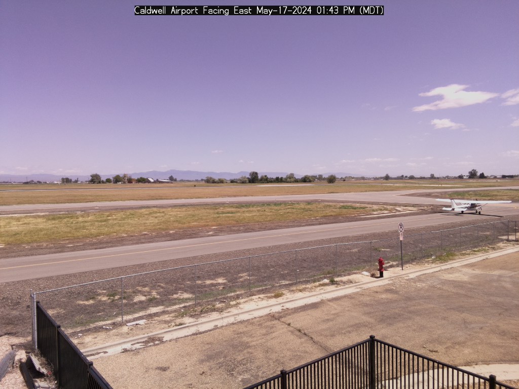
Webcam
METAR / TAF
Edit Tags
No upcoming events. Is anything happening here soon?
Airport Statistics
- General description
- Transient parking location
- Local flying clubs
Location:
Caldwell, ID
Elevation:
2,431ft
Sectional:
Salt Lake City
Activation date:
Sep 1976
Fuel:
100LL, A, A+ (prices)
Runway 12/30:
5,500ft
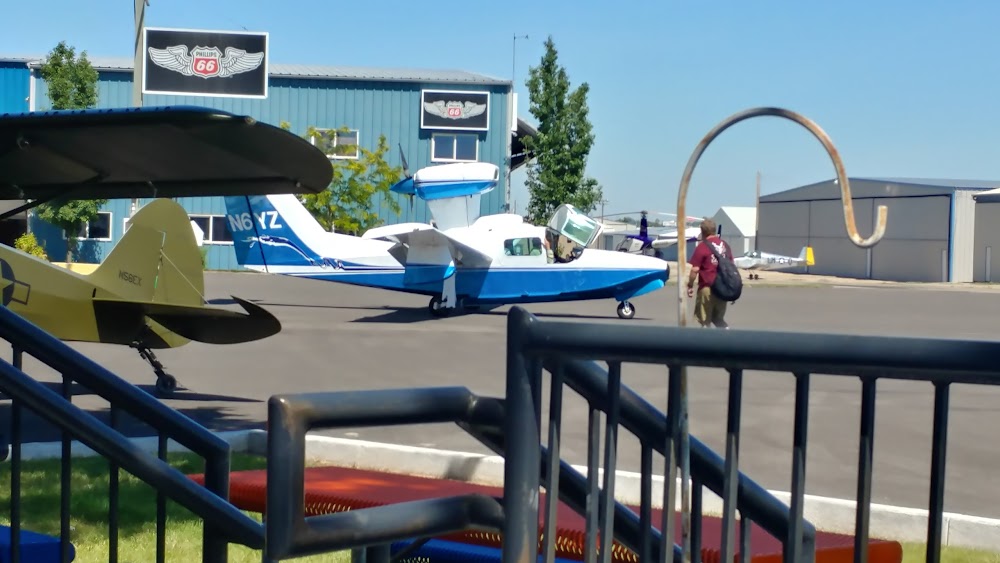
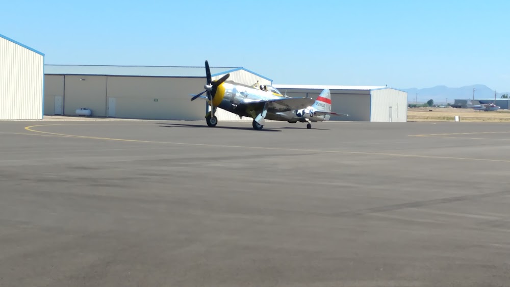
Access: Open to the public
Current Weather — VFR
-
Weather data is strictly informational and not for flight planning purposes.
-
METAR2026-03-24 14:56:00 MDT
Ceiling: 9,000ft Wind: Variable Temperature: 71°F Dewpoint: 41°F Weather: N/A Visbility: 10SM Clouds: Overcast @ 9,000ft Raw:METAR KEUL 242056Z AUTO VRB04KT 10SM OVC090 22/05 A2997 RMK AO2 SLP139 T02170050 56020 $ -
TAF2026-03-24 12:00:00 MDT – 2026-03-24 21:00:00 MDT
Ceiling: 8,000ft Wind: Variable Weather: N/A Visbility: 6SM Clouds: Broken @ 8,000ft Raw:TAF KEUL 241729Z 2418/2518 VRB06KT P6SM BKN080 FM250300 25007KT P6SM SCT120 FM250800 12005KT P6SM SCT080 -
TAF2026-03-24 21:00:00 MDT – 2026-03-25 02:00:00 MDT
Ceiling: Sky clear Wind: 250° @ 7kt Weather: N/A Visbility: 6SM Clouds: Scattered @ 12,000ft Raw:TAF KEUL 241729Z 2418/2518 VRB06KT P6SM BKN080 FM250300 25007KT P6SM SCT120 FM250800 12005KT P6SM SCT080 -
TAF2026-03-25 02:00:00 MDT – 2026-03-25 12:00:00 MDT
Ceiling: Sky clear Wind: 120° @ 5kt Weather: N/A Visbility: 6SM Clouds: Scattered @ 8,000ft Raw:TAF KEUL 241729Z 2418/2518 VRB06KT P6SM BKN080 FM250300 25007KT P6SM SCT120 FM250800 12005KT P6SM SCT080
Click/tap to add an annotation marker to the map

Remarks
- 208-459-2360.
- +363 ft radio twr lctd 1.4 miles north of arpt.
- Fuel avbl 24 hrs by credit card. jet a from truck mon-sat 1500-2300z++. call 208-453-8577 for jet a and after hours callout.
- Rwy 12 calm wind rwy.
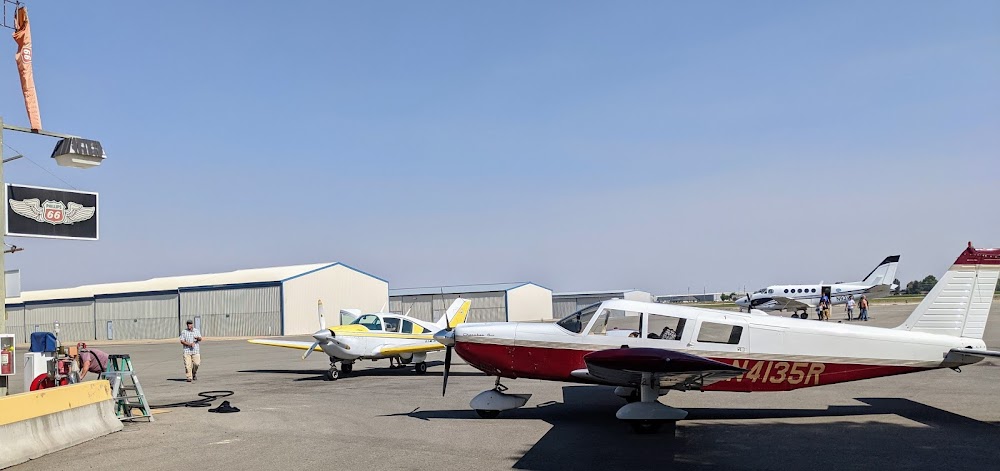
- Preferred parking for jet and large turboprop acft avbl on terminal apron on north side of rwy.
- Courtesy car avbl for tran aircrews. call 208-459-9779 to req courtesy car.
- Transient ramp preferred for use by training helicopters for launch and recovery.
- Preferred helicopter pat sw of rwy.
Comments