Pirep is a free, collaborative database of all public and private airports. All pilots are welcome to contribute their local knowledge to any airport, no registration required.

Public
Undocumented
METAR / TAF
Webcam
Edit Tags
No upcoming events. Is anything happening here soon?
Airport Statistics
- Local flying clubs
- Crew car availability
- Tags
Location:
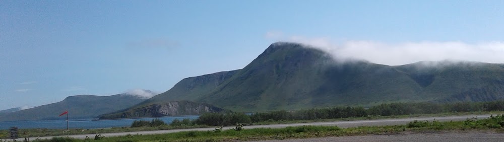
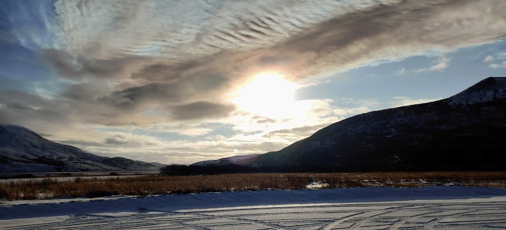
False Pass, AK
Elevation:
18ft
Sectional:
Cold Bay
Fuel:
None
Runway 14/32:
2,150ft
Access: Open to the public
Current Weather — IFR
-
Weather data is strictly informational and not for flight planning purposes.
-
METAR2026-07-15 17:56:00 AKDT
Ceiling: 600ft Wind: 140° @ 11kt, gusts 15kt Temperature: 48°F Dewpoint: 48°F Weather: Light rain, mist Visbility: 6SM Clouds: Overcast @ 600ft Raw:METAR PAKF 160156Z AUTO 14011G15KT 6SM -RA BR OVC006 09/09 A3003 RMK AO2 SLP167 T00890089 PNO $
Click/tap to add an annotation marker to the map
Remarks
- Fqt turb & high winds invof arpt. bears & lrg birds alg beach adj to rwy.
- Psbl soft & unusbl rwy sfc durg spring & hvy rain. rwy cond unmnt; rcmnd visual insp bfr use.
- Wx camera avbl on internet at https://weathercams.faa.gov.
- Ctn: vehicles use rwy to access beach.
- Dilapidated & overgrown.
- No edge mkrs.
- Orange cones.
- Orange cones.
Comments