Pirep is a free, collaborative database of all public and private airports. All pilots are welcome to contribute their local knowledge to any airport, no registration required.
Public
Undocumented
METAR / TAF
Edit Tags
No upcoming events. Is anything happening here soon?
Airport Statistics
- Fuel pump location
- Webcam links
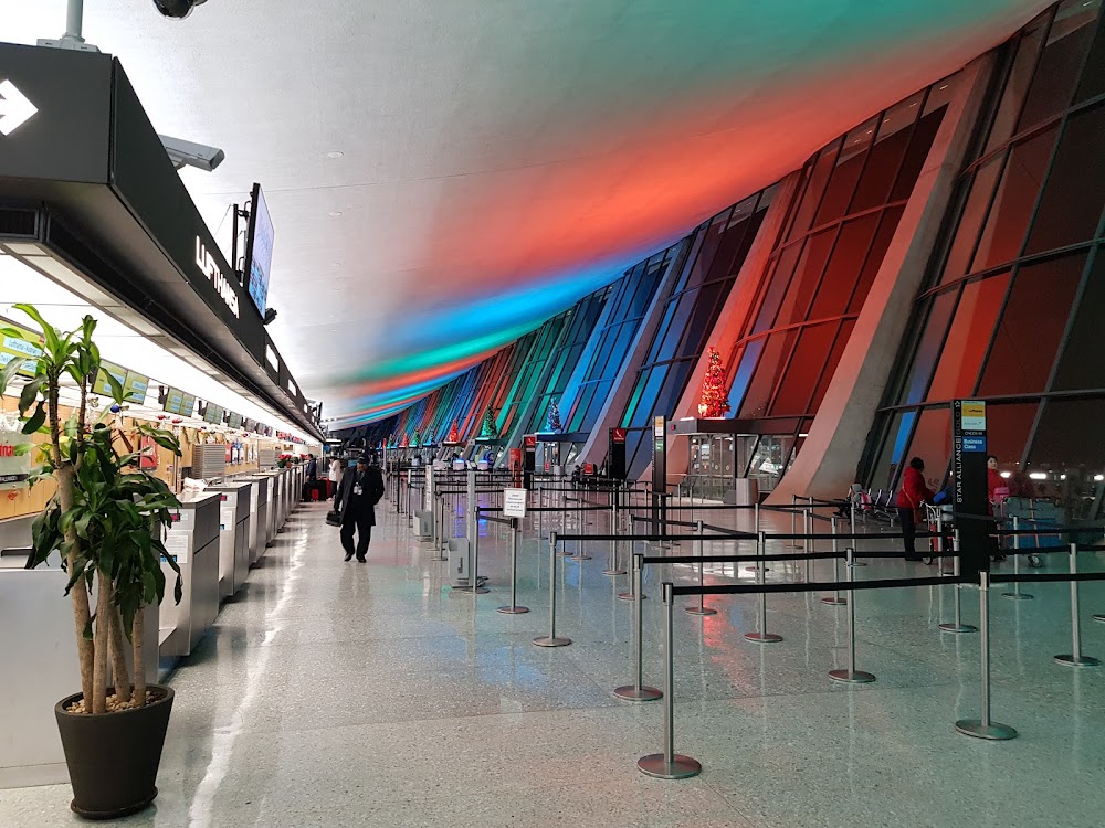
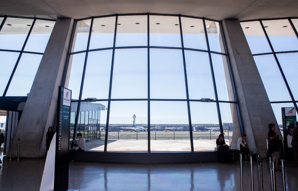
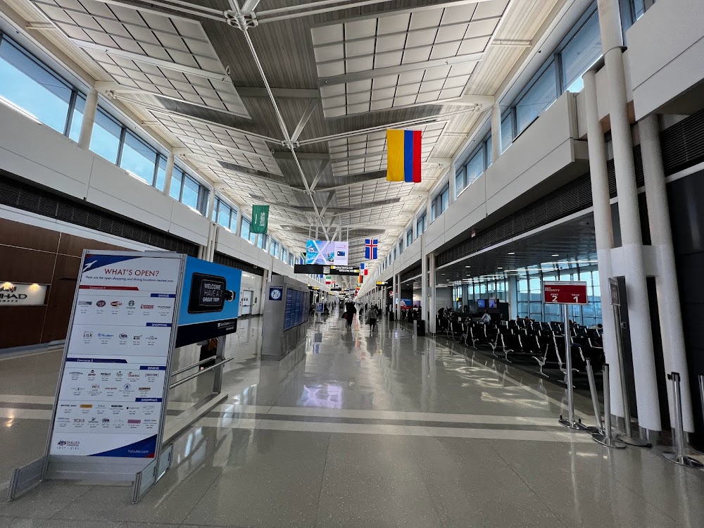
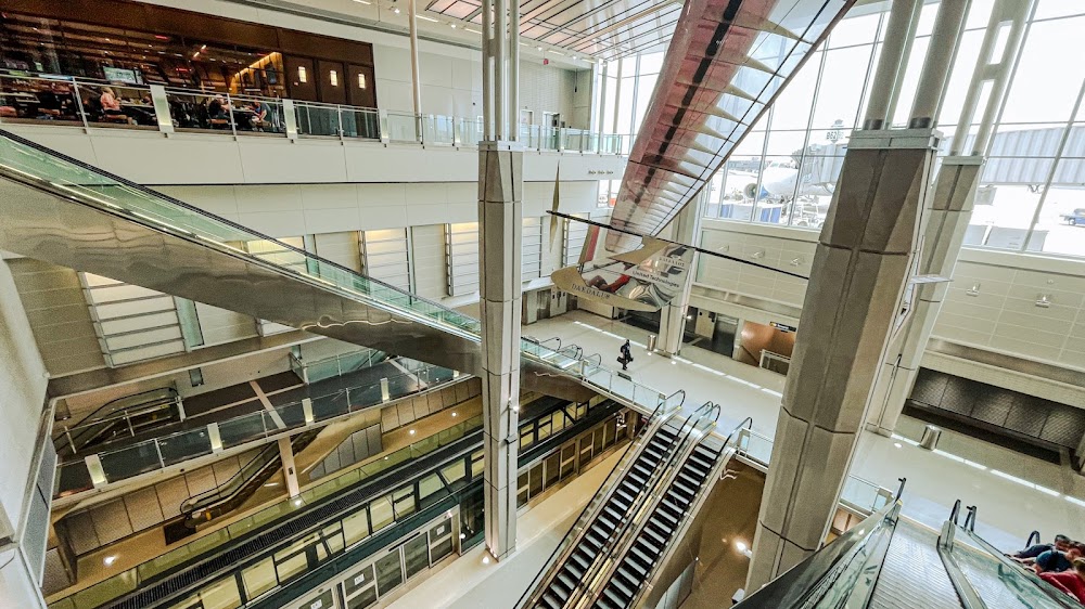
- Airport photos
Location:
Washington, VA
Elevation:
312ft
Sectional:
Washington
Activation date:
Nov 1962
Fuel:
100LL, A (prices)
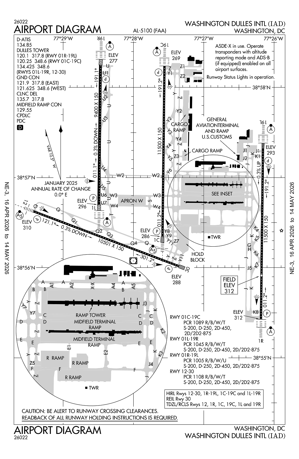
Runway 01C/19C:
11,500ft
Runway 01R/19L:
11,500ft
Runway 12/30:
10,501ft
Runway 01L/19R:
9,400ft
Access: Open to the public
Current Weather — VFR
-
Weather data is strictly informational and not for flight planning purposes.
-
METAR2026-06-02 12:52:00 EDT
Ceiling: Sky clear Wind: Variable Temperature: 69°F Dewpoint: 39°F Weather: N/A Visbility: 10SM Clouds: Few @ 6,000ft Raw:METAR KIAD 021652Z VRB06KT 10SM FEW060 21/04 A3023 RMK AO2 SLP236 T02110039 -
TAF2026-06-02 14:00:00 EDT – 2026-06-02 18:00:00 EDT
Ceiling: Sky clear Wind: Variable Weather: N/A Visbility: 6SM Clouds: Few @ 6,000ft Raw:TAF KIAD 021721Z 0218/0324 VRB06KT P6SM FEW060 FM022200 36005KT P6SM FEW080 SCT250 FM030400 30003KT P6SM FEW200 FM031000 32003KT P6SM FEW250 FM031900 35008KT P6SM SKC -
TAF2026-06-02 18:00:00 EDT – 2026-06-03 00:00:00 EDT
Ceiling: Sky clear Wind: 360° @ 5kt Weather: N/A Visbility: 6SM Clouds: Few @ 8,000ft, Scattered @ 25,000ft Raw:TAF KIAD 021721Z 0218/0324 VRB06KT P6SM FEW060 FM022200 36005KT P6SM FEW080 SCT250 FM030400 30003KT P6SM FEW200 FM031000 32003KT P6SM FEW250 FM031900 35008KT P6SM SKC -
TAF2026-06-03 00:00:00 EDT – 2026-06-03 06:00:00 EDT
Ceiling: Sky clear Wind: 300° @ 3kt Weather: N/A Visbility: 6SM Clouds: Few @ 20,000ft Raw:TAF KIAD 021721Z 0218/0324 VRB06KT P6SM FEW060 FM022200 36005KT P6SM FEW080 SCT250 FM030400 30003KT P6SM FEW200 FM031000 32003KT P6SM FEW250 FM031900 35008KT P6SM SKC -
TAF2026-06-03 06:00:00 EDT – 2026-06-03 15:00:00 EDT
Ceiling: Sky clear Wind: 320° @ 3kt Weather: N/A Visbility: 6SM Clouds: Few @ 25,000ft Raw:TAF KIAD 021721Z 0218/0324 VRB06KT P6SM FEW060 FM022200 36005KT P6SM FEW080 SCT250 FM030400 30003KT P6SM FEW200 FM031000 32003KT P6SM FEW250 FM031900 35008KT P6SM SKC -
TAF2026-06-03 15:00:00 EDT – 2026-06-03 20:00:00 EDT
Ceiling: Sky clear Wind: 350° @ 8kt Weather: N/A Visbility: 6SM Clouds: @ ft Raw:TAF KIAD 021721Z 0218/0324 VRB06KT P6SM FEW060 FM022200 36005KT P6SM FEW080 SCT250 FM030400 30003KT P6SM FEW200 FM031000 32003KT P6SM FEW250 FM031900 35008KT P6SM SKC
Click/tap to add an annotation marker to the map
No webcams added yet.
Remarks
- Located in both fairfax county va and loudoun county va.
- Itnrnt acft ctc fbo on 122.95 or 129.77 for svcs.
- Acr push backs & pwr fm all apron psns require clnc fm mwaa ramp twr.
- Large flocks of birds on & invof arpt/deer invof arpt.
- During periods of acft saturation long term parking may not be available. services for fuel and go only will be available.
Comments