Pirep is a free, collaborative database of all public and private airports. All pilots are welcome to contribute their local knowledge to any airport, no registration required.
Public
Undocumented
METAR / TAF
Edit Tags
No upcoming events. Is anything happening here soon?
Airport Statistics
- Transient parking location
- Fuel pump location
- WiFi availability
Location:
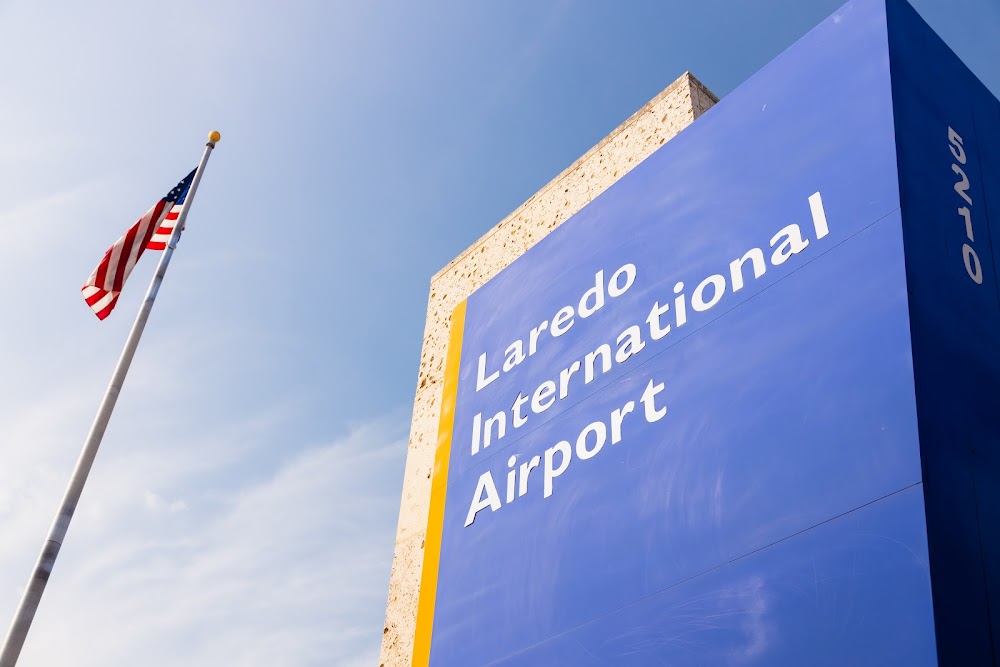
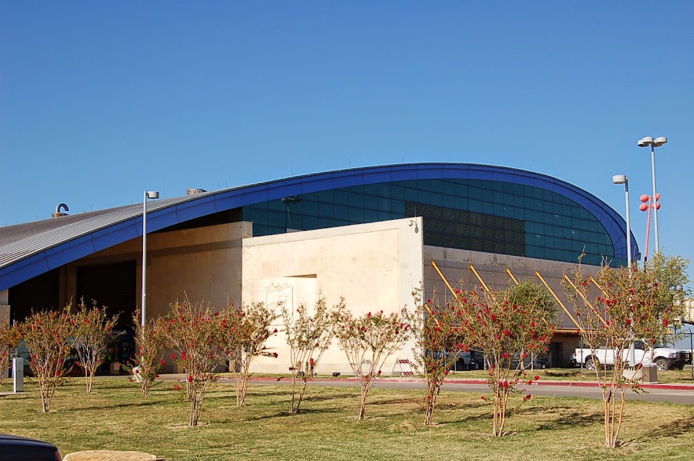
Laredo, TX
Elevation:
508ft
Sectional:
Brownsville
Fuel:
100LL, A (prices)
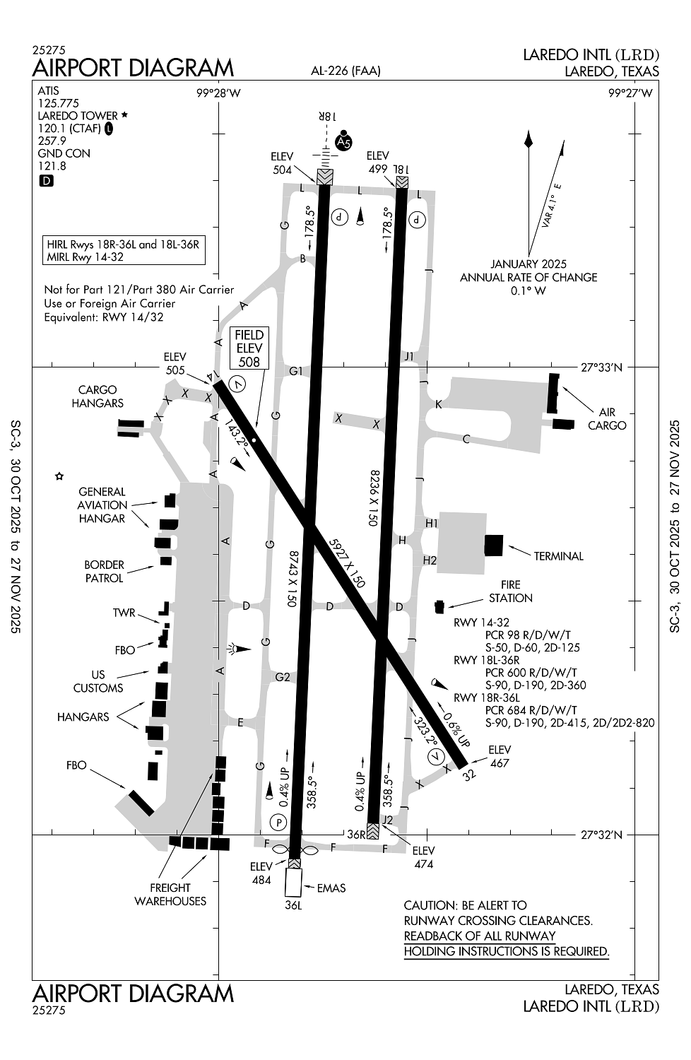
Runway 18R/36L:
8,743ft
Runway 18L/36R:
8,236ft
Runway 14/32:
5,927ft
Access: Open to the public
Current Weather — LIFR
-
Weather data is strictly informational and not for flight planning purposes.
-
METAR2025-12-13 11:56:00 CST
Ceiling: 400ft Wind: 040° @ 3kt Temperature: 66°F Dewpoint: 64°F Weather: N/A Visbility: 7SM Clouds: Overcast @ 400ft Raw:METAR KLRD 131756Z 04003KT 7SM OVC004 19/18 A3003 RMK AO2 SLP166 60000 T01940183 10194 20178 58008 $ -
TAF2025-12-13 12:00:00 CST – 2025-12-14 01:00:00 CST
Ceiling: 3,500ft Wind: Variable Weather: N/A Visbility: 6SM Clouds: Broken @ 3,500ft Raw:TAF KLRD 131735Z 1318/1418 VRB03KT P6SM BKN035 FM140700 05005KT 5SM BR BKN006 TEMPO 1410/1414 1SM BR BKN002 FM141500 02022G30KT 5SM BR OVC010 -
TAF2025-12-14 01:00:00 CST – 2025-12-14 09:00:00 CST
Ceiling: 600ft Wind: 050° @ 5kt Weather: Mist Visbility: 5SM Clouds: Broken @ 600ft Raw:TAF KLRD 131735Z 1318/1418 VRB03KT P6SM BKN035 FM140700 05005KT 5SM BR BKN006 TEMPO 1410/1414 1SM BR BKN002 FM141500 02022G30KT 5SM BR OVC010 -
TAF2025-12-14 04:00:00 CST – 2025-12-14 08:00:00 CST
Ceiling: 200ft Wind: 000° @ kt Weather: Mist Visbility: 1SM Clouds: Broken @ 200ft Raw:TAF KLRD 131735Z 1318/1418 VRB03KT P6SM BKN035 FM140700 05005KT 5SM BR BKN006 TEMPO 1410/1414 1SM BR BKN002 FM141500 02022G30KT 5SM BR OVC010 -
TAF2025-12-14 09:00:00 CST – 2025-12-14 12:00:00 CST
Ceiling: 1,000ft Wind: 020° @ 22kt, gusts 30kt Weather: Mist Visbility: 5SM Clouds: Overcast @ 1,000ft Raw:TAF KLRD 131735Z 1318/1418 VRB03KT P6SM BKN035 FM140700 05005KT 5SM BR BKN006 TEMPO 1410/1414 1SM BR BKN002 FM141500 02022G30KT 5SM BR OVC010
Click/tap to add an annotation marker to the map
No webcams added yet.
Remarks
- Rwy 14/32 rstrd to acft less than 60000 lbs dtw.
- Twy c clsd btn rwy 18l/36r & rwy 18r indefly.
- Federal inspection station is lctd on the west general aviation/cargo apron.
- For cd if una to ctc on fss freq, ctc houston artcc at 281-230-5622.
- Birds on and invof arpt.
Comments