Pirep is a free, collaborative database of all public and private airports. All pilots are welcome to contribute their local knowledge to any airport, no registration required.
Upcoming Events
-
Fri, Apr 3 2026 7:00pm – 9:00pm
-
Fri, May 8 2026 7:00pm – 9:00pm
-
Fri, Jun 5 2026 7:00pm – 9:00pm
Last updated: 2023-05-15 08:30:49 PDT
Last updated: 2023-11-14 19:58:15 PST
Airport Statistics
- Crew car availability
- Fuel pump location
- Transient parking location
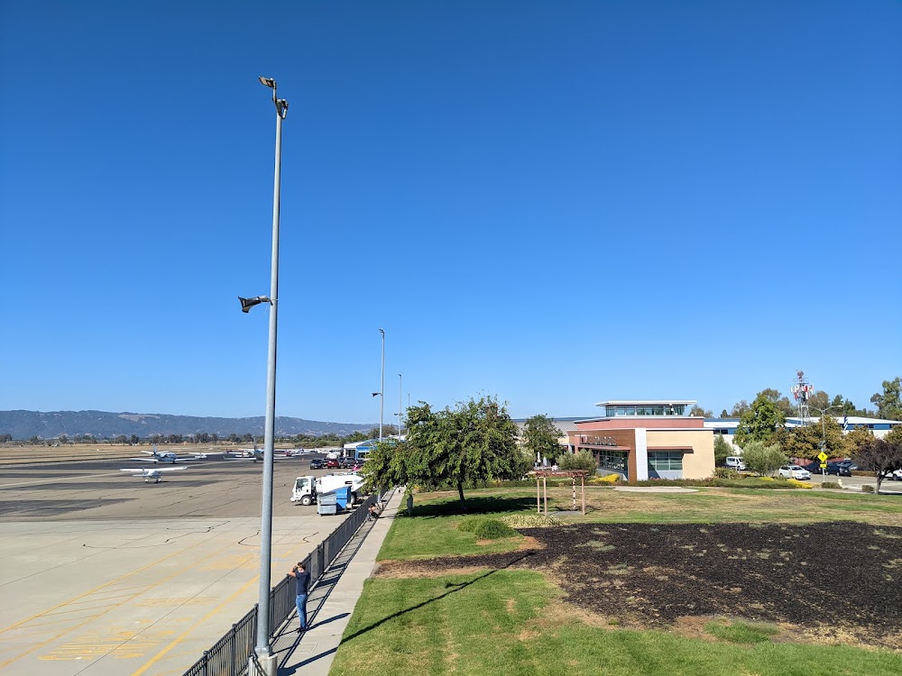
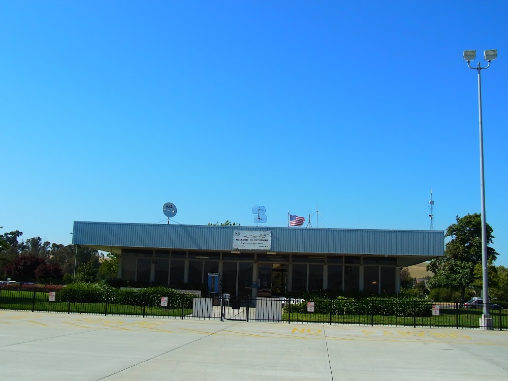
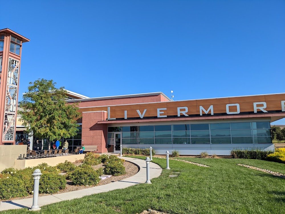
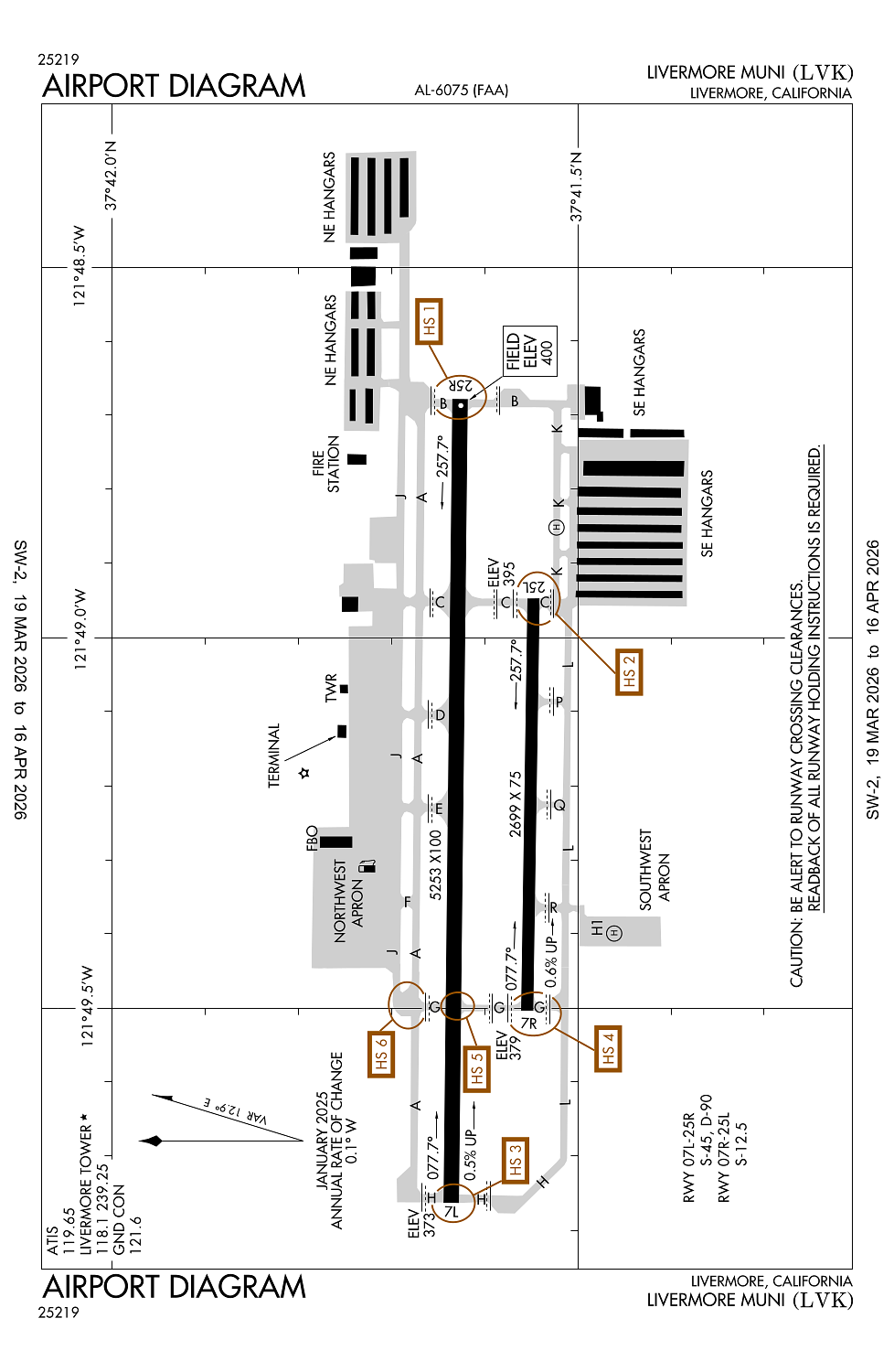
Location:
Livermore, CA
Elevation:
399ft
Sectional:
San Francisco
Activation date:
Dec 1965
Fuel:
100LL, A (prices)
Runway 07L/25R:
5,253ft
Runway 07R/25L:
2,699ft
Runway H1:
24ft
Access: Open to the public
Similar Airports
Current Weather — VFR
-
Weather data is strictly informational and not for flight planning purposes.
-
METAR2026-03-28 17:53:00 PDT
Ceiling: Sky clear Wind: 260° @ 5kt Temperature: 80°F Dewpoint: 46°F Weather: N/A Visbility: 10SM Raw:METAR KLVK 290053Z 26005KT 10SM CLR 27/08 A2994 RMK AO2 SLP136 T02720078 -
TAF2026-03-28 17:00:00 PDT – 2026-03-28 20:00:00 PDT
Ceiling: Sky clear Wind: 300° @ 8kt Weather: N/A Visbility: 6SM Clouds: Few @ 20,000ft Raw:TAF KLVK 282320Z 2900/2924 30008KT P6SM FEW200 FM290300 VRB03KT P6SM FEW200 FM292100 30009KT P6SM FEW200 -
TAF2026-03-28 20:00:00 PDT – 2026-03-29 14:00:00 PDT
Ceiling: Sky clear Wind: Variable Weather: N/A Visbility: 6SM Clouds: Few @ 20,000ft Raw:TAF KLVK 282320Z 2900/2924 30008KT P6SM FEW200 FM290300 VRB03KT P6SM FEW200 FM292100 30009KT P6SM FEW200 -
TAF2026-03-29 14:00:00 PDT – 2026-03-29 17:00:00 PDT
Ceiling: Sky clear Wind: 300° @ 9kt Weather: N/A Visbility: 6SM Clouds: Few @ 20,000ft Raw:TAF KLVK 282320Z 2900/2924 30008KT P6SM FEW200 FM290300 VRB03KT P6SM FEW200 FM292100 30009KT P6SM FEW200
Click/tap to add an annotation marker to the map
No webcams added yet.
Remarks
- Be alert to considerable bird activity on & in vicinity of arpt.
- Do not mistake parallel taxiway n of rwy 25r/7l as rwy. noise sensitive areas 3/4 mile east & 2 miles w of arpt.
- Effective ry gradient ry 07l 0.52% up; ry 07r 0.59% up.
- For cd when atct is clsd ctc norcal apch at 916-361-0516.
- Pls obs "voluntary restraint from night flying 2200l-0600l policy."
Comments