Pirep is a free, collaborative database of all public and private airports. All pilots are welcome to contribute their local knowledge to any airport, no registration required.

Public
Undocumented
METAR / TAF
Edit Tags
No upcoming events. Is anything happening here soon?
Airport Statistics
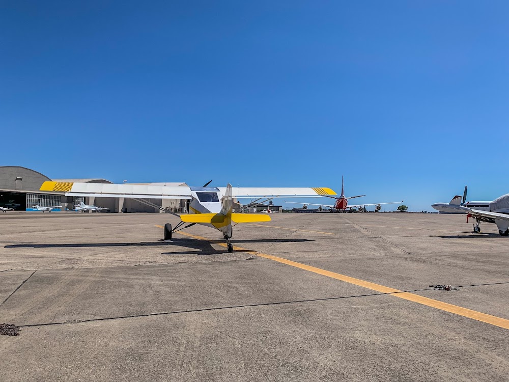
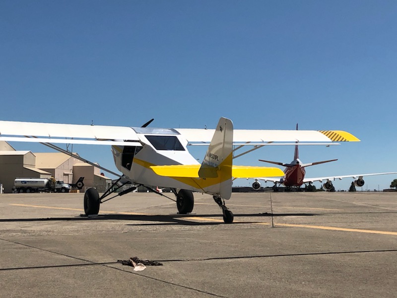
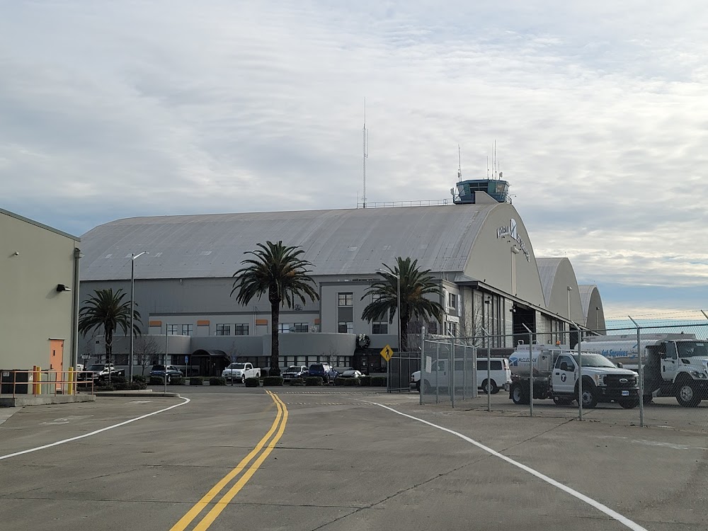
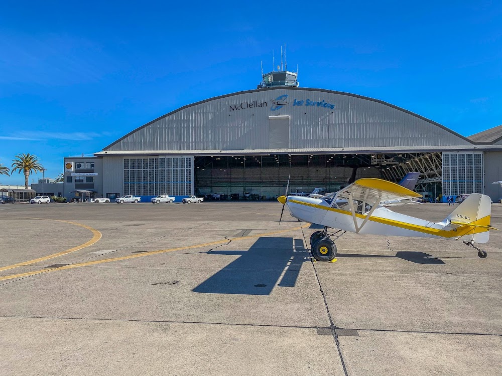
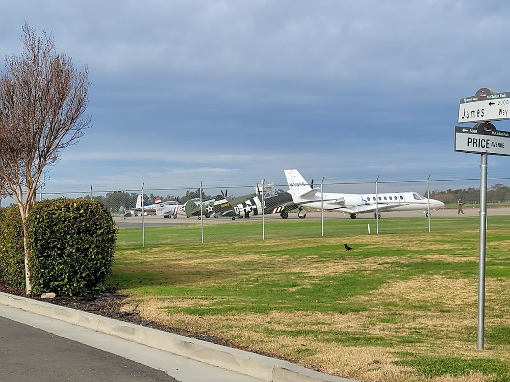
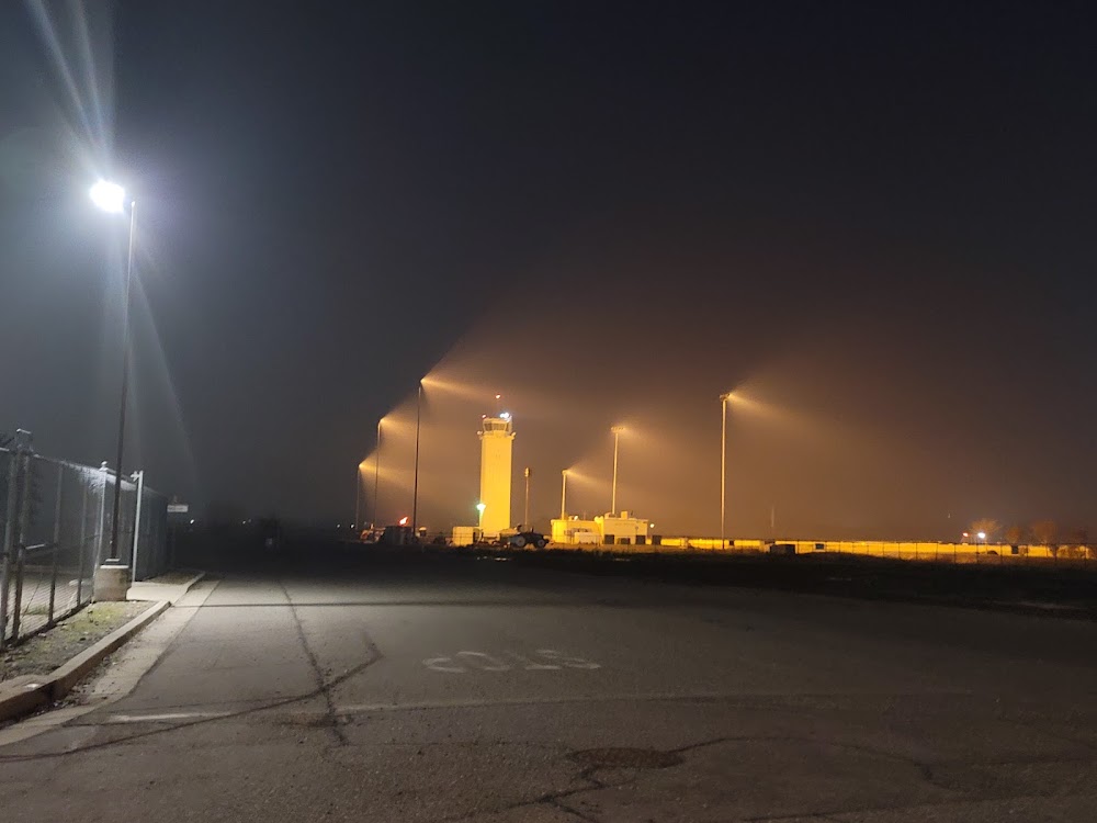
- Airport photos
- Webcam links
- Local flying clubs
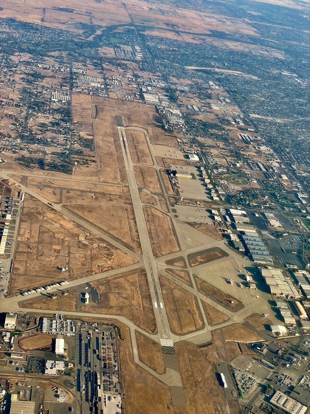
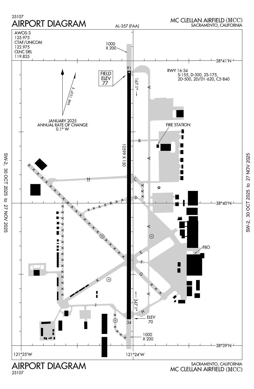
Location:
Sacramento, CA
Elevation:
76ft
Sectional:
San Francisco
Activation date:
May 1941
Fuel:
100LL, A, A+ (prices)
Runway 16/34:
10,599ft
Runway H1:
57ft
Runway H2:
57ft
Runway H3:
57ft
Runway H4:
57ft
Access: Open to the public
This airport is privately owned but open to the public.
Click/tap to add an annotation marker to the map
No webcams added yet.
Remarks
- 900 ft asph ovrn se end ry 16 & 1000 ft asph ovrn nw end ry 34.
- Fld conds-rwy, twy & apron good.
- Strict adherence to publd tfc pats rcmd for ns abtmt purposes.
- Touch/go lndg for c5 prohibited.
- Durg increased bird conditions the potential for bird congestion exist at both arr/dep ends ry 16/34.
Comments