Pirep is a free, collaborative database of all public and private airports located within the United States. All pilots are welcome to contribute, edit, and improve any airport they have local knowledge about, no registration required.


Public
METAR / TAF
Edit Tags
Upcoming Events
No upcoming events. Is anything happening here soon?
Airport Statistics
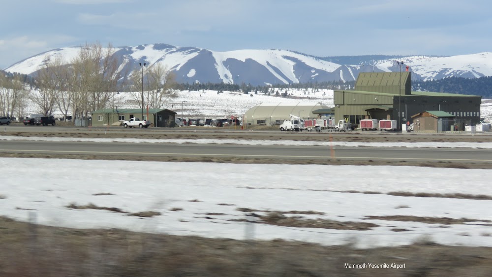
Location:
Mammoth Lakes, CA
Elevation:
7,134ft
Sectional:
San Francisco
Activation date:
Sep 1947
Fuel:
100LL, A (prices)
Runway 09/27:
7,000ft
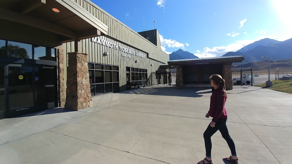
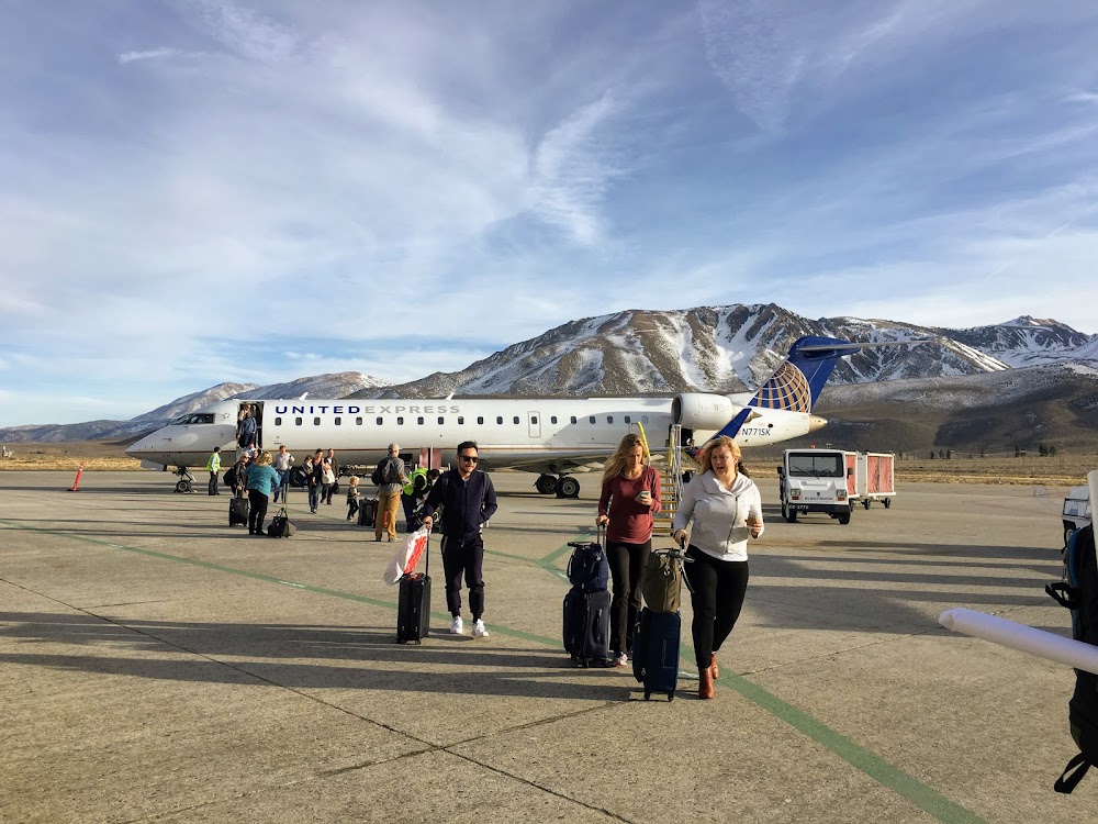
Access: Open to the public
Current Weather — VFR
-
Weather data is strictly informational and not for flight planning purposes.
-
METAR2024-05-16 15:15:00 PDT
Ceiling Wind Temperature Dewpoint Weather Visbility Sky clear 280° @ 7kt 75°F 17°F N/A 10SM Raw:KMMH 162215Z AUTO 28007KT 10SM CLR 24/M08 A3012 RMK AO2 T02411081 -
TAF2024-05-16 11:00:00 PDT – 2024-05-16 14:00:00 PDT
Ceiling Wind Weather Visbility Sky clear 280° @ 6kt N/A 6SM Clouds: @ ft Raw:KMMH 161720Z 1618/1718 28006KT P6SM SKC FM162100 28011G19KT P6SM FEW090 FEW250 FM170400 28005KT P6SM SCT250 -
TAF2024-05-16 14:00:00 PDT – 2024-05-16 21:00:00 PDT
Ceiling Wind Weather Visbility Sky clear 280° @ 11kt, gusts 19kt N/A 6SM Clouds: Few @ 9,000ft, Few @ 25,000ft Raw:KMMH 161720Z 1618/1718 28006KT P6SM SKC FM162100 28011G19KT P6SM FEW090 FEW250 FM170400 28005KT P6SM SCT250 -
TAF2024-05-16 21:00:00 PDT – 2024-05-17 11:00:00 PDT
Ceiling Wind Weather Visbility Sky clear 280° @ 5kt N/A 6SM Clouds: Scattered @ 25,000ft Raw:KMMH 161720Z 1618/1718 28006KT P6SM SKC FM162100 28011G19KT P6SM FEW090 FEW250 FM170400 28005KT P6SM SCT250
Click/tap to add an annotation marker to the map
No webcams added yet.
Remarks
- Clsd to acr opns of chtr opns, bus jet opns, and skedd coml opns of acr with more than 30 psgrs and/or wingspans gtr than 79 feet excp 24 hr ppr. call amgr 760-965-3654.
- Ridge 3 nm fm apch end rwy 09.
- Ridge at rwy 27 is 304 ft above rwy & 1200 ft north of cntrln with hazard beacons.
- Arpt lctd in mountainous terrain with ocnl strong winds and turbulence. lgtd windsock avbl at ry ends and centerfield; with southerly crosswinds in excess of 15 knots; expc turbulence and psbl windshear along first 3000 ft of ry 27.
- Night flying not recommended without knowledge of local terrain.
- Noise abatement: acft arr fm the south, or dep to the south remain east of hwy 395.
- No snow removal drg ngt hrs (1630-0700l) wo prior pmsn.
- 33 ft pole lctd 400 ft west of apch end of ry 27 and 375 ft south of ry 27 centerline marked with obstruction light.
Comments